Based on average temperatures, January 15 - 18 are the coldest days of the year for us. Beginning on January 19th, our average temperatures begin getting warmer. Something to look forward to!!!
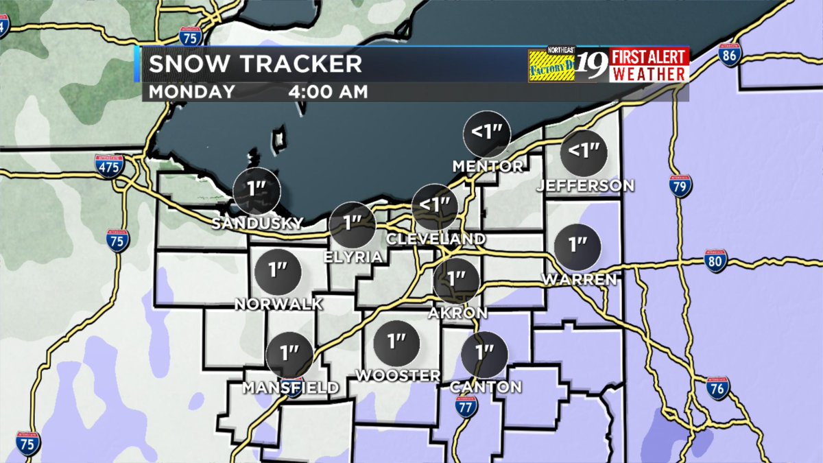
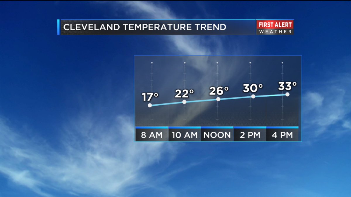
Snow arrives this afternoon and ends overnight leaving snowfall totals for everyone of around an inch. Highs approach 30 degrees today and retreats into the teens by morning.
As fair weather-making high pressure scuttles off to the Atlantic seaboard this morning, we'll see snow developing throughout the late afternoon and evening. Highs today are headed for the lower 30s and we could see an inch or two of snow before midnight.
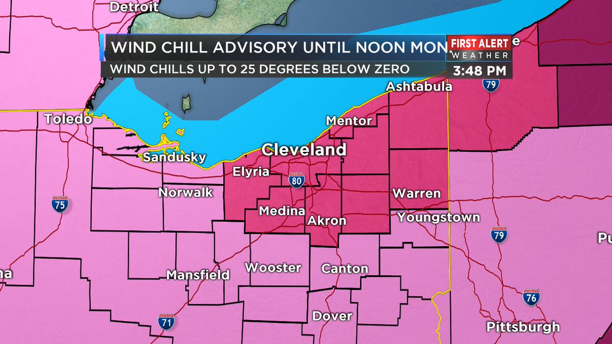
A Winter Storm Warning for Northeast Ohio until 4 A.M. Up to 3 inches of additional snow, blustery winds, low visibility in blowing snow. A Wind Chill Advisory until noon Monday for wind chills making exposed skin feel as cold as 25 degrees below zero.
Monday finalizes 2018 on a rainy, windy note. Temperatures will climb throughout the day and peak in the evening in the 50s to near 60. Wind gusts expected up to 50 mph.
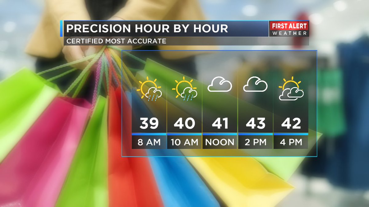
Today starts with some clouds but lives up to its name by afternoon. We'll be treated to highs in the low 40s. Clouds return tonight as lows dip into the lower 30s. Monday finalizes 2018 on a rainy, breezy and mild note.
Today's highs soar into the upper 50s as breezes continue to gust through scattered showers mainly early in the day. Temperatures will be falling throughout the afternoon. Tonight will be brisk with some lake snow toward morning. Lows in the lower 30s.
Today begins mainly grey with more and more sunshine throughout the afternoon as highs head to the lower 40s. Thursday will be windy with rain chances increasing throughout the afternoon. Look for highs in the upper 40s.
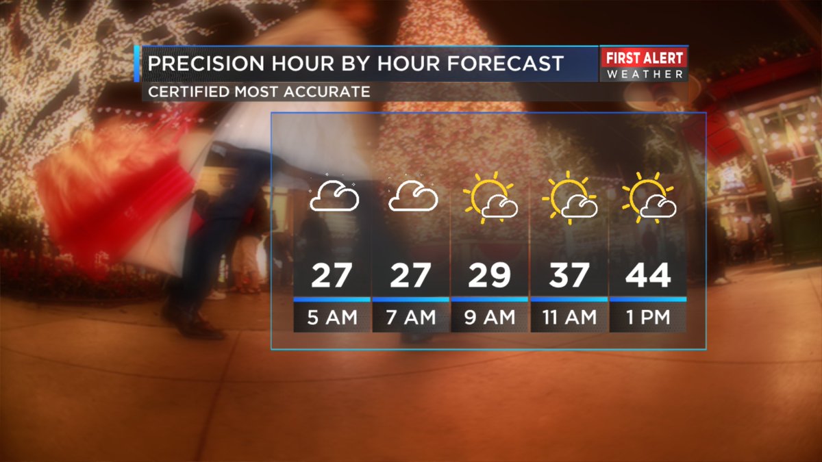
Beneath mainly cloudy skies tonight, we could yet see a few, random flurries as lows slip into the upper 20s. Wednesday begins mainly grey with more and more sunshine throughout the afternoon as highs head to 40 or a tad warmer.
An anemic cold front taking a swipe at us today will generate little more than added cloud cover but will hold temperatures in the low to mid 30s. Clouds will be on the decrease tonight allowing temperatures to slide into the mid 20s.
This morning's rain comes to an end before noon and this afternoon may even afford us a glimpse or two of sunshine as temperatures head into the mid 40s. Clouds will continue to decrease tonight as lows slip to readings in the lower 30s.
High pressure anchored over the Great Lakes will be our fair weather friend for the next several days allowing some rare, December sunshine . As skies become sunny today and the Browns take on the Panthers look for high temperatures in the mid 30s.
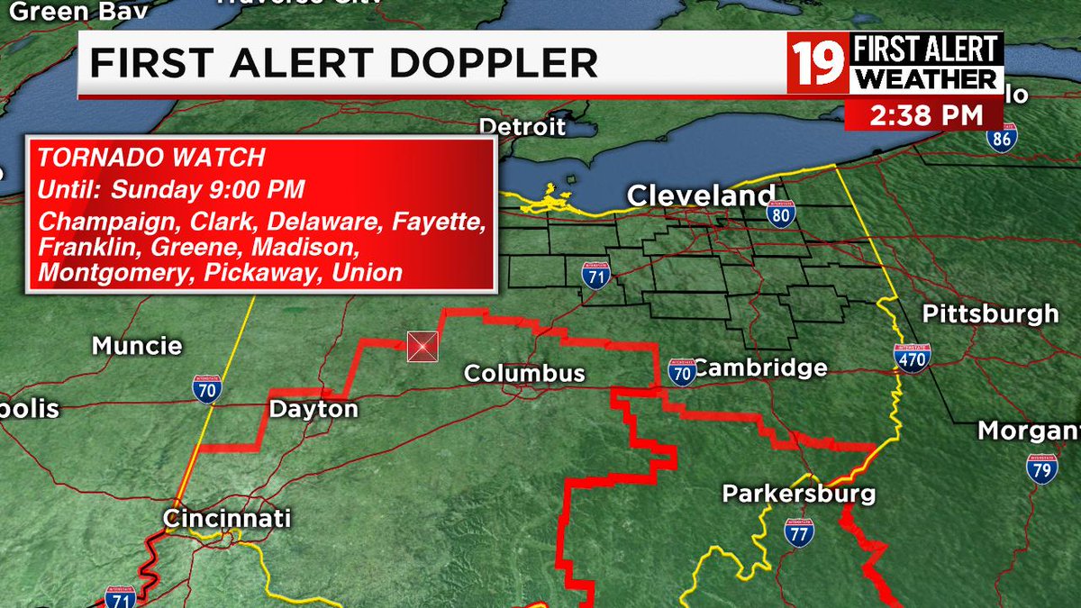
Today is an ALERT DAY as strong to severe thunderstorms will be possible late this afternoon into the evening between 4 pm and 10 pm. Strong, damaging winds and small hail will be possible. Temperatures top out at in the lower 60s amid gusty south winds.
We will see a little sunshine on today as temperatures top out at unseasonably mild readings near 60. However there is the risk of late day rain as well. Monday's temperatures plunge from low 40s into the 30s and rain early becomes snow showers late.
As showers develop before daybreak, overnight temperatures will hold steady or even rise through the 40s. Mid 40s in the morning will give way to falling temperatures into the upper 30s throughout Monday afternoon changing the rain to wet snow.
We're in for a wealth of sunshine today amid a few, discounted clouds. Southerly breezes will help in propelling temperatures into the mid 40s. Next, comes a rainy, windy Saturday with temperatures heading back to the mid 40s.
Are you ready for a healthy helping of cold turkey, a cornucopia of clouds and bone chilling foul weather? Thanksgiving 2018 will include more clouds than sunshine, light east winds and high temperatures only approaching 30°!
Tonight's rain will be winding down as we approach Monday morning and lows slide into the low and mid 40s. Clouds to start the day on Monday will give way to partial clearing by late afternoon as highs recover into the low 50s amid gusty west winds.