3DroneMapping chief, drone based LiDAR specialist, big drone flyer , aspiring sheep farmer and best friend of all African Immigration and Customs officials.
We tested the DJI M400 + L3 LiDAR against the Emlid Reach RS4 Pro to verify mapping accuracy. Full results and practical implications in the blog: https://t.co/mExncMWrgT #LiDAR#DroneMapping#Surveying#DJI#Emlid
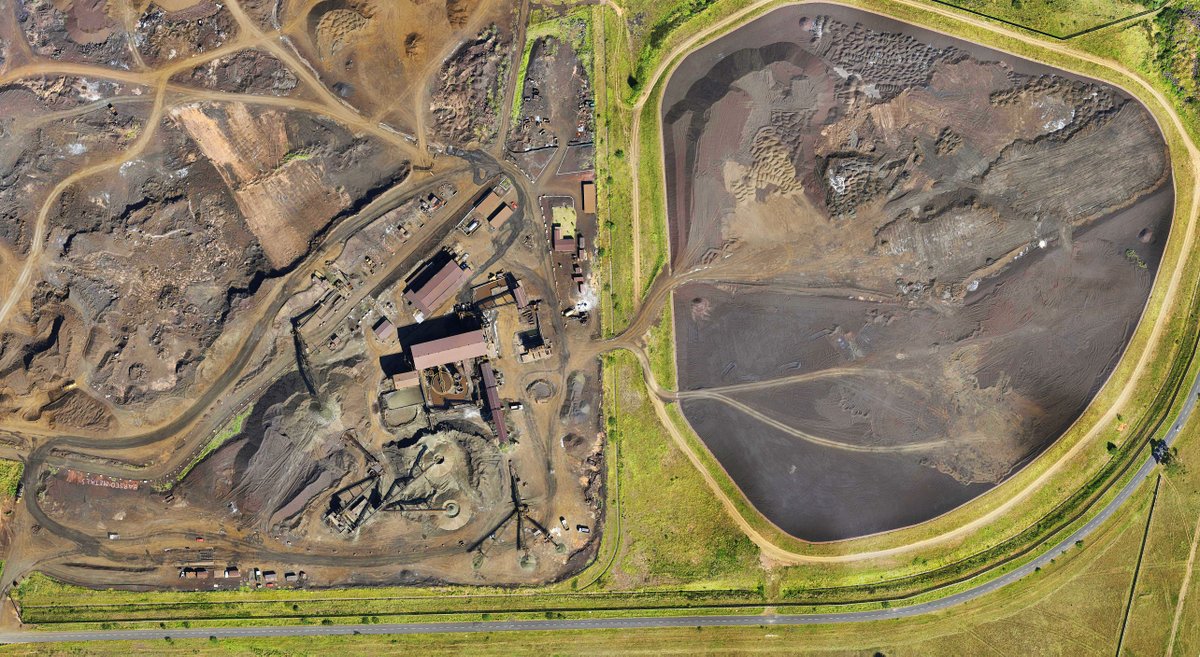
We recently completed a remote mining survey in challenging African terrain, delivering orthomosaics and point clouds. Each flight covered up to 10 000 ha, producing a DTM with ±10 cm vertical accuracy. https://t.co/l0APzwToiA #MiningTech#Surveying#DroneMapping#AfricanProjects
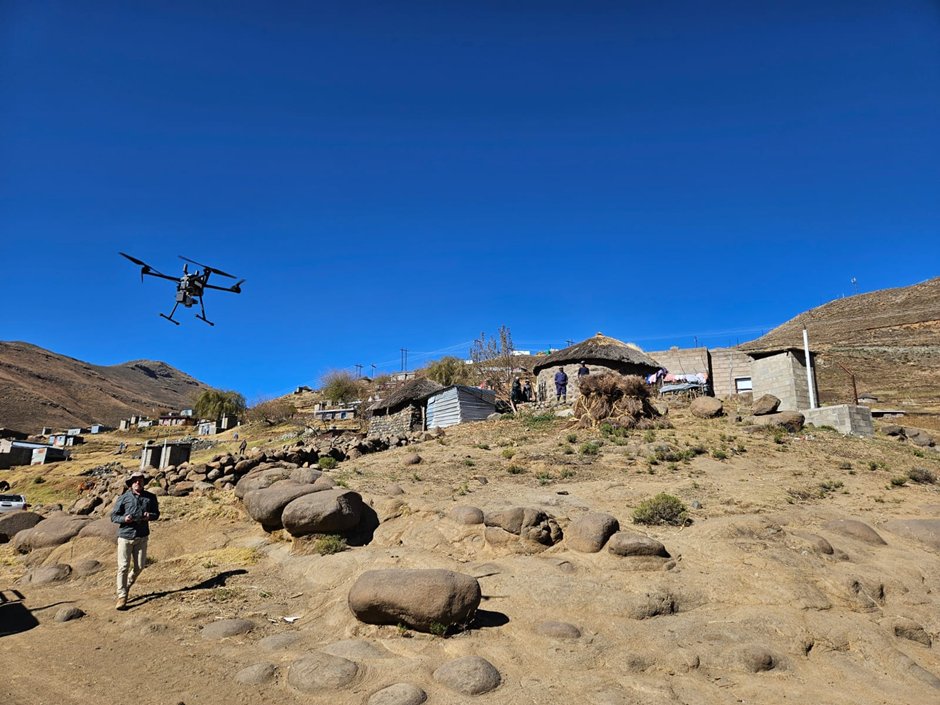
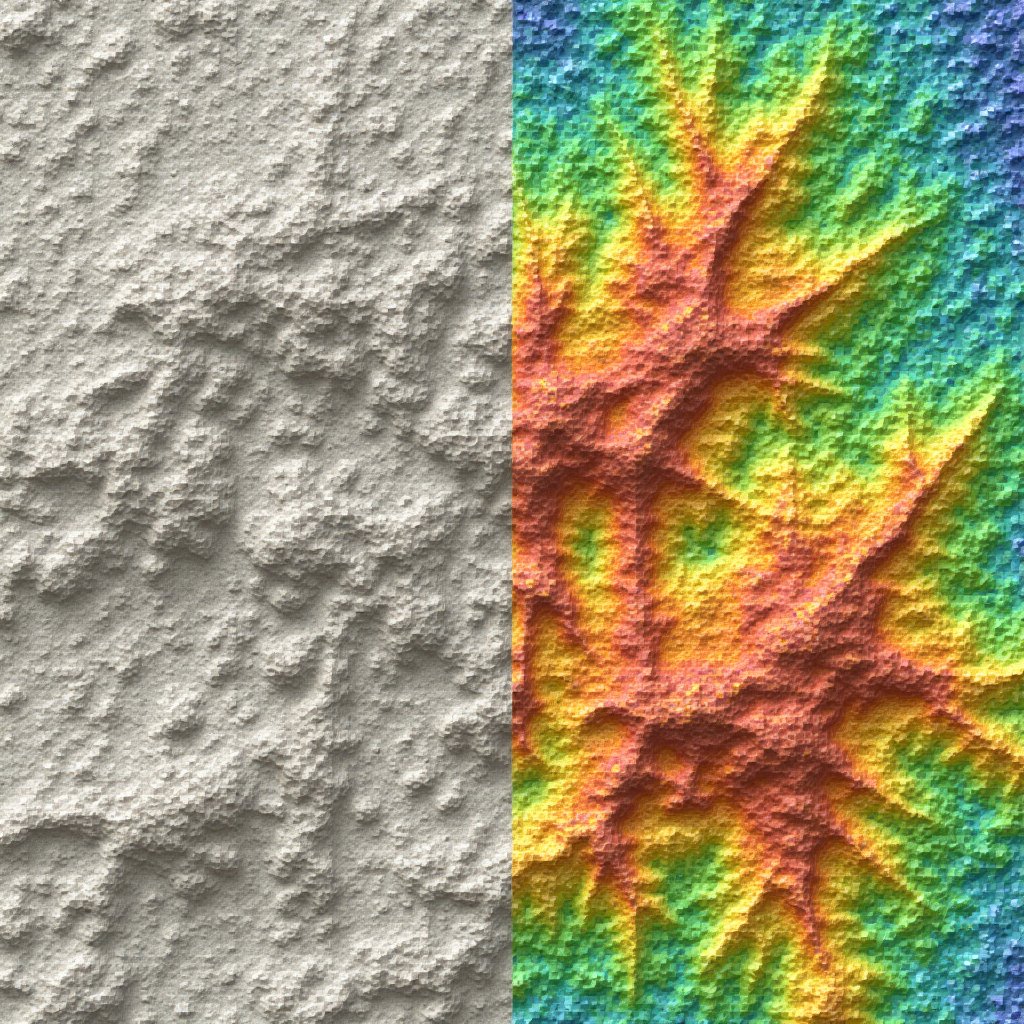
We use long‑range LiDAR drones and dense pointclouds to reveal subtle slope instability, hidden drainage paths and subsurface anomalies that traditional surveys miss. https://t.co/J6AIEvSICM #LiDAR#RiskManagement
We completed a high-accuracy LiDAR and drone aerial survey for the Canaan Project near Manzini, eSwatini. https://t.co/sw9C77HLE2 🚁📊 #LiDAR#DroneSurvey#AerialMapping
We produce high‑resolution orthophotos and DTMs from bespoke drone platforms, preventing costly redesigns and easing regulatory approval. See how our mosaics across large African sites protect your project: https://t.co/rNLnsWy4qJ #Engineering
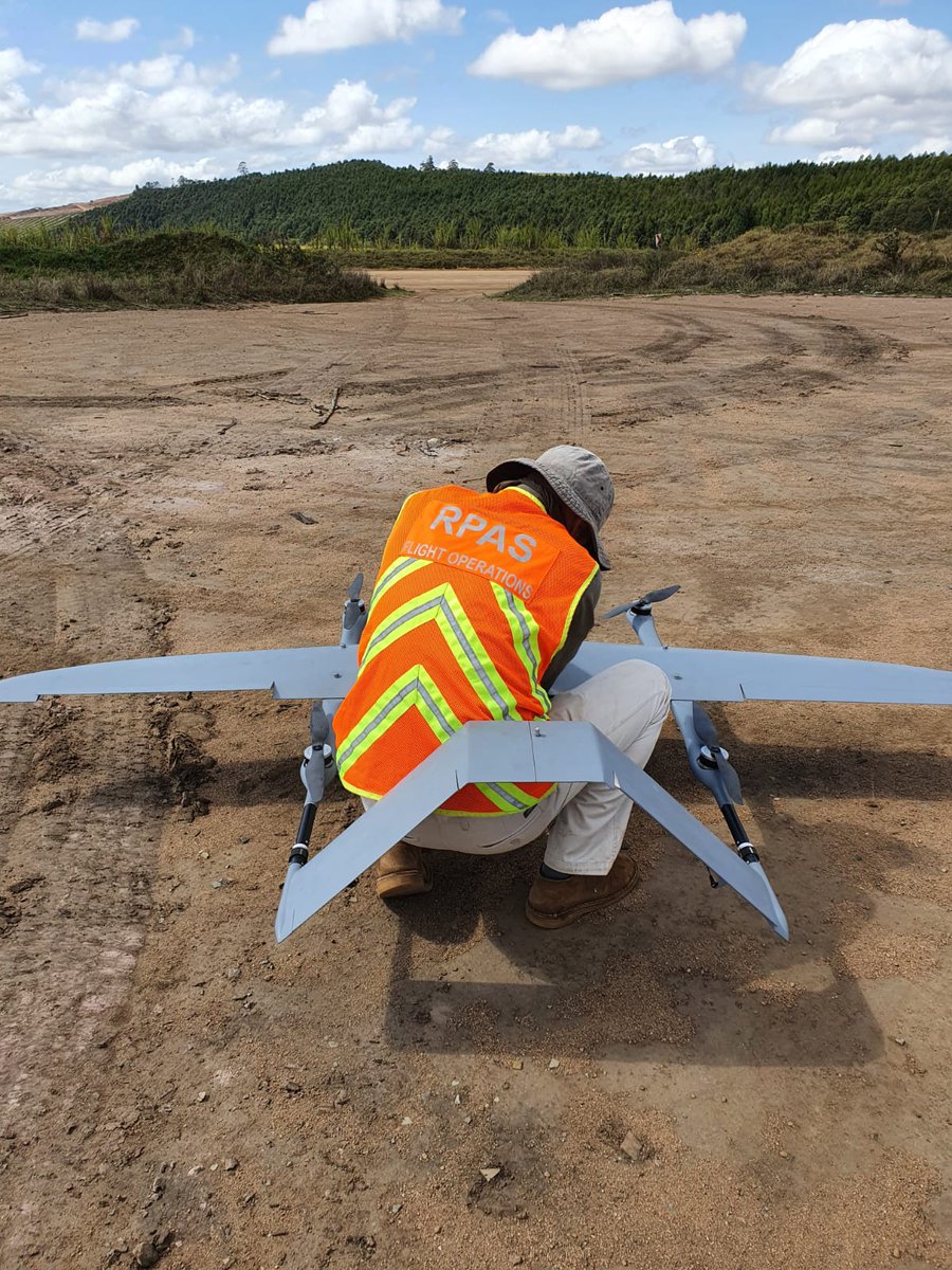
We surveyed a 280 km proposed pipeline route in Central Africa using our custom long-range VTOL drones with high-resolution LiDAR. 1 km-wide corridor at ~18 pts/m² and <50 mm accuracy. https://t.co/6U0ipB7vyb 🔍✈️ #DroneLiDAR#AerialSurvey#InfrastructurePlanning
We used LiDAR pointclouds and orthophotos to deliver precise volume estimates and topographic control across a remote concession, cutting estimation variance . https://t.co/McHEh9XqLt #mining#LiDAR
We used high-resolution drone LiDAR to map railway infrastructure at a Northern Cape manganese site, RSA, producing a dense pointcloud that let our engineers model track positions, elevations and nearby hazards with precision: https://t.co/8YLhdxi2DF #LiDAR#AerialSurvey#Mining
We used drone-based LiDAR to survey a challenging development site in Seychelles covered by dense vegetation and steep slopes, capturing over 1 billion data points in under 15 minutes. Discover how: https://t.co/UPDyXqZsu3 #LiDARTechnology#AerialSurvey#DroneMapping
We deliver high‑res orthophotos, DTMs and dense pointclouds that speed approvals by clarifying site conditions and risks. Our accurate outputs and custom platforms help align stakeholders and shorten review cycles. Learn more: https://t.co/ychcwseIZI #GeoTech
We turned raw LiDAR into site-ready deliverables: dense pointclouds, orthophotos and DTMs that cut survey time by 40% and improved volume accuracy for cut‑and‑fill estimates. https://t.co/7j8YfNxuep #SurveyTech
In Tembisa, South Africa, we've leveraged drone-based LiDAR surveys to create accurate terrain and building models, enabling efficient wireless infrastructure planning that overcomes complex landscape challenges. #LiDAR#AerialSurvey
https://t.co/5FTyphs9u8
We deploy custom long‑range drones to survey remote African mines, pipelines and farms, cutting mobilization time and field costs while handling harsh terrain and limited infrastructure. See operational benefits and case details: https://t.co/0sixQ67gJF #RemoteSurvey
We tested the new Emlid Reach RS4 Pro GNSS receiver with our BESSIE VTOL LiDAR drone. Exploring how enhanced all-band frequencies and high sensitivity antennas improve LiDAR survey accuracy. https://t.co/fWWG6VIHBn #DroneMapping#LiDAR#Emlid#AerialSurvey
@UAVHive@RandoRobby42@ArduPilotTeam Absolutely hate it that our beloved software is used for harmful purposes. I can’t imagine the stress that is being felt by all ardupilot devs knowing that it’s being used like this