The Mid-Atlantic Regional Association Coastal Ocean Observing System, part of the @usioosgov system, powers understanding and prediction of the ocean and coasts
Use the "MARACOOS CBEFS Likelihood of HAB Occurrence" data layer from VIMS on OceanMap to forecast where harmful algal blooms may appear across the Chesapeake.
A Nor'easter is making its way up the coast bringing impacts to the Mid-Atlantic and New England.
For official warnings tune into your local @NWS. For real-time coastal conditions check out these storm resources:
https://t.co/1ky2XwCRxO
#noreaster#coastalsafety#stormtracking
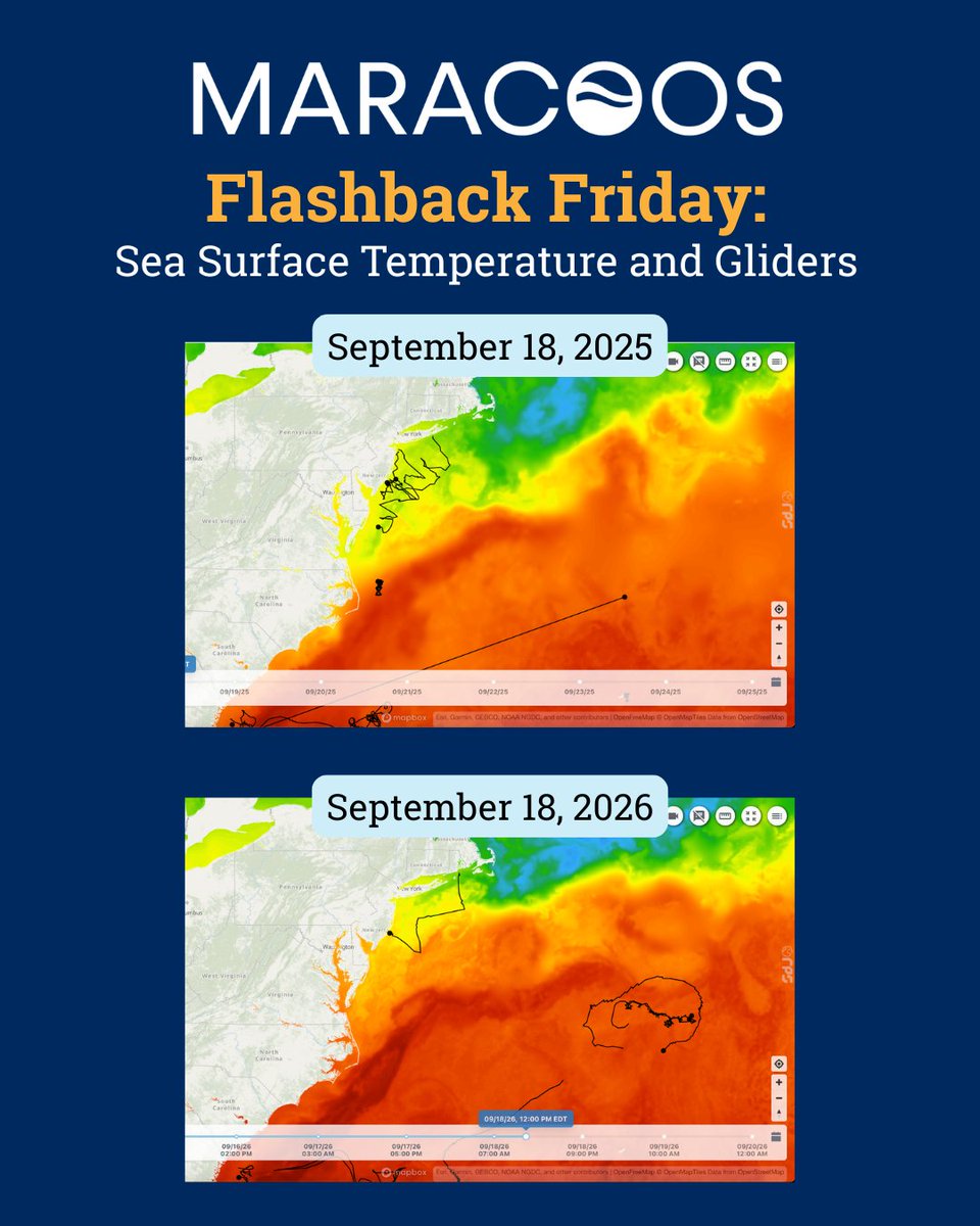
Take a look at this time last year on OceansMap featuring sea surface temperature and glider activity. Explore OceansMap data and see what you can find.
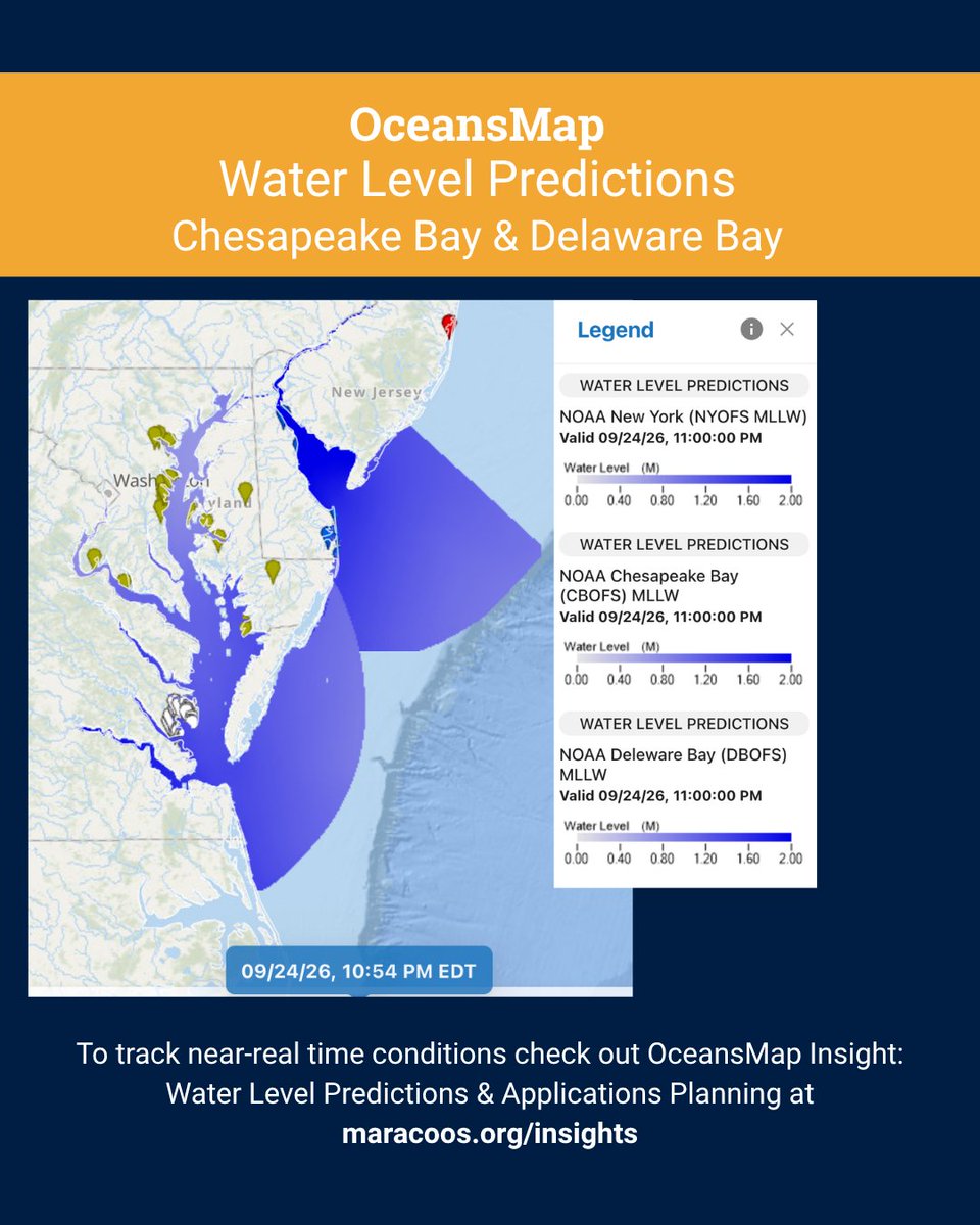
We learned in school that heat causes things to expand. The same is true for ocean water, which is one reason sea levels are rising. Rising seas threaten our coastal communities and infrastructure. You can track water level changes with our OceansMap data layers.
Living shorelines are gaining popularity because they support local habitats and help manage rising sea levels. Many projects can be found throughout the Mid-Atlantic, where storm surges impact our major coastal cities.
Interested in learning more about how researchers utilize eDNA, acoustic telemetry, and passive acoustic monitoring? Learn more about this work by visiting: https://t.co/lbbqIqGD1Z
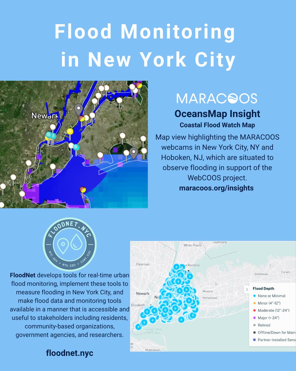
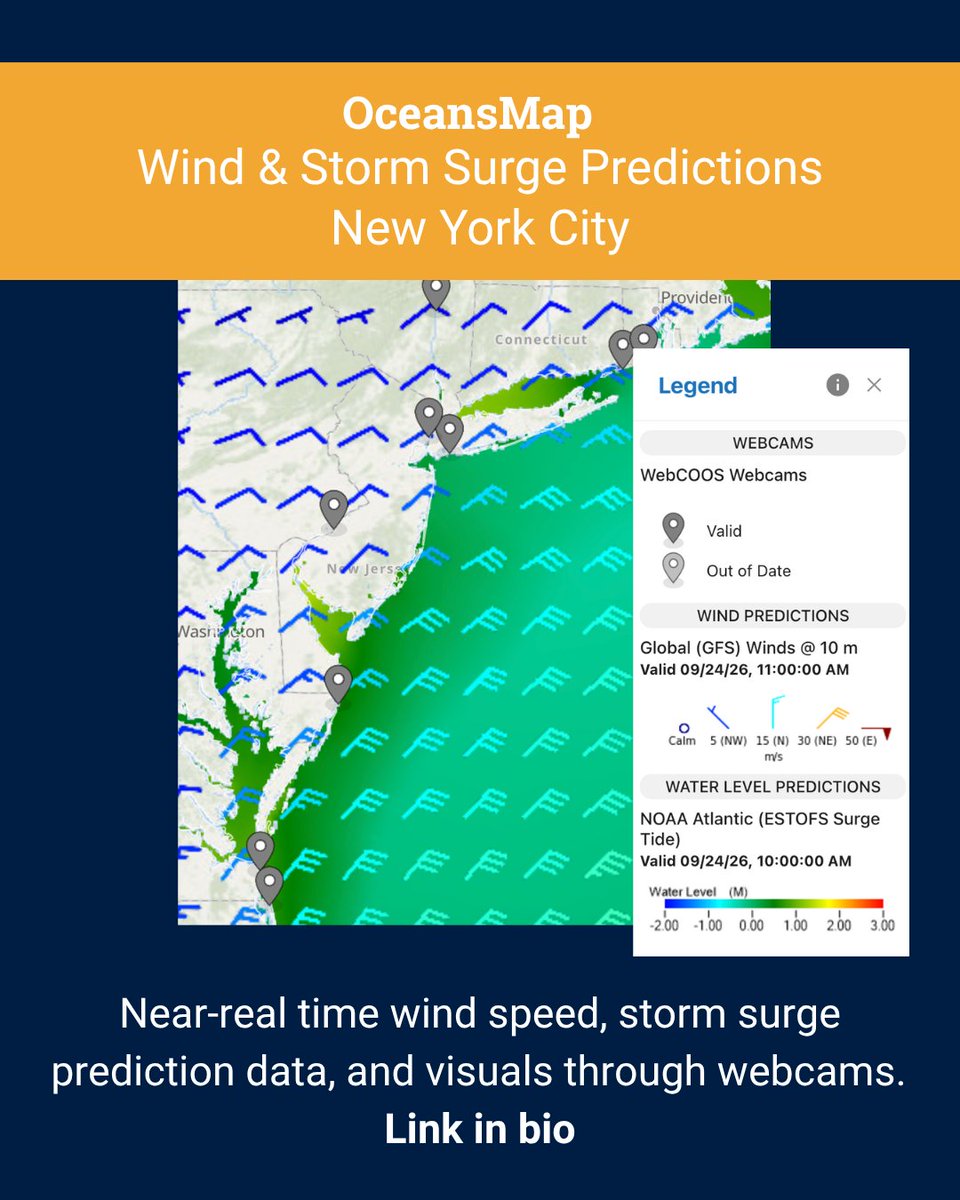
When a hurricane or coastal storm threatens the East Coast, having the right information in one place can make it easier to understand what’s happening – and what may be coming next.
Explore East Coast Storm Tracking on MARACOOS OceansMap:
https://t.co/l6drDB0r5w
LiDAR plays a key role in our research because it gives us important information without needing to measure everything on site. We even use this data in OceansMap, like for the Beacon Wind Offshore Wind Project!
Waves can cause serious damage along the shore, especially as sea levels rise. Erosion can shape the shoreline in many different ways. Enjoy this graphic from EduSphere Academy!
Find wave data like height and speed on OceansMap! https://t.co/xq1RqkpgAx
It's hard to believe August is here already. There are just a few days left to enjoy surfing before school starts again. Surf enthusiasts near Bethany Beach, Delaware can check out the surfing conditions dashboard: https://t.co/AFiPIdtnZK. Enjoy the waves! #oceandata#surf
It's now easier to explore WebCOOS cameras in your region and/or in your state!
We had a little fun with today exploring all the WebCOOS cameras in various IOOS regions! Check out all the cameras by visiting https://t.co/UbYIHbvKsM
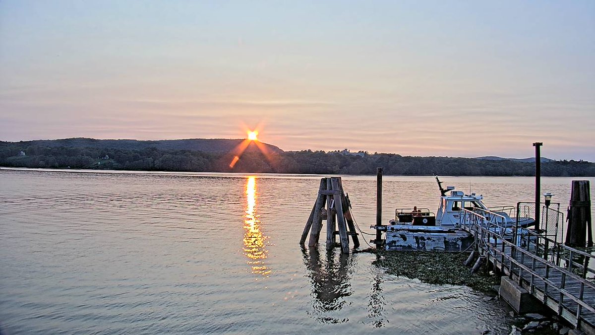
📸 MARACOOS Norrie Point Camera
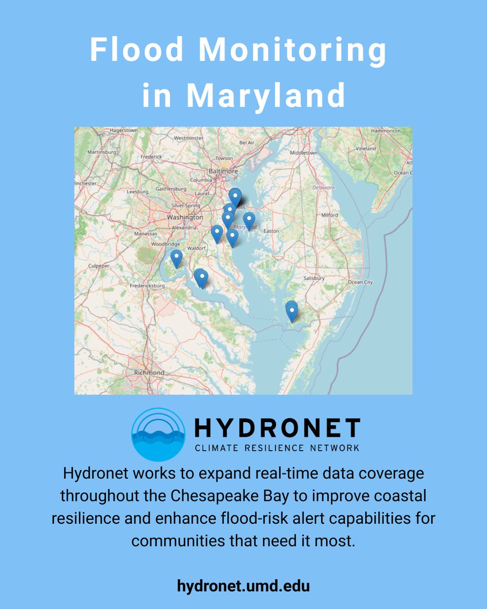
The University of Maryland Hydronet's new water-level sensor at Breezy Point Beach and Campground in Calvert County, MD is a great example of what regional partnerships can accomplish.
https://t.co/gVj3A1LTjD
#ChesapeakeBay#CoastalMonitoring#OceanData#OceanObserving
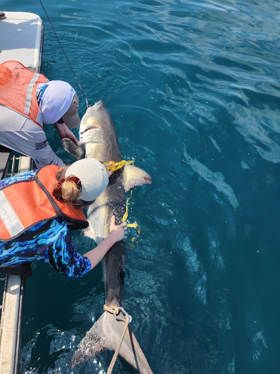
Happy #SharkWeek!
Did you know sharks can can help collect important oceanographic data to improve hurricane forecasting? Learn more https://t.co/5AE2nPVpdX and be sure to catch MARACOOS partner and @MarineBioTrack Lead @drneilhammer tonight at 10pm ET on @SharkWeek.
We've got a hawk's eye view of the World Cup Championship match taking place in our own backyard! What team will you be cheering for?
📸 MARACOOS webcamera at Robert Moses State Park to monitor storm impacts, flooding, and recreational activities.
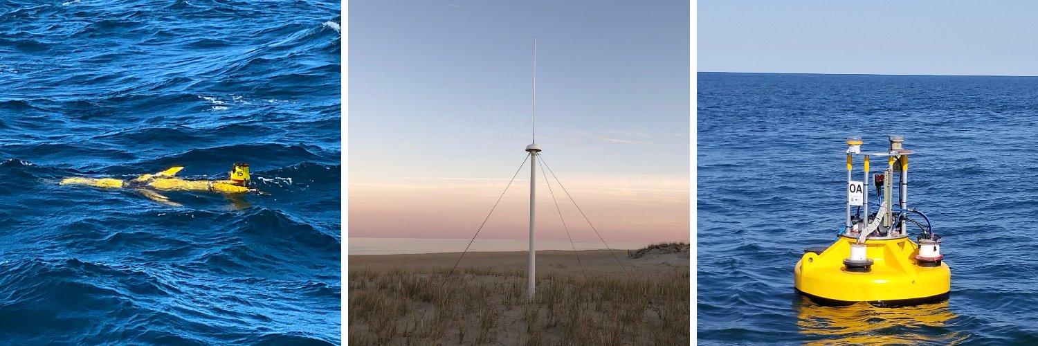
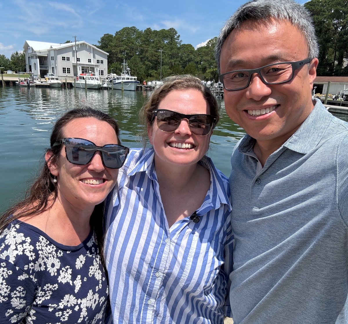
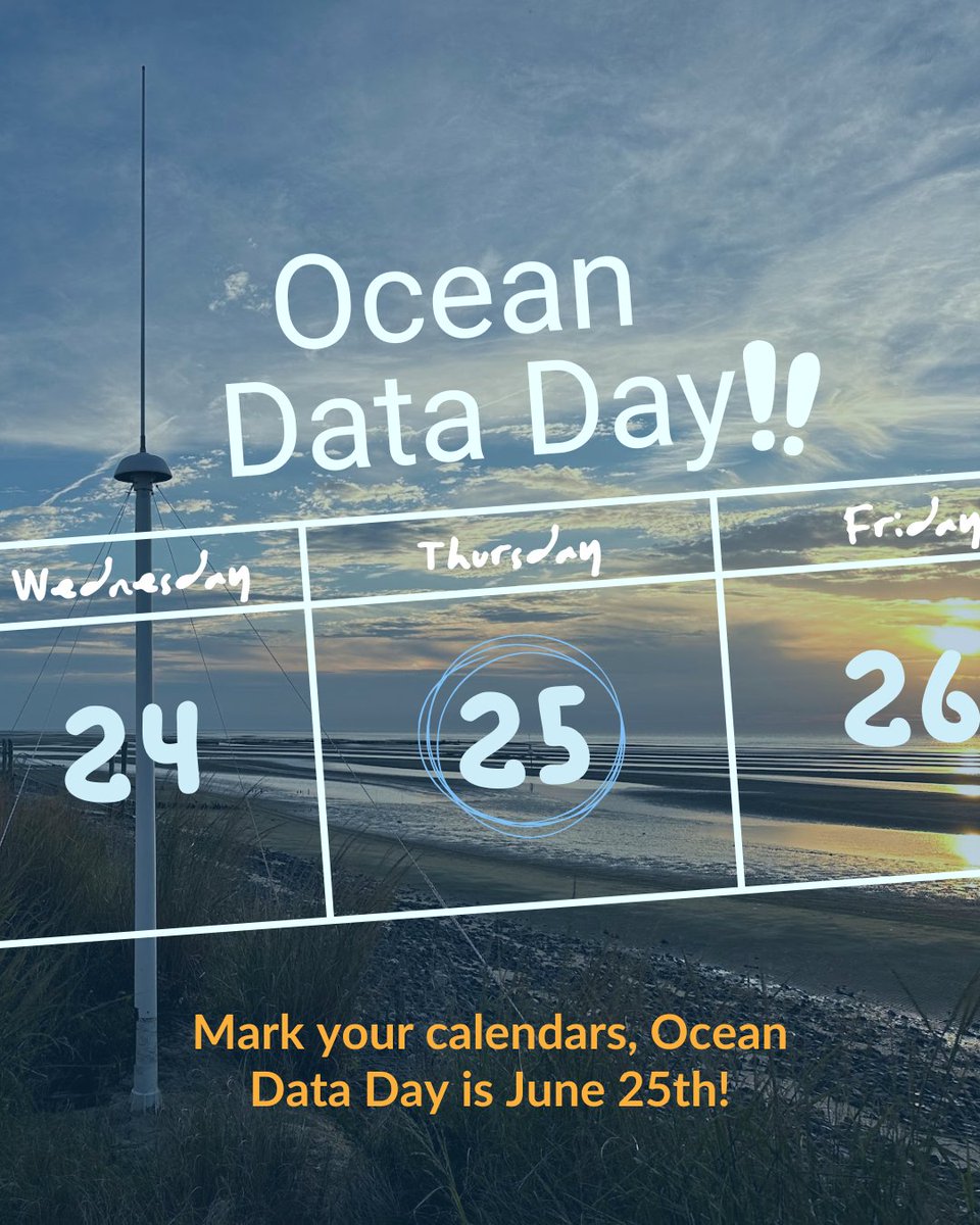
Ahead of Ocean Data Day, the MARACOOS team visited Dr. Donglai Gong and his students at VIMS in Gloucester Point. We got an up-close look at the Slocum Glider heading out this summer as part of our regional glider deployments.
https://t.co/OVu49nST7J
#OceanDataDay
Weekend beach conditions courtesy of OceansMap. Before heading out on the water or to the beach be sure to check out our Insights page with pre-loaded dashboards: https://t.co/FBn6zj8YAB
#OceanData#beachconditions#midatlantic#beachvibes
MARACOOS' Norrie Point webcamera is providing near real-time visibility to support the Hudson River Pilots as they work to safely guide cargo vessels up the Hudson River. https://t.co/I91J9amQai
#maritimeoperations#maritimesafety#HudsonRiver#shippingindustry
This month, we're celebrating MARACOOS 22nd birthday with a refreshed look. With a number of events and deployments approaching, we're excited to launch the logo in time for a busy summer season.
Stay tuned for the launch of our new website!