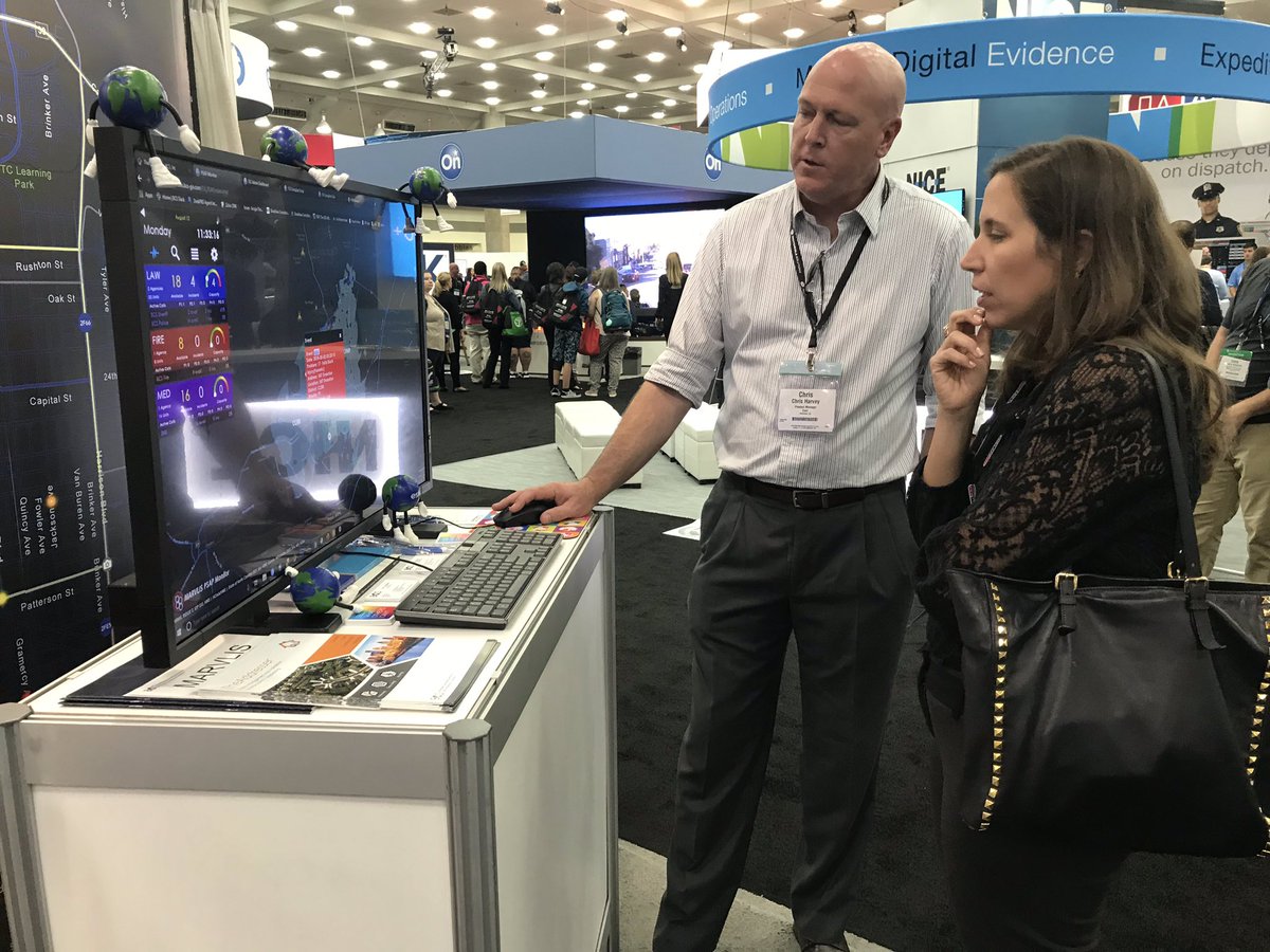
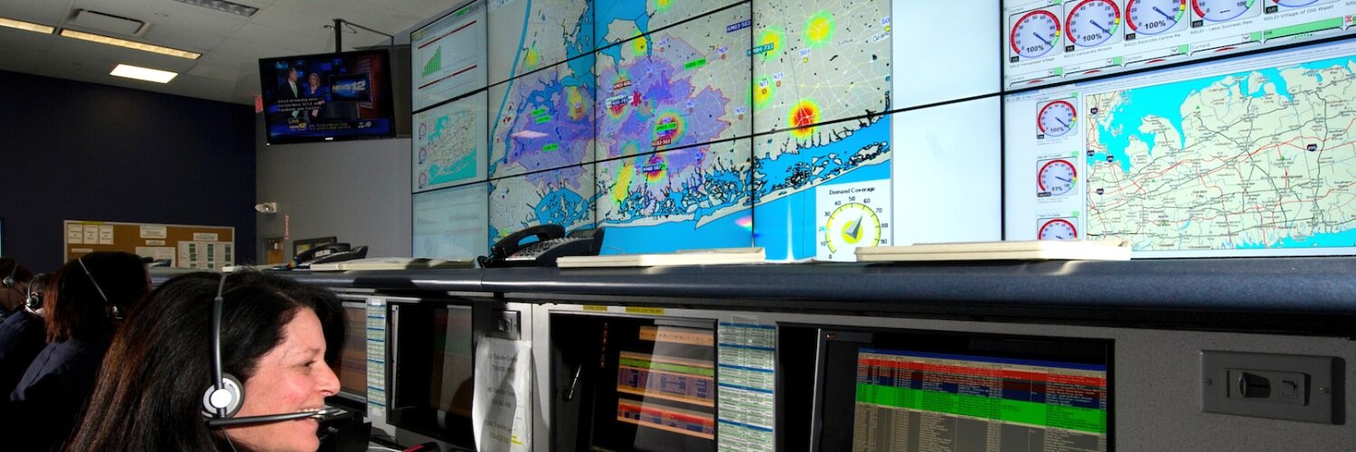
MARVLIS is a family of integrated products from @bcsgis designed to save time and money by getting the right resources to the right location at the right time.
Also available in MARVLIS 251
* Support on Windows for Location Services
* Support for Deep Link for ArcGIS Field Maps
* Updates for Stationary at Status report
* Other improvements to reports and performance
* New options for route calculations
Our development team @BCSGIS is proud to announce the latest version of @MARVLIS 251!
Here are just a few of the highlights:
* Single Sign-On to apps (OIDC/SAML)
* MARVLIS Client available for Android
* New Intercept mode between moving units
* Display Waze traffic feed
...
Significant new #MARVLIS release by @bcsgis to better support dispatch of tiered responses with flexible response package criteria, and choices in deployment now with station move-ups and zone-based coverage in addition to latest-gen SSM. @amerambassoc@911Leadership@ParamedProf
From an interactive dynamic deployment strategy to a static service-level plan, this is an example of a 'botched restoration' of the art of optimizing real-time ambulance placement.
#BotchedRestoration of a #MARVLIS masterpiece :) #humor
Would you like to see dispatches to apartments include the additional @BeansMaps points that show closest parking and building entrances in your #MARVLIS Client maps?
Improving effeciency only matters when it becomes operational. This user took a whole month to get #MARVLIS tuned in to reduce overall mileage with dynamic postings even while call volume was increasing
How is #COVID19 Affecting #MARVLIS Users? https://t.co/QUfF1WEtHf
The need for efficiency in EMS operations is never greater than during a time of emergency or crisis
You shouldn't need to drive faster to improve responses, just start closer to the next call. That's what @MARVLIS has proven can be done at many other services.
There are several factors that contribute to response times, but many systems are discovering that posting ambulances closer to the call before it comes in can save time and even reduce miles driven under lights and siren for safety too.
That's a #MARVLIS thing to do!
Single point solutions that solve real business challenges are great. #MARVLIS is much more than that when it comes to improving operational efficiencies in the fire service, but with integration across solutions its #BeyondMARVLIS. #CalChiefs@bcsgis
Finding addresses and getting good directions from your GIS data requires a level of accuracy that TheAddresser from @bcsgis can help you achieve and maintain! #NG911#APCO2019
Save $9.95 on a copy of "Closest Vehicle Dispatch: A Primer for Fire" by visiting @esri booth @IAFC#FRI2019 for your free copy! https://t.co/KlG0WNP3xE
#GIS can do more than facilitate AVL dispatch, it gives you the ability to dynamically view your risk! #SeeWhatOthersCant
#NG911 requires that accurate addresses be maintained on an updated routable street network. #MARVLIS and #TheAddresser help you manage that data and use it to improve both the safety and efficiency of your responses - not only for those you serve but for your own liability too!