SEVERE WEATHER OUTBREAK TODAY NORTHERN PLAINS!
A big day for severe weather is expected this afternoon and evening from Nebraska to Manitoba. The main threats will be major wind bag and gorilla hail, but a strong+ #tornado cannot be ruled out, particularly near the surface low track near the Canada border.
The #Dominator 3 is fixed in record time and our science mission has been saved.
Never stop chasing
Nadocast has a 1.5-3% chance of a tornado death within 25 miles of a point today across Southern MB into North Dakota… 🌪️ 💀
Have a way to receive alerts today! 🚨
#MBStorm#MBwx#NDwx
@ReedTimmerUSA@WillClay25@localmanweather Hey, Reed
You should ask the @nws why they aren’t launching balloons across the Plains of the U.S.
Such a huge gap in data,
it’s horrendous!
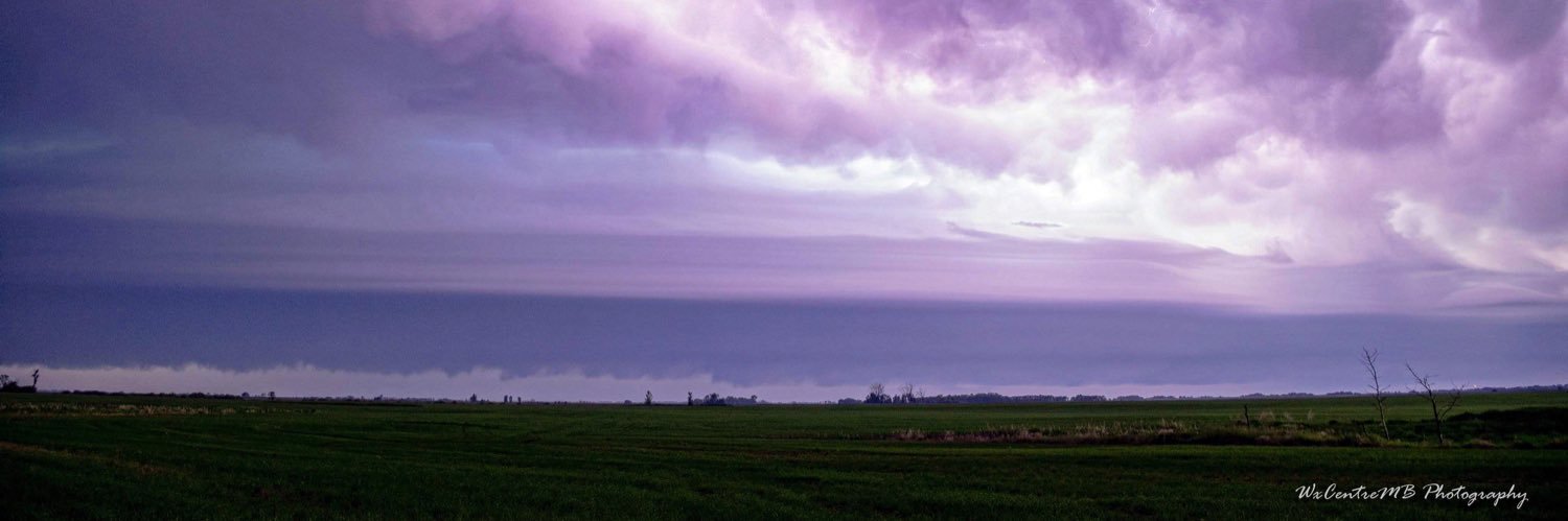
Sure would be nice to be able to sample the real atmosphere ahead of today's severe weather potential in the eastern Prairies.
A lack of upstream weather balloon observations will mean degraded and inconsistent weather model output...
ECCC has gone EXTREME again in this morning’s updated Thunderstorm Outlook for today (June 9th, 2026).
All severe hazards will be possible within the red shaded area. 🚨 ⛈️ 🌪️ 🌬️ 🧊
#MBStorm#MBwx
-Justin. 🤓
(1/2) Once again severe weather is coming to Manitoba tomorrow we will have an all hazard risk in place.
Tornadoes will be possible with a large 10% Hatched risk area for EF2+ Tornadoes in place across SW MB according to the latest Nadocast run tonight 🌪️
@BrandonCopicWx Well it may be a new experience for you but it’s the same old for myself and the guys @AndrewHamm_MB@Jamiepefreeman
I told @TannerChasing I was worried and he said it’s all good, It’s Canada , it’ll produce. Wrongo haha 😆
I was sandwiched in between @BrandonCopicWx and some other chasers yesterday South of Elkhorn, Manitoba chasing a supercell
Really felt like I was in the movie Twister, haha
Not bad for Canada! 🇨🇦
#MBStorm#MBwx#StormChasing
-Justin. 🤓