The @msudenver WX lab got a makeover! If you are interested in studying Meteorology in Colorado, please contact @keah88, @DocWX, or go to https://t.co/rAaQq113ep to learn more about our awesome program. We’re back for in-person this Fall semester! #cowx#wxtwitter#WeatherWithUs
Six of the seasons are associated with El Nino (#1, #2, #4, #5, #6, & #11), five seasons corresponded to a Neutral phase (#8, #10, #12, #13, & #14), and three seasons are associated with La Nina (#3, #7, & #9). #COWX#ENSO#Snow#climate
.@CoAmateurHockey, please consider rescheduling all of your playoff games until at least Monday. Driving on I-25 and I-70 during Saturday afternoon & evening will be dangerous, especially across the Palmer Divide. #cowx#Snow#COHockey#Caha
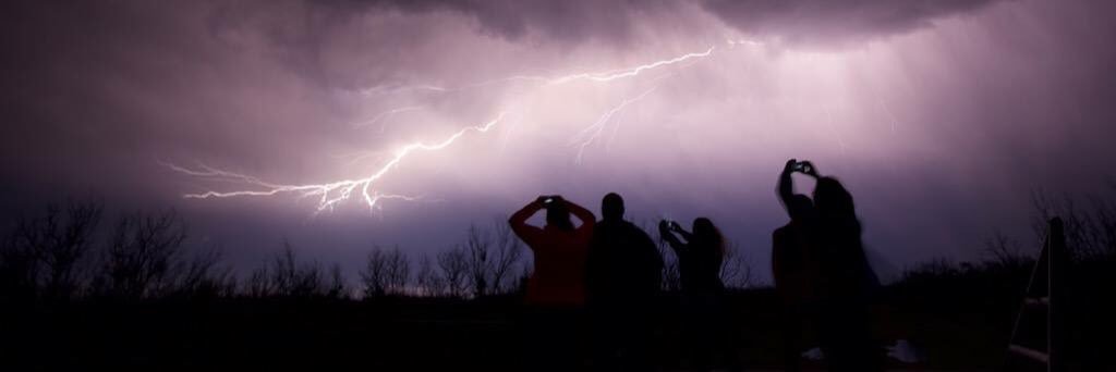
Not out of the realm of possibility that we might hear a rumble of thunder or two on Saturday afternoon. The NAM3KM is showing a pocket of instability. This instability is NOT associated with CSI, though. Thundersnow is possible. #COWX#snow#Thundersnow#snowstorm#wxtwitter
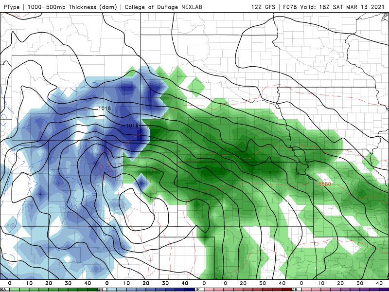
The 5460m thickness contour is not an ideal rain/snow line for Colorado. The more appropriate mark to use is the 5520m contour due to the higher elevation & precip does not have to fall as far to reach the surface. Change over is a moot point if the models verify. #cowx#snow
With the long duration of the easterly flow, I would not be surprised if a barrier jet forms with this upcoming snowstorm along the Front Range. A barrier jet could lead to an enhancement of snowfall locally for the Front Range communities. #cowx#snowpocalypse#snOMG#wxtwitter
If this upcoming storm gives us a 10-to-1 SLR (Snow to Liquid Ratio), I will be shocked. The most likely scenario will be between 6- and 8-to-1 SLR. Cyclonic upslope storms bring more moisture & warmer temperature into play. Stop applying a 10-to-1 SLR for all snowstorms! #cowx