Despite severe thunderstorm watch being issued through 1am, I expect peak severe risk through sunset (aka 9pm) before risk really taper down beyond 11pm.
Not even 1 minute after 95% MD was issued, the severe thunderstorm watch was issued in eastern Ohio and western PA along with far northern counties in West Virginia through 1am.
In addition to flooding, there is also some severe weather to watch down in far S IL, S IN, and Kentucky where there is tornado and damaging wind risk. Cloud coverage could be limiting factor to keep the threat on more localized level vs more widespread. More on that tomorrow.
We will have to keep an eye on the elevated flooding threat in lower OHV tonight into Sat AM. In particular, I am watching C MO, S IL, & S IN for the greatest flooding where as much as 2" - 5" can fall. Most pick up 0.50" - 1.25" across numerous shower areas.
Here is today’s risk, not planning on making changes here from yesterday. Eastern Ohio Valley should see development of severe storms later this afternoon/early evening with wind/hail threat. Only hail in MI and everything possible in MO/SW IL by late day / evening.
Well that worked out well, mainly hail north and mixed wind/hail in S WI/N IL. We also managed to get a tornado report and there were couple cells which spinned yesterday.
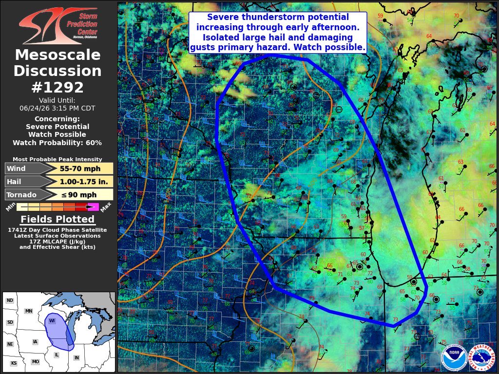
Just showing a best break down of the risk. On the bonus, severe thunderstorm watch also just issued in Wisconsin and northern Illinois through 10pm CDT.
Following severe risk Thu, we will have to keep an eye on yet another flooding threat developing late Thu night into Sat AM. Fairly large area will see decent rainfall with a narrow corridor in C MO, C IL, & C IN whereas much as 2”-5” can fall. Most will see at least 0.60”-1.20”.
Following today's severe weather in WI / N IL, the threat area shifts into the eastern Ohio Valley on Thursday PM, where we will watch for damaging winds and isolated large hail. Upper low over MI brings a separate hail risk. Severe event over Plains spills in far SW OHV Thu eve.
Just showing a best break down of the risk. On the bonus, severe thunderstorm watch also just issued in Wisconsin and northern Illinois through 10pm CDT.
There is 60% chance for severe thunderstorm watch to be issued in Wisconsin and northern Illinois. Given the colder upper levels, hail is primary threat in Wisconsin while wind gusts mostly staying in 30-45mph range. Oddly, far S WI / N IL has best localized severe gusts risk.
@CollinGrossWx@EckWx My biggest critique of SPC wasn’t the early day outlook, but not drawing enhanced area at 9pm update in narrow corridor of southern IN and N KY when several cells were spinning.
Radar loop showing the evolution of a powerful MCS (Mesoscale Convective System) that developed in the Highs Plains yesterday evening before blasting through Oklahoma during the predawn hours today.
Highest recorded wind gust was west of Oklahoma City in Caddo County at 102mph!
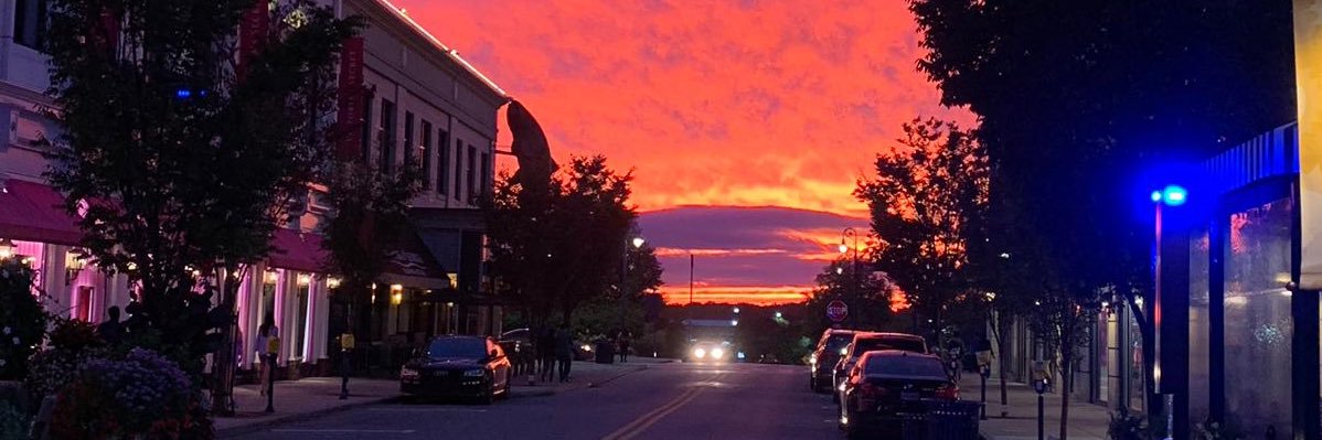
Just an unpleasant reminder that our daylight hours have already started to lessen. Perhaps there is someone out there that begs to differ on it being “unpleasant”, right?
So we did see decent amount of sub-severe storms in E MO and SW IL where 40-50mph gusts were common, just not enough thankfully for damage. East, forecast couldn’t have gone better accuracy wise, but plenty of damages occurred as result of tornadoes. Tally will go up there.