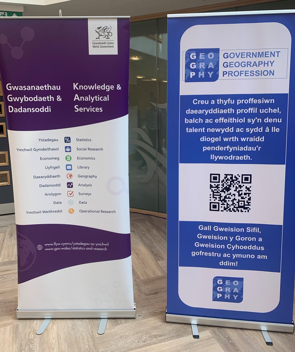
An inspiring day at the Knowledge and Analytical Services conference on Wednesday, bringing together our analytical community to spark ideas, share insights, and build partnerships. Collaboration is key to better outcomes!
Diwrnod ysbrydoledig yng nghynhadledd Gwasanaethau Gwybodaeth a Dadansoddol ddydd Mercher, gan ddod ��'n cymuned ddadansoddol at ei gilydd i sbarduno syniadau, rhannu mewnwelediadau, ac adeiladu partneriaethau. Mae cydweithio yn allweddol i ganlyniadau gwell!
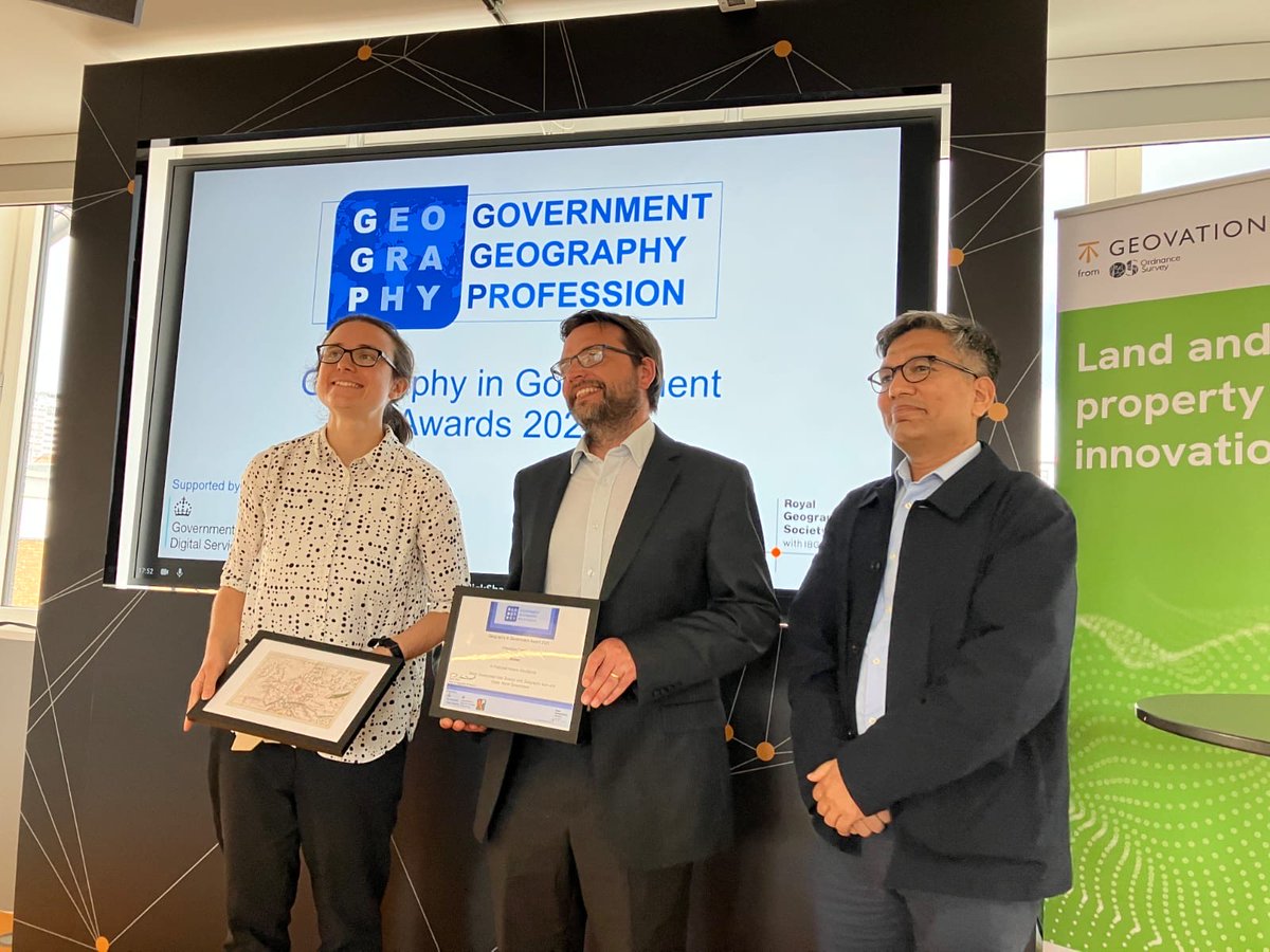
Congratulations to our Geospatial Analyst and Data Science colleagues for their success in the Innovation category at last night’s Geography in Government Awards. Read about their winning project here: https://t.co/KMWtDCvzJS and see the dataset here: https://t.co/cpyE3Y2JI7
Llongyfarchiadau i'n cydweithwyr Geo-ofodol a Gwyddor Data am eu llwyddiant yn y categori Arloesi yng Ngwobrau Daearyddiaeth yn y Llywodraeth neithiwr. Darllenwch am eu prosiect buddugol yma: https://t.co/BqS5ikmaz3 ac edrychwch ar y set ddata yma: https://t.co/MD3Watn3qk
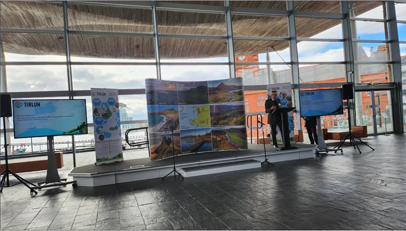
Today is International #GirlsinICT Day, encouraging girls and young women to purse STEM education. The women of DMW recommend the newly launched Tirlun website which brings geography to life for students in Wales : https://t.co/0K0KM3PPUn
Heddiw yw Diwrnod Rhyngwladol #GirlsinICT, sy'n annog merched a menywod ifanc i ddilyn addysg STEM. Mae menywod MDC yn argymell gwefan Tirlun sydd newydd ei lansio sy'n dod â daearyddiaeth yn fyw i fyfyrwyr yng Nghymru. https://t.co/FBMviWyakf
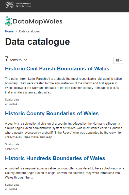
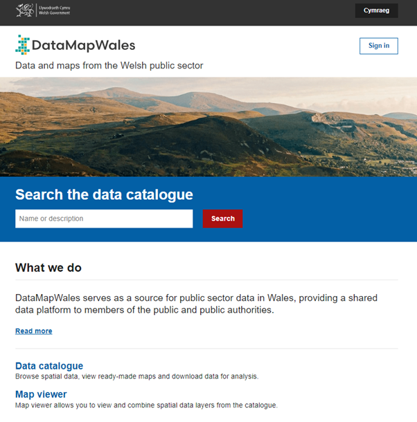
Historical Boundaries of Wales datasets (#Counties, #Hundreds, #Parishes, and more) published by @rcahmwales, are now available on DataMapWales: https://t.co/RMaBg43OfO
If you are a member of the Government Geography Profession and missed the recent @GovGeo webinar - Unleashing the Archives: Mapping the Past for the Future, exploring how mapping history can shape tomorrow, you can watch the video here: https://t.co/2waRL1HWMt
Os ydych yn aelod o Broffesiwn Daearyddiaeth y Llywodraeth ac wedi methu gweminar diweddar @GovGeo - Rhyddhau'r Archifau: Mapio'r Gorffennol ar gyfer y Dyfodol, gan archwilio sut y gall mapio hanes siapio yfory, gallwch wylio'r fideo yma: https://t.co/2waRL1HWMt
Happy #PostGISday! Today we celebrate open-source GIS applications and in exciting news, DataMapWales is getting an upgrade! Stay tuned for our upcoming blog with more details.
#PostGISday hapus! Heddiw, rydym yn dathlu cymhwysiadau GIS ffynhonnell agored ac mewn newyddion cyffrous, mae MapDataCymru yn cael uwchraddio! Bydd ein blog nesaf yn cynnwys mwy o fanylion.
Happy #WorldGIS day! Today we celebrate the power of Geographical Information Systems (GIS) like DMW in mapping and analysing our world. GIS can help us to understand patterns and relationships, enabling better decision-making and problem-solving.
Diwrnod #WorldGIS hapus! Heddiw, rydym yn dathlu pŵer Systemau Gwybodaeth Ddaearyddol (GIS) fel MapDataCymru wrth fapio a dadansoddi ein byd. Gall GIS ein helpu i ddeall patrymau a pherthnasoedd, gan alluogi gwneud penderfyniadau gwell a datrys problemau.
Interesting sessions and insights at the AGI GeoCymru conference this week from our team and all speakers on key geographical topics that are important to our community in Wales. https://t.co/MrARYuwqWG
Sesiynau diddorol a mewnwelediadau yng nghynhadledd AGI GeoCymru yr wythnos hon gan ein tîm a'r holl siaradwyr ar bynciau daearyddol allweddol sy'n bwysig i'n cymuned yng Nghymru. https://t.co/MrARYuwqWG
The DMW team is looking forward to the https://t.co/T5bM6xpM9E conference next Tuesday and learning more about key geographical topics that are important to our community in Wales, including more from our Data team about lost woodland restoration: https://t.co/KMWtDCvzJS
Mae'r tîm MDC yn edrych ymlaen at gynhadledd https://t.co/T5bM6xpM9E ddydd Mawrth nesaf ac yn dysgu mwy am bynciau daearyddol allweddol sy'n bwysig i'n cymuned yng Nghymru, gan gynnwys mwy gan ein tîm Data am adfer coetiroedd coll: https://t.co/BqS5ikmaz3
The DataMapWales platform will be unavailable at 5 p.m. Wednesday 2nd October for around 10 minutes. This is due to a scheduled database server upgrade. We apologise for any inconvenience.
Ni fydd platfform MapDataCymru ar gael am 5 y.p. dydd Mercher 2 Hydref am tua 10 munud, oherwydd uwchraddio gweinydd cronfa ddata wedi'i drefnu. Ymddiheurwn am unrhyw anghyfleustra.
Great insights from the DMW team at yesterday’s 1Spatial World Tour 2024, showcasing how we use FME (Feature Manipulation Engine) for data manipulation and integration in new ways.