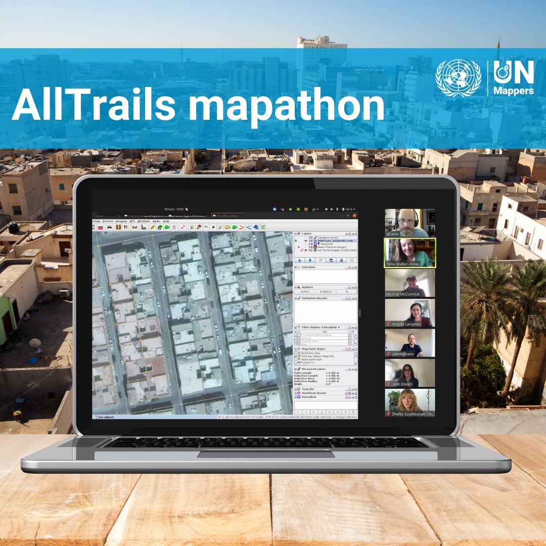
AllTrails also contributed to the mapping of the city of Tripoli! Do you know that you can give your contribution by mapping in this project? https://t.co/tFZnHJqFx3
@AllTrails@gischatbot
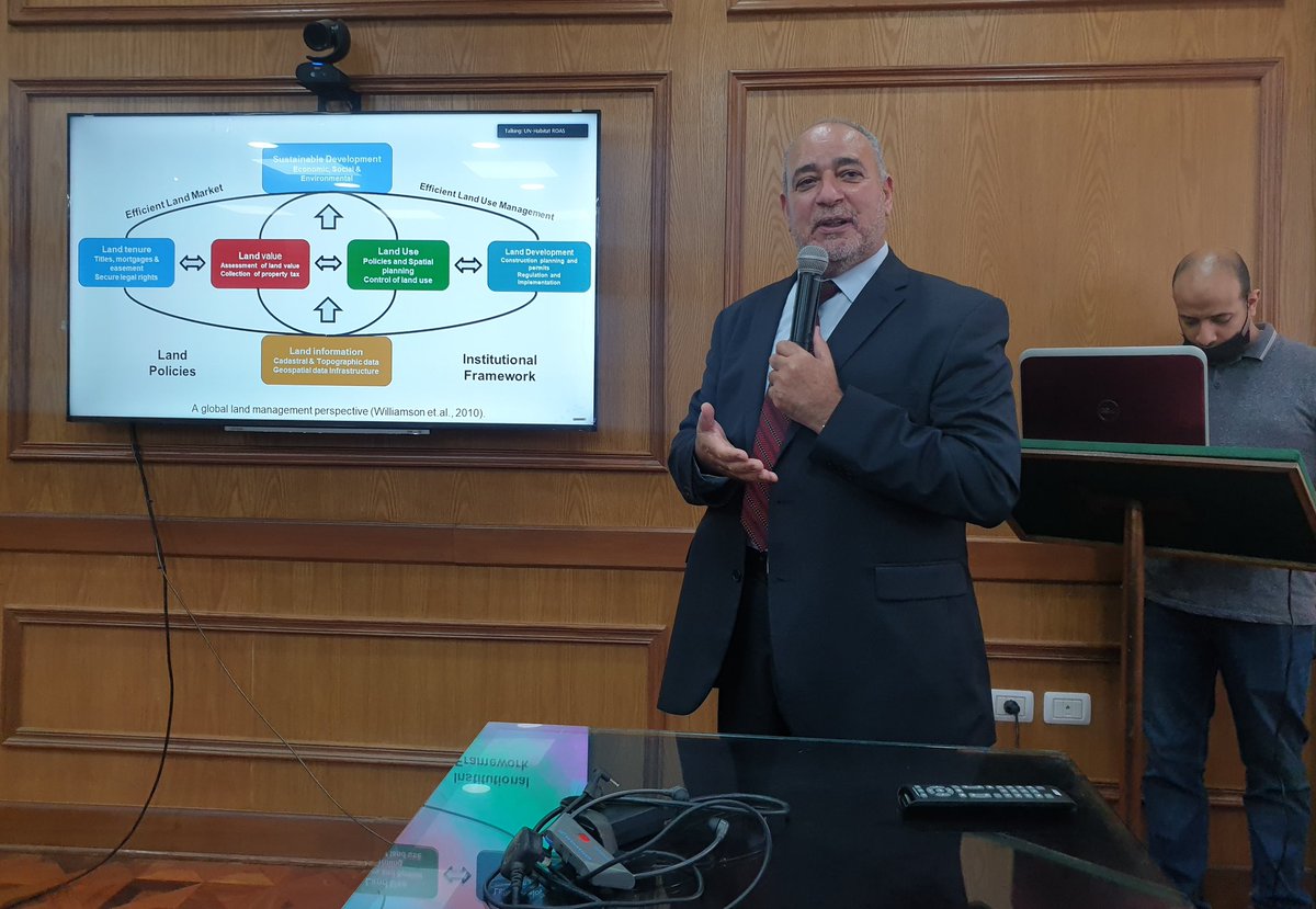
Dr Jamal Gledan presents fit-for-purpose land administration at the Expert Group Meeting on the Role of Land Professionals in advancing Good Land Governance in the Arab Region, organizer by Istidama, @GLTNArabLand@UNHABITAT@GLTNnews
The next chapter at OGC is here. Join us in celebrating the organization's new brand, and continued commitment to making location information Findable, Accessible, Interoperable, and Reusable: https://t.co/Uojkc8LhzG
#Geospatial#Location
عبر عالمٍ تملأ طريقه المطبات ويعرقل الازدحام المفاجئ سيره، محطات مضت وأخرى قادمة تجمعنا نحو إكمال هذا الطريق ومواصلة رحلة التحول الرقمي.
يُسعدنا أن نشارككم تـاريخ المشروع وأهم محطاتنا
#LSDI
نشأتهُ
هو أحد مشاريع الهيئة العامة للمعلومات بإشراف وتنفيذ الجمعية الليبية للإستشعار عن بعد ونظم المعلومات الجغرافية، والذي يهدف لتمكين المجتمع ومؤسساته من تداول البيانات والوصول إلى المعلومات المكانية التي تشاركها الدولة الليبية.
#LSDI#GIALibya#LSRSGIS
4/4
تطلعاتهُ
• تحقيق أفضل المستويات لإدارة البيانات المكانية وفق المعايير والمواصفات القياسية.
• توفير مصدر مستدام للبيانات المكانية الداعمة لمشاريع التنمية والتطوير.
• التوعية بأهمية المشروع.
• بناء وتطوير القدرات الوطنية في مجال البيانات المكانية.
3/4
مشروع البنية التحتية للبيانات المكانية لليبيا | نظرة عن كثب 🔍
عنهُ
بوابة إلكترونية تفاعلية أعدت بخبرات وطنية تعتمد معايير دولية، حيث توفر هذه البوابة قواعد بيانات مكانية متكاملة، شاملة، موحدة ومحكومة بسياسات وضوابط بحيث تكون متاحةً للجميع وفق مستويات وصول مختلفة.
#LSDI
1/4
Project Aims:
• To actualize the best standards of spatial data management.
• To provide a sustainable spatial data source.
• To raise awareness about the importance of such projects.
• Build up of national staff competence in spatial data field.
⬇️
Libya Spatial Data Infrastructure
Is an interactive e-portal that provides accessibility to layered & attributed spatial data. It is a collection of efforts between state institutions, local contributors to provide a complete, unified, and legislated framework for spatial data⬇️
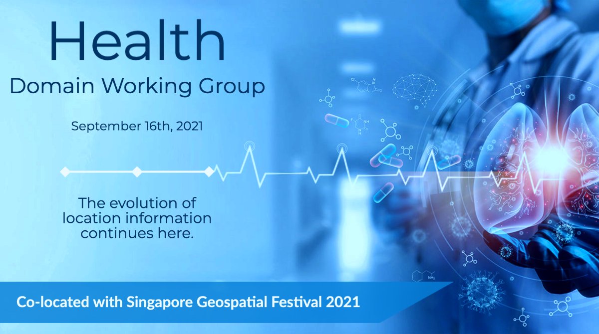
The OGCs Health Domain Working Group is being co-located at the #SgGeoFest during #OGC21Sept Member Meeting. Engage with your community to create an impact on topics such as security of health data, global health equity, and so much more! Register Now: https://t.co/fCE0GGNISB
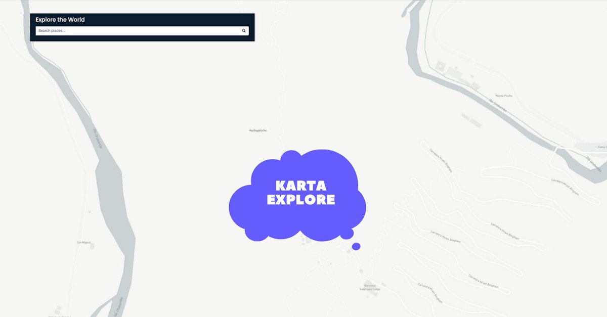
#Kartaexplore is in the middle of nowhere. This is one of the roads you'd have to take to reach one of the most beautiful landmarks in the world.
We know you know it #kartaviewers! 💜
Hint https://t.co/bdAqJsvTdJ