We're excited to announce that Mapillary now features @Esri satellite imagery as a map style, available on all of our platforms.
Unlock new geointelligence opportunities by visualizing your Mapillary captures against satellite imagery. Give it a try today!
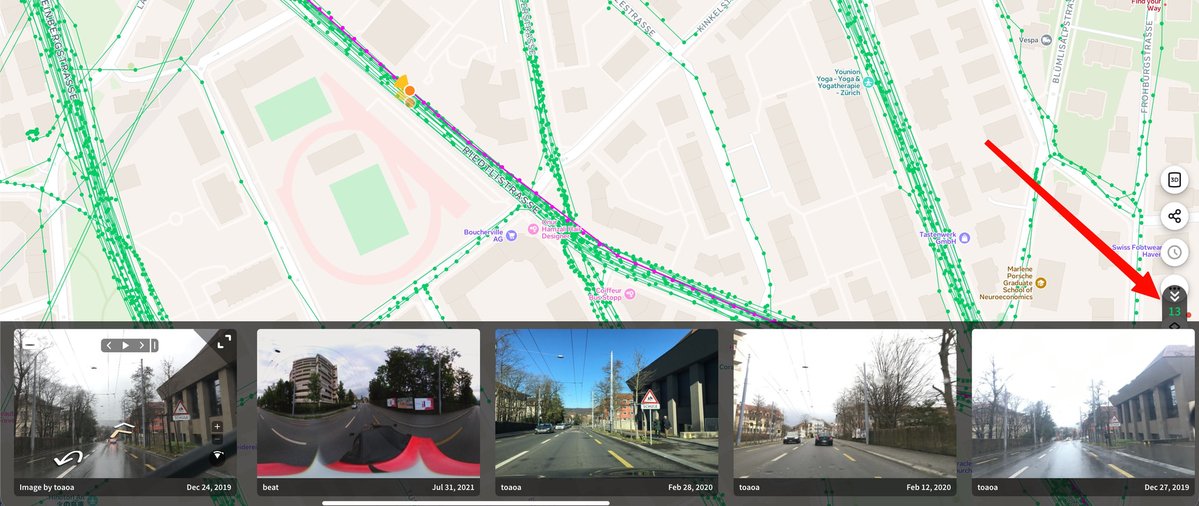
Mapillary Update: Captures Nearby 📍
Powered by our radius API, a new counter on https://t.co/VrJadCLTzv opens a carousel of surrounding imagery.
Easily find alternative views, track historical changes & discover new coverage.
Try: https://t.co/ovAnLFYsUn
Mapillary: May Top 20 Contributors 🌎
A big thanks to our community for turning global roads green this May! 🗺️
Check out our top 20 contributors!
Ready for June’s World Cup tours? ⚽️ Get out and map!
#GIS#Mapillary#StreetImagery
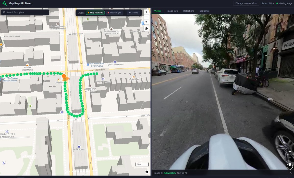
Mapillary API Update : Radius Search 📍 🕛
We are excited to share that you can now instantly search for images near any geographic coordinate using latitude, longitude, and a radius, complete with smart filtering
Give it a try: https://t.co/WGeHz5O98c
#Mapillary#Developers
Faster, Smarter, Better: Mapillary Uploader 5.1.1 is here! 💻
We’ve optimized the upload process to save power users critical time. Plus, enjoy enhanced camera compatibility with mapillary_tools v0.14.6 and bug fixes.
#Mapillary#GIS#Geospatial
Community Spotlight: Mapping the unmapped in Uganda 🌍
Using the Mapillary app, Joseph is capturing vital street-level imagery, bringing remote regions onto the global map.
See Joseph's contributions here: https://t.co/ZQy2RaKxwq
Download Mapillary (iOS/Android)!
#GIS
Introducing the Mapillary API Demo! 🌐
An interactive web app to test our API’s capabilities. Source code included.
Blog: https://t.co/stAdLw0arv
GitHub: https://t.co/8pQug07XMj
#Mapillary#GIS#OpenSource#Geospatial
Mapillary Update - MUTCD Codes are Live on the Mapillary API
We're excited to share that you can now extract traffic sign data from Mapillary’s street-level imagery using official MUTCD through our API.
Get started : https://t.co/K3Soxlv3Cg
#Mapillary#GIS#DOT#MUTCD
🌍 Mapillary March: Top Mappers 🏅
Congrats to this month's top contributors!
From veterans to newcomers, your imagery supports maps around the world.
Amazing work to our community!
Happy Mapping! 📸
#GIS#Mapillary#Geospatial#OSM#Maps
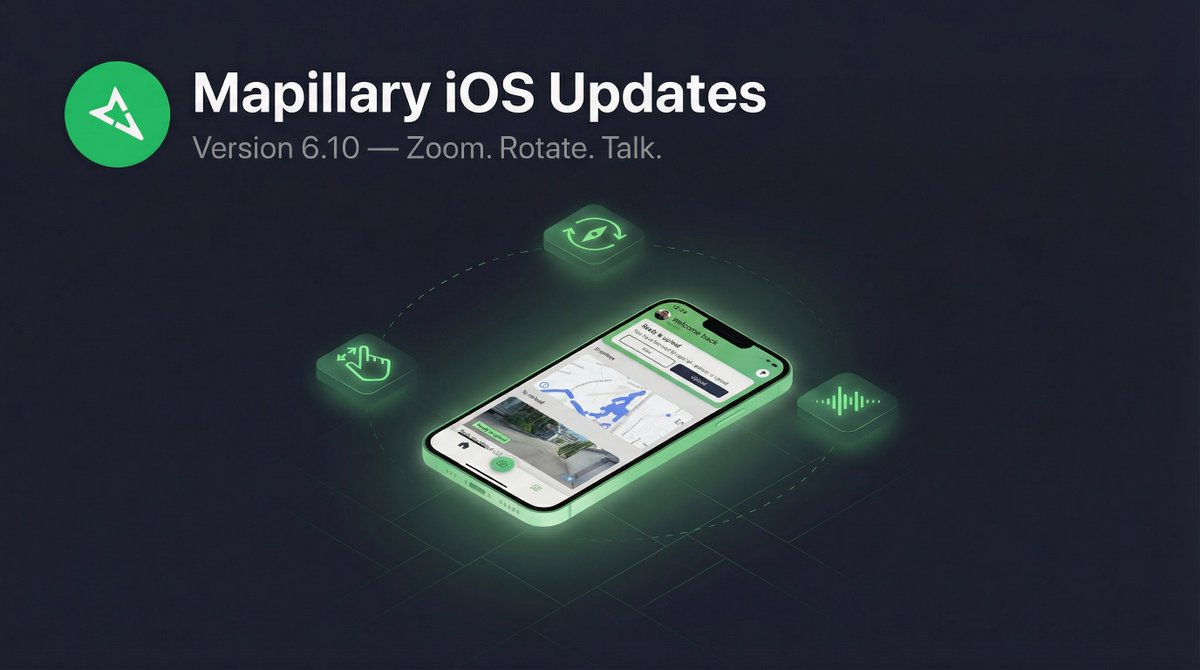
Zoom, Rotate, and Talk: What’s New in Mapillary for iOS 6.10 📱
We’ve added new tools to give you more control and a safer capture experience:
📍 Pinch to Zoom
🤏 Two Finger Rotation
🗣️ Siri Integration
Read the blog today!
https://t.co/rP1lfziyUy
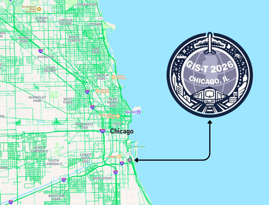
Next stop: Chicago!
The Mapillary team is headed to #GIST2026.
We’re ready to talk all things street-level imagery and transport innovation. Stop by our booth to see how we’re scaling GIS workflows with the community.
See you there! 🌎
#GIST2026#Mapillary#GIS#Chicago
Big update for Mapillary on iOS 📣
Ever had your car hood photobomb your street-level captures? Not anymore. With pinch-to-zoom now on the camera screen, you can crop out distractions and frame your shots exactly the way you want.
But that's just the start. Here's what's new:
📷 Pinch-to-zoom on camera:
🔍 Zoom & pan on captured images
🧭 Map rotation
🗣️ Siri & Shortcuts integration
Whether you're mapping by car or bike, this update makes capturing street-level imagery on iOS easier than ever.
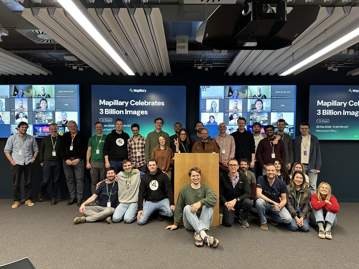
Mapillary 3 Billion🌍
Thanks to our community and founders for celebrating this milestone with us.
From 2013 to today, your contributions drive our journey. Great presentations from Boris, Varun, and Said highlighting the work behind 3B images.
Onward to 4 Billion!
Going Fast : Reserve Your Spot for the 3B Celebration! 🌍
Limited spots are going quickly for the Mapillary 3Billion Celebration. Sign up to reserve your spot.
Come and meet the team in Zurich!
Sign up: https://t.co/aWVvQnPyGl
Exciting to see our community capturing around the world in 2026! - Check out the awesome captures by @josephkerski
Tag @mapillary in your captures to get featured!
Get the Street Level View : Capture with Mapillary 🌍
While Satellite data sets the stage, for ground-truth data, you need immersive high-resolution street level imagery.
Get started with Mapillary : https://t.co/RVHwXMDBTg
#Mapillary#GIS#Transportation#Surveying
Mapillary is coming to #FedGIS2026 🌎
Come and say hello to the team in Washington DC at the largest event for federal GIS professionals!!
If you’re attending and want to discuss all things Mapillary, reach out!
#Mapillary#GIS#GEOINT#AI#FederalIT