We're Maploom Limited: Sophisticated online mapping and location analytics platform offering a range of automated analysis, reporting and dashboarding tools
Happy to announce Release 1 of #SyrphBoard our (pro bono) project to support the recording of GB #hoverflies. Find out more here: https://t.co/2aoWC3XbMW
@Wildraar We could.... but you can also explore for yourself, create your own maps and previews (for free) for larger areas at https://t.co/34Eux6csGd
in the #MaploomApp. Let us know how you get on or email us at [email protected] if you need any help.
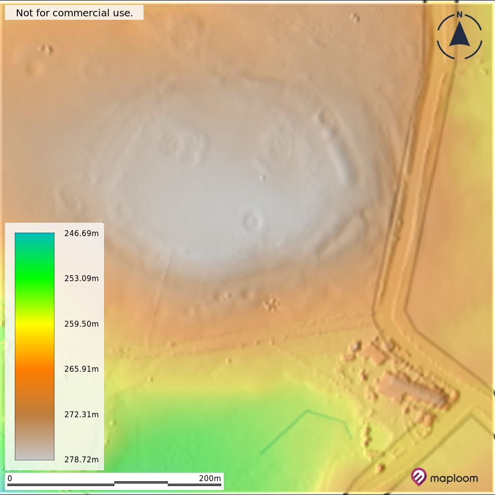
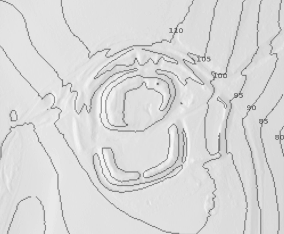
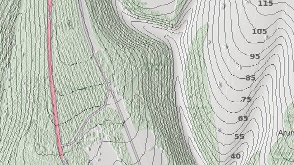
#BucklandRings in #Lymington: the elevations show the relatively low level of the location and with shading, picks out the past damage to the lower eastern edge #HillfortsWednesday https://t.co/UVDjmsM5R1
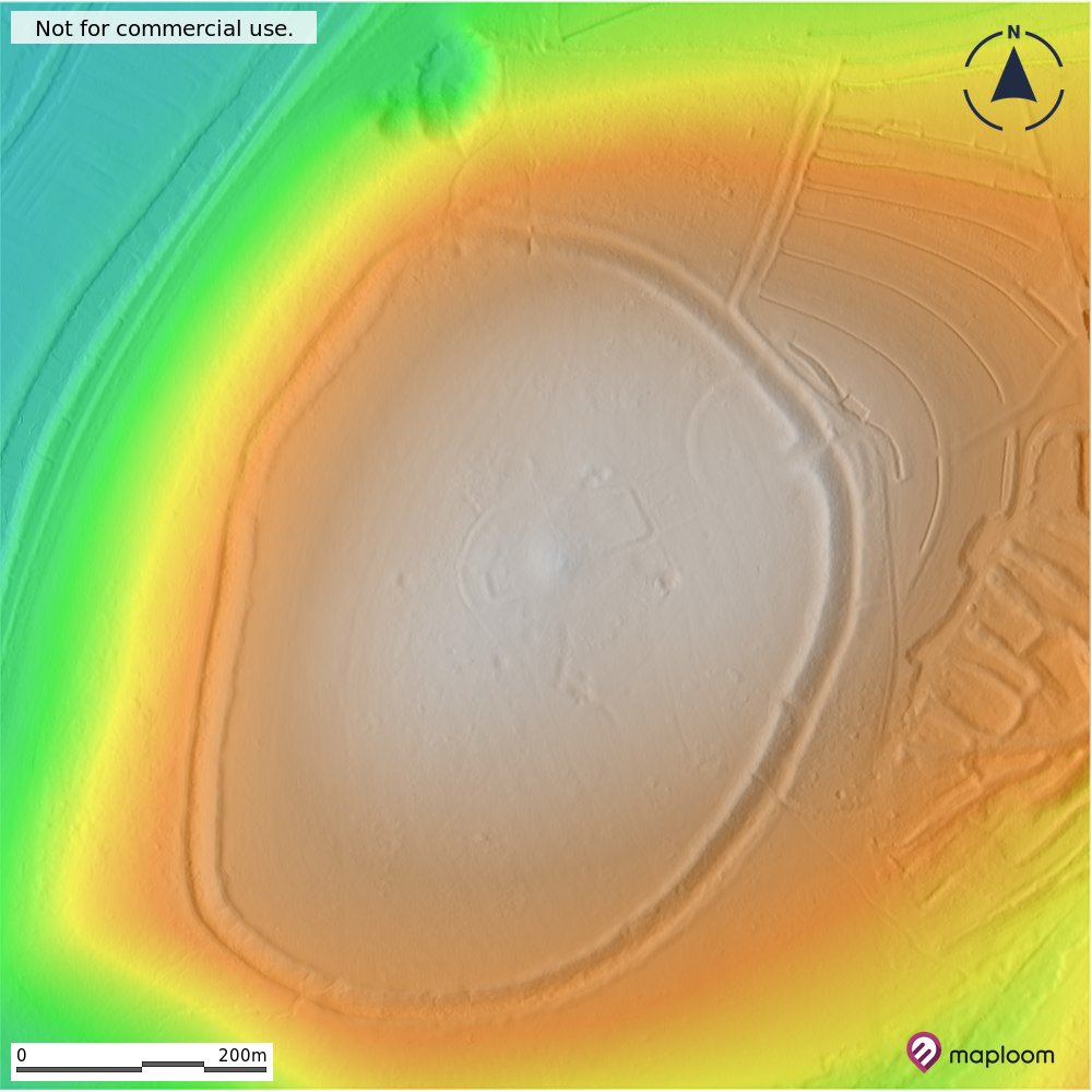
We could.... but you can also explore for yourself, create your own maps and previews (for free) for larger areas at https://t.co/34Eux6csGd in the #MaploomApp. Let us know how you get on or email us at [email protected] if you need any help.
@maploom Do you have a larger area one? There was a second Iron Age camp next to the Lymington river at Ampress. Almost nothing exists now but I wonder if something shows up on lidar.
As #SouthYorkshire enters local lockdown as part of the #Covid19UK response, you can interactively explore past and recent trends for this and other areas for yourself at https://t.co/XebHcaFosZ
0.5m #lidar terrain maps of St Catherine’s Hill, #Winchester created in #MaploomApp. You can easily create your own terrain maps at https://t.co/UVDjmsM5R1 and get previews for free #hillfortswednesday
Save money processing, check coverage and get analysis ready, pre-stitched @EnvAgencyGeomat#lidar coverages (2m,1m 0.5m) up to 64sq km within minutes with #MaploomApp https://t.co/UVDjmsM5R1 #FridayLiDAR
Merdon Castle, #Hampshire which is mostly covered by trees. Here using @EnvAgency 1m LiDAR: elevation, slope, apsect, contours and hillshade created with #MaploomApp Have a go yourself at https://t.co/UVDjmsM5R1 #HillfortsWednesday
Our #lidar based terrain tools are just the start, we’ll be adding more data and functionality very soon. Follow us or check out https://t.co/UVDjmsM5R1
We’ve launched #MaploomApp, easy to use location analytics and mapping app. Run online #terrain analysis, create #maps and download data https://t.co/UVDjmsM5R1
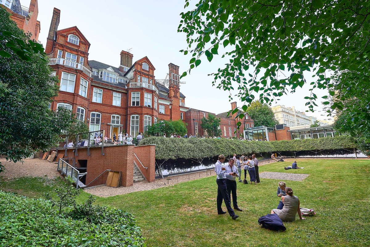
Delighted to see my old boss Chris Hill recognised today by @RGS_IBG for his longstanding contribution to #geospatial in terms of helping our understanding of human impacts on the environment. Thoroughly deserved! @GeoDataTraining https://t.co/9g0DZdiC81
🎉Congratulations to the top geographers honoured today in our annual medals and awards for their extraordinary achievements! On this thread we’ll be profiling individual recipients & how they’ve contributed to advancing geographical science.
Full list: https://t.co/JfvYTju2ne
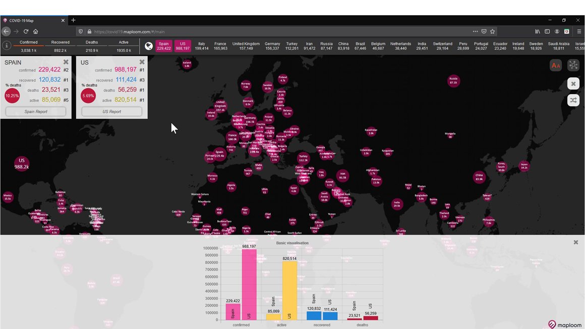
The newest addition to our geovisualisation series by @Maploom is an interactive website mapping the evolution of the #coronavirus (COVID-19) pandemic. Find out more from Maploom's Managing Director @APMurdock here: https://t.co/z6laxFOoZg