A flight to catch and a route to get right?
Missing an airport exit or taking a wrong turn can add unnecessary delays to your journey.
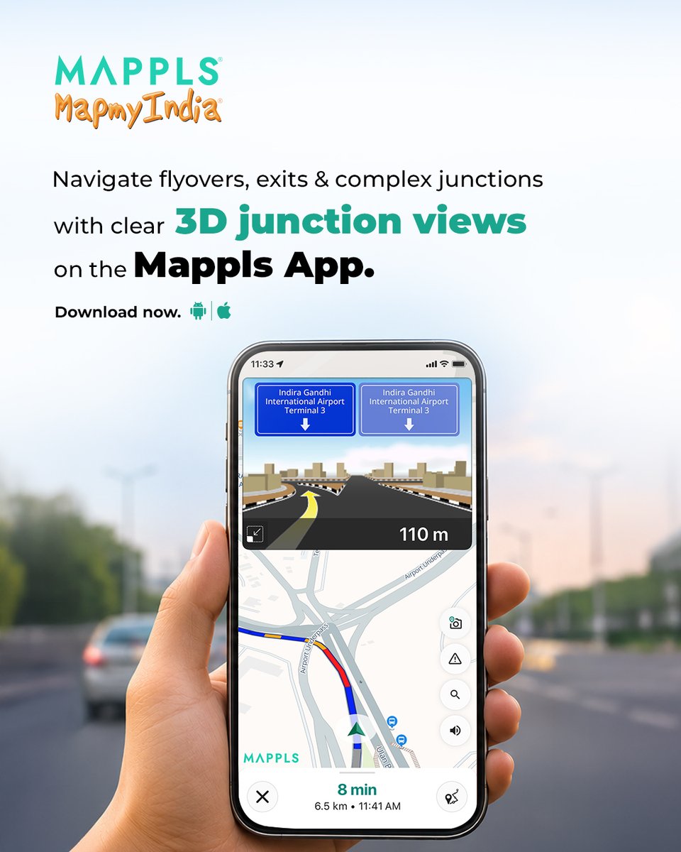
With 3D Junction View on the Mappls App, get a clear visual guide to upcoming flyovers, junctions and exits.
Get clear visual guidance through complex junctions, flyovers and exits, helping you take the right turn with confidence.
Make your airport journey easier with clearer navigation.
Download the Mappls App: https://t.co/taUFHhIDAV
Join Mappls Community on Arattai: https://t.co/LtLQVEEorZ
@rakeshverma1950 | @RashmiNext | @_rohanverma
Being aware of your surroundings is an important part of safe travel.
To support this, Mappls App, in collaboration with Gujarat Traffic Police, provides Unsafe Area Alerts to help commuters stay aware of locations that may require additional caution.
Receive alerts as you approach areas flagged as unsafe, allowing you to exercise caution, remain aware of potential risks and make informed travel decisions.
Download the Mappls App: https://t.co/taUFHhIDAV
Join Mappls on Arattai: https://t.co/Wyzdycs5Wb
@rakeshverma1950 | @RashmiNext | @_rohanverma
#mapmyindia #mappls #mapplsapp #gujarattrafficpolice #roadsafety #gujarat #unsafeareaalerts
Got your winter road trip planned?
Now, get your travel budget sorted too!
With Trip Cost Estimation on the Mappls App, estimate fuel expenses and toll charges for your journey.
Choose your mode of travel and get a clearer picture of your trip costs before you hit the road.
Plan your expenses, pick your route and make the most of every mile simply with the Mappls App.
Download the Mappls App: https://t.co/taUFHhIDAV
Join Mappls Community on Arattai: https://t.co/oTuBA14PTt
@rakeshverma1950 | @RashmiNext | @_rohanverma
@KshitijVar56284 To access 3D landmark feature, search for any place on the Mappls App and tap on the Immersive View button as highlighted on the image given below on the place details page. You’ll then be able to explore the place through this view.
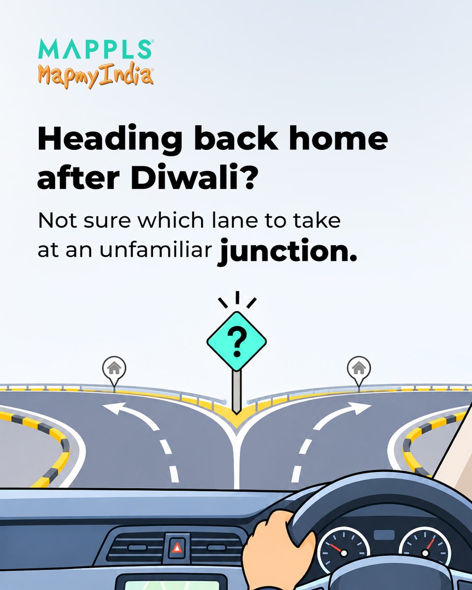
Diwali’s over, and the family group chat is still buzzing with photos. On the drive back, you reach a fork in the road. The sign says keep left, but does that mean take the flyover or stay beside it?
3D Junction View on the Mappls App gives you a preview of how the lanes split, so you know where to go before you reach the junction.
Download the Mappls App: https://t.co/taUFHhIDAV
@rakeshverma1950 | @RashmiNext | @_rohanverma
#Mappls #MapplsApp #3DJunctionView #LaneGuidance #DiwaliTravel #DriveHome
@ultimatechandan All satellite imagery on Mappls app is sourced from the Government of India. We are continuously working to enhance the overall experience and improve our services. We appreciate your feedback.
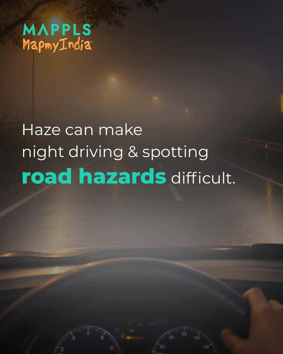
Hazy conditions can reduce visibility on the road, making it harder to spot potential hazards, especially while driving at night.
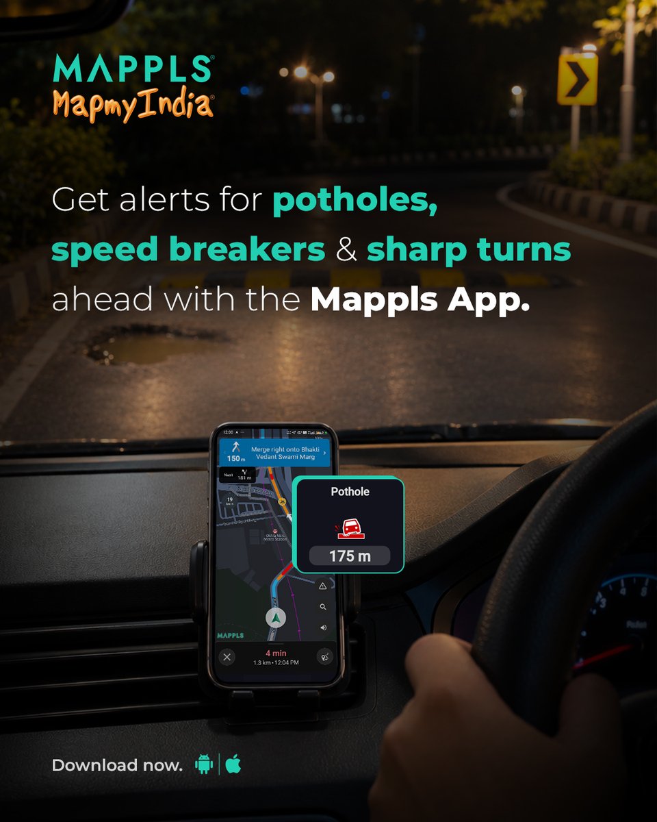
Potholes, speed breakers and sharp turns may be difficult to identify from a distance, making it important for drivers to stay alert and anticipate road conditions.
With Safety Alerts on the Mappls App, get timely alerts about potential road hazards along your route, helping you stay informed about what lies ahead.
Stay alert, drive cautiously and navigate with greater awareness.
Download the Mappls App today - https://t.co/ZjkA9NxSlW
@rakeshverma1950 | @RashmiNext | @_rohanverma
“You’ll be under surveillance” on several roads, with speed cameras monitoring vehicles to ensure compliance with speed limits.
Knowing where these cameras are located can help you stay mindful of your speed.
The Mappls App keeps you informed with speed camera alerts along your route.
Stay aware, follow speed limits and drive responsibly.
Download the Mappls App: https://t.co/taUFHhIDAV
Join Mappls Community on Arattai: https://t.co/LtLQVEEorZ
@rakeshverma1950 | @RashmiNext | @_rohanverma
@vasavitech@Sudeepdas0@kalaivananst We're sorry to hear about your experience. Please share more details about the issues you're facing via DM so our team can look into them.
@vc1201@chinkiys@MapmyIndia Apple Maps continues to be powered by MapmyIndia base data but it has always used global satellite imagery providers and its own street imagery collection efforts to collect granular data.