We will likely be leaving Twitter soon since the feed we had embedded in our site only displays the feed if you are logged into Twitter. Sad. Logged in vs not logged in screenshots. We can't have a blank spot on our main page.
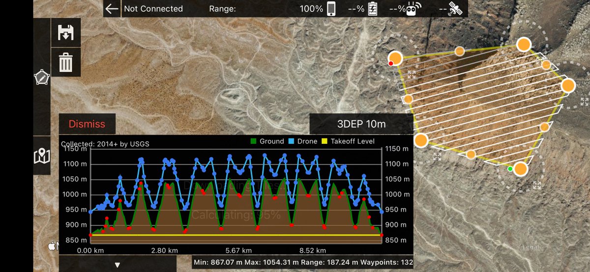
Map Pilot Pro 5.5.0 has been released with new high resolution terrain data sources from Copernicus, ASTER, 3DEP and others. Worldwide coverage. 10 meter per pixel data is available throughout the US. Having multiple sources ensures data availability at your site.
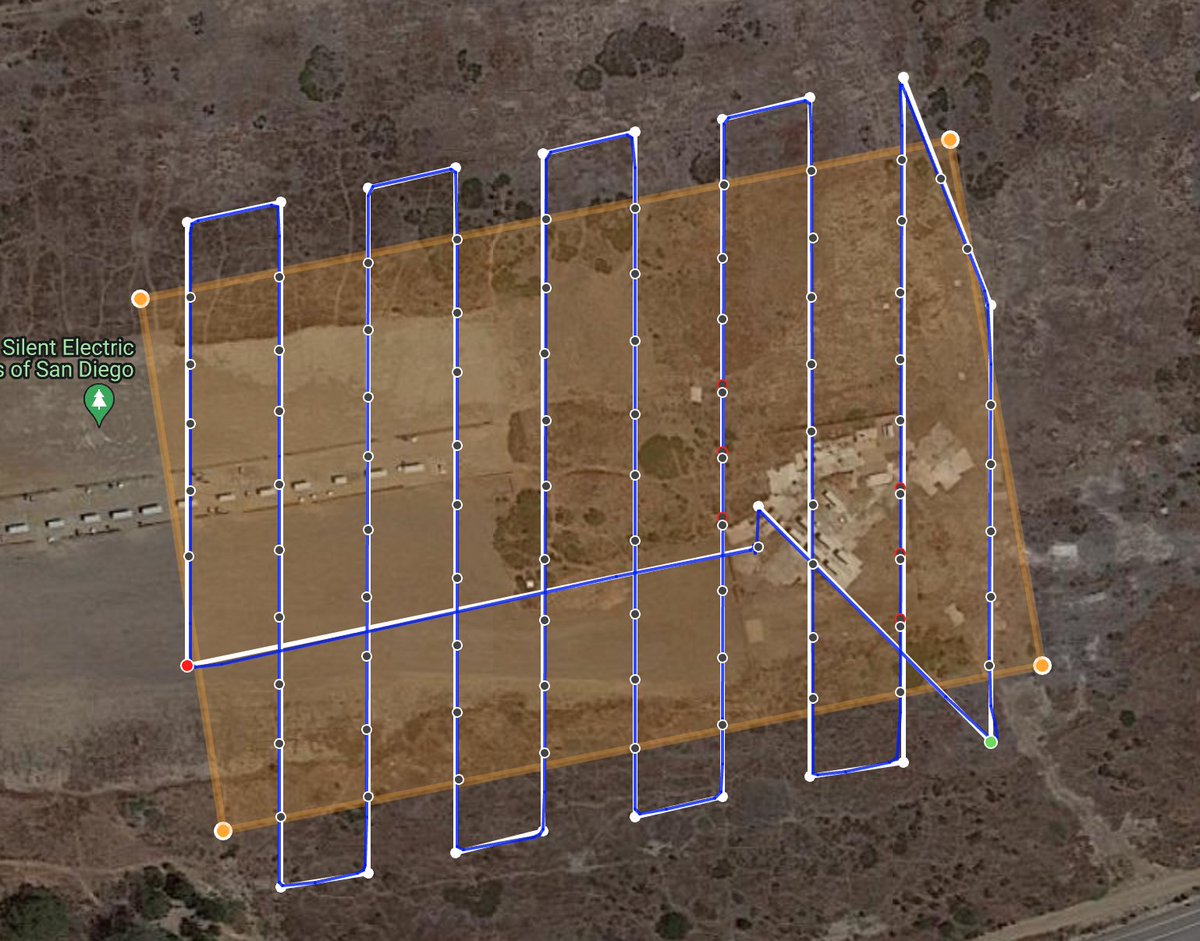
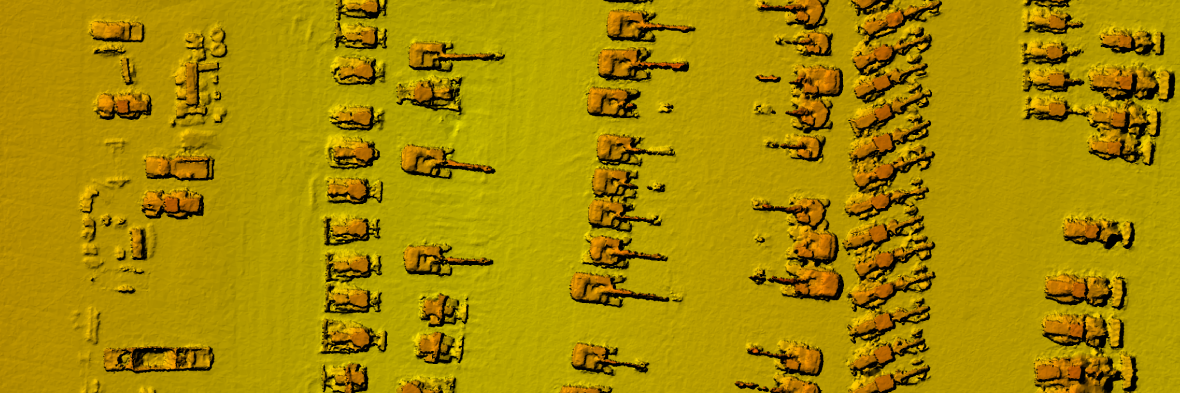
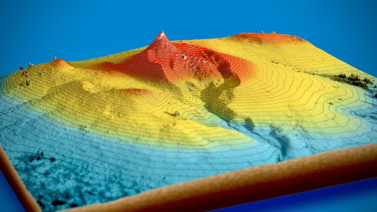
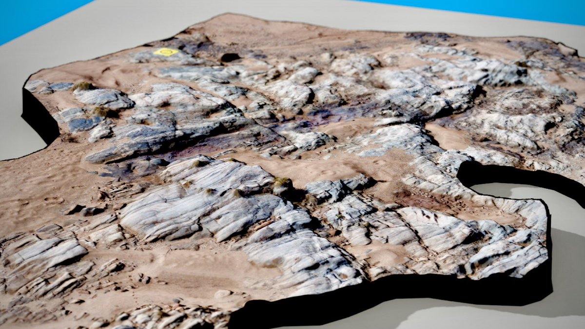
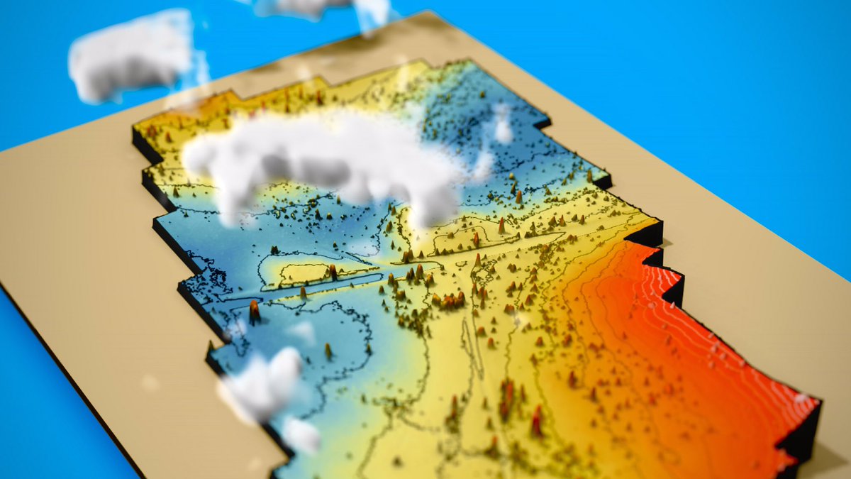
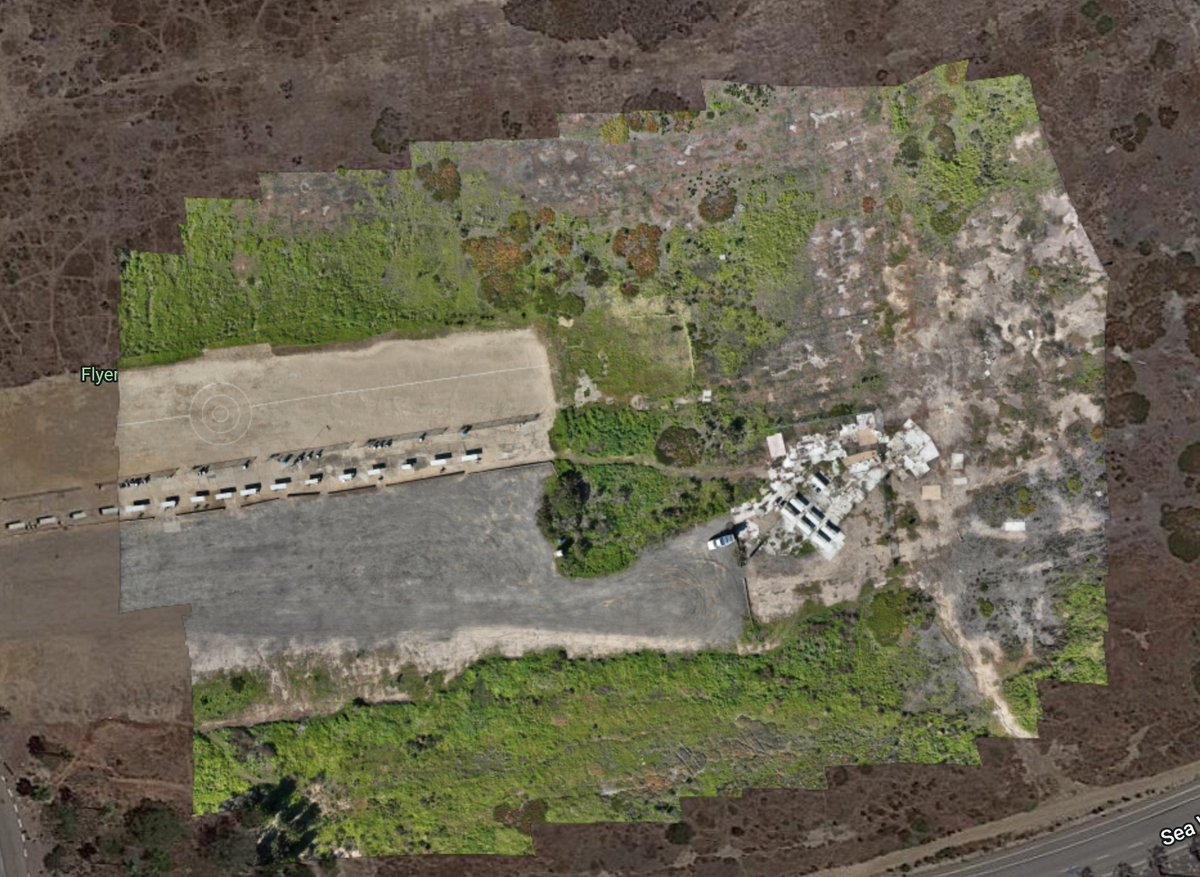
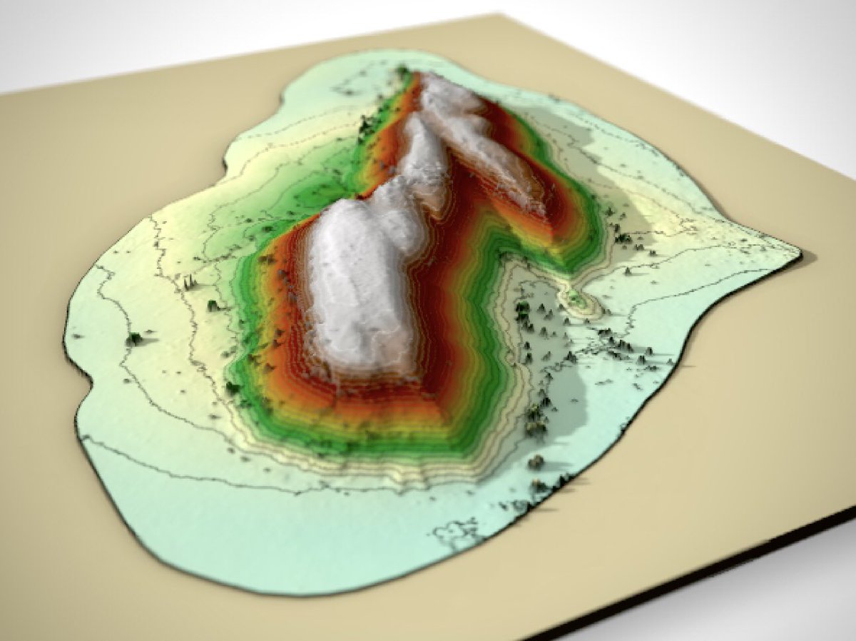
Drone survey from central Australia. Data collected by @RockDrCait with a DJI Mavic Air 2. Photogrammetry by @MapsMadeEasy. GIS with #QGIS. Rendered with the #rayshader package in #rstats
Support for the @DJIGlobal Mini 3 and Mini 3 Pro have been added to Map Pilot Pro. Look for the Enterprise variant of the app on our installation page: https://t.co/Aq5LgmV1R5
@welshman001@DroneDeploy We have released support for the N1 and RC Pro remotes to support the Mini 3 and the Mini 3 Pro. Look for version 1.4.1 on our site.
Map Pilot Pro for Android is finally available in the Google Play Store! 15 Day Pro Trial for new users. https://t.co/1fXhCs3cJh @DJIGlobal@DJIEnterprise#drones#mapping
@dallalana91 You have to opt to create the .las file in Step 2 of the uploader process. Then it will be available for download after the job is done processing.
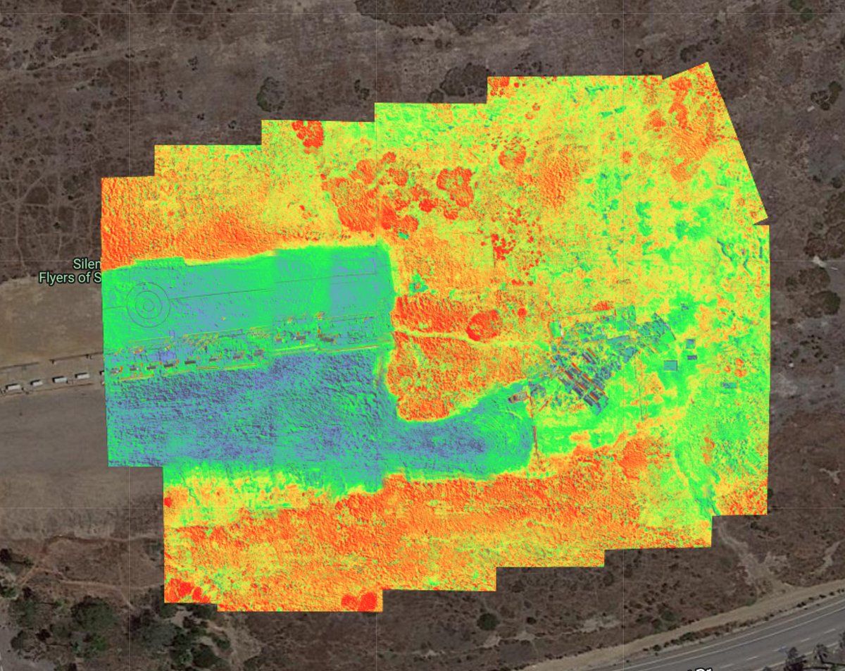
Map Pilot Pro support for the #Mavic 3 #Multispectral on the RC Pro Enterprise remote is up and running nicely. This was by far the easiest NDVI map we have ever created and we have been doing this a while. Nice work on the #M3M@DJIEnterprise. View here: https://t.co/2yH1KdKycb
Drone survey from central Australia consisting of 349 photos from a DJI Mavic Air 2. Digital elevation model and stitched image created with @MapsMadeEasy. Topographic contours made with QGIS. Flyover created with the rayshader package in Rstats
Map Pilot Pro is looking pretty good on the @DJIEnterprise Mavic 3 Enterprise. Almost ready for full public release. Read more and download APKs: https://t.co/0lFeW6RuEz