This is the official MarionAreaSPC twitter account! I am a furry weather geek! I rarely talk politics. Follow @nc_ohio for weather updates! Also WKHB WILL POST
A CIVL AUTHORDY HAS ISSUED A MARINE WARNING... MESSAGE FROM WKHB/CAP.
The National Weather Service in Miami has issued a
* Special Marine Warning for the following countys/areas.
Biscayne Bay...
Coastal waters from Deerfield Beach to Ocean Reef FL out 20 NM...
Waters from Deerfield Beach to Ocean Reef FL from 20 to 60 NM
excluding the territorial waters of Bahamas...
* Until 1100 AM EDT.
* At 1010 AM EDT, strong thunderstorms were located along a line
extending from Soldier Key to 8 nm northeast of Triumph Reef,
Special Marine Warning including the Waters from Deerfield Beach to Ocean Reef FL from 20 to 60 NM excluding the territorial waters of Bahamas, Coastal waters from Deerfield Beach to Ocean Reef FL out 20 NM and Biscayne Bay until 11:00 AM EDT
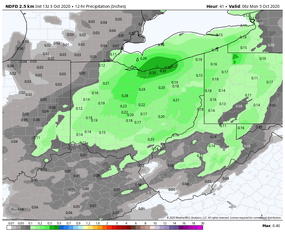
Looking at some of the computer models, we are looking at the potential for some rain as we go into Sunday. Rain is not expected to be widespread but some areas may pick up some light amounts between 0.25"-0.50" This precipitation is associated with a cold front. #ohwx
Marine Weather Statement: Marine Weather Statement: The Special Marine Warning Is Cancelled A Special Marine Warning Remains in Effect until 1015 AM EDT. https://t.co/km3zeZz1MH #flwx
A CIVIL AUTHORDY HAS UPDATED A FLOOD WARNING. MESSAGE FROM WKHB/CAP...
...The Flood Warning continues for the following countys/areas...
Peace River At Bartow affecting Polk County.
Peace River At Arcadia at SR 70 affecting DeSoto County.
.Moderate to heavy rainfall