🚨 WE'RE LEVELING UP 📡📡📡
Mobile radars are critical to getting hi-resolution scans of the lowest levels of storms; where 🌪️ tornadoes form and damage occurs. This new fleet unleashes opportunities for more and better data.
THE SCIENCE : https://t.co/MilZyBlPvE
MiniCOW packs MegaPOWER! Observes birth and ingestion of satellite tornado
and Fujiwara effect deflecting tornado. Tornado transitions 2x between clear eye and debris ball. Prelim data from most powerful mobile radar, 1 MegaWatt C-band storm-penetrating miniCOW in Braman, OK 🌪️
The La Nina will soon be over, being replaced by the first El Nino in over 2 years! This shakeup could give us an increase in severe weather as the Pacific becomes more unsettled! #hailtrace#elnino#superelnino#weather#laniña
We've broken 1000 hail reports for the 2026 hail season! Illinois saw over a 10th of all reports and even broke its state record this year! Where do you think the reports will end a this year? Think any other states could break their record?
#recordhail#hailtrace#severehail #illinoishail
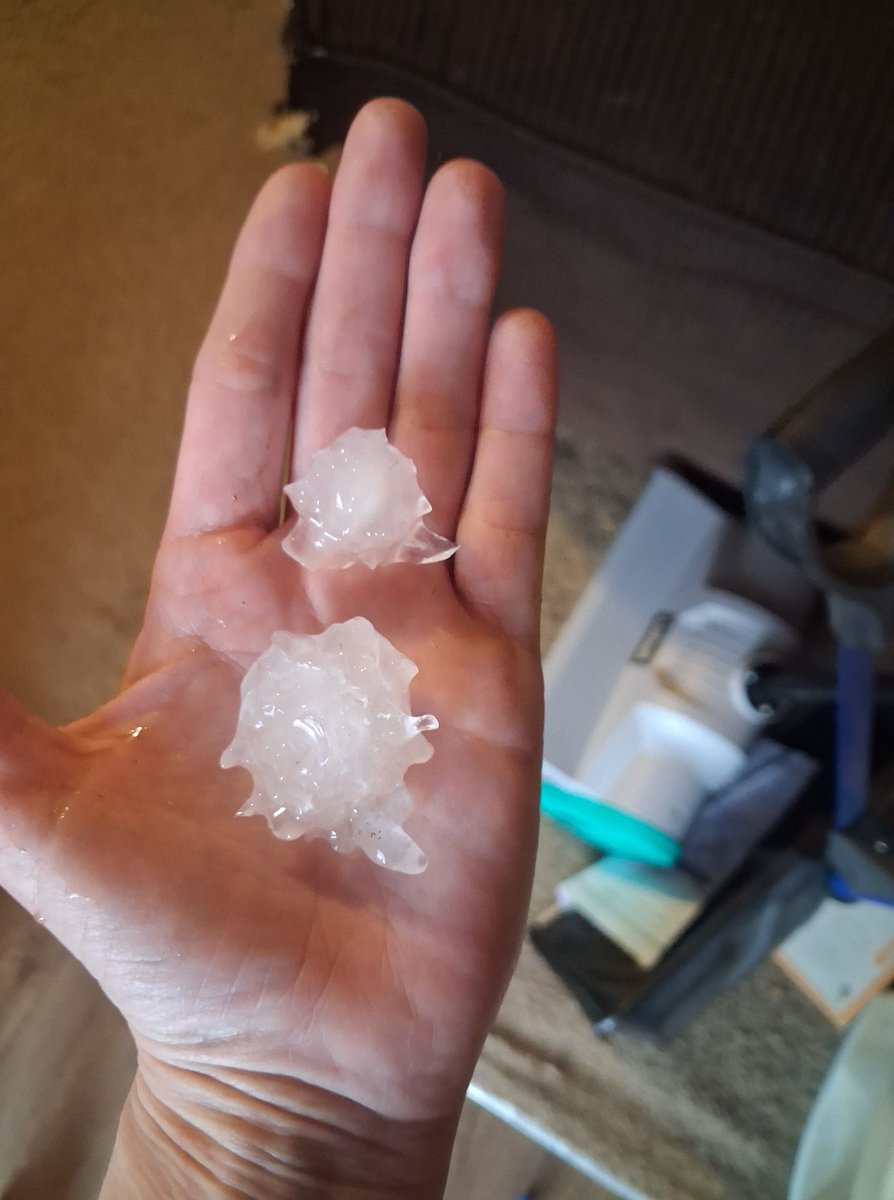
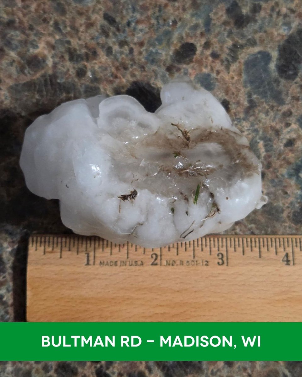
⭐️⭐️⭐️⭐️⭐️ 5-STAR STORM — Madison, WI
📍 Madison / Middleton / Watertown, WI | April 14, 2026
🌨️ Largest Hail: 3.25"
🏠 33,000+ structures hit at 2"+ | 67,000+ at 1"+
Hail fell for over 15 minutes straight in some areas tonight. One of the biggest storms of the season.
Contractors — this market is wide open right now.
👉 See the full map: https://t.co/Uqr4dUjcVC
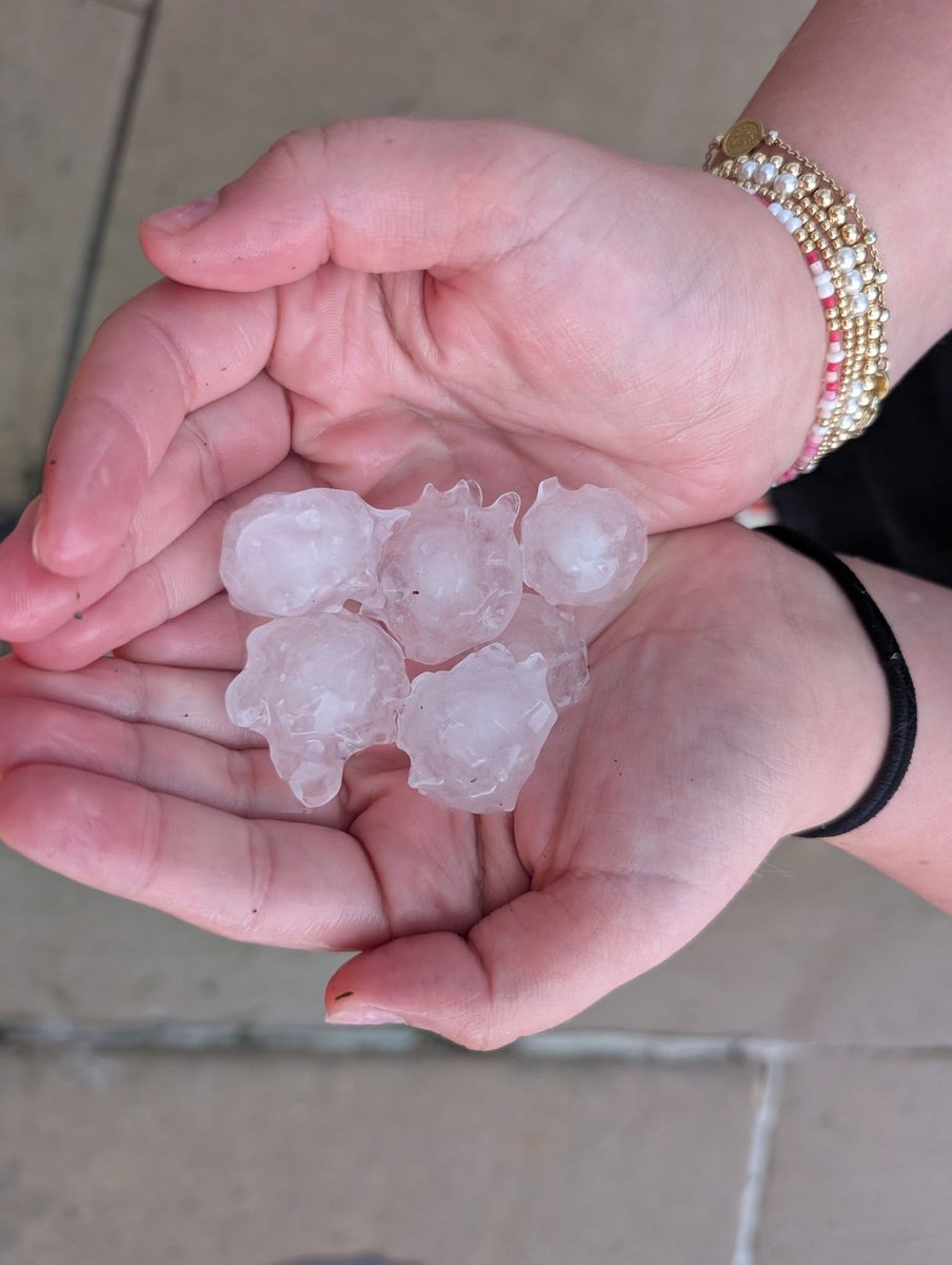
⭐️⭐️⭐️⭐️ 4-STAR STORM — Eastern Iowa
📍 Waterloo / Marion / Iowa City, IA | April 14, 2026
🌨️ Largest Hail: 2.50" (Waterloo)
🏠 120,000+ structures hit (1"+)
Tennis ball hail in Waterloo. Cedar Rapids. Iowa City. All in one afternoon.
Ottawa KS yesterday. Madison WI tonight.
👉 See the full map: https://t.co/Uqr4dUjcVC
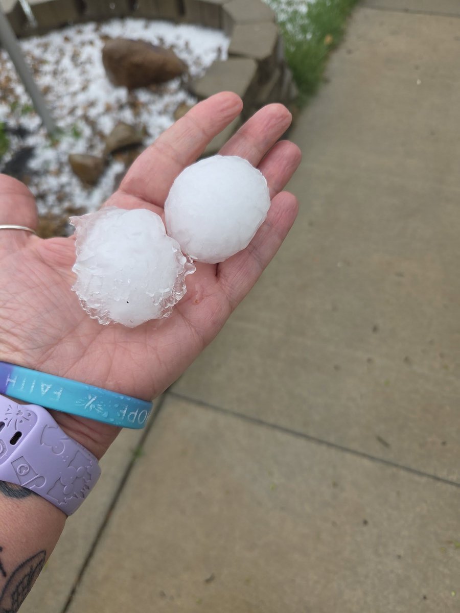
⭐️⭐️⭐️ 3-STAR STORM — Marion, IN
🌨️ Largest Hail: 2.00"
🏠 24,000+ structures hit (1"+)
📍 Marion / Galveston, IN | April 14, 2026
A powerful storm raced across central Indiana today. Marion took the hardest hit in the state.
Ottawa KS yesterday. Eastern Iowa this afternoon. Madison WI tonight. Now Indiana.
👉 See the full map: https://t.co/Uqr4dUjcVC
Storms in the Plains every day? HailTrace Meteorologist @MartinLoWx broke down why the threats in these next storms are higher and why they just won't be leaving any time soon. #hailtrace#okwx#kswx#newx#txwx
https://t.co/HTaFoFZL5n
Significant severe weather is expected from Saturday to Tuesday, but what is making this system in particular so threatening? HailTrace Meteorologist @MartinLoWx has all the answers. #okwx#kswx#txwx#hailforecast
https://t.co/ktJWnAMmf7
Tornadoes, hail, and strong wind are all possible today, but what are the limiting factors that could inhibit these events from happening? Meteorologist Martin Lowrimore discusses why today’s storms are rather conditional.
#hailtrace#storms#tornado#oklahomastorms#kansasstorms
https://t.co/6ptEDi2Sd5
HAIL POSSIBLE IN MIDWEST AGAIN: Storms Could Bring Large Hail Today
Up to golf ball-sized hail is possible in areas of Iowa, Wisconsin, Illinois and Missouri with the initial storm development this afternoon before storms file up into a line this evening.
Check out the full forecast to get all the info!
https://t.co/uHBR9yaEbb
https://t.co/xbJpgtF9WB
https://t.co/F9gBYDEUaA