The November Eos satellite constellation status is here! 🛰🍂 Discover the current count of satellites in the autumn sky, ready for your #GIS projects.
Want more technical updates on all things #GNSS? Subscribe to the Eos newsletter! https://t.co/tKxJWkyRUI #GPS
Tues, Nov 14:
We're teaming up with @ArcGISSurvey123 to co-host a #webinar that will cover the how to's & share the benefits that our integrated technologies bring to your @ArcGISApps #geospatial, #mapping, & #datacollection toolkits.
Register for free: https://t.co/tac23UR0GT
Thank you, @GPSWorld, for hosting yesterday's informative #GalileoHAS webinar! We loved discussing this exciting new service with you all. 🛰
Learn more about Galileo HAS with the link: https://t.co/X81fVKsFvM #GNSS#GIS#GPSWorld
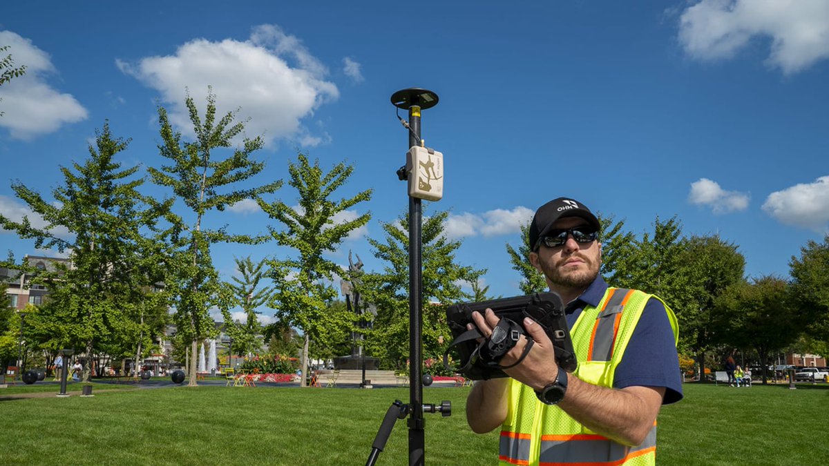
On Maui, for post-Lahaina fire recovery, Hawaii's Dept. of Health Safe Drinking Water Branch draws water samples at hydrant sites to check for distribution main impact. Geologist Anay Shende GPS's hydrant sites to ensure proper spatial sampling.
#MauiRecovery#WaterSampling
Thanks to everyone who came out to the #GIS and #GNSS mapping workshop today with your great questions, good humor, and enthusiasm! See you next time, @NRWA crew!
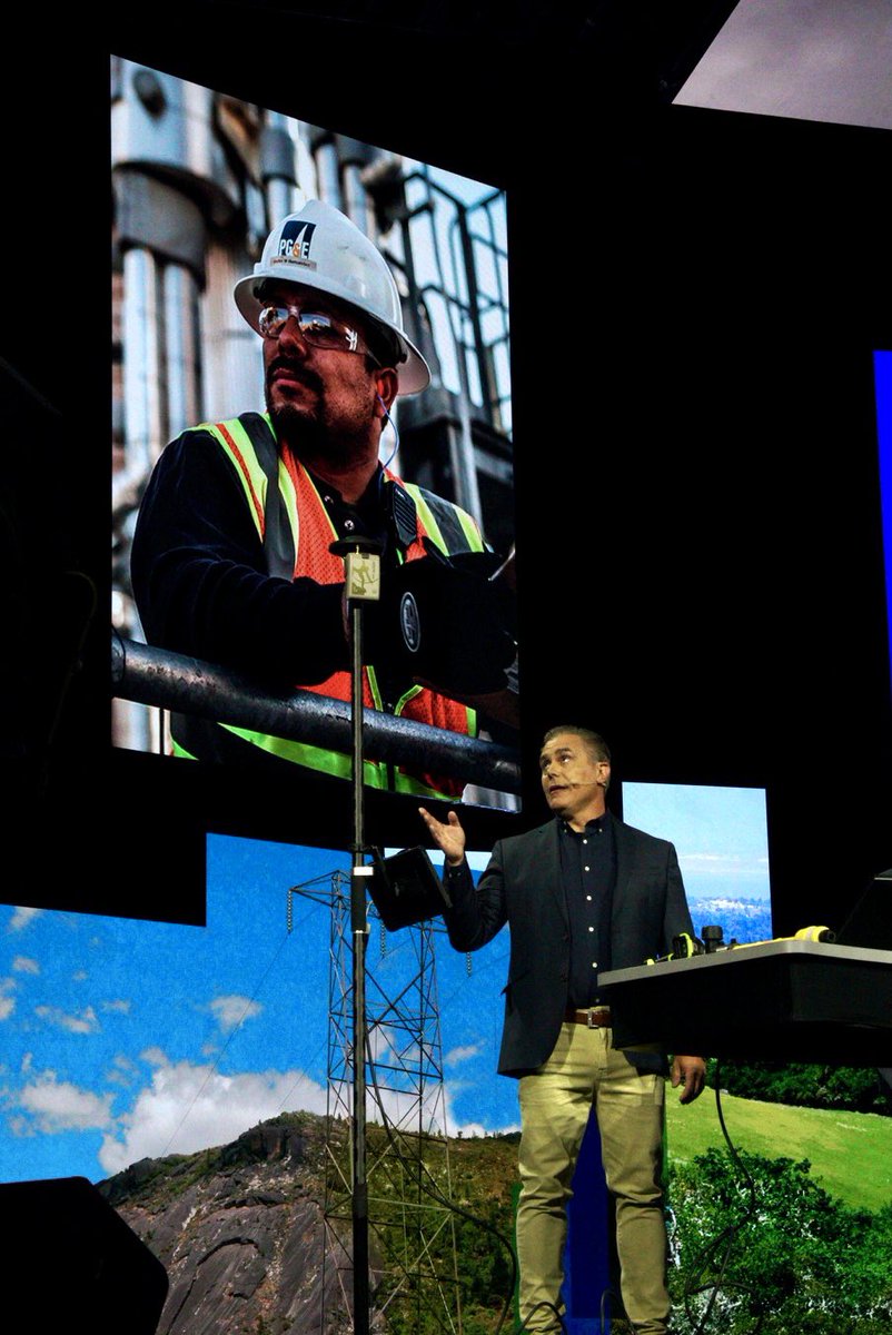
Eos Arrow Gold takes center stage with an amazing #EsriUC2023 demo! Congratulations to our customer PG&E for what they have achieved in managing one of the nation’s largest and oldest utilities with high-accuracy #GIS!
@EsriUC@PGE4Me#GPS#GNSS#EsriUC
📽️ #Esri#ArcGIS#Survey123 user's TruPulse rangefinder records multiple asset height measurements from a convenient location
Can this or a similar workflow save you time?
Tell us about it & you might win a TruPulse rangefinder: https://t.co/QuY7oiDzru
#GIS#GNSS#Geospatial
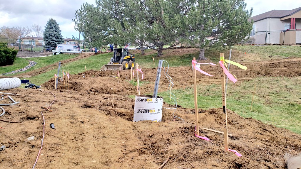
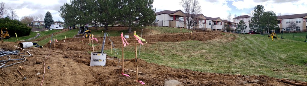
Do you have a great use case for high-accuracy #GNSS? Whether you’re mapping archaeological artifacts, capturing new pipe construction, or moving your utility from paper to digital, we want to hear from you!
Share your successes with our online web form: https://t.co/OYUOkFalg0