Earth is flat?! 👾
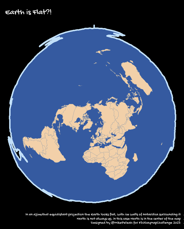
For Day 22 of #30DayMapChallenge "North is not always up" I plotted Earth in an azimuthal equidistant projection. In this case North is in the center of the map. Bonus: the Earth looks flat, with ice walls of Antarctica surrounding the World Ocean.
#rstats
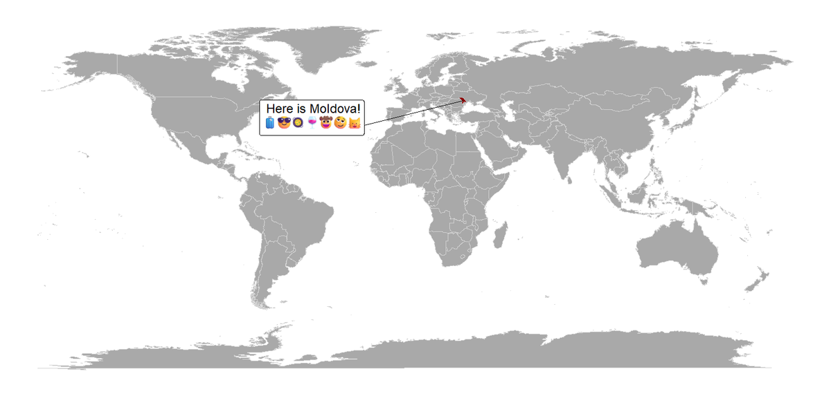
Where is #Moldova? Here is Moldova! For Day 19 5-minute map #30DayMapChallenge I replicated a cartoon explaining where is my home Moldova--a small country with a big heart 💖 #rstat
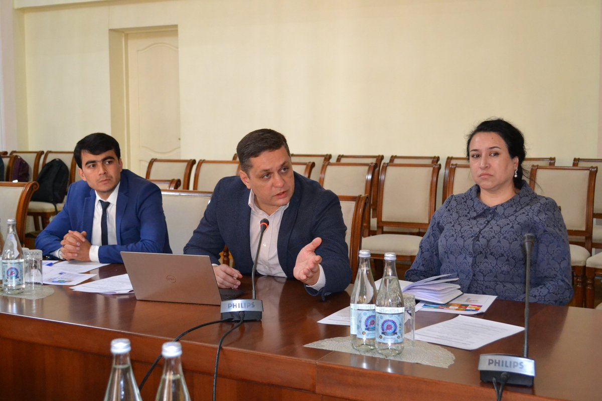
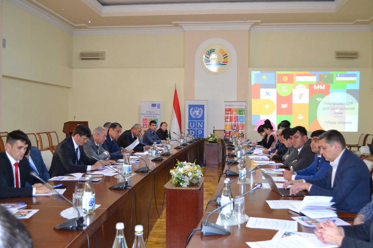
Data matters: Advancing #SDGs in Central Asia
#Tajikistan's Nat'l Dev't Council wrapped up a 2-day workshop on enhancing SDG data collection & management. Updated SDG platform will offer a richer, more comprehensive picture of the region's progress.
🇹🇯🤝@EUinTajikistan@UNDP
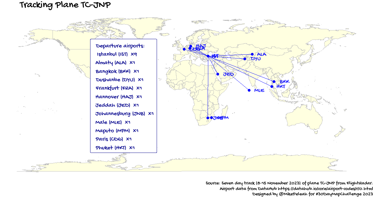
For the Day 17 Flow #30DayMapChallenge I tracked a ✈ plane TC-JNP, which I took recently. In 7 days it visted 12 airports in Europe, Africa, and Asia #rstats
Şile, Bakırköy, Maltepe, Adalar, and Üsküdar are Top-5 districts in #Istanbul by Pet Ownership Rate. #30DayMapChallenge Day 9 Hexagons based on a great dataset from Istanbul Metropolitan Municipality @istanbulbld Open Data Portal https://t.co/npO1pBbZxc
Maps are great for navigation...in sounds. Here is a dance of 🇲🇩🇷🇴 vowels only tongue twister "oaia aia e a oaiei ei". The vowels vary systematically in F1 and F2 "formant" frequencies, dancing on this map
Day 7 Navigation #30DayMapChallenge
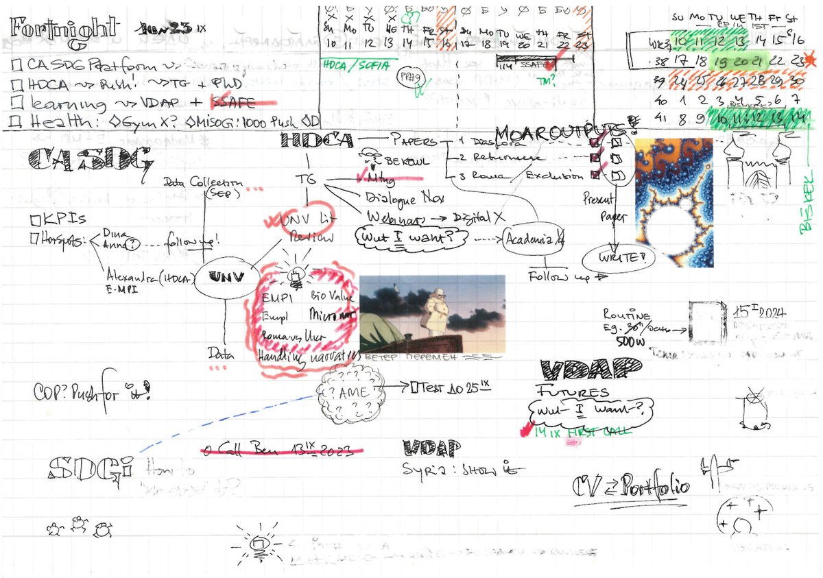
Who said that maps should be geographical only?! Here is my Fortnight Plan Map for Day 5 #30DayMapChallenge Analog Maps. Techs used Pilot V5 and a lovely fountain pen 🖋 from #Florence
Day 4: Bad map happens... Snow Leopard is an amazing animal, but the map turned out more variegated that I wanted #30DayMapChallenge. Still could read a great piece "On the trail of the snow leopard" https://t.co/ZusDT8RoFS
#qgis
Day 3: Polygons #30DayMapChallenge
Fascinating expansion of Roman Empire between 60BC and 200AD and burst roads construction viz with Project MERCURY dataset https://t.co/LXlFiX891i using #rstats
Day 2 #30DayMapChallenge, Coastline Paradox illustrated by Portugal-Spain and Iraq-Syria #fractal borders
Map shapefiles from GADM https://t.co/bxNv2XP2OV, tech used #Python + #matplotlib
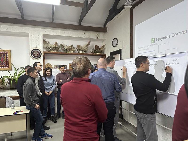
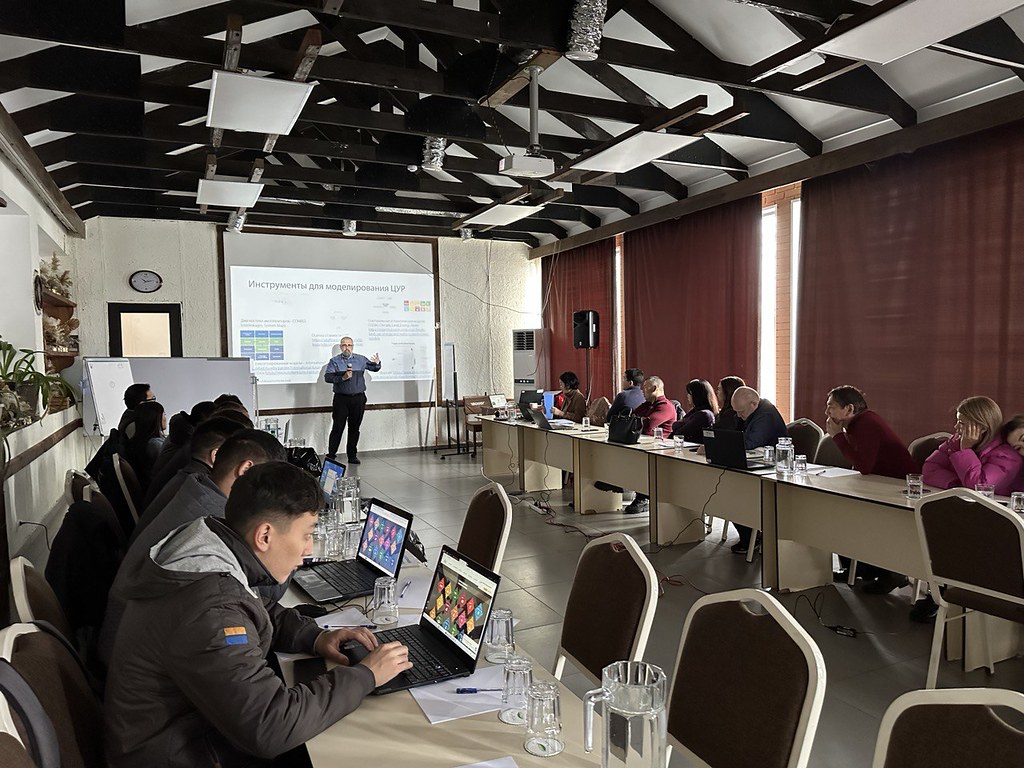
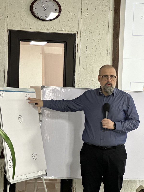
Kyrgyzstan is actively pursuing the #SDGs, integrating them into their dev. strategy & budget planning. Participants include reps from the President's Office of the KR🇰🇬, the Institute of Economic Policy Research under the Cabinet of Ministers, & @undpkg, totalling 25 attendees.
That’s how I accept positive feedback with grace. Why do we feel the need to downplay compliments? It's like we're afraid of being seen as too good at something. Let's embrace our strengths and accept the praise that comes with them #fridayfunfeed https://t.co/LfhoMtsSDh