One of the biggest slowdowns in #FieldPrograms is the gap between #geological#DataCollection and #interpretation. With #HiveMap, you can enjoy:✅ Near real-time data transfer ✅ Reduced manual handling ✅ Faster updates to geological models.👉Learn more: https://t.co/URYGpUWSQj
We just wrapped up #Simexmin2026 in Ouro Preto, #Brazil—a few days filled with great conversations, reconnecting with long-time friends, and meeting new people across the Brazilian #MineralExploration community. Thank you to everyone who connected with us during the #conference!
#Drilling moves fast. #Interpretation must keep up. With #GeoscienceANALYST#Pro drillholes can be planned and monitored directly in 3D, with datasets visualized and interpreted alongside the rest of your project data. So targeting decisions can evolve with the data—not after it.
Field mapping remains one of the most critical—yet often disconnected—parts of the geological workflow. #HiveMap brings mapping directly into the field on tablet devices, enabling geologists to work within a true 3D environment.👉Get in touch to know more: https://t.co/UDnlM434z4
What a remarkable week! Two incredible #conferences, two vibrant cities, and countless valuable conversations: #CIMConnect in Vancouver and #ProExplo2026 in Lima. #ThankYou to the organizers for hosting such outstanding events, and to everyone who took the time to engage with us!
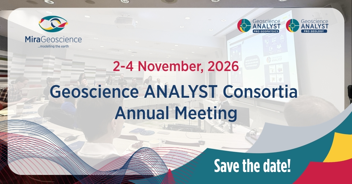
Working with Geoscience ANALYST Pro Geophysics and/or Pro Geology? If so, you're a valued member of our industry consortia. Join our 2026 Annual Meeting on Nov 2–4, held in person in Vancouver (virtual attendance available) 📅 Save the date! Formal invitations coming in Aug/Sep.
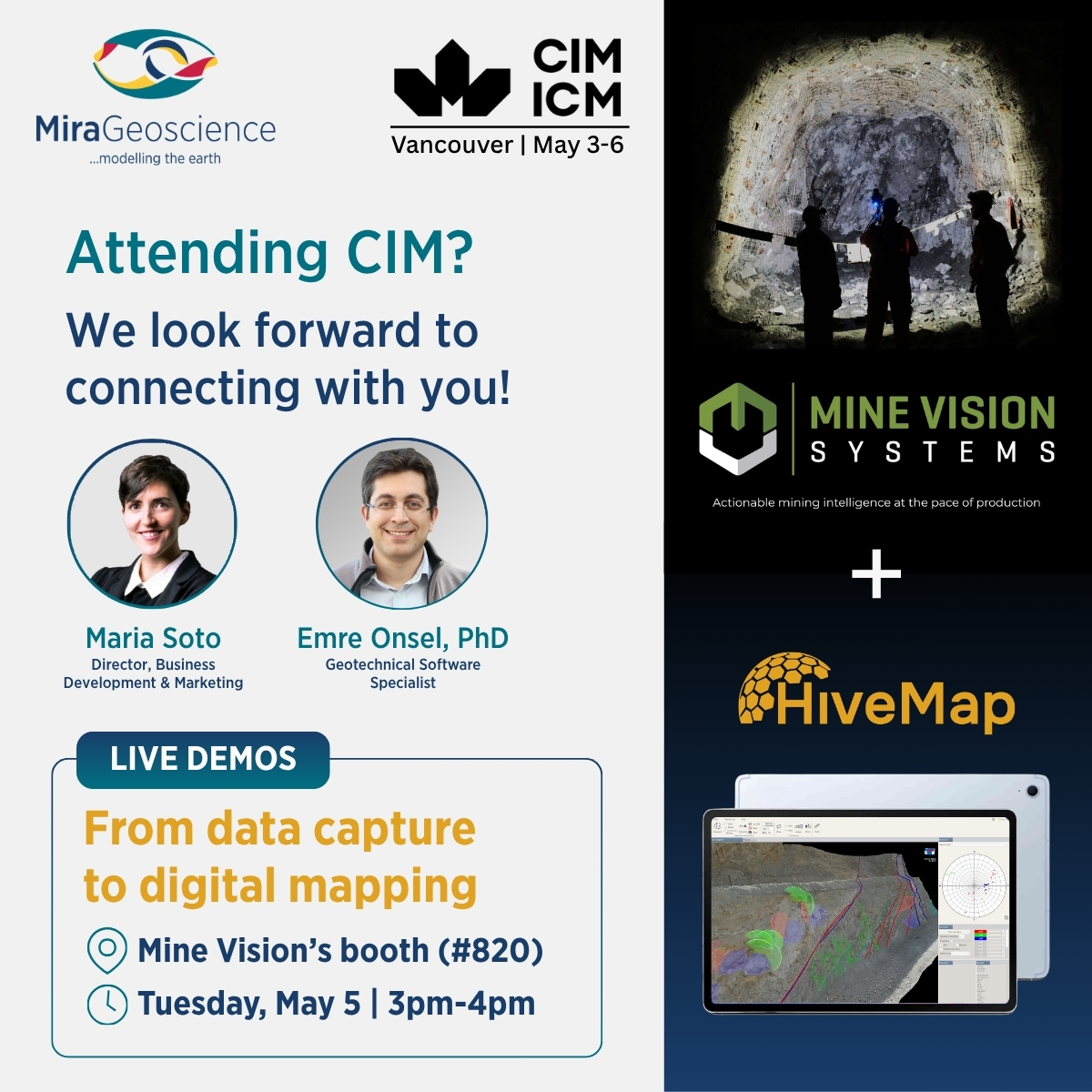
Excited to be at #CIM2026 next week and partnering with Mine Vision—a leader in rapidly captured 3D face mapping technology—to showcase a seamless workflow from data capture to digital mapping on mobile devices such as tablets & iPads, enabling true 3D field mapping in real time.
At Goliath Resources’ Surebet Shear Zone in northern BC, steep cliffs and extreme terrain make traditional #structural#mapping impossible. The solution? Combining #fieldwork, drone #photogrammetry, and digital mapping with #HiveMap.
👉Read case study: https://t.co/Ehw4r9gzf7
📢 Exciting news: we are attending two #conferences in Latin America next month!
Yury Abreu—Business Development Manager, Latin America—will be at #ProExplo2026 on May 4-6 in Lima, Peru, and Fabiano Della Justina—Consultant—will be at #Simexmin on May 17-20 in Ouro Petro, Brazil.
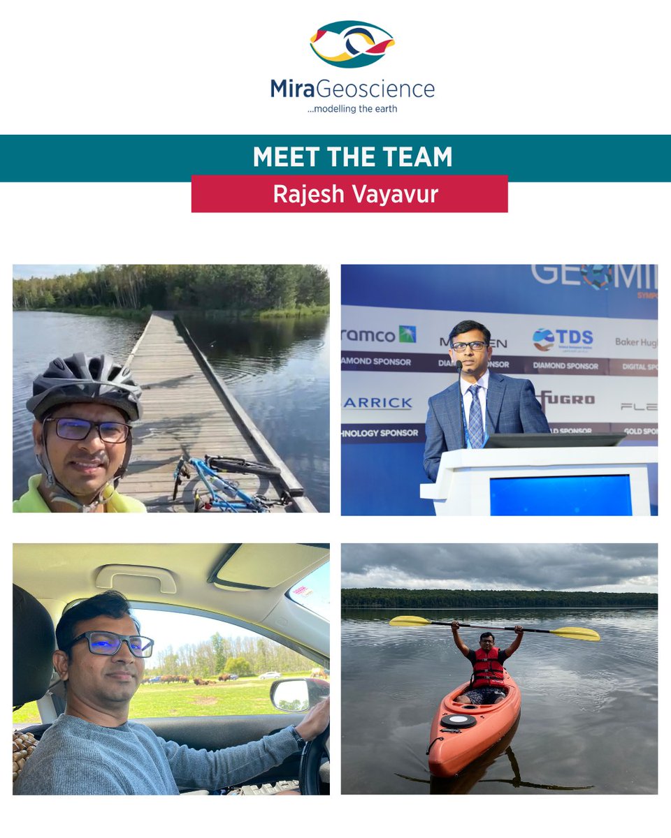
#MeetTheTeam: Rajesh Vayavur, PhD—Geophysical Software Specialist—brings extensive experience in integrated subsurface modelling. His passion for Earth sciences began early, inspired by his father’s work in the coal mining industry. Fun fact: he's very competitive at ping-pong.
#DidYouKnow💡:
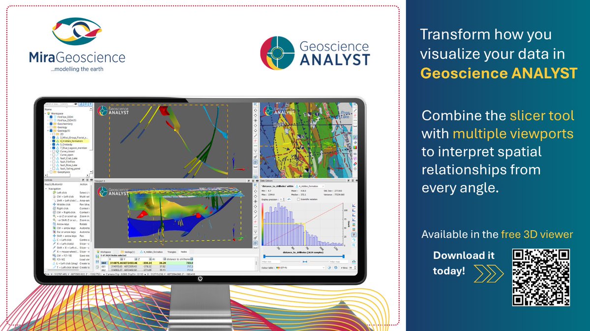
#GeoscienceANALYST offers powerful visualization tools—multi-viewports, a slicer, and dynamic panels—all in one workspace and available for free in the 3D viewer. Boost your interpretation confidence!
👉 Download it today: https://t.co/asuJJlPRz5
Missed our last webinar? Watch it now on YouTube!
Marko Gauk shows how #GeoscienceINTEGRATOR + #GeoscienceANALYST enable faster, connected exploration workflows—turning complex geoscience data into confident decisions.
👉 Access the recording: https://t.co/xxjIu6VR5u
Discover Parametric, an ellipsoid-based TEM modelling and inversion add-on for #GeoscienceANALYST Pro Geophysics, because not all conductive targets are flat plates! It helps quickly evaluate complex 3D targets and support drilling decisions.
👉Read more: https://t.co/iNY8Pm7uvc
We now offer DUG Insight as a reseller! A seismic interpretation & visualization platform by @Team_DUG. It combines tools, AI/ML, and 2D/3D visualization in one environment, which will be interoperable with #GeoscienceANALYST via GEOH5.
👉 Learn more: https://t.co/VRHoLXHYrr