Modern Home Builder is the must-read resource for industry professionals in the reemerging homebuilding marketplace. A Knighthouse publishing publication.
High quality #maps bring imagination to life, and inspire you to exceed expectations in ways even best satellite images fail to accomplish! Check out @Nearmap -> https://t.co/ij1ob9xtFQ
Get better oversight through virtual field visits with updated #imagery, and fewer surprises from a more thorough knowledge of current ground conditions with @Nearmap! https://t.co/ij1ob9P4xo
Get a clear view of the surroundings. Plan heavy vehicle access points and routes for minimal impact while assuring a steady, scheduled supply of #construction material with @Nearmap! https://t.co/ij1ob9P4xo
Land development site location has never been easier. @Nearmap captures high-res #aerialphotos of major US metros multiple times per year and streams current imagery to the cloud within days! https://t.co/ij1ob9xtFQ #landscapers
Hey #RealEstate friends! With @Nearmap, you get both: high definition orthography and incredibly clear oblique views from every direction! https://t.co/G6Ojx1IqlR #aerialimagery
How close are neighboring properties, and what are the sight lines? You could use a bird’s eye view map to aid perspective, but you also want to remotely measure acreage and distance to amenities! @Nearmap can help -> https://t.co/RwJUekWI5Y
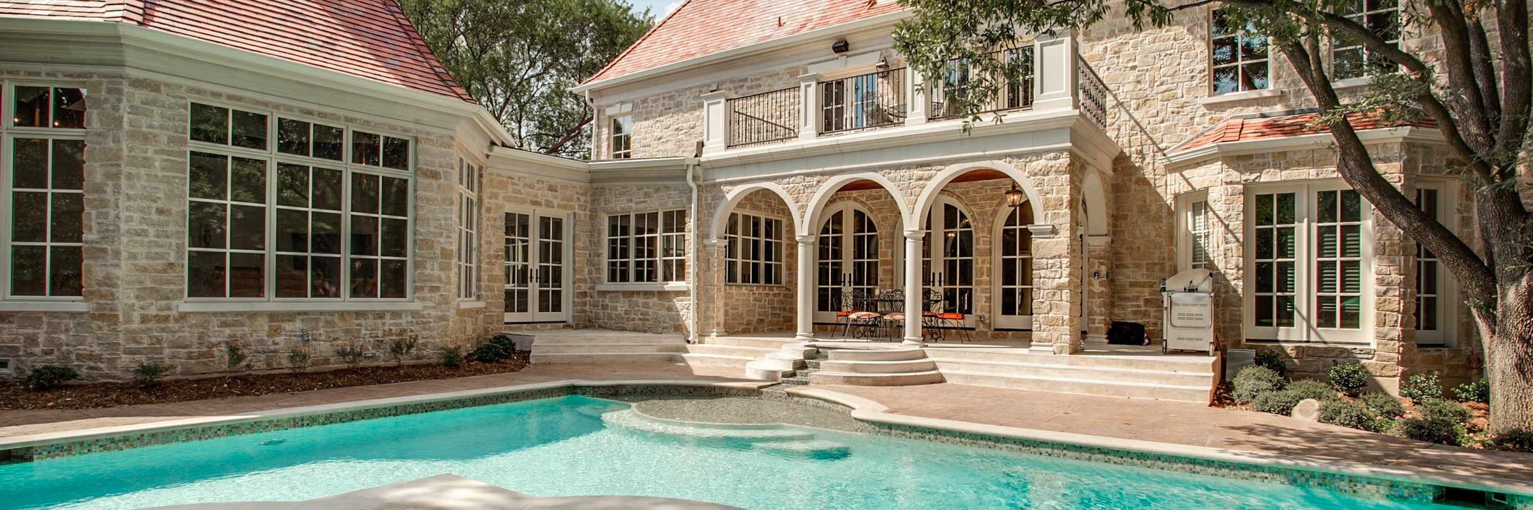
An #aerial view of property with breathtaking detail gives you great visuals that close the sale. Check out our friends at @Nearmap for more info. https://t.co/XMAEyIyKhp. #RealEstate
Hey #landscapers, explore your next project with ease from your desktop or mobile device. @Nearmap's High resolution PhotoMapsTM unlock new opportunities, and transform the way you work! https://t.co/5jqcoRkRR8
Our friends over at @Nearmap can give you instant access to high-resolution, multi-perspective #aerialviews of your next #residential development. Check them out! https://t.co/5jqcoRkRR8
Need a better birds eye view of your home for your next project? @Nearmap can help you gather all the info you need from the comfort of your own desktop! https://t.co/G6Ojx1IqlR #aerialimagery
Use the new Projects tool from @Nearmap to create & save custom site plans and designs directly on high-res imagery — without having to export into an external CAD platform. https://t.co/uQ9SfDtv6h
You want the most current aerial maps of your locations or customers, but you also want the highest resolution possible. Nearmap accomplishes both by capturing urban areas and nearly 70% of the US population, multiple times per year. https://t.co/oZewiaUkCu
Get an ultra-clear bird’s eye view, and precisely measure locations or features – all in three dimensions. View both seamless mosaics and indexed source photography with @Nearmap. https://t.co/oZewiaUkCu
.@Nearmap gives @Momentumsolar an advantage in the ability to see both current and historical images of a property. Learn more -> https://t.co/F7h4wiPaLG #aerialimagery
Before @Nearmap, @Momentumsolar required almost two weeks before technicians could get a quote to a customer. With Nearmap, they cut the average lead time down to two days! Learn more -> https://t.co/F7h4wiPaLG #aerialimagery