🚨#BREAKING: The world's iconic Burj Al Arab hotel in Dubai, widely known as the world’s only seven-star rating hotel, has been hit by an Iranian drone, with footage showing flames rising from the property.
@MayorBowser The DC snow cleanup is a clown show. Yes, the streets are plowed, but I have to somehow hack through 6 foot piles of ice to get my car free from the snow plows work. Why bother plowing if you are going to create more havoc?
BREAKING NEWS: PRINCE GEORGE'S COUNTY SCHOOLS CLOSED ON TUESDAY-THURSDAY THIS WEEK: @pgcps has announced schools are closed from Tuesday, January 27th, 2026-Thursday, January 29th, 2026. All offices are also closed. Meal distribution will open at the following five locations on Wednesday from 11 a.m. to 1 p.m.
Drew-Freeman MS
Fairmont Heights HS
Greenbelt MS
Laurel HS
Surrattsville HS
#newsfromtheconcrete #publicsafety @alanhenney@RSprouseNews@AllisonPapson @killmoenewswire @AllisonPapson
❄️ 🥁Drum roll, our first snowfall map is out — here's what to know
After days of watching the pieces come together, we’re ready to share our first detailed snowfall forecast for this weekend’s storm. And yes… this has the potential to be a big, high-impact event across the region.
Here’s what we’re projecting right now:
• Beltway area: 5 to 10 inches
• Southeast of D.C.: 4 to 8 inches
• Well northwest of the Beltway: 8 to 14 inches, where snow should last longer before mixing
The wild card is sleet.
From the Beltway southward, snow is likely to mix with and change to sleet, and that sleet accumulation could be substantial, creating a thick, heavy, difficult-to-shovel mess.
• This is not a final call
• Expect this to change as we get better information
Finally, just because of the interest, here's the storm timeline (we posted this in earlier as well), also subject to change:
4 to 10 p.m. Saturday: Chance of light snow, developing from southwest to northeast. A coating possible, especially from D.C. south. Temperatures: 16 to 20.
10 p.m. Saturday to 4 a.m. Sunday: Snow increases in coverage and intensity from southwest to northeast. Accumulation begins immediately once snow is steady. Temperatures: 16 to 20.
4 to 10 a.m. Sunday: Snow, heavy at times. Rapid accumulation of up to 1 to 2 inches per hour. Snow may gradually mix with and change to sleet, especially south and east of the Beltway. Temperatures 15 to 20.
10 a.m. to 4 p.m. Sunday: Snow north and west of the Beltway may mix with or change to sleet. Mostly sleet near the Beltway, mixing with snow at times. Mainly sleet south and east of the Beltway, with some freezing rain also possible. Temperatures: 18 to 24.
4 to 10 p.m. Sunday: Mixed precipitation gradually diminishes from southwest to northeast. Temperatures: 20 to 25.
10 p.m. Sunday to 4 a.m. Monday: Lingering areas of mixed precipitation or freezing drizzle possible. Temperatures: 17 to 22.
We’ll be refining this map/timeline and updating often as the storm gets closer.
Link to full briefing in reply.
Rihanna becomes the first Black woman to build two billion-dollar brands—Fenty Beauty and Savage X Fenty—which are now worth over $3 billion combined 👏🏽💰
MASS SHOOTING AT DC CLUB: Power Nightclub, 2300 block of Bladensburg Road NE in Washington DC— five people have been shot; all transported by EMS to hospitals. Unknown if the shooting occurred inside or outside the club. 🚨
Police are searching for a suspect in a gold sedan…
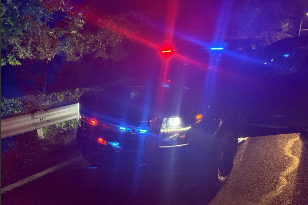
Prince George's County Police officers arrested and charged a suspect in connection with impersonating a police officer. The suspect is 33-year-old Jonathan Michael Davis of Beltsville. READ MORE: https://t.co/iqf1F7RShR