@DevonChurchLand > Also, I wonder if / what resolution & confidence level there is from [coring] samples for climate data at that time - as that'd play into land use / catchment volumes too (along with natural flood mitigation soaks from larger areas of woodland). Sigh ... so many questions 🤔
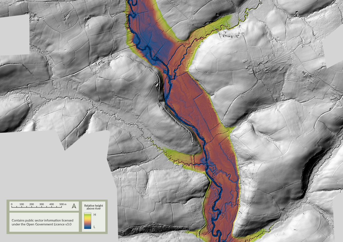
Heading north, following the #Tamar from Bridgetown (Launceston) upto ~N Tamerton as a REM looking for (& not finding substantive) evidence of old river crossings in (mixed-gen) #LiDAR. Bonus Bude canal / mill leat / enclosures / field drainage / river channels tho' 1/n
@DevonChurchLand Yeah, I can see that, why spend time on drainage of riverside meadows if there's no land pressure a few mtrs above the river level. I don't know what's been done on the detail of late IA / early RB farming practices in the SW tho' - so something else to dig into! 2/n >
@Phil_M_Barrett I'm impressed by how much my workstation has managed do thus far, but I'm now out of upgrade options. I'm torn twixt getting a TigerLake ZBook now (or at least when the thunderbolt docks are available again), or hanging on for a bit until the AlderLake Z2/Z4 w'stns come out. 🤔
@DevonChurchLand ... suggest any embankment or other overtly artificial build up of material to support a bridge run-up, but equally I'm open to that being a rubbish idea! 😉 I do need to do some reading up here, so bottom line is: Great question, and, I have no idea. 😃
@DevonChurchLand ... as I have no idea about the extent of engineering that would be deployed - instinct suggests a major crossing would be bridged, or at least have some enabling works to give a bit of permanence to a ford, but that's just a guess. I tend to look for anything that might > 5/n
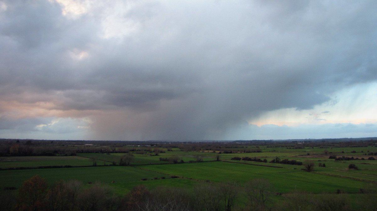
@Durotrigesdig I went out on the A303, but the South Cadbury photo from that leg of the trip really was hopeless, even by my standards 😃. I did stop for these ^, but most of the time I just set the intervalometer running, plonk the camera on the dash and let it get on with it.
I've been on the A35 again this afternoon, so for #HillfortsWednesday this week, a couple of almost real-time photos of #MaidenCastle and heading a bit further west, the #hillfort at #Eggardon. Usual high quality images, of course! 😉
Using #LiDAR from @EnvAgencyGeomat & a REM to take a look at the late 18thC salt marsh at South Efford, (& some sand/mud banks) on the River Avon in #SouthDevon. (Now in the care of @DevonWildlife Trust).
@Phil_M_Barrett Ta, this one was a bit more complex due to the engineered nature of this landscape - feels like a very traditional use of both #Lidar & REMs too, as do I think @EnvAgencyGeomat data has it's roots in flood mitigation ... before we all piled in looking for odd bumps in fields 😉
@Phil_M_Barrett So, an interesting enough exercise, if nothing else it highlights old (pre-managed) river channels and rhynes as much as it confirms just how flat the land is in relation to the R Parratt; albeit at the river hight when the #LiDAR survey took place. W/bonus part worked version😉
@Phil_M_Barrett It might be interesting to see how a REM of the R. Parrett looks through here - tho' it's level enough anyway so may be not *that* interesting 😉... I'll set that up this evening and we'll see.
@Phil_M_Barrett Views of, and then from the Mump.
Summertime photos are to the SE and NE (up to Glastonbury), Wintertime shot is NW.
(Implied Oak King / Holly King references in the timing are accidental, but ... 😉)