To enhance the quality of life by providing outstanding public service responsive to the needs of our citizens, our unique community, and our environment.
🛩️Get ready for lift-off at the Southernmost Air Spectacular this weekend! 🛩️ While you're enjoying the thrilling aerial performances, be sure to stop by the Florida Department of Transportation booth! #MyFDOT#DriveSafely#MonroeCounty#FloridaKeys#SafetyFirst
As part of the continued efforts to contain the fire, #MDFR and @FLForestService are working to put out spot fires that are impacting visibility along US-1 in hopes of restoring traffic flow as quickly as possible. #344Fire
Monroe County's Joint Information Center is live. Updates can be found at https://t.co/BbfvAdyUct. The JIC provides updated information from Florida Keys partners in one spot. #helene#floridakeys
Shelly also serves as @monroecounty's representative on the Florida's Coral Reef Coordination Team, the principal advisory body for issues impacting Florida’s Coral Reef & associated resources!
https://t.co/GfrG5SLVbX
The @monroecounty started a series of short surveys on future Keys development. The first one is meant to gauge people’s knowledge of the issues and learn how they want to get news updates. https://t.co/CYtSmFZd4b
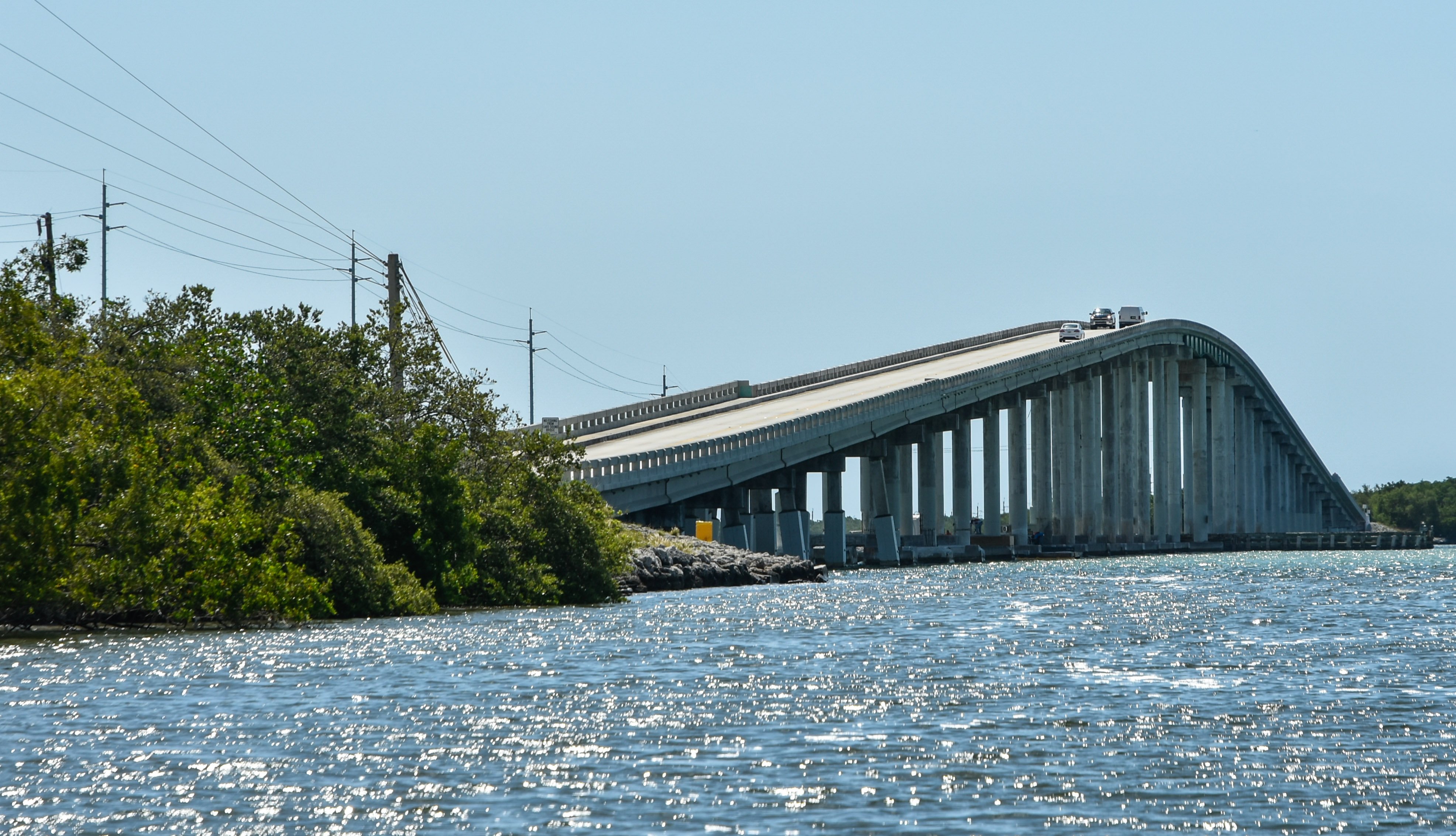
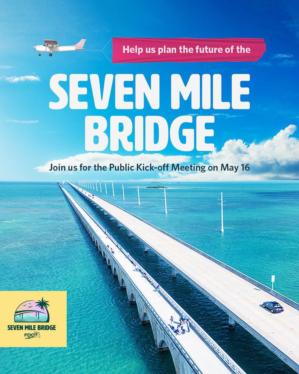
FDOT is planning for a new 7 Mile Bridge – and they want your input!
Date: Thursday, May 16, 2024
Time: 5:30 – 7:30 p.m.
Location: Marathon Government Center, 2798 Overseas Highway, 2nd Floor
Join online: https://t.co/a9gTxHDTLt
Visit: https://t.co/IbfMJi5y9g for more info.
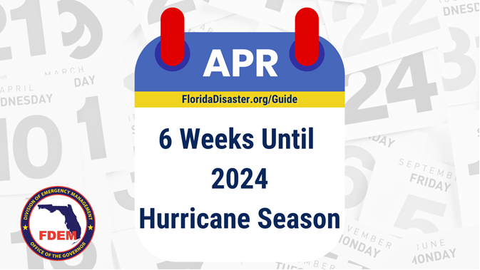
We are officially 6 weeks away from the start of the 2024 Atlantic Hurricane Season ‼
Take time now to make all necessary preparations & use the 2024 Hurricane Guide to help you plan.
➡️ Visit https://t.co/XcA4WkWAjT.
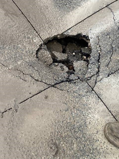
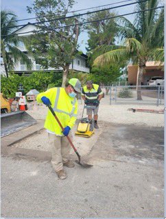
An iguana tunneled under the asphalt on this Key Largo road and caused what one neighbor called a “weird sinkhole.” @monroecounty went out and found an iguana nest under the road. An iguana BROKE THE ROAD. They’re invasive and I never liked them before. Quote me.
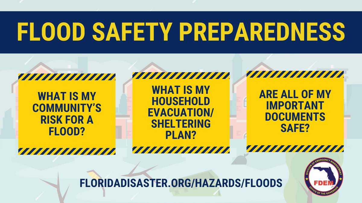
💧 It's FL Flood Awareness Week! Floods can happen without warning, so it's important to #MakeAPlan for your household, including your pets:
▪️ Know the types of flood risks in your area
▪️ Practice evacuation/shelter plans
▪️ Keep important documents in a waterproof container
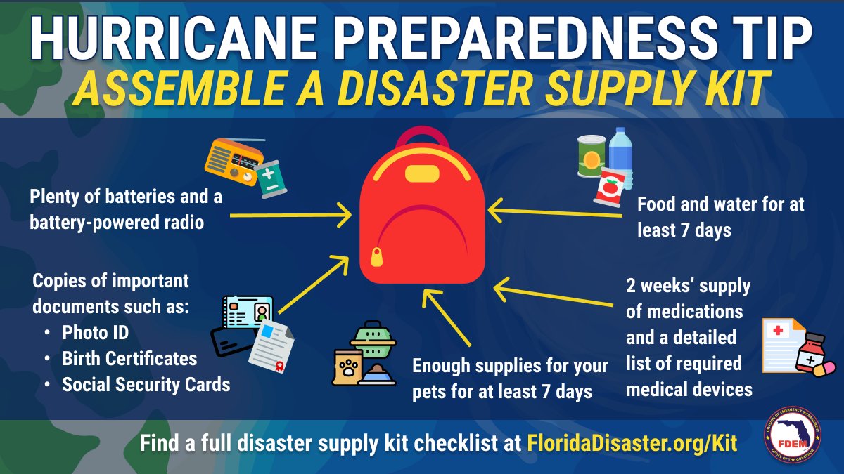
With less than 100 days until the start of hurricane season, take time to stock your disaster supply kit with at least 7 days of supplies, including:
🐶 Pet supplies
🥫 Nonperishable food
🔋 Batteries
➡️ Find a full supply kit checklist - https://t.co/8Y6Etc5B2W
1/8 4:45 PM - Heads up! A strong frontal boundary will push through the area tomorrow evening into early Wednesday morning. Biggest threats include strong wind gusts and isolated tornadoes.
Here's a look at what radar trends could look like between 7PM Tuesday and 8AM Wednesday.
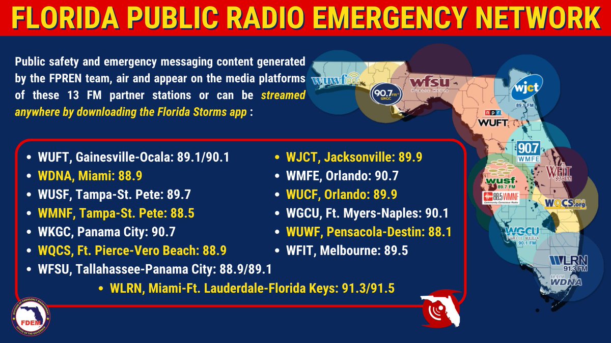
#DYK? Florida public media stations broadcast important info statewide for residents. As we continue to monitor severe weather that will impact the FL Panhandle & Central FL overnight & Tuesday, be sure you know which station to access for up-to-date info in your area. ⬇️
Don't let your holidays go up in flames. If you have a Christmas tree in your home, follow these tips to prevent fires:
🎄 Water your living Christmas tree daily
🕯️ Keep trees away from open flames
✨ Get rid of old lights and don’t overwhelm electrical outlets
Interested in your trash and recycling schedule for the holidays? The holiday schedule can be found on Monroe County's Solid Waste webpage at https://t.co/33qs7ygcWI.
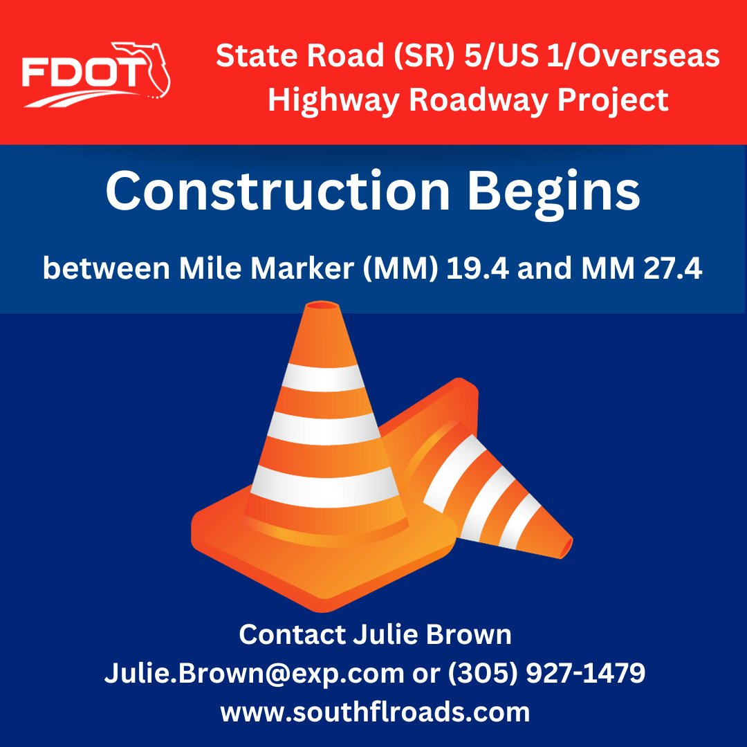
Construction along SR 5/US 1/#Overseas Hwy in the #LowerKeys began this week, Sun.-Thurs., from 9:30 p.m. to 5 a.m., between MM 19.4 and 27.4. Use caution when driving in the area. Visit https://t.co/PhERQ8qzpL. #D6atWork#MonroeCounty#FloridaKeys@monroecounty @mcsonews
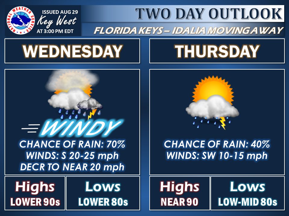
Hurricane Idalia is past the closest point of approach to Key West as of 3:00 PM. Weather will slowly improve Wed/Thurs as the hurricane moves further north. Please continue use caution this afternoon through Wednesday when driving due to windy and squally conditions.
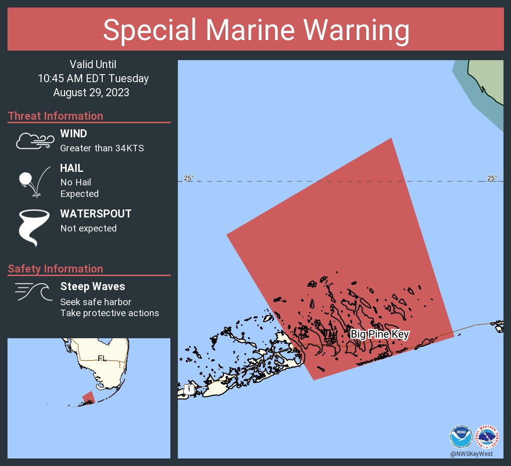
Special Marine Warning including the Gulf waters from East Cape Sable to Chokoloskee 20 to 60 NM out and beyond 5 fathoms and Bayside and Gulf side from Craig Key to West End of Seven Mile Bridge until 10:45 AM EDT