“The part now possessed by the Mosquitian people, is from Boca Toro (which was conquered by the Mosquitian people in the month of August 1758), to Cape Honduras, and about 300 leagues southeast and northwest, called by the Spaniards Costa Rica.” – Lieut. Joseph Smith Speer, 1765.
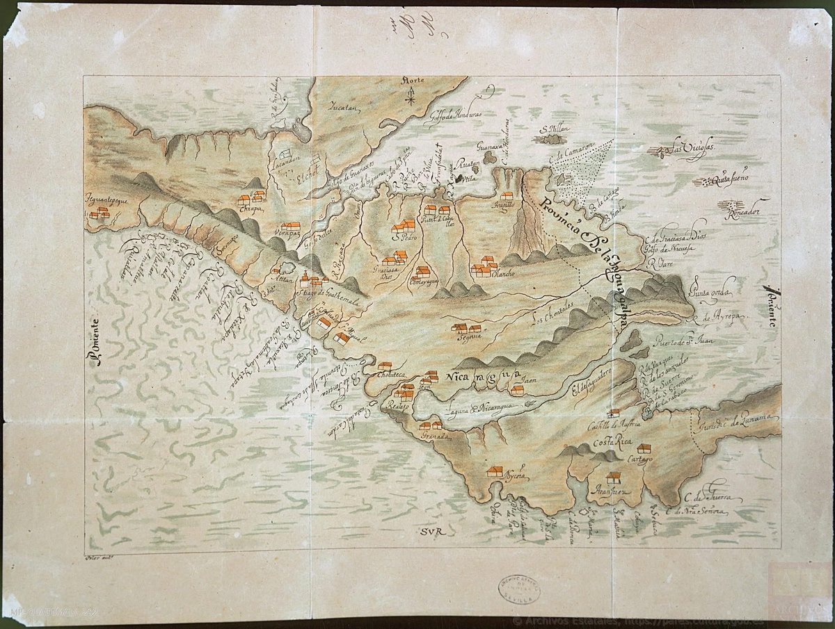
Political Map of Mosquitia in 1690. The Kingdom of Mosquitia is the first country in Central America with a recognised international border. #Mosquitia
French political map of North America featuring #Mosquitia (#Mosquitie), the United States, New Spain, Belize, Jamaica, etc., 1812. By Conrad Malte-Brun and Pierre M. Lapie.
French political map featuring Mosquitia, Central America.
French political map of North America featuring #Mosquitia (#Mosquitie), Russian America, Canada, the United States, Mexico, Belize, the Central American Federation, the Caribbean, etc., 1825. By Jean Alexandre Buchon.
French political map featuring Mosquitia, Central America.
Political map of North America featuring #Mosquitia, Iceland, Greenland, Canada, Russia, the United States, Mexico, Belize, Guatemala, Honduras, El Salvador, Nicaragua, Costa Rica, Colombia, and part of the Caribbean, 1864.
Political map featuring Mosquitia, Central America.
French political map of Central America featuring #Mosquitia (#Mosquitie) Belize, the Central American Federation, Mexico, and Colombia, 1825.
French political map featuring Mosquitia, Central America.
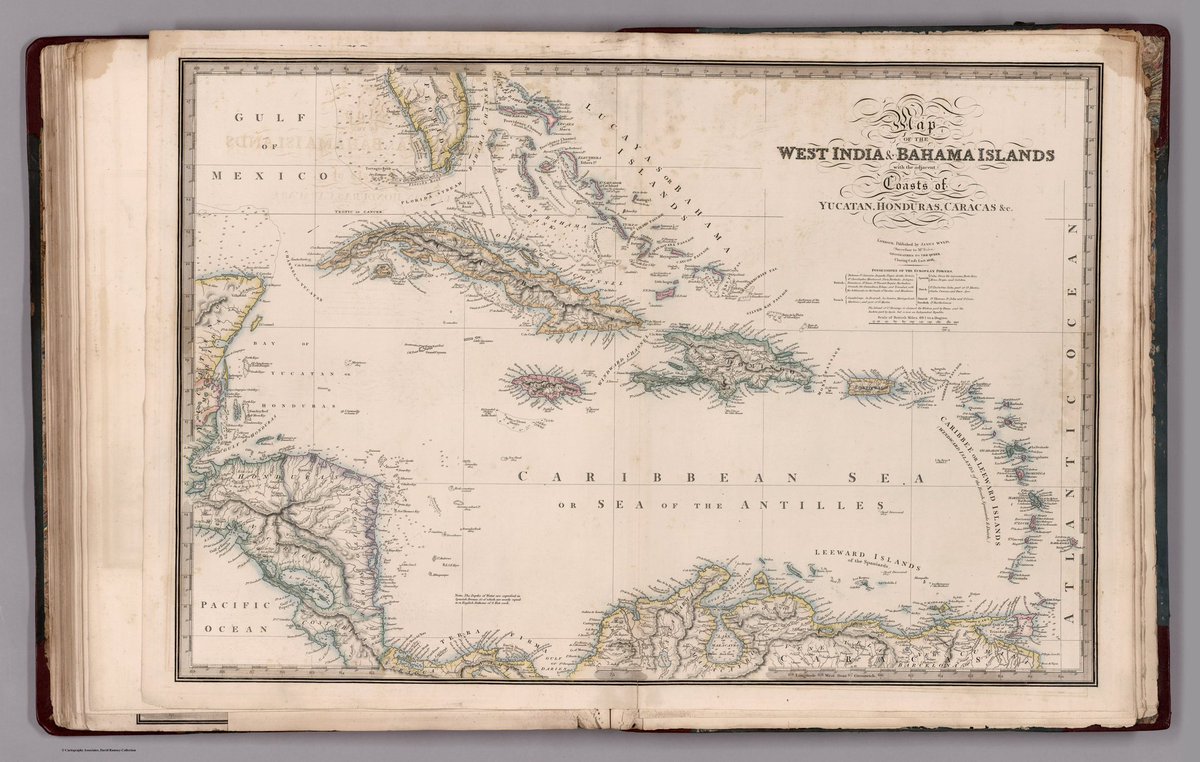
Political map of the Caribbean featuring #Mosquitia, Belize, Mexico, the Central American Federation, Jamaica, Cuba, the Bahamas, Haiti, Puerto Rico, the Leeward Islands, etc., 1838.
Political map featuring Mosquitia, Central America.
Political map of southern North America featuring #Mosquitia, the United States, Mexico, Belize, the Central American Federation, Colombia, Jamaica, Cuba, Hispaniola, the Bahamas, etc., 1846.
Political map featuring Mosquitia, Central America.
Political map of North America featuring #Mosquitia, Iceland, Greenland, Canada, Russia, the United States, Mexico, Belize, the Central American Federation, Colombia, etc., 1838.
Political map featuring Mosquitia, Central America. @DavidRumseyMaps
Political map of North America featuring #Mosquitia, Canada, the United States, Mexico, Belize, the Federal Republic of Central America (Guatemala Federation), and Colombia (Panama), 1846.
Political map featuring Mosquitia, Central America. @DavidRumseyMaps
Political map of Central America featuring #Mosquitia, Belize, Costa Rica, El Salvador, Guatemala, Honduras, Nicaragua, and part of Mexico, 1864.
Political map featuring Mosquitia, Central America. @DavidRumseyMaps
Political map of southern North America featuring #Mosquitia, Mexico, Belize, the Federal Republic of Central America (Guatemala Federation), and Colombia (Panama), 1838.
Political map of Central America featuring Mosquitia.
@DavidRumseyMaps
There exists a great tussle between falsehood and the truth concerning Mosquitia. In the fullness of time, truth shall prevail. Truth may be delayed, obscured, or denied, but it has a remarkable tendency to endure.
🇧🇿 History has been made. 🇧🇿
In a ‘Formal Statement on Kriol Identity, Ancestral Territories, and the Protection of Foundational Kriol Communities’ dated 5 June 2026, the ‘National Kriol Council of Belize’ declared that Belizean Kriols are Mosquitians!
Following the balkanisation of the Guatemala Federation, Nicaragua recognised the sovereignty of Mosquitia on 11 August 1838, followed by Costa Rica on 29 September 1840, Honduras on 16 December 1843, and Guatemala on 6 December 1847. —British and Foreign State Papers v.38. 1862.
A ‘Detailed Chart of the Mosquitian Coast, including its banks, reefs, channels, soundings, and other navigational features, prepared for the use of the British Royal Navy and used by the Admiralty for its direction and governance.’ 1778.
A map of the Bay of Mosquitia, showing the coast from Portobelo to Cape Gracias a Dios. Executed by Lieutenant Colonel and 2nd Engineer, Don Juan Francisco de Navás, in connection with the Peace Treaty of 1769 between Mosquitia and Spain. Dated at Panama, 23rd July 1777.
Mosquitia was the first country to acknowledge the political independence of the Guatemalan Federation, doing so on 8 March 1824.
“I have received information that the Government of Colombia have sent agents to the Provinces of Guatemala to induce them to join that Republic;”