Also funded by MBIE! Our lakes, Our future: holistic approaches to transform lake management and restoration in a changing world Thanks to Susie, Marcus and the team for getting it there. Looking forward to improving our understanding of the impacts of storms on lakes, see below
Funded by MBIE! Ngā Ngaru Wakapuke — Building resilience to future earthquake sequences Thanks to Jamie Howarth, Caroline Orchiston and the whole team for getting it over the line! Looking forward to working on the lakes and earthquake sequences in the Marlborough transition zone
Geography 283/389 field trip examining evidence for the last interglacial sea level stand in north Otago. Students are standing on the modern wave cut platform looking at the last interglacial wave cut platform overlain by a beach deposit and loess.
Multibeam echosounder survey of Lake Kaniere, Westland, NZ to identify core locations. The data will be used by PhD student Adelaine Moody to develop long paleoseismic records. @seismiccycle@otago
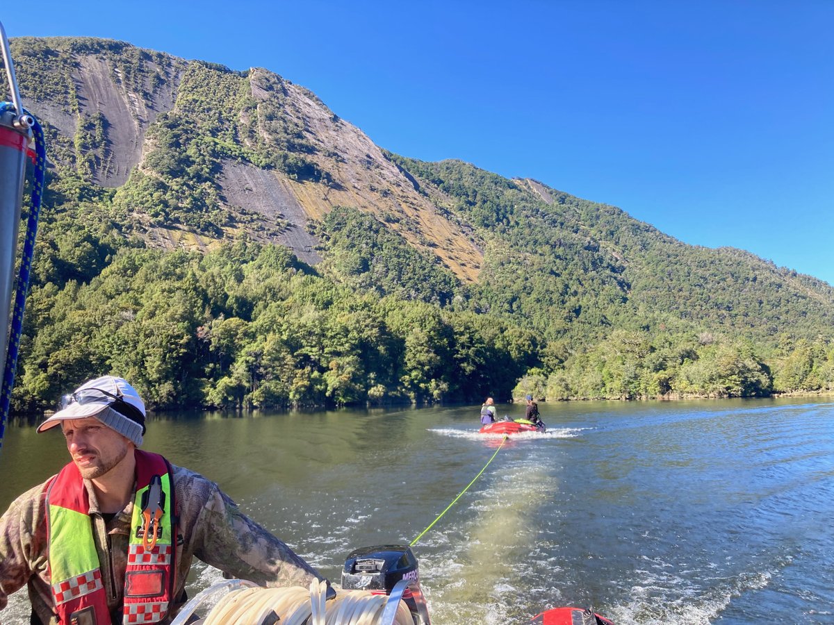
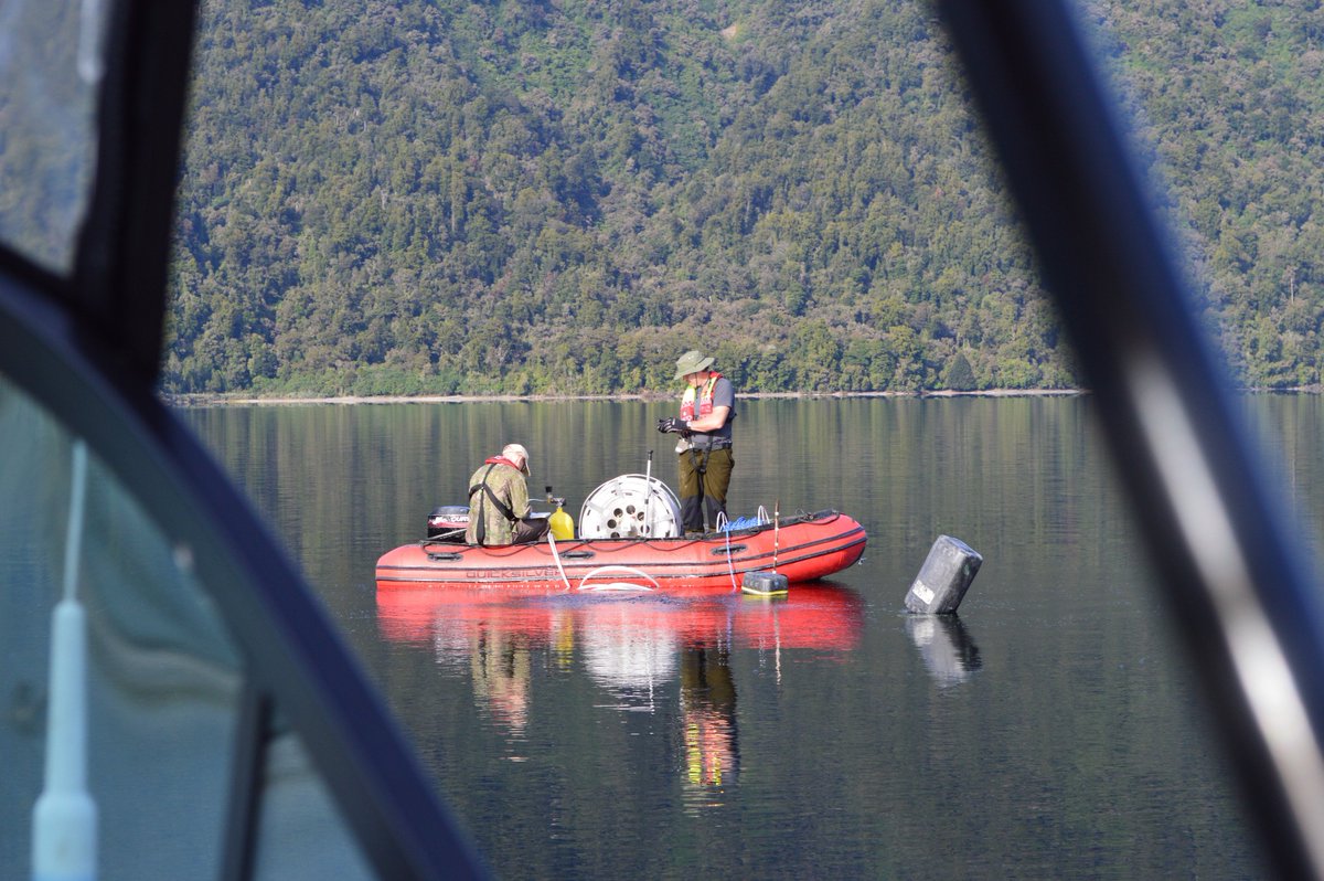
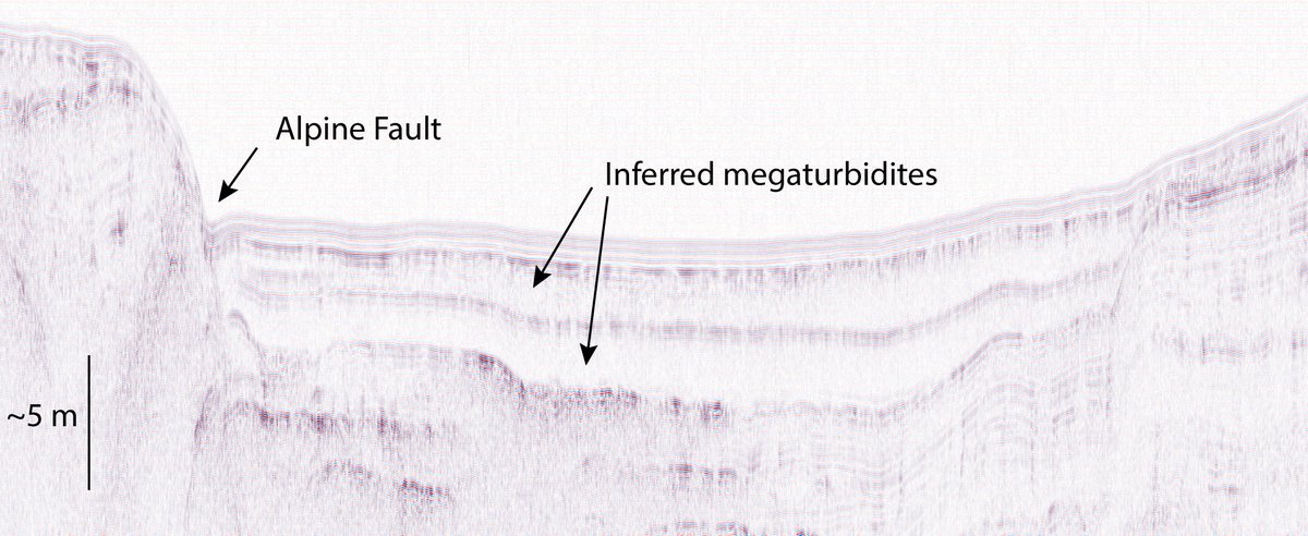
Chasing the sedimentary signature of Alpine Fault earthquakes and tsunami in lakes Rotoiti and Rotoroa with @MountainGeomporph and @LandslideKatie. The meters thick megaturbidites in the geophysics are quite the smoking gun!
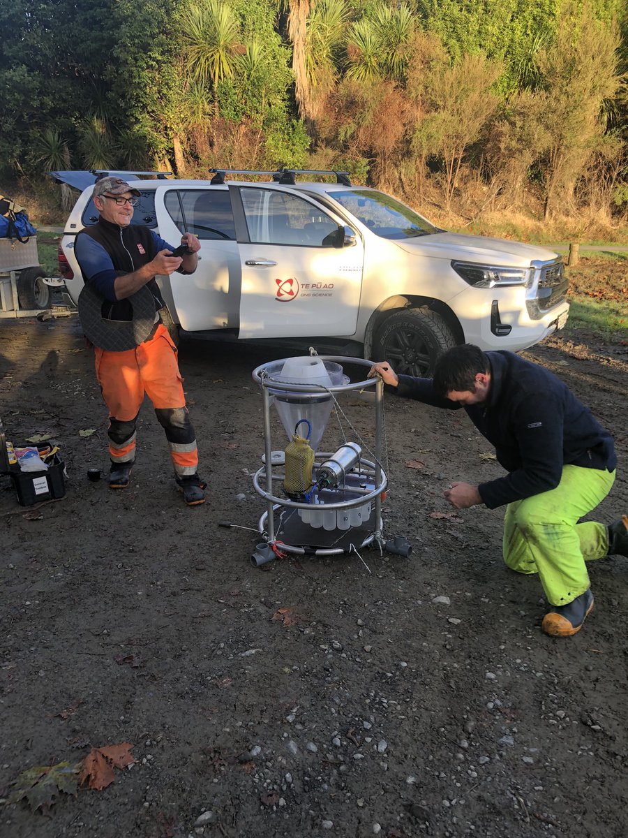
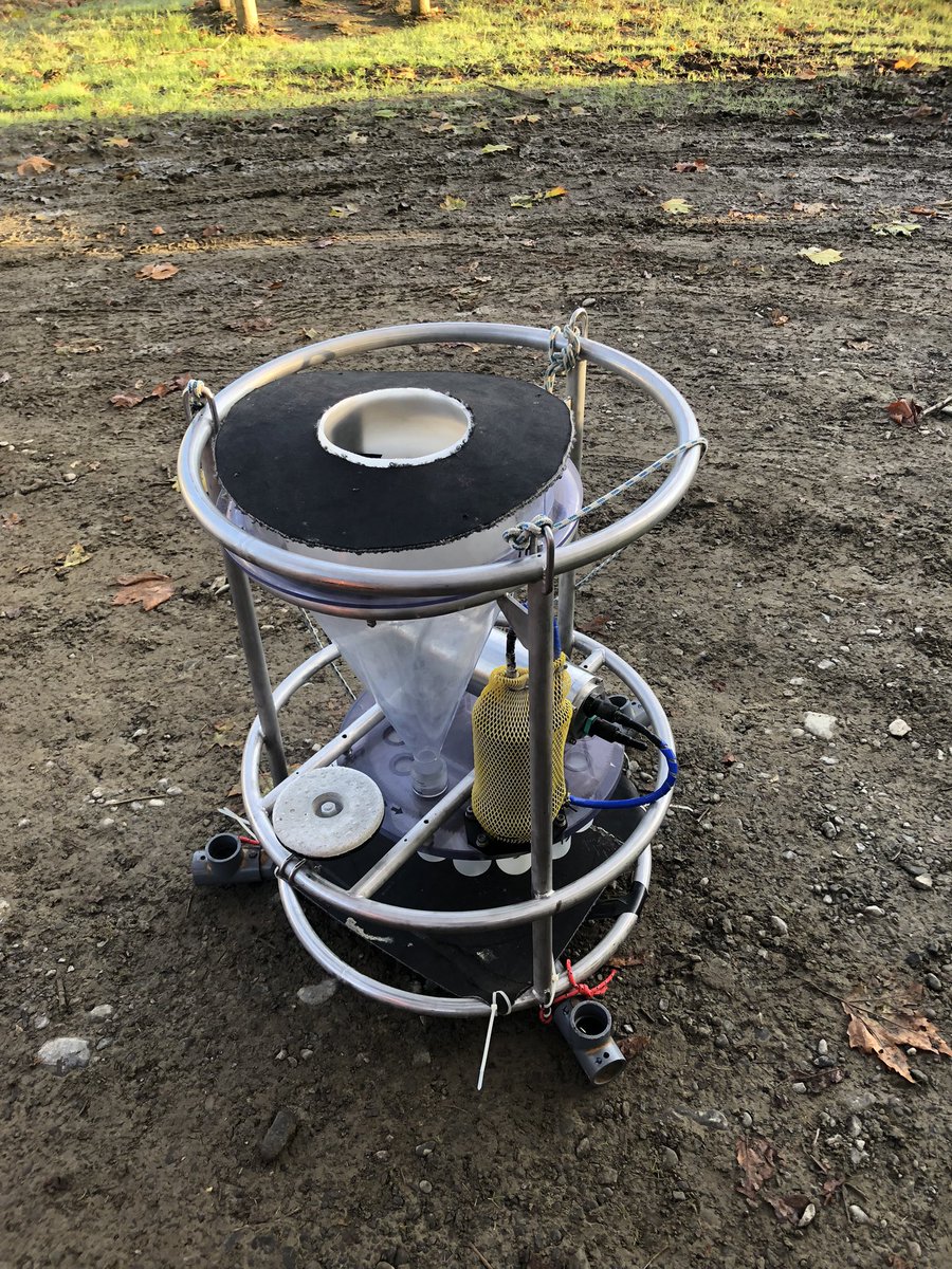
What does one do when the mass accumulation rate in the lake is too high for your impeccably designed automatic sediment trap due to a recent cyclone? Innovate with cable ties, carpet and part of a home brew conical fermenter with @MountainGeomorp and @gnsscience.
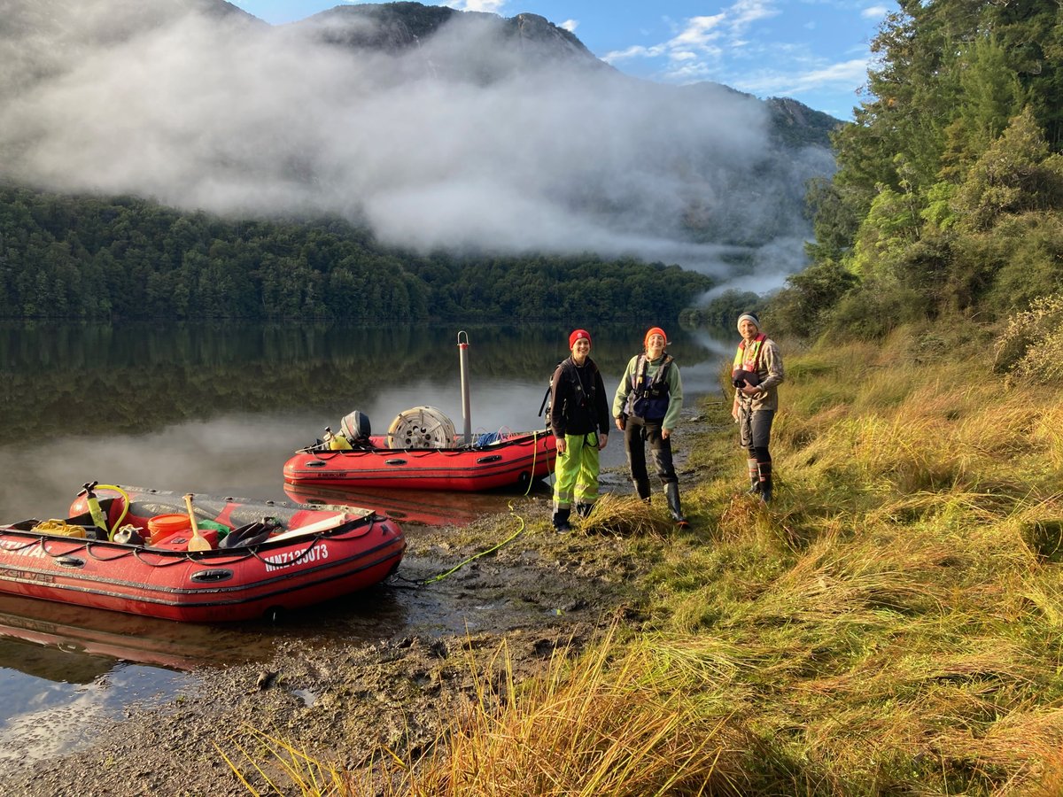
@MountainGeomorp@gnsscience After four days on Lake Tūtira the sedimentary signature of Cyclone Gabrielle is now thoroughly mapped. It is always reassuring when the geophysics and sediment cores tell the same story!
How did the landscape respond to the Cyclone Gabrielle? Here’s a look at a core from Lake Tūtira showing the Gabrielle deposit (February 2023) sitting on top of the Cyclone Bola deposit (March 1988) with @seismiccycle@gnsscience
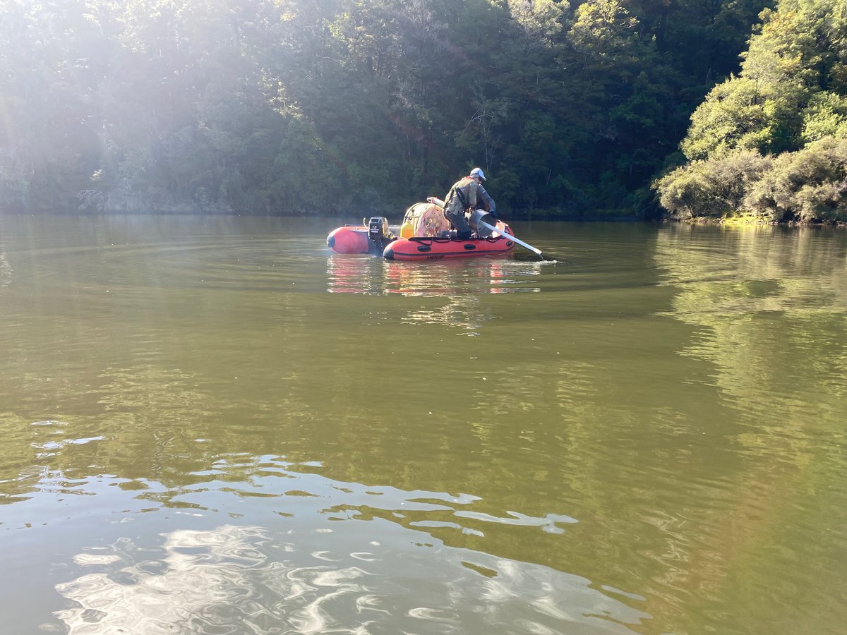
Undertaking a post Cyclone Gabrielle CHIRP survey of Lake Tūtira with @seismiccycle@gnsscience to assess the volume of sediment from the cyclone and to determine locations for coring. Maungaharuru-Tangitū Trust provided a karikea at the lake.
Next lake please… Mackereth corer surfacing from 135 m water depth in Lake Rotoroa (Nelson Lakes National Park) assisted by a 1 tonne lift bag - dense, sticky sediment. The core will be used by PhD student Adelaine Moody to extend the record of ruptures of the Alpine Fault.
Mackereth corer rising from 80 m water depth in Lake Rotoiti after successfully taking a 6 m-long core The core will be used by PhD student Katie Hughes to study tsunami generated by seismic-triggered mass movements
How did the landscape respond to the 1929 Murchison Earthquake? A CHIRP survey shows that the lake now has a maximum depth of only 8 m. Photos show the rockslide that dams the lake, reactivated by seismic shaking in 1929, coring Lake Matiri using a mini Mackereth corer.
Flying the University of Otago Mackereth corer into Lake Matiri to examine the landscape response to the 1929 Murchison Earthquake with Jamie Howarth, Adelaine Moody and Katie Hughes from Victoria University of Wellington
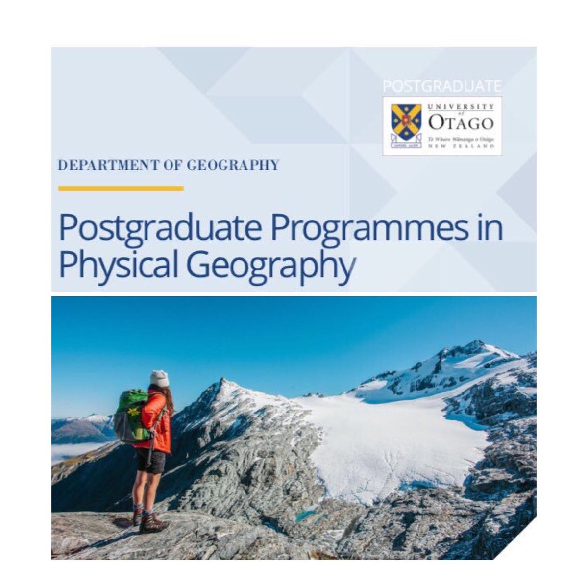
It’s a great time to talk with us & ask your questions about #postgrad#science. Postgrad #physicalgeography is a way into working on key processes that underpin contemporary issues in our environment. Make an appointment to see senior science advisor [email protected]
Retrieval of cores from Lakes Paringa and Mapourika, Southern Alps, NZ.
Jamie Howarth and Sean Fitzsimons aboard. The aim: to quantify the impact of earthquakes on carbon export in active mountain belts. NERC-funded project, led by Bob Hilton from Durham University.