@JSchripsema@NWSKansasCity@Weather_West Um, the old record, of 91, was recorded back over 100 years ago. This is not a good spot to use your "climate change is real" argument.
@codeman1974@glezak If nws had a t-storm watch, and there are 3 seperate tornados that break out, people would riot and be shaming NWS for not calling a tornado watch. People like you would probably complain in both situations just to complain.
Hope you have yourself a nice night.
@codeman1974@glezak Nobody will pay attention to the "tor possible" statement if they were to have that with a t-storm watch with that (which is why they dont). The conditions were FAVORABLE for tornados, Hence why the watch was called. Sure, conditions in IL were stronger but thats beside the point
@codeman1974@glezak How were they unnecessary? Do you know how to look at the different types of radars like the velocity, differential coefficient, etc? They have all shown general signs of rotations and shear throughout. Which are can quickly lead to tornados forming.
Your statement is ridiculous
@codeman1974@glezak Considering there's been two tornado warnings issued, and at least 7 Severe Thunderstorm Warnings with the **a tornado is also possible** tags, I'd say this Tornado Watch was MORE than warranted
@sportsfaned @DestroyL23 Bingo! This is the correct take. Mahomes was clearly in the end zone, and he went for a cheap hit. And then proceeded to continue with the cheap hits at the end of the game as well. Branch is a bitch.
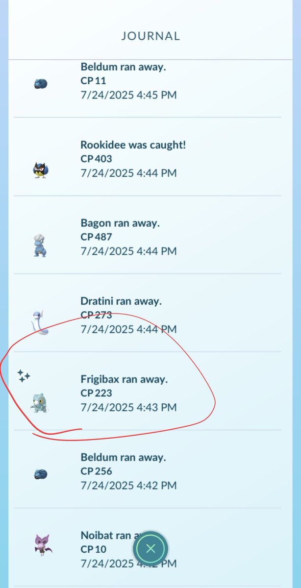
@KahunaPat@PokemonGOHubNet There's nothing misleading here... The article literally mentions the fact that it's temporary and links to the help article you linked.
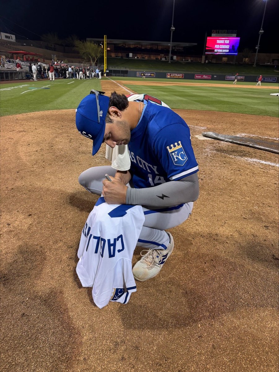
Baseball's top power-hitting prospect, Jac Caglianone, is set to make his MLB debut for the @Royals tonight, so we're giving away his autographed jersey!
Follow, repost and reply for your chance to win.
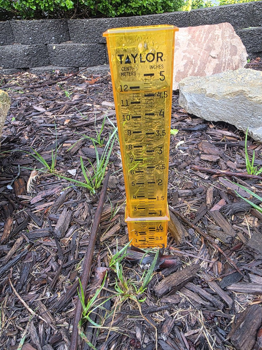
@NWSKansasCity Up to 4.6 inches since a little after 3pm yesterday up here in Northern Kearney. We were at 3.4 inches just from 3pm - 5pm! This was some MUCH needed rain for sure!!
75 MPH WIND GUST AT OLATHE/JOHNSON COUNTY AIRPORT. 75 TO 80 MPH WINDS MOVING THROUGH EASTERN JOHNSON COUNTY KANSAS INTO JACKSON COUNTY MISSOURI. This is a distructive Storm! #KCMO#KC Metro #kswx#mowx
Please! If you see this or if you know someone who is headed into #KC on I-35 northbound, call them, the highway is flooded at Pennway St. in the Crossroads! Do NOT drive into flooded roads! #mowx#kswx#kcmo
@markpibarra@NWSKansasCity I'm in the northland and can say with absolute certainty that I saw mention of it (albeit only a slight chance - but chance nonetheless) earlier this evening...
Seems like you're the one that needs to do better as far as checking the Forcast goes.
A winter storm is expected to impact the region tonight into tomorrow night. Snowfall accumulations of 4-8 inches expected across the area with a light glaze to a few hundredths of an inch of ice mainly for areas south of I-70.