UNDP Project and GIS Support Officer Kenya|UAVs |Green energy |Sustainable development|Gaming |Qubevex|
*Views are my own.Likes & Retweets are not Endorsements*
"We should not just plant trees, rather, we should grow them."
This #WorldEnvironmentDay, Abigail from Isinya Girls High School shares why we must nurture trees like a child to inspire green careers. Thank you
@ces_stewardship & @UNDP Kenya for fueling this great youth fire.
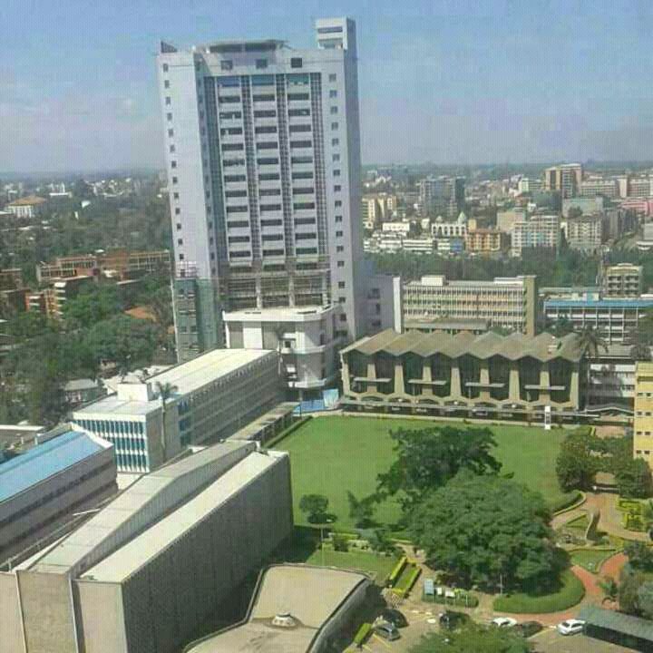
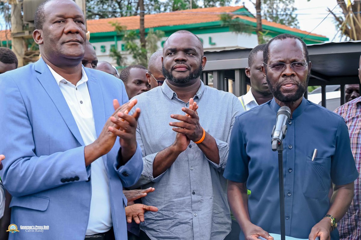
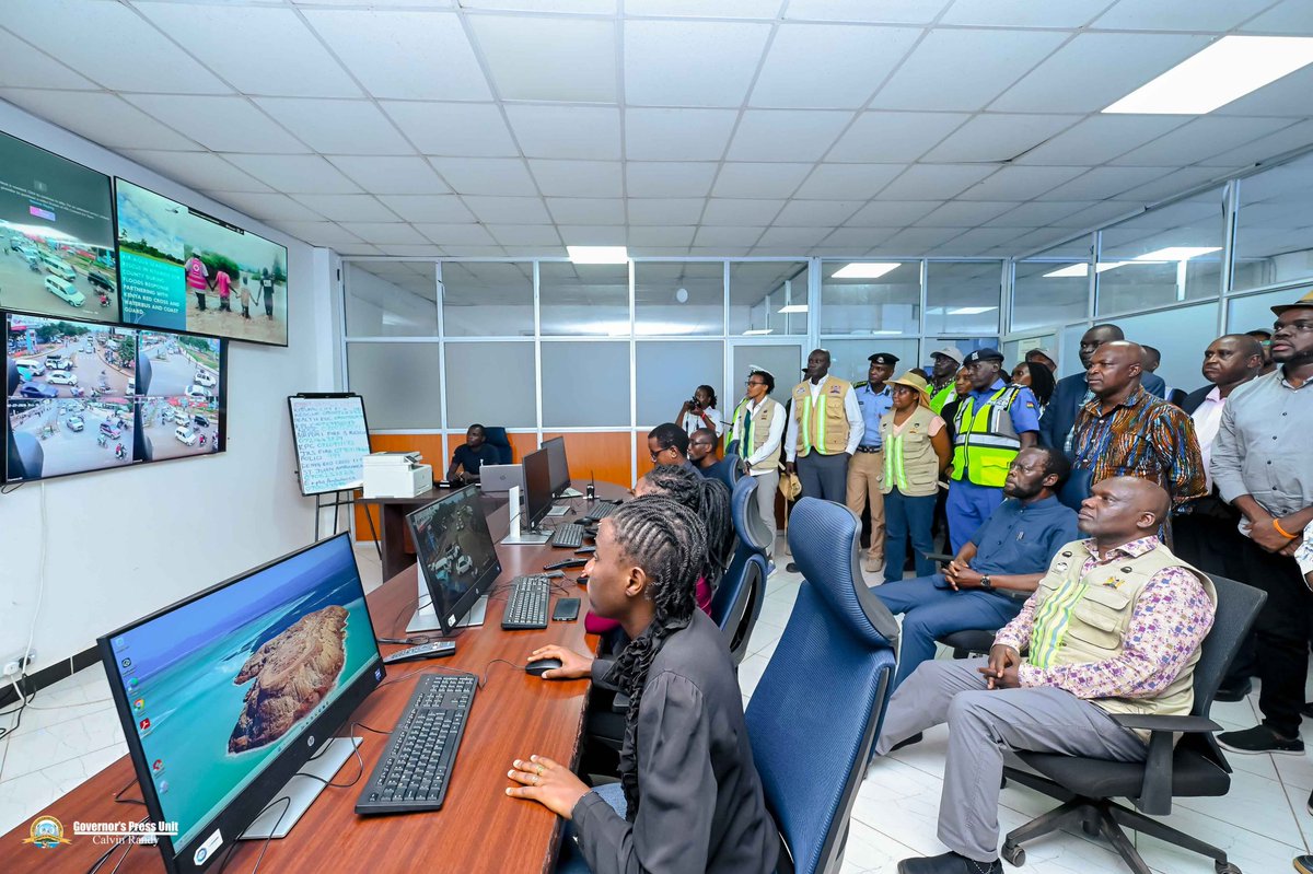
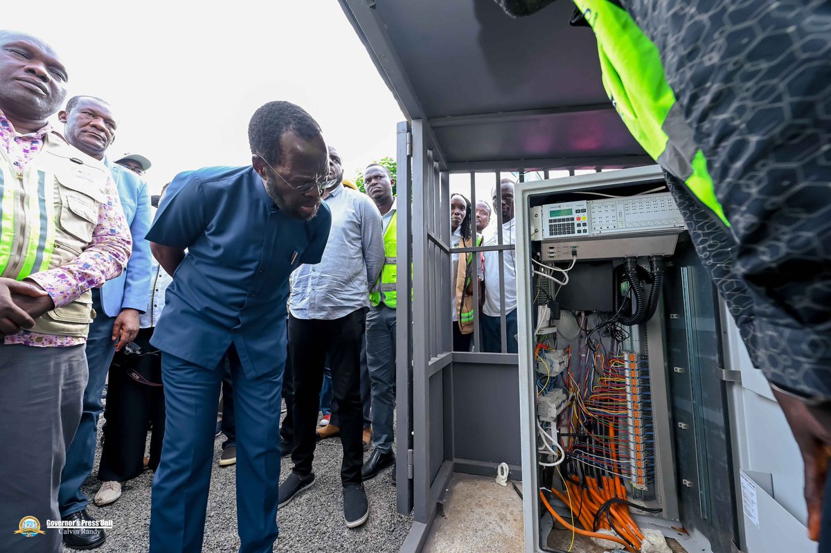
Our Smart City journey remains on course. Officially commissioned new Traffic Lights & integrated CCTV system handed over to City of Kisumu by KeNHA. The smart traffic system will enhance traffic flow, reduce congestion, improve safety & strengthen citywide security. #TichTire
🌍Disasters disrupt lives, dignity, and livelihoods. That’s why building resilience matters.
As @UNDP Kenya’s Emergency Resilience Officer, serving through the United Nations Volunteers (UNV) programme, Ms. Opportuna is helping communities do more than recover.
For her, resilience is not just about survival, it’s about restoring dignity and protecting futures.
Read more: https://t.co/CQESHhH5Hn
📢Call for Proposals: Supporting Community Recovery from Floods.@UNDPKenya invites Civil Society Organizations (CSOs) and Community-Based Organizations (CBOs) to apply for Low-Value Grants 📷More details on: https://t.co/UgIbBaptKJ
📢Call for Proposals: Supporting Community Recovery from Floods.
@UNDP Kenya invites Civil Society Organizations (CSOs) and Community-Based Organizations (CBOs) to apply for Low-Value Grants (LVGs) aimed at strengthening recovery efforts in counties most affected by floods, as identified in the Kenya Floods Recovery Needs Assessment (KF-RNA) 2024.
📩Submit your concept notes and required documents to: [email protected]
🕓Deadline: 1st August 2025 at 16:30 (Kenyan Time)
🔗More details on: https://t.co/UnriR8Dkfi
Today marks a major milestone for national resilience and climate governance as the Ministry of Interior & National Administration launches the National Disaster Risk Management Strategy (2025-2030),
With support from @UNDP, @EUinKenya, and key partners, this strategy equips Kenya with a robust framework to mitigate disaster risks, protect communities, and integrate disaster risk management into development planning.
Together, let us build a safer, more resilient Kenya.
At @UNDPKenya, we are proud to have supported the development of Kenya’s National DRM Strategy 2025–2030, launched today in Nairobi.
Through the Strengthening Disaster Risk Governance and Recovery Capacities project, funded by @EUinKenya, we’ve helped lay the groundwork for better risk governance, early warning systems, and recovery planning.
This strategy empowers Kenya to build stronger systems and reduce climate-related vulnerability—especially in the most at-risk communities.
Thank you to @MinInteriorKe, @RedCrossKE, and all partners for the incredible collaboration.
#DisasterPreparedness #BuildBackBetter #SDGs #UNDP #Governance
Today, I welcomed a delegation led by Evelyn Koech, Team Leader for Environment & Resilience at UNDP, and Gordon Muga, Senior Deputy Secretary from the National Disaster Operations Center (NDOC), for a courtesy call at my office.
🇰🇪In our commitment to #LeavingNoOneBehind, the @UNDPKenya Environmental Resilience Unit & @NDMA_Kenya are implementing Stabilization & Recovery projects to support ASAL counties affected by conflict & disasters, fostering long-term resilience.
Two crucial steps when getting into a Geospatial career
1. Understand the Basics of GIS
- What is GIS?
- How does it work?
- Learn about spatial data (vector vs. raster)
- Explore real-world GIS applications
2. Learn GIS Software & Tools
- Start with a GIS software - QGIS or ArcGIS
- Master data visualization & mapping techniques
- Work with attribute tables, symbology and labeling
- Learn about geoprocessing tools and spatial analysis
Access over 66 recorded topics and sessions on GIS and QGIS at https://t.co/hWP7YKD4oL
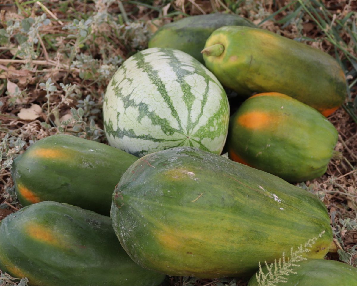
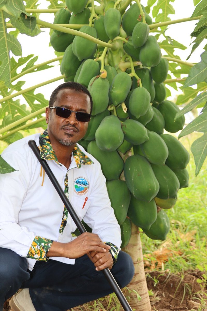
Arid and semi-arid regions hold vast potential for agriculture. At Al-Falah irrigation scheme in Garissa County, farmers are growing various fruits & fodder. Despite damage from 2023 El Niño flooding, the farm is back in operation with support from @UNDPKenya, @SwedeninKE & NDMA.
Happening now: Launch of the Disability Inclusion Report!
Disability inclusion is not just a moral imperative—it’s an economic and social necessity. In Kenya alone, exclusion of persons with disabilities costs 6.95% of GDP annually.
It’s time to break the barriers.
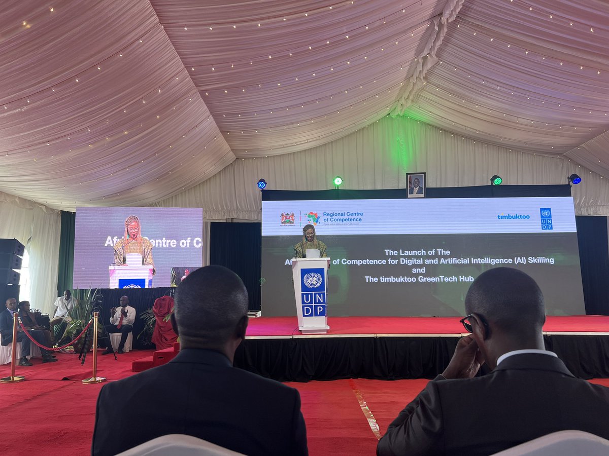
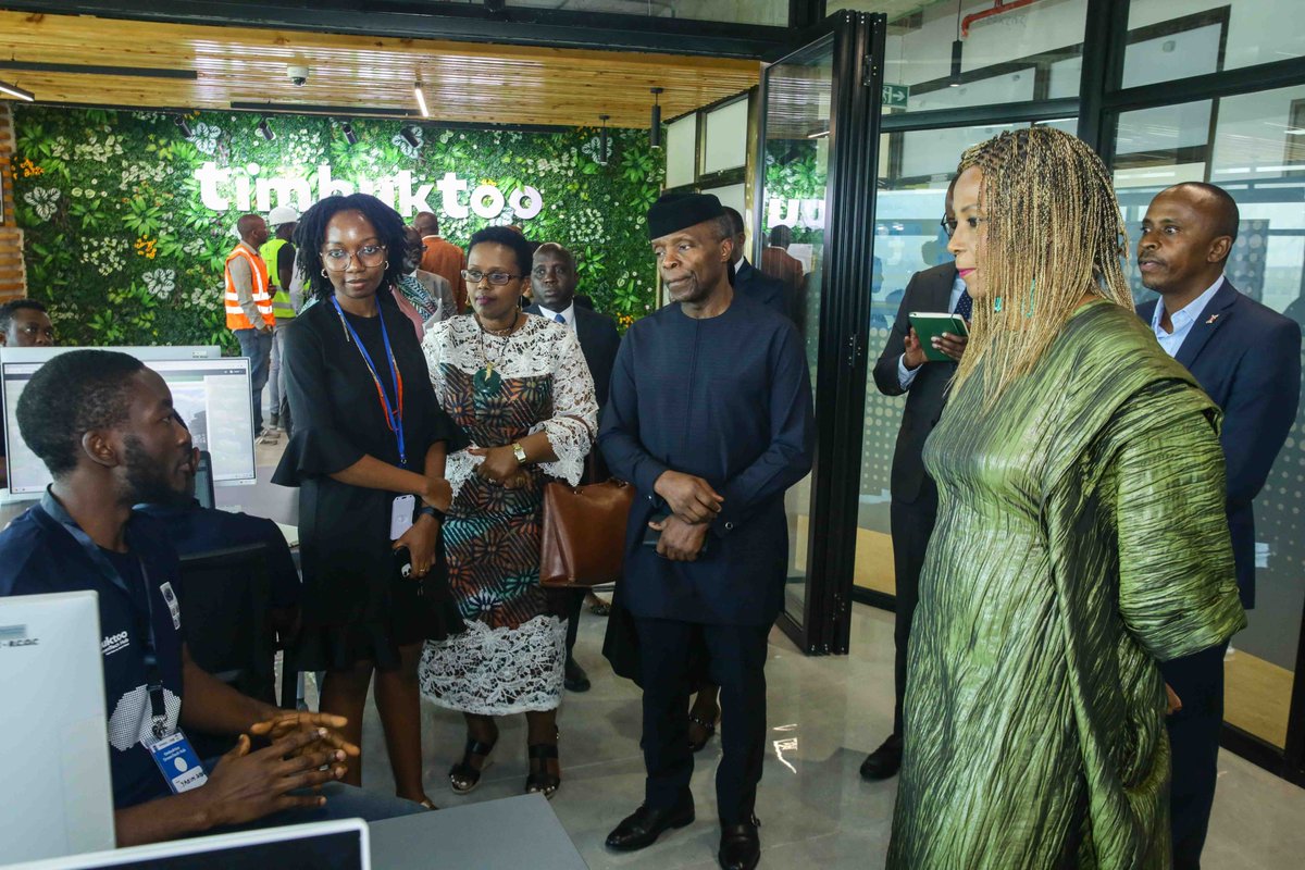
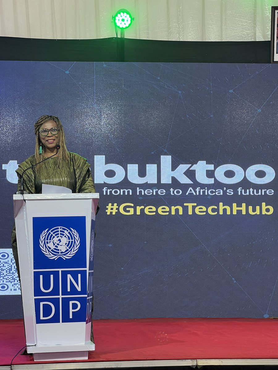
Africa stands at the crossroads of digital & green transitions. With youth-led ingenuity and abundant resources, we can pioneer sustainable, inclusive growth.
@UNDPAfrica's Regional Director @ahunnaeziakonwa heard from some of the #GreenTechHub innovators at the launch today.
Moderated an inspiring panel at #COP16Riyadh on ‘Roots of African Resilience and Riyadh’s Legacy.’ Discussed the transformative ROAR framework and the power of partnerships in shaping resilience, innovation, and collaboration across continents.
Every investor should learn how to build a portfolio that helps them achieve their financial goals.
Having a solid financial plan helps you decide what to invest in and why.
Here are 7 Key factors that you should follow when building your investments portfolio.