🚚 We’ve moved! This account is no longer active. For the latest NASA Earth science news and resources, follow @NASAEarth or visit https://t.co/9m5CKX0fxn
GPM data is used by communities around the world to inform decision-making for water resource management, disaster preparedness, energy, transportation, and more.
Learn more about how GPM benefits society: https://t.co/gbRQx2uPxg
The NASA / JAXA Global Precipitation Measurement Mission (GPM) uses satellites to measure Earth's rain and snowfall, helping scientists understand the water cycle and extreme weather events.
https://t.co/DmdDvDCCiF
You can access lesson plans and other educational materials about Earth's water cycle, weather, climate, and satellite technology on the GPM Precipitation Education website.
https://t.co/CCm0tfgEqh
#STEM
Want to learn how to download GPM satellite precipitation data? 🛰️🌧️
Visit the GPM Data Directory for download links and documentation, with global precipitation datasets spanning a 20+ year record https://t.co/0WFDDSVwc6
The NASA / JAXA GPM Core Observatory satellite can look inside hurricanes to get a 3D view of precipitation, helping scientists understand how these powerful storms form and intensify.
https://t.co/ATJitngclr
NASA's IMERG - Integrated Multi-satellitE Retrievals for GPM - provides high-quality estimates of Earth's precipitation updated every half hour.
Learn more about IMERG: https://t.co/XdDISfYBQ2
Important update: We're consolidating social media accounts later this month and will no longer be posting here.
Be sure to follow @NASAEarth for the latest on NASA's missions, research, and data that help explore and understand Earth's atmosphere.
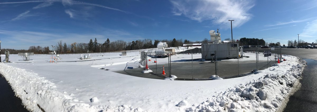
❄️ Snow much to measure! ❄️
Two GPM Ground Validation campaigns are wrapping up as winter comes to a close. Learn how scientists in the field are working to improve our understanding of falling snow to support forecasting and energy grid resilience.
https://t.co/sKZ8WH0TpJ
See Earth through our eyes. 🌎
NASA studies our home planet like no one else, observing Earth from land, air and space for more than 60 years. Happy #EarthDay!
NASA's Disasters Program is supporting response efforts by FEMA and the National Weather Service, sharing satellite maps and imagery to help assess the storms' impacts https://t.co/7c7zQCrSjR
NASA's IMERG data reveals rainfall patterns from the April 2-6 severe weather event that produced tornadoes and flooding across the U.S. south and midwest https://t.co/1lkuwzQNrh
NASA is developing new ways to process satellite data to get actionable insights into hazardous weather conditions, like tornadoes and hailstorms.
This information can help provide a more complete picture of storm damage, enabling better informed decisions during emergency response and recovery.
In the wake of the tornadoes that struck the Southeastern U.S. March 14-16, NASA Langley researchers supported by the NASA Disasters Program, mapped potential severe weather by observing patterns in the storm-tops using @NOAA GOES satellite data. https://t.co/b6cdyKoanU
Today, we honor the crews of Apollo 1 and space shuttles Challenger and Columbia, as well as other astronauts who lost their lives in the pursuit of spaceflight.
Join us virtually from @ExploreSpaceKSC for our Day of Remembrance ceremony.
https://t.co/Ts0JBlDqVe
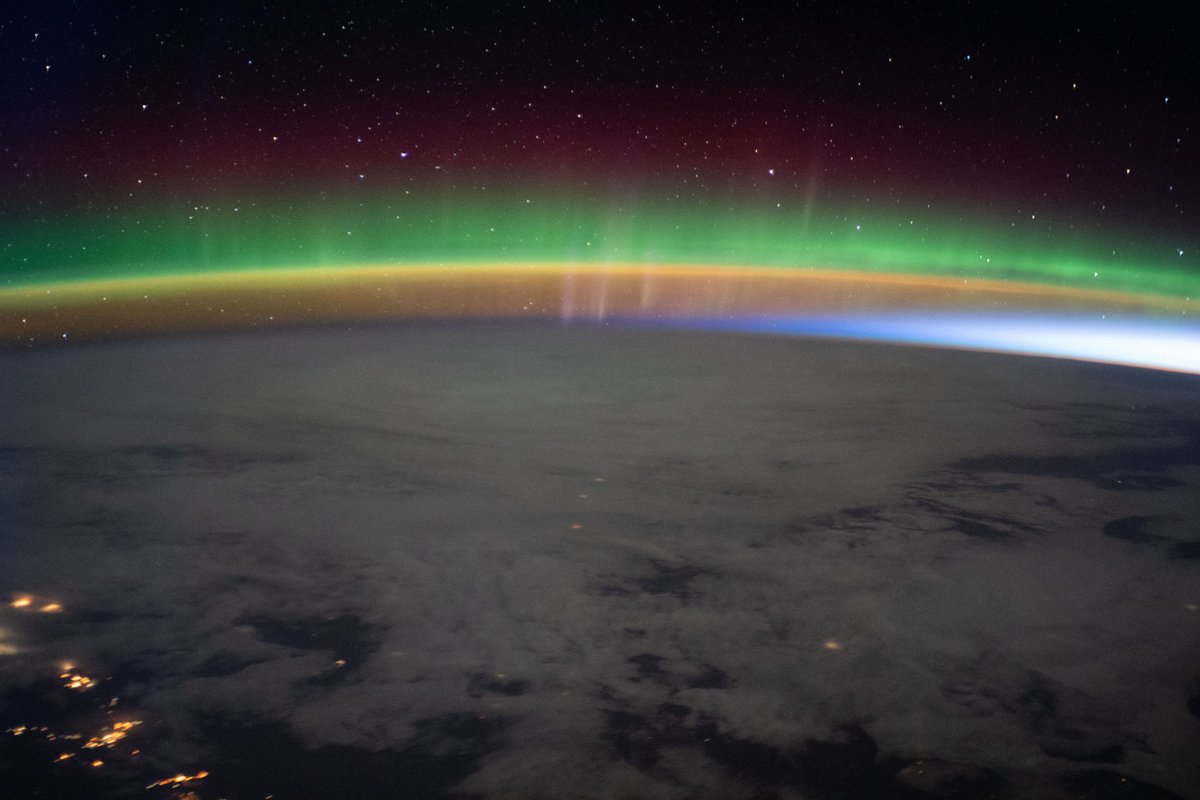
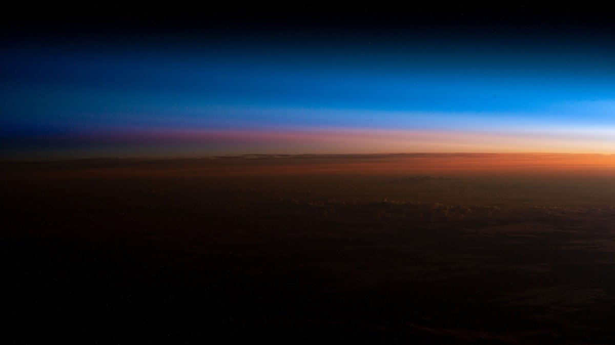
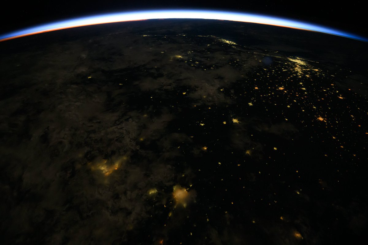
The Exp 72 crew orbited into 2025 experiencing 16 sunrises and sunsets over 250 miles above the Earth. Viewed here are pictures of sunrises taken recently from the orbiting lab.
Join us tonight for our concluding webinar in celebration of GPM's 10th anniversary, where we'll take you behind the scenes of the mission and delve into the future of precipitation measurement!
Thurs. Nov. 14, 8pm ET
Learn more & register: https://t.co/6k48p9b1Us
NASA's IMERG estimated precipitation rates and totals from the extreme rainfall event that recently caused devastating floods in Spain https://t.co/n08dVMgQIL
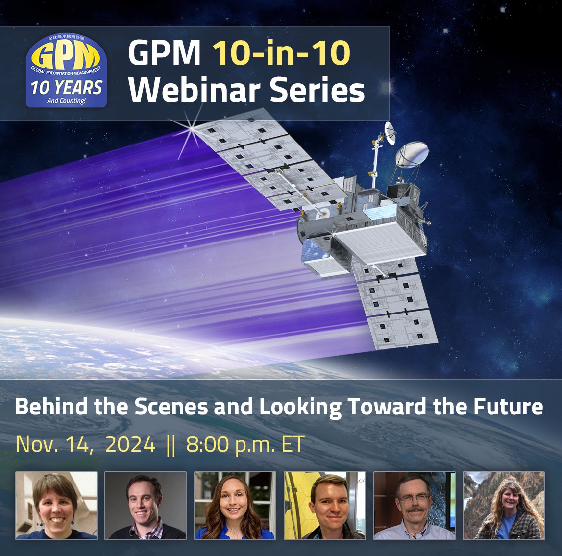
In our final webinar celebrating GPM's 10-year anniversary, join us as we look behind-the-scenes of the mission and explore the future of precipitation measurement!
Thurs. Nov. 14, 8pm ET
Learn more & register: https://t.co/g3n1Bm6aq3
This animation shows Hurricane #Milton before, during, and after it passed over Florida.
Brightness temperature images like these can show the tops of storm clouds during the day and night, even when there is not enough visible light to capture natural-color images.
NASA IMERG captured precipitation rates and totals from Hurricane #Milton as it formed, rapidly intensified, and impacted Florida over the past week
https://t.co/ARNWwhazgR