Join us Tuesday April 28th at 10am via Zoom for our next Cincinnati UAV User Group Meeting.
A zoom meeting invite will be sent out prior to the meeting.
Presentation from Bayer Becker followed by a virtual social.
https://t.co/qb7rlfwnI5
Tomorrow: Cincinnati UAV User group
1840 Simon Kenton Way, Covington, KY 41011
2nd floor training room 9am-10am
Agenda: WebODM Basics, Recurrent Knowledge Test, Networking
Hope to see you there!
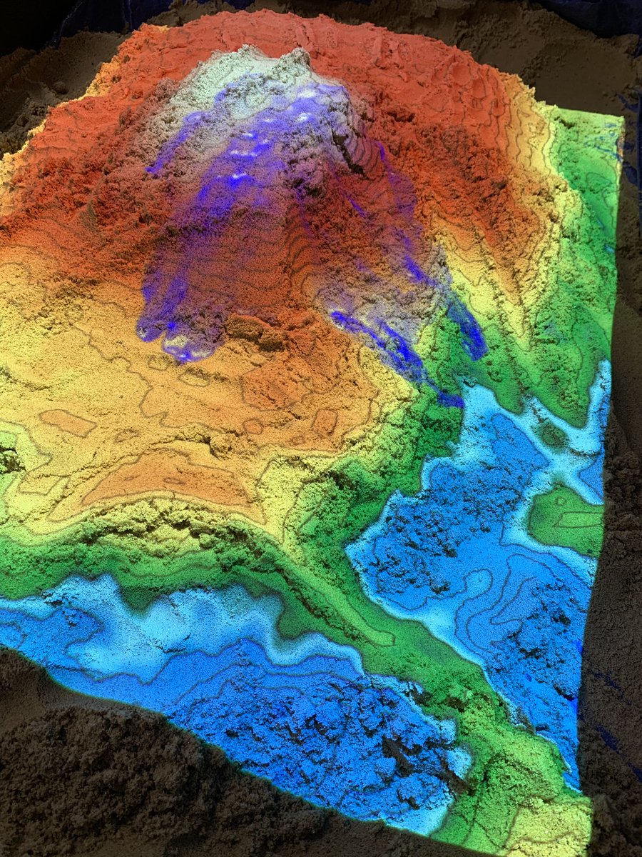
Happy #gisday2019, stop by and see us at the @kentoncounty government center 1st floor lobby from 9-3 to learn about #gis and watersheds with our reality sandbox.
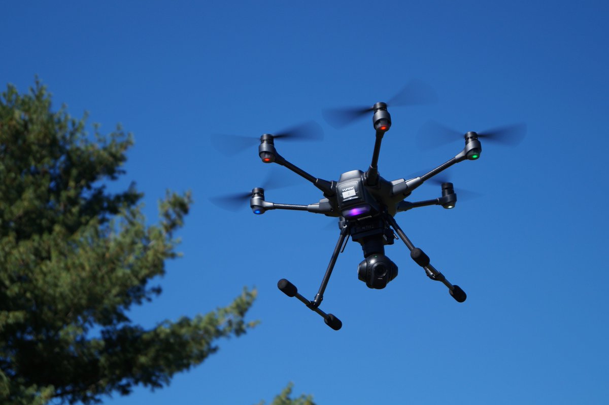
Today is the 2 year anniversary of becoming a #drones pilot. Since then NKYdroneLAB has logged 32+ flight hours and 200+ miles, winning 3 awards from @KyGISConference@APAKentucky and @URISA#ESIG in 2018. Award video here: https://t.co/2wKjFHbpgk #UAV @LINK_GIS @PDSKC
Just passed the #Part107 Recurrent Knowledge Test today. Hard to believe we've been flying #drones for two years. Huge thanks to @jonathanruppre and @3DRobotics#SiteScan for their awesome (and free) study guide and practice tests. #UAV
The first Cinci #UAV User Group will be held at PDS April 24th from 10-12. Register here - https://t.co/1xoAiabt2F
Lets bring together all UAV/#drone pilots both commercial and recreational to exchange ideas, solve problems and promote an understanding in the UAV community.
The first Cinci #UAV User Group will be held at PDS April 24th from 10-12. Register here - https://t.co/1xoAiabt2F
Lets bring together all UAV/#drone pilots both commercial and recreational to exchange ideas, solve problems and promote an understanding in the UAV community.
Get the picture from all sides! The addition of oblique imagery to the LINK-GIS #mapviewer allows you to harness more #GIS power right to your fingertips.
Join the Cincinnati GIS User Group for the first annual #mapathon March 28th from 2-4pm at OKI. https://t.co/NT0hC5qOmU Mapathons are a great opportunity for #GIS professionals to digitally connect and map the most vulnerable places. Please BYOL (Bring Your Own Laptop)
Sometimes you need a big map to see the big picture. @SouthbankCities and the board of directors uses this #map by @LINK_GIS at their headquarters. This #timelapse video shows the installation of the 108” x 132” (9’ x 11’) map. #gis#geospatial#nky#solutions#planning
Water tank inspection using #drones. Keeping personnel safely on the ground while delivering accurate data quickly and efficiently. #UAV#safety#inspections#innovation