High-resolution, 1m #LandCover data is available for the Puget Sound, Rhode Island, Northeast Ohio, Mississippi, and Alabama. Datasets include all applicable land cover classes (up to 20). Use it for flood modeling, water quality, and more!
https://t.co/T6un3jb6qr
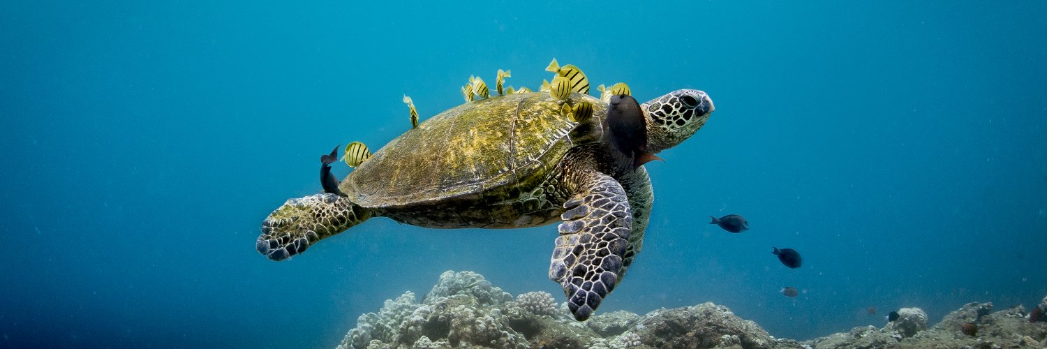
.@NOAA experts say the record-breaking fourth global #CoralBleaching event likely ended in mid-2025 after heat stress impacted 84% of the world’s #CoralReef areas. Scientists are now studying reefs that showed signs of resilience despite the extreme heat exposure.
Although this event appears to have subsided, global heat stress still persists as ocean temperatures remain unusually warm. NOAA is forecasting continued bleaching risks for this summer and fall in the Northern Hemisphere.
Learn more: https://t.co/45rhl3GO7U
#OceanMonth @NOAACoral@CoralReefWatch
The U.S. maritime industry is the backbone of our nation’s economy. For 35 years, NOAA PORTS has delivered critical information that helps maritime commerce move safely and efficiently.
Read more about how PORTS works and supports seaports around the nation: https://t.co/sgUQYMb1MC
Attention! 🚨 Our Get Into Your Sanctuary #PhotoContest is now open!
This year we have ALL NEW categories:
🦈 Life in Motion
🚣♂️Sanctuaries & You
🏝️The Water's Edge
⚓️Ripples from the Past
Submit your photos TODAY until Labor Day, 9/7/2026!
Visit https://t.co/fgqibEPSU4
Modern mariners rely on more than just the stars to navigate–it takes real-time oceanographic data, nautical charts, forecasts and more to safely navigate our nation’s waters. 🛳️⚓
The National Ocean Service is proud to deliver the data and resources that help keep people, property, and the economy moving at the coast. #NationalMaritimeDay
Learn more about how we support navigation at: https://t.co/5ZNaIjQIPb
Playing in the waves is one of the best parts of a Memorial Day beach trip, but even small waves can pack a powerful punch. Learn how to move through them, protect yourself from submerged hazards, and get back to the beach safely: https://t.co/qgJCeAzIGw
NOAA’s @NWS is predicting El Niño is likely to emerge by July 2026 - which could mean more high tide flooding for many locations in the U.S.: https://t.co/9hx2ds0u0q
With support from a 2023 award from the NOAA #MarineDebris Program, the VIMS Nationwide TRAP Program is tackling derelict fishing gear nationwide. From Maryland to California to Florida, teams are removing lost traps. Check out the first year of successes! https://t.co/PQmnYoo9V7
In the latest NOAA Ocean Podcast, we interview Commander John Kidd, who led NOAA’s Navigation Response Teams for the past three years. Hear how these teams get to disaster zones, the coordination and science behind reopening a port after a hurricane, and more here: https://t.co/CsPRkJvsCc
If you work in navigation, shipping, coastal engineering, and the like; or you are a recreational boater, you are using tidal datums daily! 🛥️
Our Center for Operational Oceanographic Products and Services (CO-OPS) is the nation’s official source for tides, water levels, and other oceanographic information. CO-OPS also maintains the nation's official tidal reference framework, known as the National Tidal Datum Epoch (NTDE), which is essential for nautical charting, coastal engineering, international treaty regulation, boundary determination, and more: https://t.co/coZG2Wy2Ny
More photos and preliminary seafloor mapping data are now available from NOAA’s project in federal waters off American Samoa. View initial data linked here: https://t.co/cE9SDMQ3M4
NOAA Ship Thomas Jefferson is surveying in the Great Lakes for the first time since 2022. The vessel and its crew of NOAA Corps officers and professional mariners are working with NOAA scientists to replace data all the way back from the 1940s.
Read more about our plans for the Great Lakes this summer: https://t.co/qbgjtQ6ugu
Waves that break directly on a steep shore can cause serious injuries. Learn how to avoid this common hazard known as shorebreak: https://t.co/WO68cKlKlQ
During the 2026 30th Anniversary of #SanctuaryOceanCount, volunteers from @Hihumpbackwhale and @PacificWhale counted humpback whales over the course of three designated days. 🐋
👉Check out the data collected during this annual #CitizenScience program: https://t.co/iHBeKypclS
Happy Earth Day! Today is dedicated to raising awareness about environmental issues & taking action in support of planet Earth, while celebrating those who work to protect it. It’s a team effort, so we put some resources together to help you get involved. https://t.co/j3BTzqB0nS
April is #CitizenScienceMonth, and @NOAA has launched a new, searchable catalog of citizen science projects to connect volunteers with research opportunities across the country! Find a project that works for you and get started: https://t.co/buTHLoxGXo #ActsOfScience
NOAA is monitoring water levels and winds for Typhoon Sinlaku, heading towards the Marianas. View real-time water level and meteorological data. https://t.co/MzXv1pZVwJ
Available now: new ocean economics data!
NOAA’s Open ENOW dataset is now available for download. This spans the years 2001-2024, and covers the national and state level.
Explore it here: https://t.co/nj02rSy804