NS Gov is committed to mapping excellence & putting geographic data into the hands of the user. Twitter acct is not monitored. Contact: [email protected]
New orthophotography is available for parts of Nova Scotia! 📸🗺️
Updated with 2024 imagery for Eastern NS and 2025 imagery for Southwestern NS.
Over 25,000 km² refreshed!
Order tiles: 🔗https://t.co/JAvMmhNDmJ
Info: 📩[email protected]#NovaScotia#GIS#Geomatics
🚨 2025 aerial photography is now available.
New imagery, including near-infrared data captured in summer 2025, is ready to explore!
Digital index: 🔗 https://t.co/JAvMmhNDmJ
For copies or questions: 📩 [email protected]#NovaScotia#GIS
Just dropped: 306 brand-new high-res orthophotos from Nova Scotia’s 2023 & 2024 aerial campaigns! Explore stunning detail in the new products. Want digital or hardcopy prints? Send us an email at [email protected] 📸 #NovaScotia#AerialPhotos
New Aerial Photography from 2023 & 2024 covering 44% of the province is now available! Use DataLocator to find your photo or email us at [email protected].
https://t.co/JAvMmhNDmJ
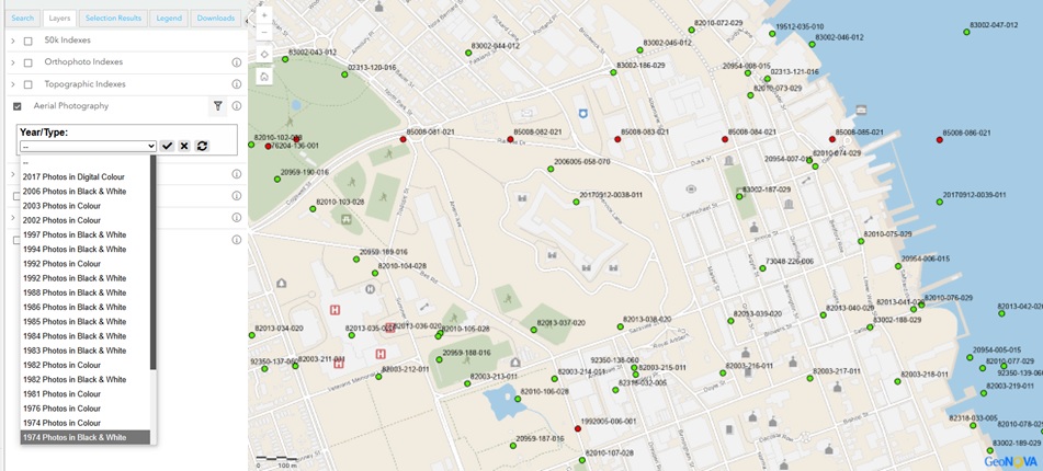
Looking for aerial photography in Nova Scotia? Use DataLocator to find the photo you are looking for. Aerial Photography 1950's to present available!
https://t.co/JAvMmhNDmJ
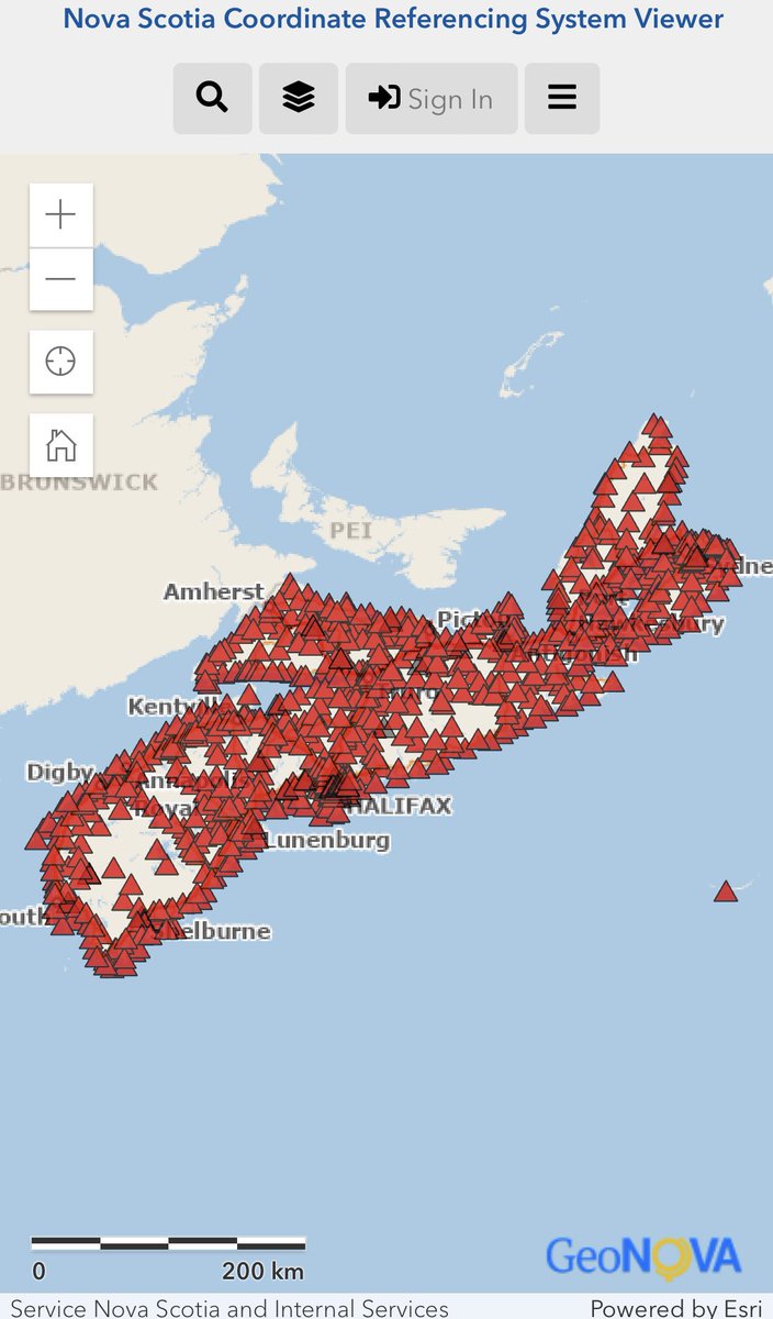
The Nova Scotia Coordinate Referencing System has just released the new version of the Coordinate Referencing Viewer. This version will allow users to access the viewer on mobile platforms for better use in the field. Find the new version of the viewer on the GeoNOVA website.
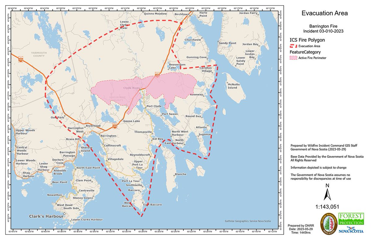
This a mid-day map of the active fire area (in pink) and the evacuation perimeter (red line) in the Barrington area. The public is not permitted in the area.
For further information regarding evacuations and comfort centres, visit https://t.co/21SzdjlCnq
Orthophotography from the Province’s 2022 aerial photography campaign is now available. Email [email protected] to purchase a digital or hardcopy print.
New Geographic Name – Bissett Brook, Halifax County. A brook located at 44°39’49” – 63°28’30”, historically and locally known as Bissett Brook was named to commemorate some of the earliest settler families to the area dating back to the 1870s. https://t.co/iAuUKbn1ZH
Geographic Names change: The following names previously known as Borgels in Lunenburg County, were approved for renaming: Borgald’s Big Cove, Borgald’s Island, Borgald’s Island Stillwater, Borgald’s Little Cove, Borgald’s Point (cape), Borgald’s Point (area) & Borgald’s Pond.
NEW Geographic Name – Owl Cove, Queens County. A cove located at 44°21’05” – 64°49’47” in Molega Lake has been approved to be named Owl Cove.
You can learn more about all of Nova Scotia’s official names here: https://t.co/sz73CASmst
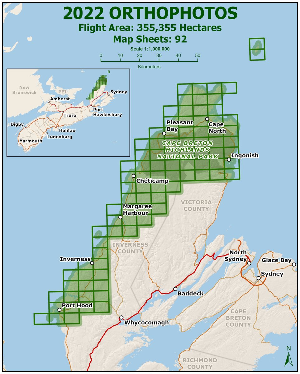
Aerial Photography from 2022 is now available for a portion of Victoria & Inverness counties. Email [email protected] to purchase a digital copy, or to order a printed photo or enlargement. Custom orders are our specialty! [Photo is from 2022 - Inverness Beach]
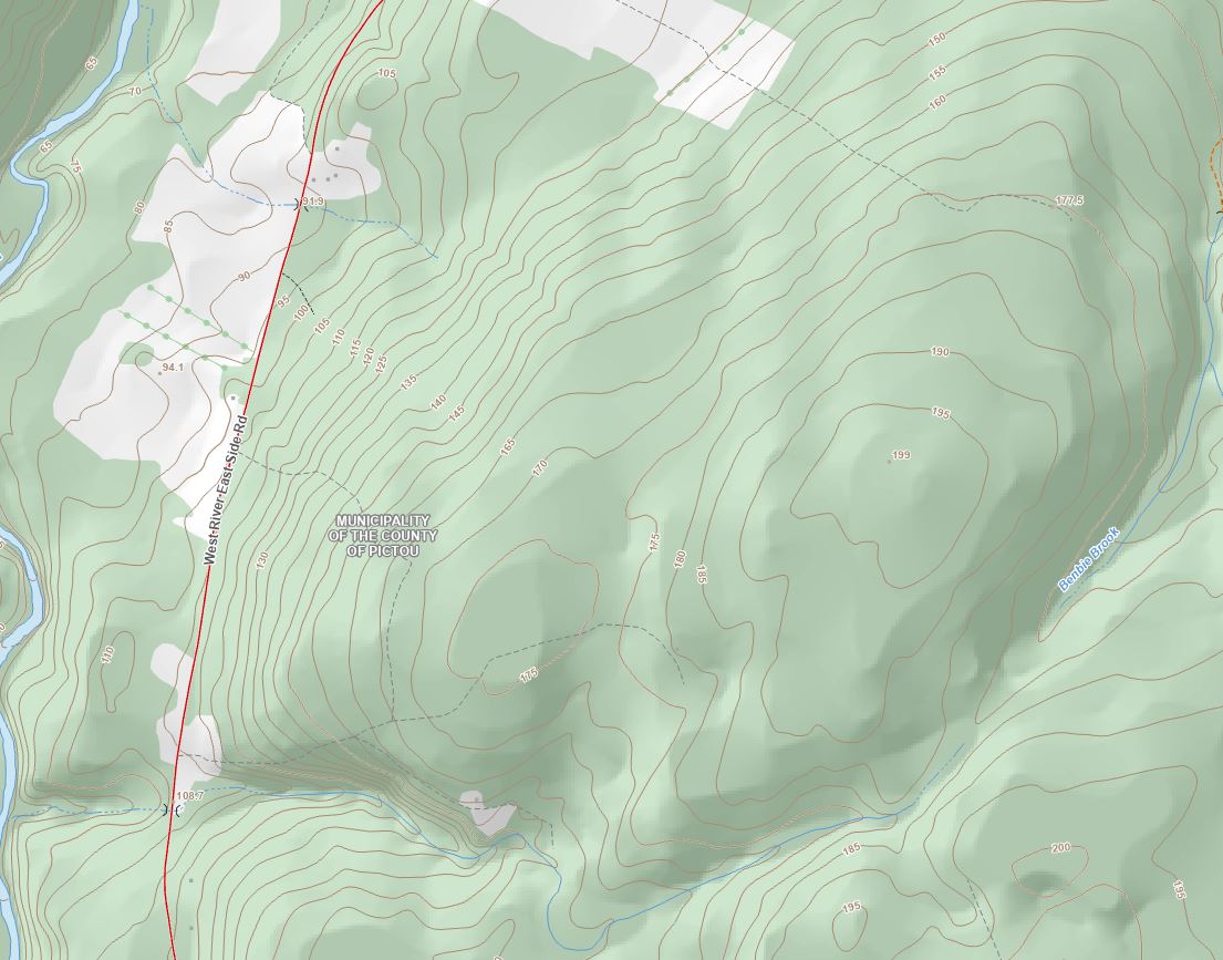
A new provincial contour dataset derived from 1m resolution LiDAR DEM’s is now available for distribution as part of the NSTDB in NAD83(CSRS)v6 UTM Zone 20, CGVD2013. For more details check out the latest news at https://t.co/rjKsG8XzLr
NEW Geographic Place Name – Christian Isle, Halifax County.
An island located at 44°31’16” -63°46’10” has been approved to be named Christian Isle. Named after original settlers, the Christian family was one of the first to settle in the area, dating back to the 1700s.
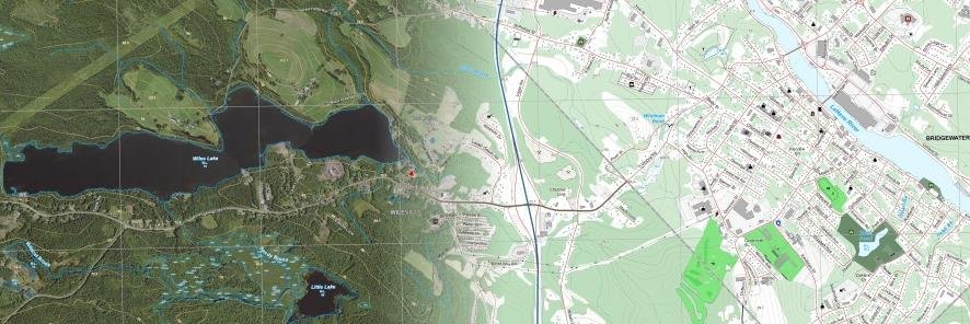
New product release! Nova Scotia Topographic Map - Georeferenced Images. New raster topo maps are available for download in DataLocator. https://t.co/jHmmhfcSTI
Geographic Place Name change rejected-Moosehead, Halifax County. Approval was rejected in renaming the community of Moosehead to Moose Head. The official decision was signed 2 September 2021. Community retains Moosehead as its name.
New Commemorative Geographic Place Name-Billy Boudreau Brook, Pictou County. Named to commemorate Chief petty officer, 2nd class William Alfred Boudreau who died 23 October 1969 as a result of an explosion and fire on board HMCS Kootenay.
The Geomatics Centre in Amherst, Nova Scotia is closed due to a power outage. We will reopen January 19, at 8:30am. Email [email protected] for any inquiries you may have and we will respond as soon as possible. Thank you.


![NSGeoNOVA's tweet photo. Aerial Photography from 2022 is now available for a portion of Victoria & Inverness counties. Email geoinfo@novascotia.ca to purchase a digital copy, or to order a printed photo or enlargement. Custom orders are our specialty! [Photo is from 2022 - Inverness Beach] https://t.co/71CO68MuhX](https://pbs.twimg.com/media/Fjd1vhrWQAI1FOf.jpg)