Some wispy clouds and temps in the 40’s to start your Sunday. Pleasant weather to start our week - sunny with highs in lower 70’s and lows around 50. #njwx#njweather
Cold front has pushed through the area and will leave us with mostly sunny and seasonal temps over the weekend - highs in upper 50’s, lows in mid 30’s. Big warmup for us next week as dry weather continues. #njwx#njweather
Our Nor’Easter making a slow exit today / you can see how far off shore the center of the storm is yet we will still see snow through midday. The monster snow accumulations stayed to our east with this storm but still a solid 8-12” for most of us. #njwx#njweather#blizzard
Radar shows rain, ground verification says snow. We’re just getting started - accumulating snow won’t arrive until later this afternoon. Bulk of snow will fall between 5pm Sunday through late morning Monday. #njwx#njweather
Graphic uses NOAA's SPC SREF (Short Range Ensemble Forecast) to show spread of different models run with slightly different inputs to give an idea of the certainty of the forecast. The spread is from 7" to 24" with 17" being the "mean". Lets see how it plays out. #njwx#njweather
You are looking at one of many short/mid range mesoscale models showing the precipitation shield forecast for 7:00am Monday morning. Most models in agreement for major winter storm Sunday afternoon through Monday morning. Accumulations upwards of 12” possible. #njwx#njweather
Winter Weather Advisory for snow/ice tonight into Friday. Nothing major, but something to be aware of, especially the further NW you are Friday morning. #njwx#njweather
@myWeatherNJ It has been having issues for almost 2 weeks. Official status: “FTMDIX - MESSAGE DATE: FEB 14 2026 22:24
KDIX REMAINS INOPERABLE. ETS WERE UNABLE TO TROUBLESHOOT SUCCESSFULLY. RTS UNKNOWN.”
Accumulating snow has come to an end and now the cleanup begins. Shown here are the 8’+ snow piles in White Deer Plaza at Lake Mohawk (Sparta), NJ. Reinforcement of cold air will keep us below freezing until at least this coming weekend. #njwx#njweather
Snow continuing for most of Sussex County but sleet has moved into parts of Morris and Warren Counties. Precipitation continues through this evening. 12”+ of snow so far for those of us who have remained all snow. #njwx#njweather
Snow continue to pile up this morning. We'll watch for some mixing later today but for now it is heavy snow through early afternoon with rates of 1-2"/hour expected. #njwx#njweather https://t.co/71ebMLYzAx
Snow to start for us between 5-8am from SW to NE Sunday and continue through mid-afternoon when a changeover to sleet is looking more likely for most of us. Models have been showing the upper levels of atmosphere warming further north with each run. #njweather#njwx
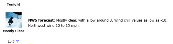
Before we get to Sunday, lets deal with tonight. Arctic air mass will settle over us, dropping temps to just above ZERO for many of us with gusty NW winds upwards of 30mph allowing wind chill temps to go negative tonight. Sunny Saturday. Snow/Sleet follow Sunday. #njwx#njweather
As more data comes in, we will see the watches, warnings and predictions for snow amounts start trickling in. Too early to be predicting snow amounts to the nearest inch, but significant winter weather is on the way for us Sun-Mon. #njwx#njweather https://t.co/71ebMLYzAx
A little light snow will push through our area this evening - just a light dusting of anything. Sunday/Monday winter event looks imminent- details to follow as we get closer but safe to say impactful winter weather for last half of weekend. #njweather#njwx
@nynjpaweather@WFAN660@WFANmornings This sentiment that only certain people are allowed to talk about, analyze and forecast the weather is absurd. We all have interests and knowledge in a variety of subjects and it's ok to discuss them. The public can choose who they listen to - don't need weather police.