#WinterPrep Week:
Is your home ready for an ice storm? Ice storms can cause power outages that can last several days and pose a threat to tree branches and anything underneath.
https://t.co/sz5Hgfi5oh
#ILwx#INwx
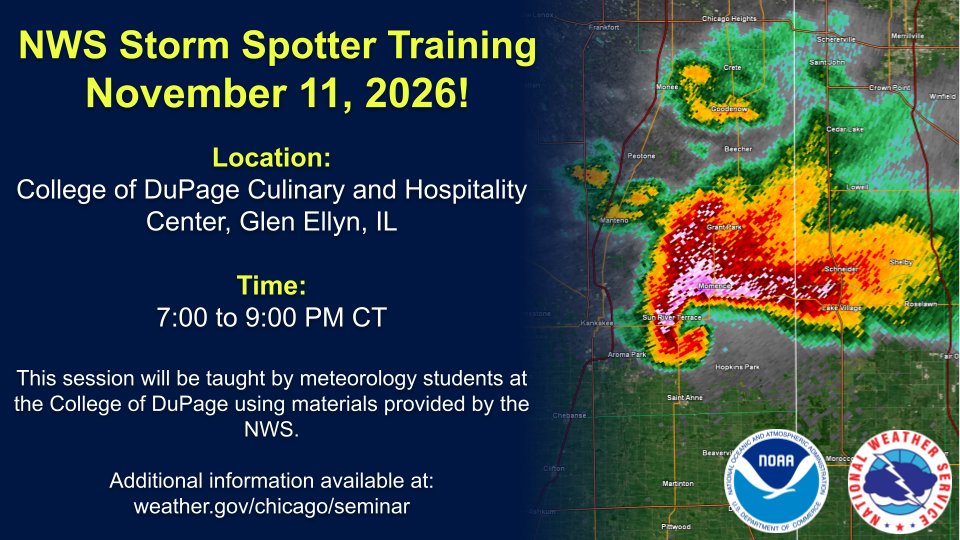
Looking for something to do tonight? Meteorology students at College of DuPage are putting on an in-person storm spotting session in Glen Ellyn! It's free and open to the public. Additional details are below.
We're teaming up with meteorology students at the College of DuPage to put on an in-person storm spotter course in November! Here are the details:
https://t.co/gOOeNzM1bC
#WinterPrep Week:
Shoveling snow can be a health risk. Remember to stay hydrated, take frequent breaks, and move only small amounts with each shovel pass.
https://t.co/sz5HgfhxyJ
#ILwx#INwx
Here's a look at approximate timing of lake effect showers expected Thursday through Friday night. Snow will mix in at times and may lead to slushy accumulations on grassy and elevated surfaces, mainly at night into portions of NW Indiana away from the lake. #ILwx#INwx
Chilly weather settles into the region through the end of the week with a multi-day stretch of lake effect rain showers expected, at times mixed with or changing over to snow. #ILwx#INwx
Showers will continue areawide through early evening (6-7 PM CST) with a few isolated t-storms possible near and south of the Kankakee River Valley. The main threat with any storms will be lightning strikes and localized downpours, so remember when roars go indoors! #ILwx#INwx
#WinterPrep Week:
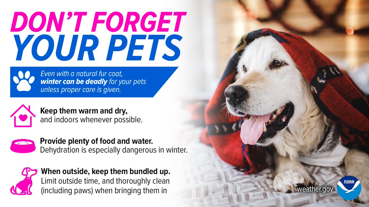
Don't forget about your pets this winter! Make sure they have a warm, dry place to rest with plenty of food and water.
https://t.co/sz5Hgfi5oh
#ILwx#INwx
#WinterPrep Week:
Prepare your home for winter weather emergencies! Winter storms can knock out power and keep you from traveling for days. Keep enough non-perishable food, water, medications for at least 3 days.
https://t.co/sz5Hgfi5oh
#ILwx#INwx
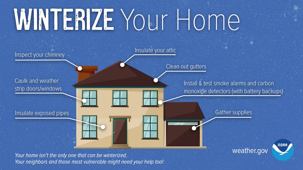
#WinterPrep Week:
As winter approaches, there are steps you can take to prepare your home for the cold weather ahead.
https://t.co/sz5Hgfi5oh
#ILwx#INwx
Scattered showers are expected to move in after 10 AM through early evening with a threat of isolated t-storms near and south of a Dixon, IL to Rensselaer, IN line. Lightning will be the primary hazard, though locally gusty winds and small hail can't be ruled out. #ILwx#INwx
@Tennisbear2001 Its most likely some larger cloud droplets being picked up by the radar, but it is not precipitation. However, the radar returns near and west of the Mississippi River is actual rain and that will be moving into the area later this morning.
🧵(1/2) Scattered showers will move through the area today and may produce a few lightning strikes south of I-80. Cooler air settles into the region through the end of the week with a multi-day stretch of lake effect rain showers expected, at times mixed with snow. #ILwx#INwx
🧵(2/2) Here's an early look at approximate timing of the lake effect showers Thursday through Friday night. Snow will mix in at times and may lead to slushy accumulations on grassy and elevated surfaces, mainly at night into portions of NW Indiana away from the lake. #ILwx#INwx
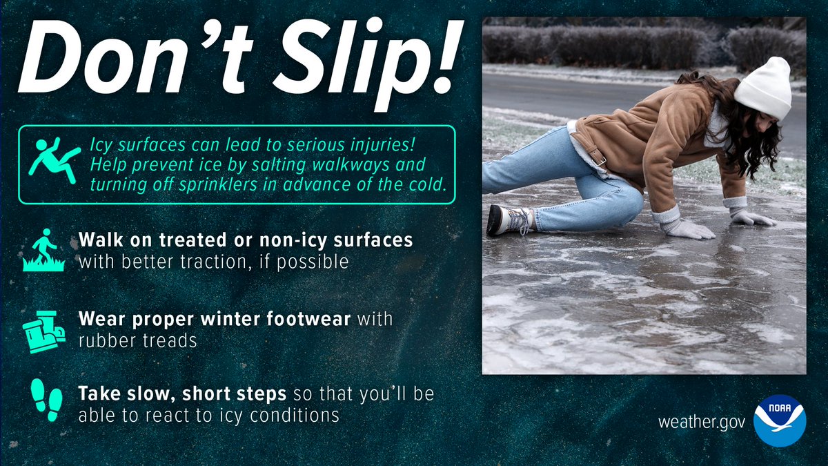
#WinterPrep Week:
Slipping on an icy sidewalk can lead to serious injuries or even death, especially for the elderly. Help prevent the formation of ice by salting walkways and take it slow and wear proper winter footwear when outdoors.
https://t.co/sz5Hgfi5oh
#ILwx#INwx
#WinterPrep Week:
Freezing drizzle can cause difficult-to-see ice to form on roads, creating very dangerous travel conditions. When it’s drizzling in the winter, slow down! Don’t let freezing drizzle sneak up on you.
https://t.co/sz5HgfhxyJ
#ILwx#INwx
#WinterPrep Week:
Snow squalls are extremely dangerous while on the road. The NWS helps you be #WeatherReady by issuing Snow Squall Warnings that can trigger a Wireless Emergency Alert on your phone. When issued, slow down or delay travel.
https://t.co/sz5HgfhxyJ
#ILwx#INwx
#WinterPrep Week:
Forecasting precipitation types in the winter can be challenging and is influenced by temperatures at and above the ground! Will there be rain, ice, sleet, or snow? Find out how wintry pecip forms:https://t.co/3eNBMHkDzN
https://t.co/sz5Hgfi5oh
#ILwx#INwx
#WinterPrep Week:
Lake Effect snow occurs when cold air moves across warmer water. Warmth and moisture rise into the air, condensing into clouds that can produce 2 to 3 inches of snow per hour or more.
https://t.co/sz5HgfhxyJ
#ILwx#INwx