We will be postponing the weekly weather radio test due to thunderstorms in the area. We will tentatively reschedule for tomorrow at 11am, but with thunderstorms in the forecast again, it may be postponed further.
The chance for showers and thunderstorms can be expected daily through the period with the best chances being Thursday and Friday. Highs ranging from the mid 80s along the coast to the low to mid 90s across the Brush Country. Lows generally in the 70s.
Scattered to numerous showers and thunderstorms can be expected. Rain chances range from 20% across the Rio Grande Plains to 70% across the inland Coastal Plains. Skies will be mostly cloudy with highs around 90 west to mid 80s along the coast. East winds 5-15 mph.
Expect scattered to numerous showers and storms, mainly in the morning, becoming partly cloudy by afternoon. There is a LOW risk of rip currents. Please remember, a low risk does not mean no risk. Use caution if entering the waters, and remember "wave, yell, swim parallel."
Isolated showers or thunderstorms can be expected along the coast this morning, becoming scattered along the sea breeze this afternoon. Skies will be partly cloudy with highs in the mid 90s west to mid 80s along the coast. East winds 5-10 mph.
Skies will become mostly cloudy late tonight. Isolated showers or thunderstorms will be possible overnight. Lows in the low to mid 70s. Winds will be light and variable.
The forecast for the Middle Texas Coast. Expect mostly sunny skies by afternoon along with a LOW risk of rip currents. Please remember, a low risk does not mean no risk. Use caution if entering the waters, and remember "wave, yell, swim parallel."
The chance for showers and thunderstorms can be expected daily through the period. Highs ranging from the mid 80s along the coast to the low to mid 90s across the Brush Country. Lows generally in the 70s.
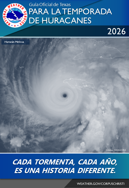
Today, June 1, is the first day of hurricane season. It is forecast to be a below normal season, but we still need to be prepared because it only takes one storm into our area to have significant impacts. Check out this year's hurricane guide for more. https://t.co/bJU54i31Eg
Mostly cloudy skies this morning will become partly cloudy this afternoon. Highs will be in the mid 90s west to mid 80s along the coast. Southeast winds 5-15 mph.
If you are heading to the beach today, you can expect mostly sunny skies by afternoon along with a LOW risk of rip currents. Please remember, a low risk does not mean no risk. Use caution if entering the waters, and remember "wave, yell, swim parallel."
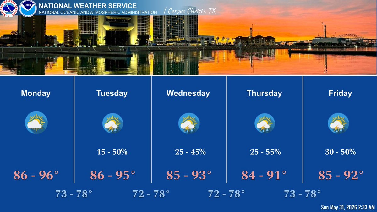
Low to medium rain chances expected Tuesday, then increasing to a medium chances through the week. Highs ranging from the mid 80s to mid 90s with lows in the 70s.
The NOAA Weather Radar transmitter for Corpus Christi (162.550 MHz) will be down through at least Monday, June 1st while technicians wait for a part needed for an urgent repair. Please use the Riviera transmitter (162.525 MHz) during the outage.
When at the beach, swim where there are lifeguards and never swim alone. If caught in a rip, relax and call for help and swim along the shoreline. Remain hydrated and use sunscreen. Be aware of the weather.
The NOAA Weather Radar transmitter for Corpus Christi (162.550 MHz) will be down through at least Monday, June 1st while technicians wait for a part needed for an urgent repair. Please use the Riviera transmitter (162.525 MHz) during the outage.
Very low rain chances return Monday, then increasing to low to medium chances through the work week. Highs ranging from the mid 80s to mid 90s with lows in the 70s.