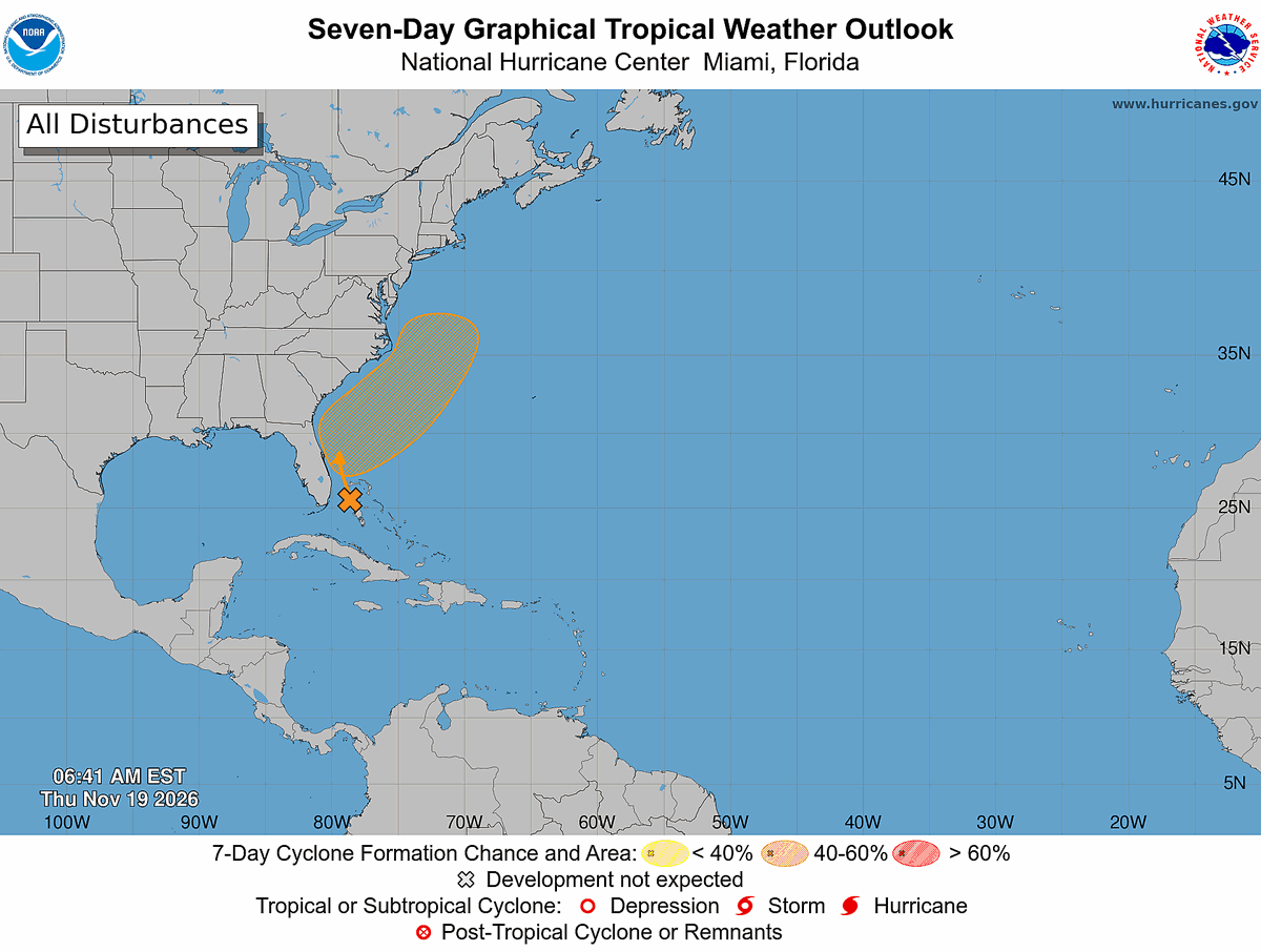
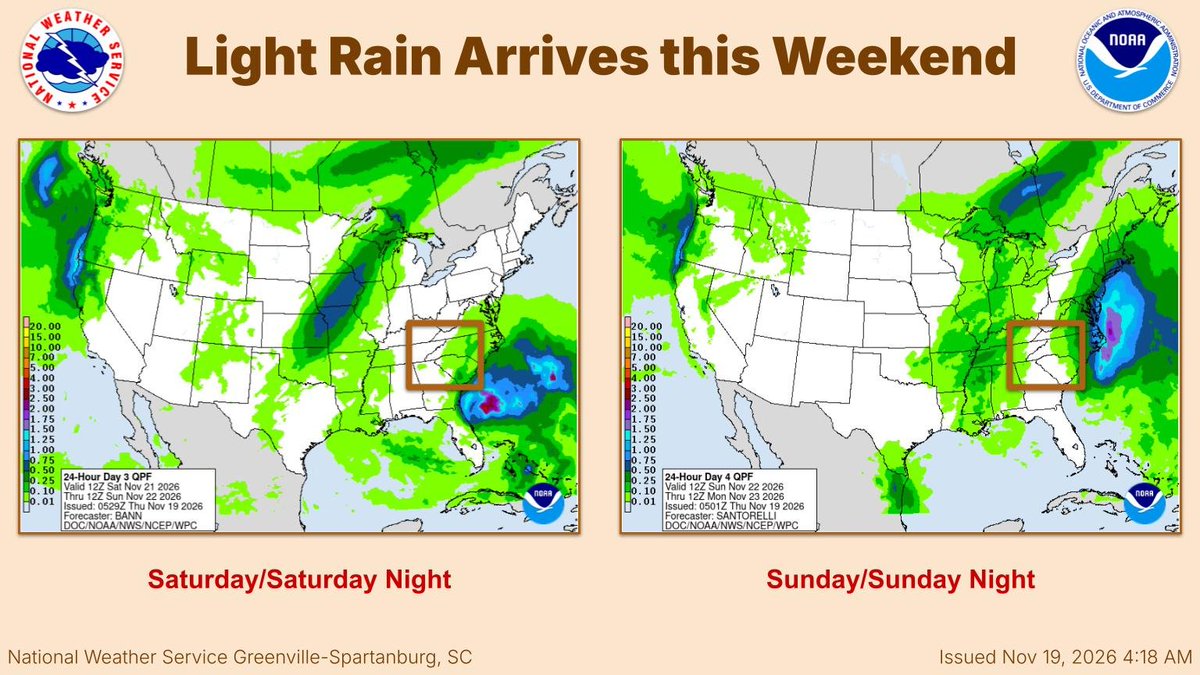
An area of interest has a 60% chance of becoming subtropical or tropical as it tracks northeast along the Carolina coast this weekend. Rain and gusty winds will remain near the coast, with little impact for the western Carolinas or northeast GA.
#ncwx#scwx#gawx
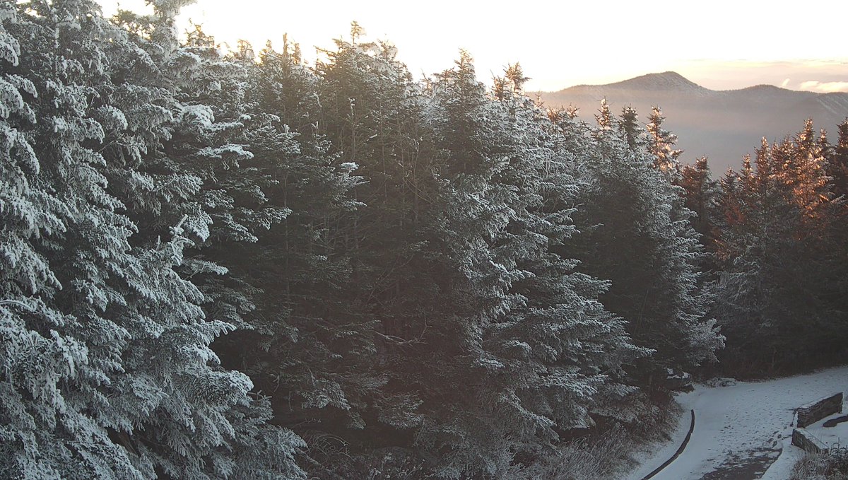
❄️ ON THIS DATE, 26 YEARS AGO: An early-season winter storm brought accumulating snow to northeast Georgia and the western Carolinas! Most locations north of I-85 received 1–3", while portions of the central and southern NC mountains picked up more than 4".
#ncwx#scwx#gawx
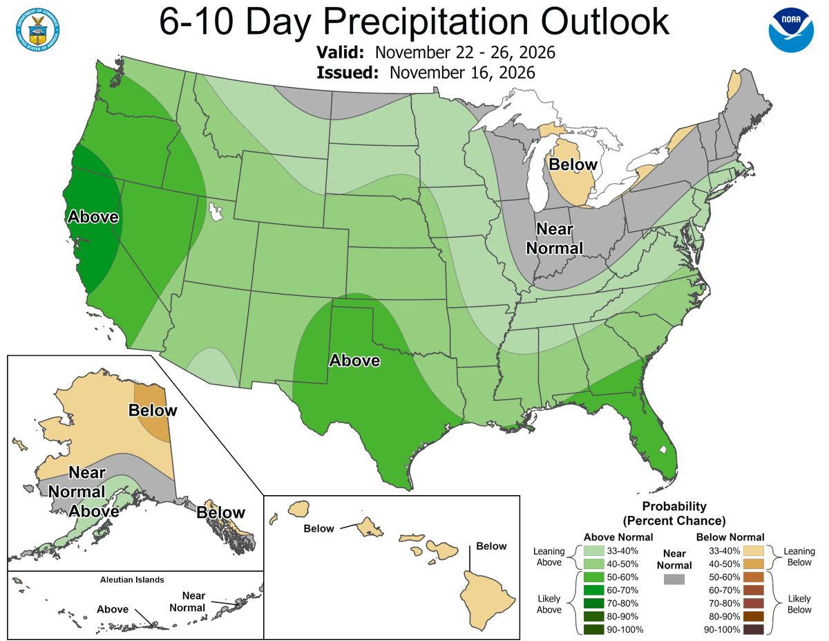
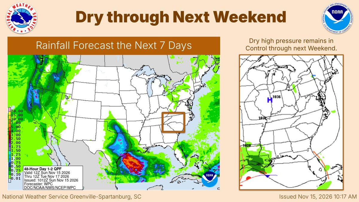
Low-end rain chances return by Saturday afternoon, mainly along the I-77 corridor. Current rainfall estimates are only around a tenth of an inch or less. Dry weather returns by Sunday night.
🌎 Did you feel it? A magnitude 2.2 earthquake was recorded near Cleveland in Rowan County, NC, at 11:05 PM Tuesday night (November 17th).
Were you able to feel the shaking? Let us know where you were!
Image Credit: U.S. Geological Survey (USGS)
#ncwx
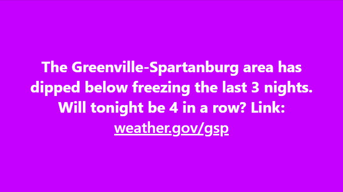
Not quite as chilly tonight! Overnight lows will dip into the 30s and lower 40s, marking the start of a gradual warming trend that will bring above-normal nighttime temperatures over the next few nights.
#NWSGSP#NCwx#SCwx#GAwx
Dry and mild weather is on tap for today! Expect plenty of sunshine across the region with seasonable afternoon highs reaching the upper 50s to low 60s in the mountains and mid-60s across the Piedmont and Upstate. #NWSGSP#NCwx#SCwx#GAwx
❄️ ON THIS DATE, 18 YEARS AGO: Winter made another appearance in the North Carolina mountains! The second round of northwest flow snow that week brought 3–4 inches of accumulation to the higher elevations along the Tennessee border.
#ncwx
@JPonthehill Awesome! We will reach out to you during future northwest events. Do you have an email we can put on file and an approximate elevation for your location?
TODAY: A nationwide emergency alert test will air on radios and TVs. This test was prescheduled and will last approximately one minute. No action is needed.
Test time ⤵️
2:20 p.m. ET
1:20 p.m. CT
12:20 p.m. MT
11:20 a.m. PT
10:20 a.m. AKT
8:20 a.m. HT
🔗 https://t.co/e3WC2BuyAf
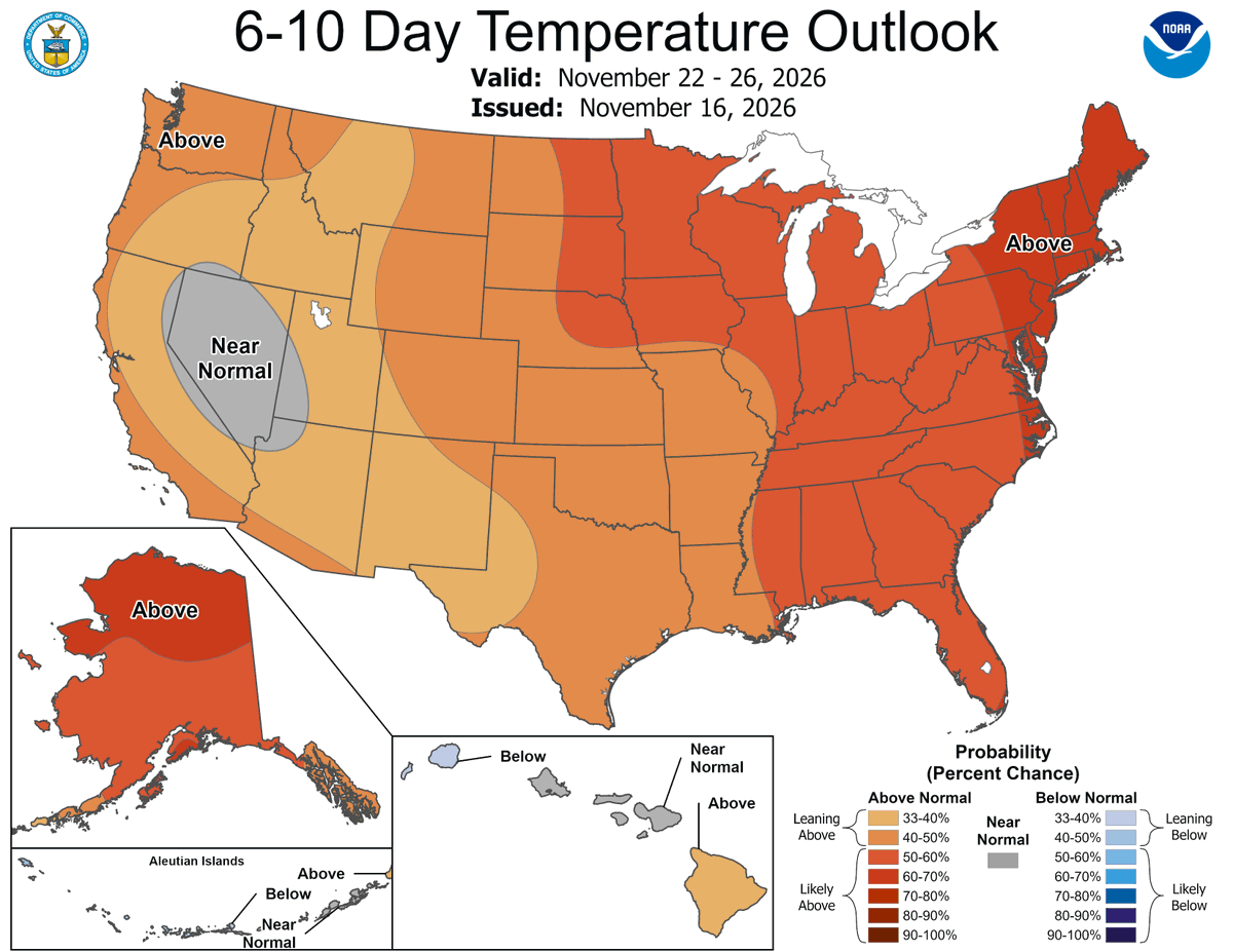
Temperatures will trend warmer through the end of the week. The weather pattern may become more active by the middle of next week. Details are still murky as to how much impact any storm system may have for Thanksgiving travel.
#gawx#scwx#ncwx
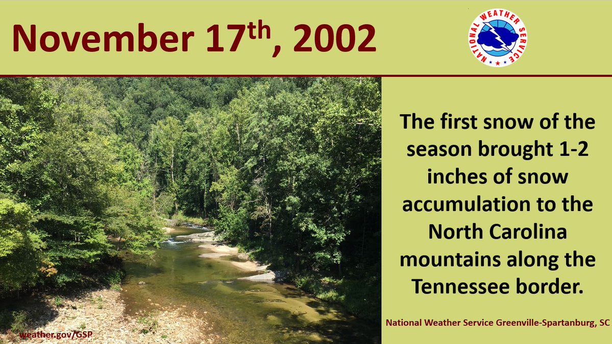
❄️ ON THIS DATE, 24 YEARS AGO: The first snow of the season brought 1–2 inches of accumulation to the NC mountains along the Tennessee border! A reminder that winter weather can make an appearance in the higher elevations well before December.
#ncwx
TEST: At 2:20 pm Tuesday, November 17, there will be a nationwide test of the Emergency Alert System. This WILL interrupt TV and AM/FM/satellite radio, but WILL NOT trigger NOAA Weather Radio, since we test that each Wednesday. More info: https://t.co/xrk562nl1c
Dry with a warming trend ahead for the region through the weekend with some locations east of the mountains climbing into the 70s by Thursday. Rain chances may return Saturday but confidence is low. #NCWX#SCWX#GAWX
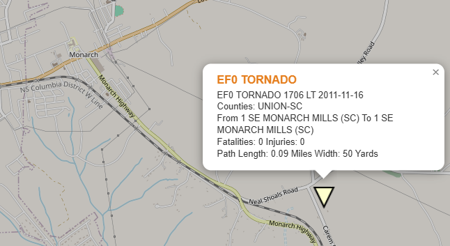
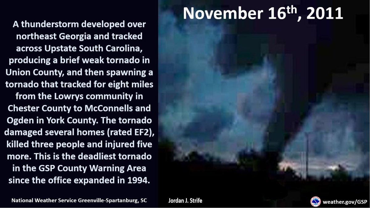
🌪️ ON THIS DATE, 15 YEARS AGO: 2 tornadoes struck Upstate SC, including a deadly EF2 that tracked from Chester into York County. Tragically, three people were killed and five injured, making it the deadliest tornado in the NWS GSP forecast area since its expansion in 1994.
#scwx
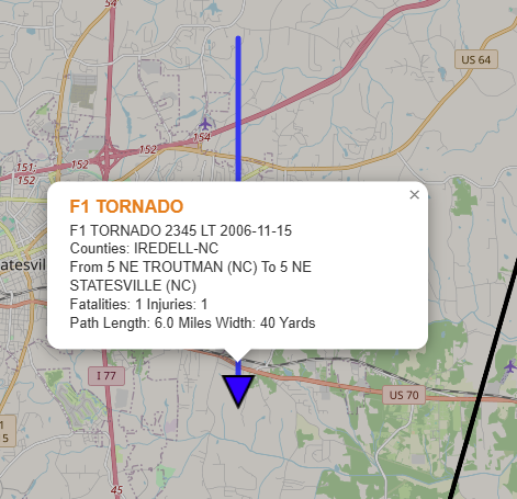
🌪️ ON THIS DATE, 20 YEARS AGO: Four tornadoes struck the western NC Piedmont, including an F2 near Lake Norman. A tornado near Statesville tragically killed one person and injured another.
#ncwx