Well, well, well. Models are predicting rain- not showers- Saturday evening. Outliers are saying anywhere between 1/4” to 1”- so let’s just say MAYBE 1/2” will fall. Still a ways away but hopefully it’s a good start to our winter.
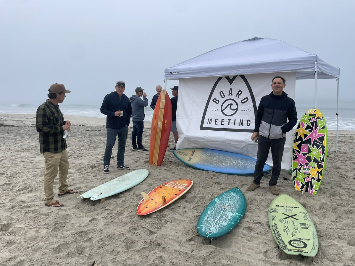
Thanks to everyone that came out today to our Halloween Surf-O-Rama! Saw some killer boards. Next up is our evening mixer @caveswineshop November 21st. Details coming soon!
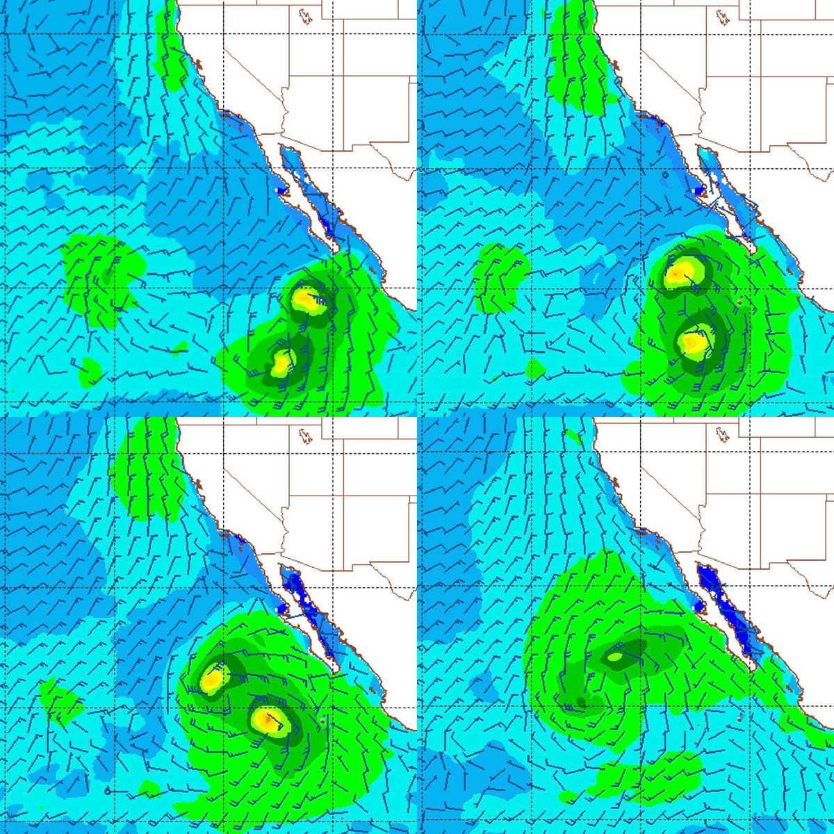
What the what?! Looks like Hurricane Kristy is a brewin’ AND we’ve got low pressure off Nor-Cal. Hoping to see good surf late in the weekend & peaking Monday…
What the what?! Looks like Hurricane Kristy is a brewin’ AND we’ve got low pressure off Nor-Cal. Hoping to see good surf late in the weekend & peaking Monday…
Fall is in full swing. Slight chance of showers Thursday afternoon/night and breezy. Not much- maybe 1/10”. Then sunny and light offshores Friday/Saturday. May see some NW wind/groundswell on Friday too.
Just a touch of leftover SW this morning but some buoys are showing 20 second readings of the new SW swell. Best bet is late today or just wait ‘til tomorrow when it fills in more with the new NW too.
Constant NW winds the past couple weeks has dropped our water temps from 78 degrees on 9/8 to 59 degrees on 9/30. From boardshorts to a 4/3 in the blink of an eye!
The rumors are true: summer is over. 2 cold fronts will sweep through Sunday night & Thursday. Only 1/10” of rain but breezy and cool. Fall will arrive 4 days early…
Attention business professionals who love to surf! Join us @ Fox Point Farms to get a behind the scenes tour and Q&A of this unique retail/dining/brewery. Parking is limited, so please carpool, walk, bike, or park on the adjacent street Paseo De Las Flores.
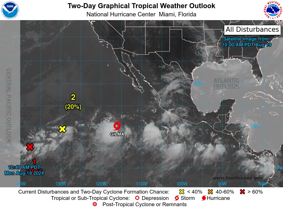
Hurricane Gilma continues to outperform- models now suggest it will hit 115mph tomorrow. If so we could see small but fun surf fill in Thursday afternoon and peak Friday. The OC will be bigger of course. Regardless, our water temps are 75+ too; should be fun.
Tropical Storm Gilma continues to slowly develop. Winds may peak at minimal cat. 1 status. If so, we may see waist high+ surf Thurs/Fri- with the OC being bigger of course.
Still small combo swell this morning but there are some 18 second readings on the buoys from that new SW. Should see better waves tomorrow. Good news? Water is 73 and the weather is tropical.
Looks like Emilia will peak as a tropical storm with 70 mph winds. We still should see small but fun 2-4’ surf late Thursday into Friday morning. Behind that is NW windswell on Sunday with increasing SW groundswell for shoulder high sets towards Monday. Water temps are around 70.
Emilia and Fabio are starting to organize better. May hit minimal hurricane status later today. Doesn’t sound impressive but they’re aimed at us & moving north. Hoping for fun S swell late Thursday-early Saturday. And our water is warming up!
All kinds of storms out there. Unfortunately, nothing major. What may happen though is Fabio merging with Emilia & we could get a Cat. 1 hurricane mid-week which would move N. That would send fun S late in the week. Let’s hope. If not, we still have good SW around the 11th
Tropical Storm Carlotta is slowly intensifying tonight and may peak at 100 mph. Not the biggest storm but N County SD could see waist high waves late Sunday/early Monday and chest high towards HB.