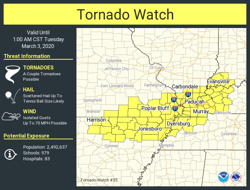
A Slight Risk of severe storms is outlooked for west Kentucky and southwest Indiana Thursday morning. Most of southern Illinois and southeast Missouri are in a Marginal Risk.
Strong to severe storms are possible across the region Wednesday night and through the day Thursday
Damaging winds will be the main threat, although cannot rule out localized flooding, isolated tornadoes, and hail
#KYwx#INwx
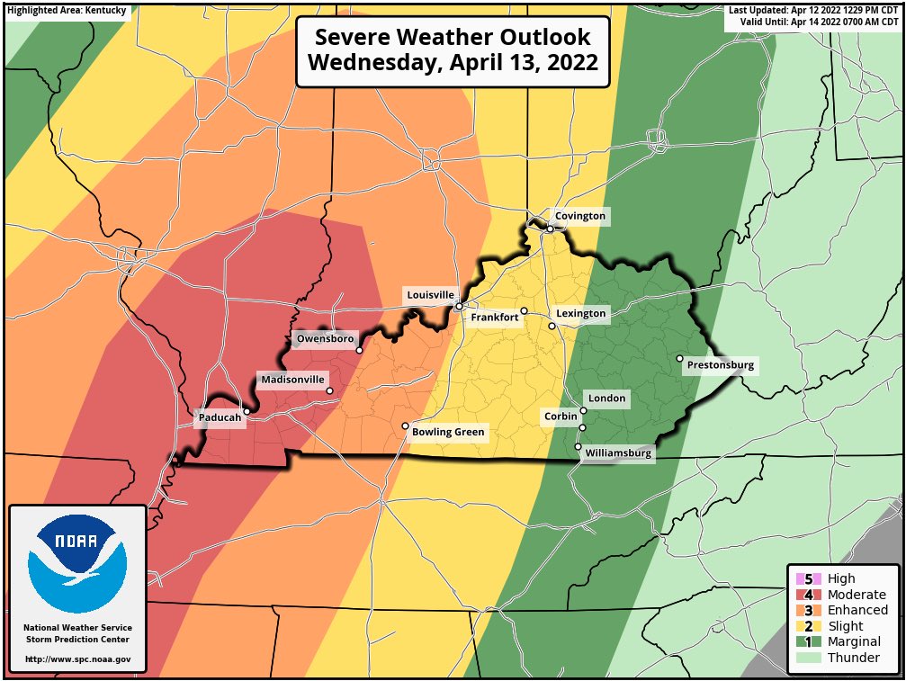
Afternoon update from the @NWSSPC upgrades most of the Tristate to a MODERATE RISK (level 4 of 5) for severe t-storms Wednesday, including a significant risk area for damaging wind gusts and tornadoes. #tristatewx
Latest severe weather outlook from the SPC has introduced a moderate (4/5) risk for western KY Wednesday.
We’ll be closely monitoring storms coming from that direction Wednesday afternoon/evening.
Don’t be scared, be prepared. #kywx
A windy & cold start to the work-week as clouds linger, but it will improve after today. We will warm close to normal on TUE, see more sunshine on WED, & keep highs seasonable for the end of the week. #tristatewx#EWNWeather
This is the reality of Police work. No officer goes to work wanting to use their firearm, but when that duty calls, it’s split second decisions. This man was assaulting his domestic partner with a weapon & didn’t care the police were there.
The second and more severe COLD PUSH next Mon-Wed should allow many of you to see your first flakes of the season if the operational ECMWF is right. Certainly makes sense given the air mass that follows and the wavy nature of the front that brings it.