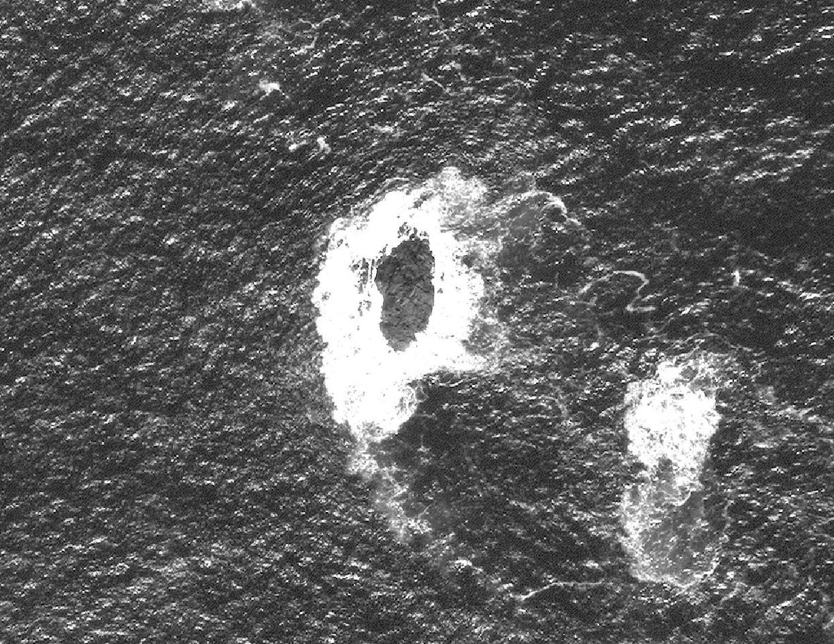
First discovered in 1976 in #Landsat 1 imagery and named after the sensor that helped discover it #LandsatIsland has never been mapped since the only human visit ended in almost becoming polar bear lunch. Now @DigitalGlobe satellites can provide detail on this tiny island.
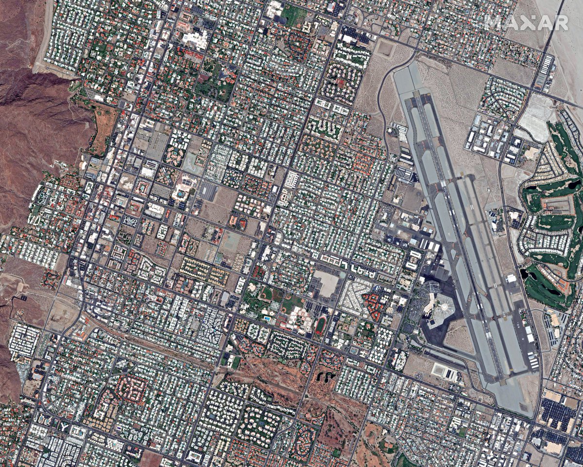
Palm Springs hosts this year’s @Esri Partner Conference. We’re a proud Esri Gold Partner with a decade of providing #satelliteimagery and data layers to users. Our team enjoyed their visit to the Esri HQ! Learn about our products available through Esri: https://t.co/9R5cdddGUM
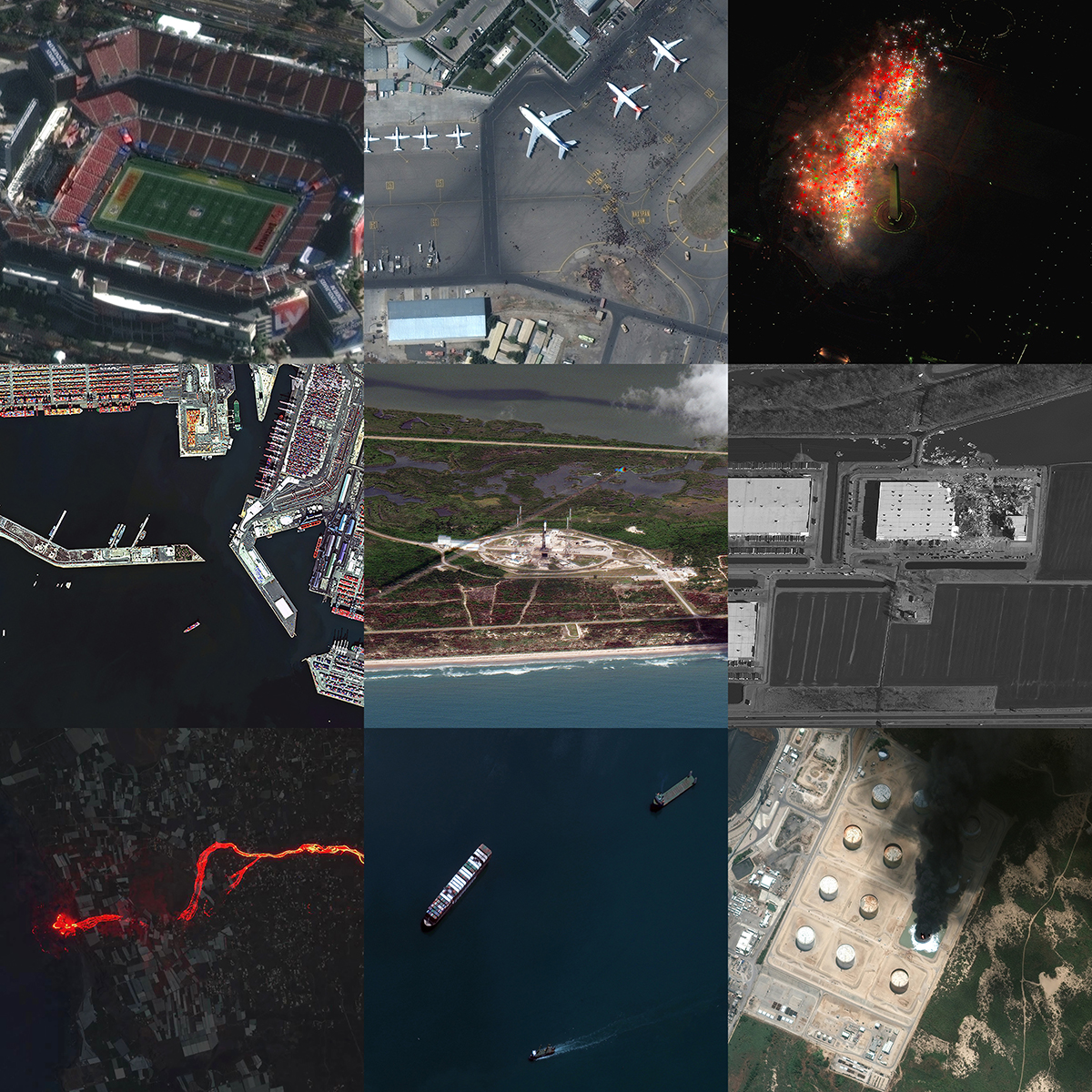
Our high resolution satellites observed many of the world’s most significant events this year. Take a look at some of them in our 2021 year in review blog. #YearInReview#InTheNews#SatelliteImagery https://t.co/WOpmb7xmAf
Join Maxar at #EsriUC! Maxar's @OrndorffChris will be presenting on Super-Spectral Imagery Interpretation with Maxar Analysis Ready Data on Tuesday, July 13 from 10:30 am to 11:00 am PDT. https://t.co/5eBuHNa4D6
As we continue to monitor the #SuezCanal and the location of the #EverGiven container ship, our Collection Planning Team worked their magic and tasked our GeoEye-1 #satellite to capture the entire(!) canal in one image strip. A total of 5,070 sq km collected on April 12, 2021.
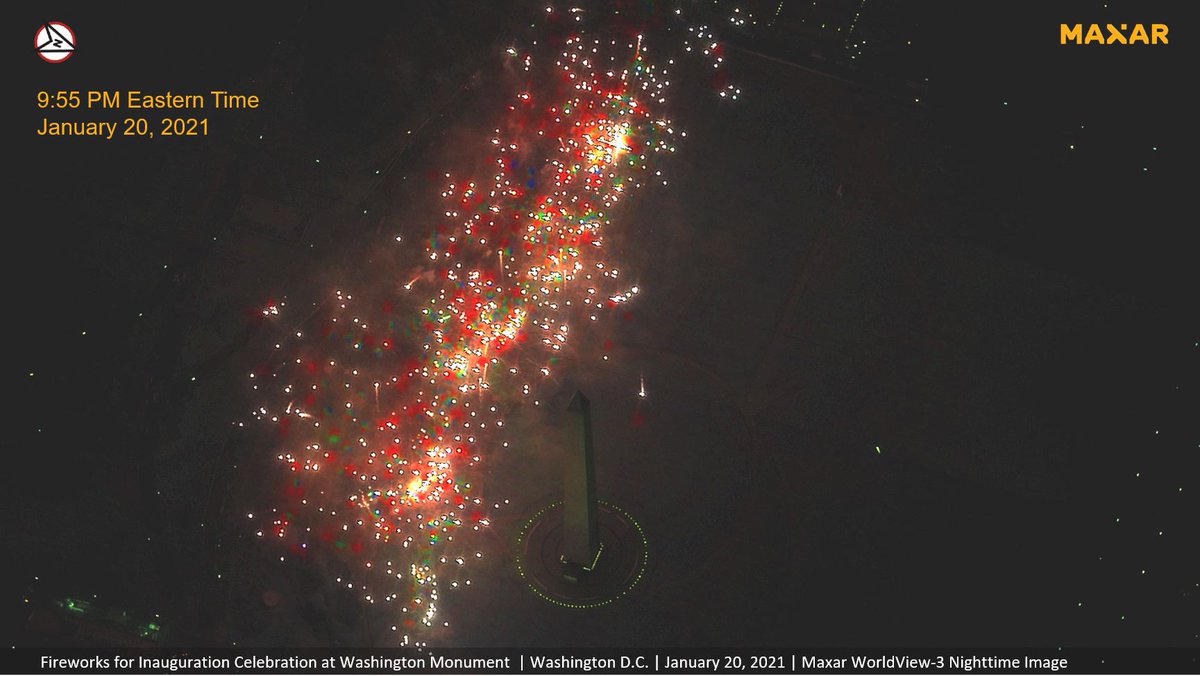
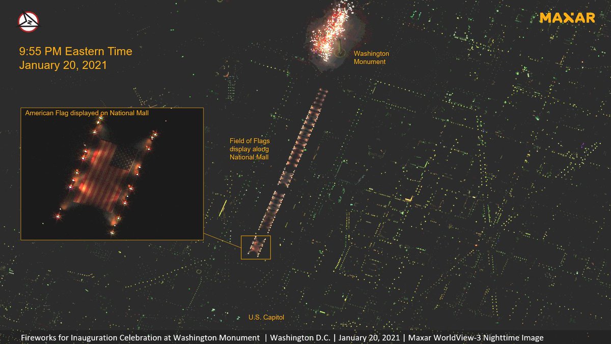
Our WV3 #satellite collected this dramatic nighttime imagery (Jan 20th @ 9:55 pm EST) of the presidential #inauguration fireworks celebration near the #Washington Monument and Tidal Basin, as well as lights displayed along the Reflecting Pool and National Mall.