Mapping and geospatial technologies based on AI technology. Business intelligence provided by @identiflier @XClaimit #XCLAIM the news. #InnovatingCreativity™
A bat doesn’t simply sense its environment. It interrogates it. 🦇
Signal → echo → interpretation → adaptation → repeat.
BioTwin Episode 7 explores what engineering can learn from that loop.
https://t.co/KW03ZeDegJ
#BioTwin#Twin7#Biomimicry#Engineering
Nature solved complex flow-control problems long before we built turbines or aircraft.
Humpback whale flippers show how biological form can inform more controllable and resilient engineering.
Watch BioTwin by Twin7: https://t.co/KW03ZeDegJ
#BioTwin#Twin7#Biomimicry
A gecko doesn’t use suction or wet glue. Its grip depends on structure, contact, direction and controlled release.
What could that teach us about robots designed to climb walls and inspect difficult-to-reach places?
Twin7 BioTwin Episode 3: The Vertical Robot
Could a termite mound teach us how to design better buildings?
I’ve been exploring that idea with Twin7 BioTwin. Here’s a short film imagining where it could lead.
Quite a lot to learn from our tiny neighbours 🙂
https://t.co/lfmLMfMvX1
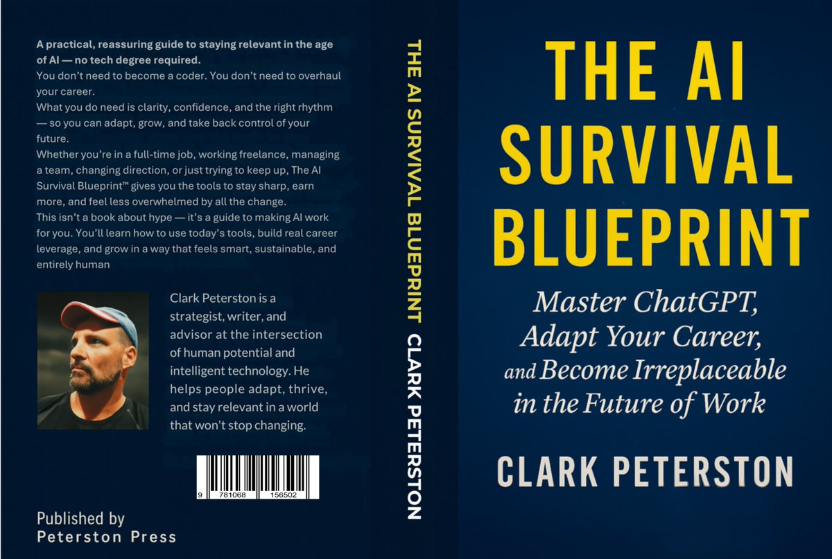
🚀It’s here.
📘 The AI Survival Blueprint is now available on Kindle.
If you’ve ever worried AI might replace your job — this book shows how to use it to amplify your value instead.
👉 https://t.co/Wb3Ge9FeoR
#AI#ChatGPT#Careers#FutureOfWork#Books
Looking for an affordable platform to run popular #genAI models at the edge?
Introducing the NVIDIA Jetson Orin Nano Super Developer Kit, offering up to 67 TOPS of AI performance for $249. Existing users can upgrade their JetPack SDK for a "super" boost. https://t.co/BiTCBke58P
🎉 I just wrapped up teaching the Introduction to GIS Programming course this semester at the University of Tennessee! All course materials and lecture recordings (26 hours) are freely available online.
Explore the links below to dive into #geospatial 🌍 data visualization and analysis using #opensource Python packages:
🌐 Course Website: https://t.co/2dK3d0nHH7
📂 GitHub Repository: https://t.co/yBth77qzfa
📺 YouTube Playlist: https://t.co/9sbsl5TfCS
Join me in exploring the world of geospatial analysis with #python and #jupyter!
NASA and IBM have just launched an updated foundation model for geospatial data.
It can remove clouds, detect crops, and identify floods.
Plus it's free.
Here's what you need to know about it:
Digital Twins - Navigating the Standards & Regulations Across Industries
🌍 As digital twins become an integral part of modern industries, the need for compliance, security, and efficiency is more critical than ever.
https://t.co/zJGnZtUXqb
The role of semantic knowledge graphs. To solve data challenges, drive efficiencies, and work with clean, quality data, enterprises need their data to have a proper foundation based on semantic knowledge graphs.
https://t.co/BQedeRDDoP
The Earth is almost never shown like this, and in the meantime, this is our planet from the side of the Pacific Ocean 🌊.
One side of the Earth is almost completely covered with water (the Pacific), while landmass is almost all on the other side.
At a time when different parts of the earth are facing heat waves, wildfires and floods, former Google CEO Eric Schmidt believes that use of artificial intelligence (AI) could go a long way in predicting extreme weather.
https://t.co/F2qPfaxKvd
#DigitalTwins#Data#technology
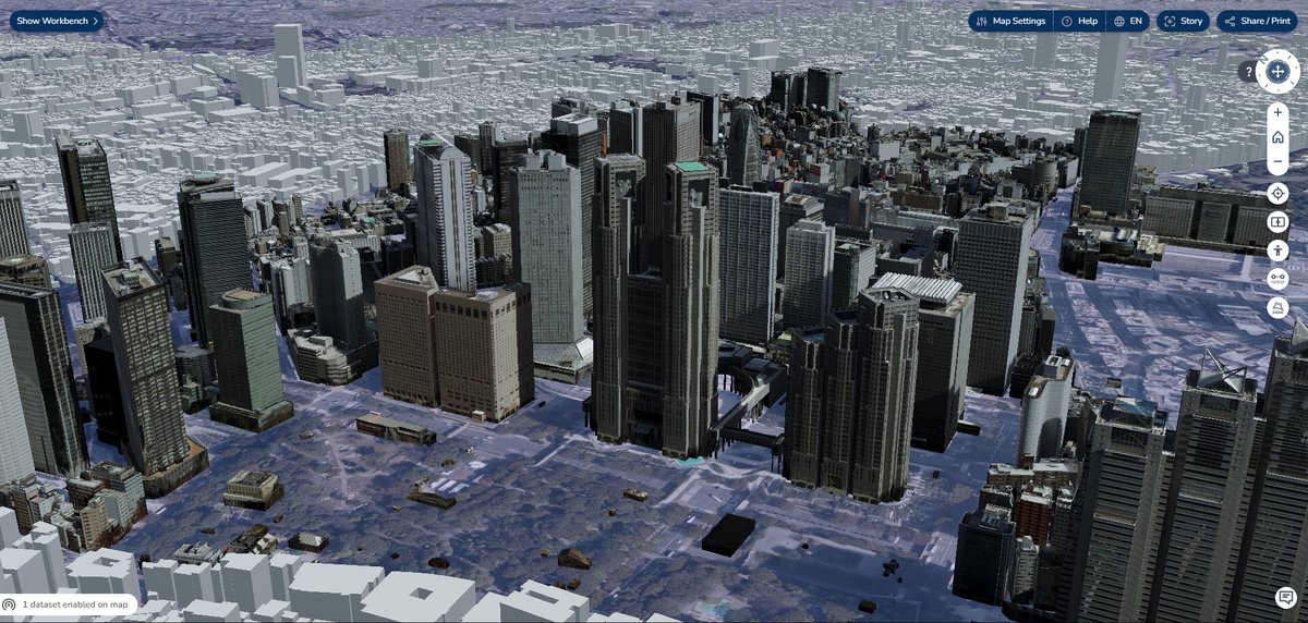
A #DigitalTwin is a replica of components found in building and road infrastructures, economic activity, and various physical spaces such as the flow of people based on data retrieved from sensors.
This technology is expected to be utilized in various fields in #Tokyo.