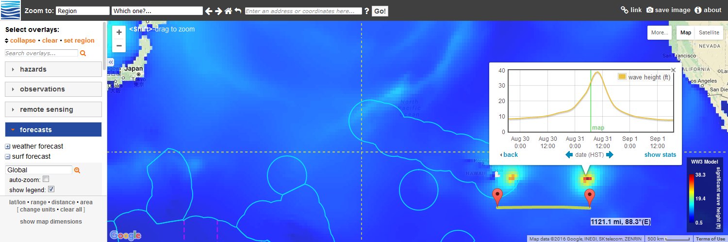
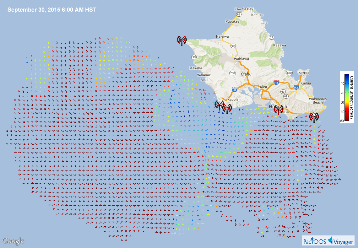
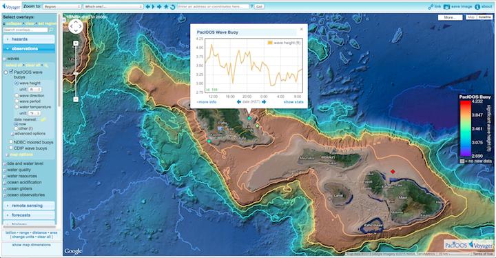
An interactive map site for visualizing and downloading ocean observations, forecasts, and geodata from the Pacific Islands Ocean Observing System (PacIOOS).
PacIOOS has updated Voyager’s suite of NOAA Coral Reef Watch (CRW) coral bleaching monitoring products from version 3.0 to version 3.1. This daily product now spans 33 years from 1985 to the present: https://t.co/nON2Crkffo
Voyager’s “water quality” category now includes an additional overlay of coastal water quality measurements sampled by a network of water quality champions known as Hui O Ka Wai Ola (Association Of The Living Waters) on the island of Maui: https://t.co/riR37o9PJg
Recent updates and performance improvements to several of Voyager's data overlays, including benthic habitats, marine species distributions, tsunami evacuation zones, and flood hazard zones: https://t.co/7jYDdGasaj