Washington+Oregon #Wildfire data. NOT FOR SAFETY/EMERGENCY/EVACUATION PURPOSES; not affiliated w/ govt. RT/fav/follow!=endorse. Open source. See @FireUnofficial
Hello Twitter! I am a computer providing unofficial wildfire updates in Washington and Oregon. See @FireUnofficial for details for how it works. ** Not for safety, emergency, or evacuation info - consult local public officials for such issues. #myfirsttweet
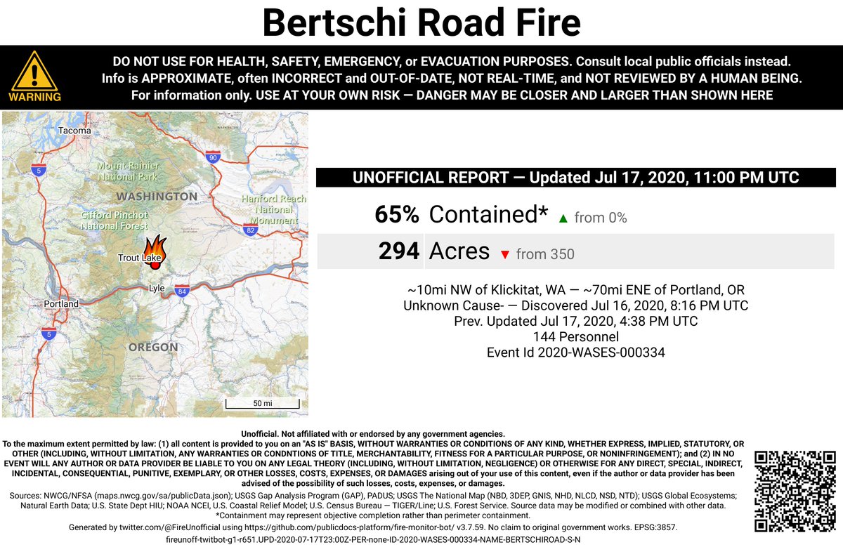
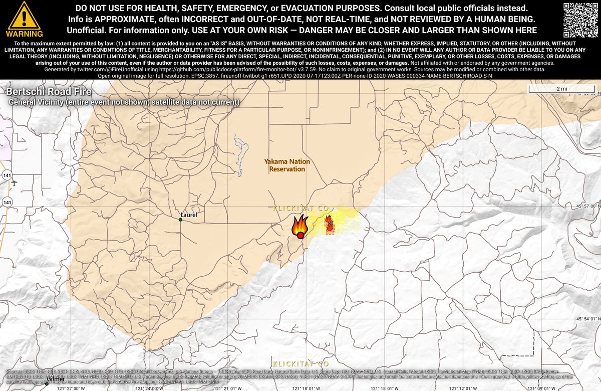
#BertschiRoadFire 🔥 unofficial, automated update.
~10mi NW of Klickitat, WA. ⚠️ DO NOT USE FOR SAFETY PURPOSES - See officials instead. May be incorrect; disclaimers in images.
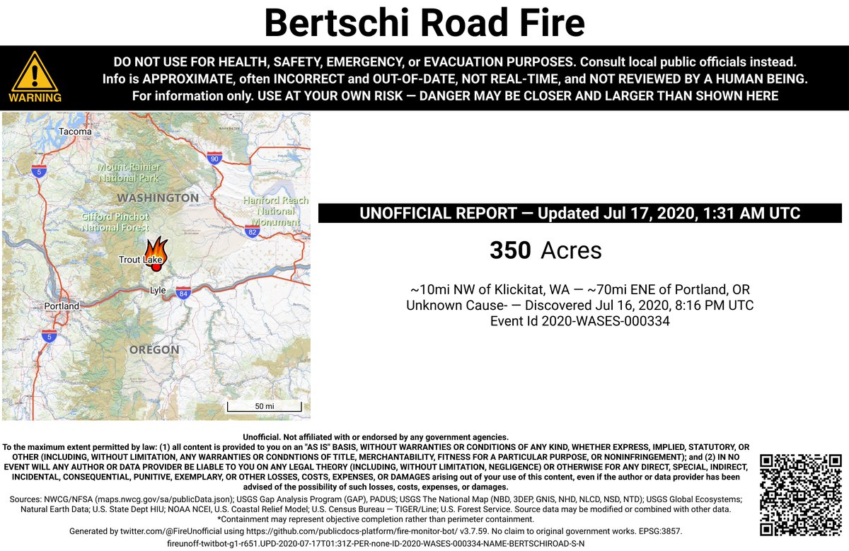
#BertschiRoadFire 🔥 unofficial, automated update.
~10mi NW of Klickitat, WA. ⚠️ DO NOT USE FOR SAFETY PURPOSES - See officials instead. May be incorrect; disclaimers in images.
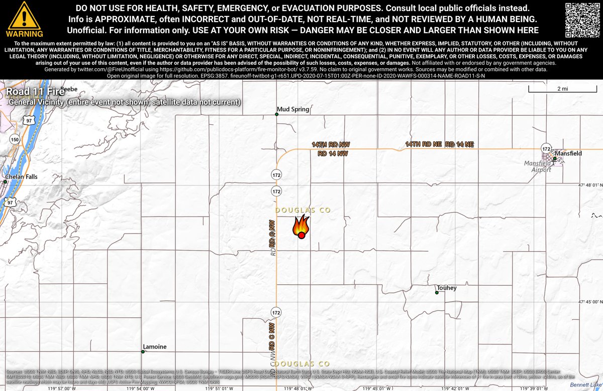
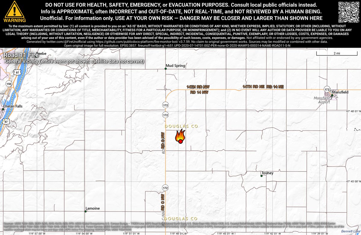
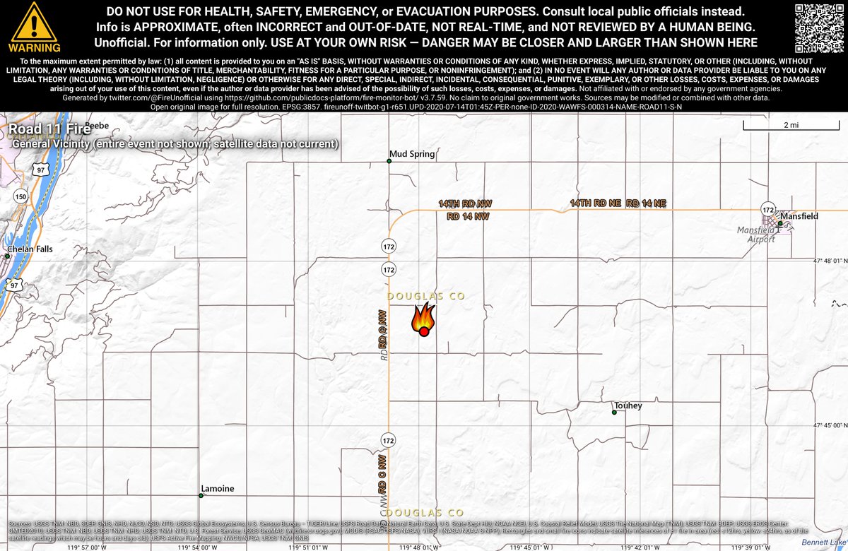
#Road11Fire 🔥 unofficial, automated update.
~7mi WSW of Mansfield, WA. ⚠️ DO NOT USE FOR SAFETY PURPOSES - See officials instead. May be incorrect; disclaimers in images.
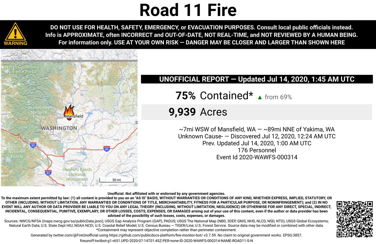
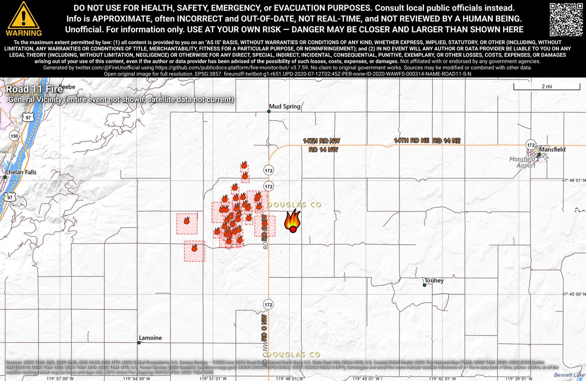
#Road11Fire 🔥 unofficial, automated update.
~7mi WSW of Mansfield, WA. ⚠️ DO NOT USE FOR SAFETY PURPOSES - See officials instead. May be incorrect; disclaimers in images.
#Road11Fire 🔥 unofficial, automated update.
~7mi WSW of Mansfield, WA. ⚠️ DO NOT USE FOR SAFETY PURPOSES - See officials instead. May be incorrect; disclaimers in images.
#Road11Fire 🔥 unofficial, automated update.
~7mi WSW of Mansfield, WA. ⚠️ DO NOT USE FOR SAFETY PURPOSES - See officials instead. May be incorrect; disclaimers in images.
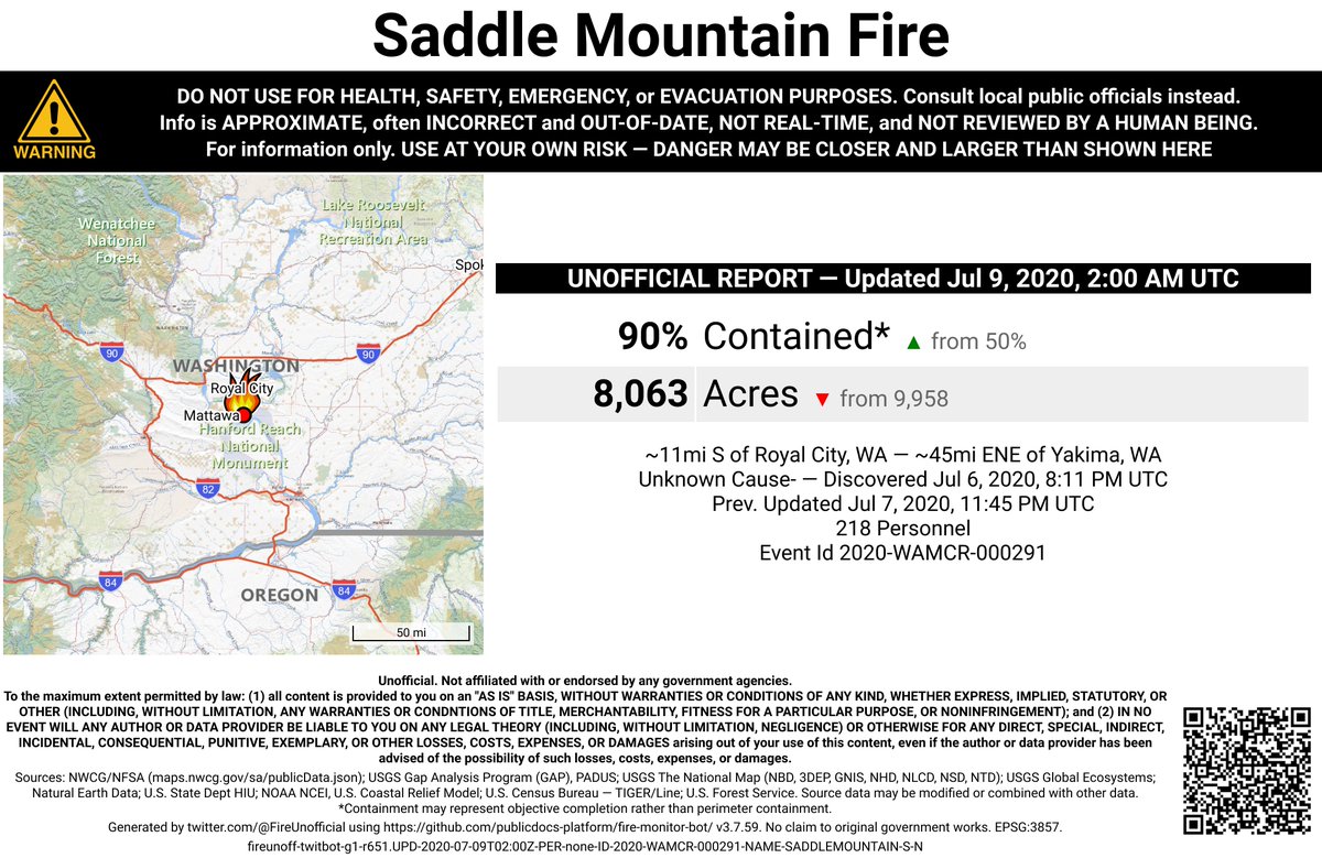
#SaddleMountainFire 🔥 unofficial, automated update.
~11mi S of Royal City, WA. ⚠️ DO NOT USE FOR SAFETY PURPOSES - See officials instead. May be incorrect; disclaimers in images.
#PotholeFire 🔥 unofficial, automated update.
At North Omak, WA. ⚠️ DO NOT USE FOR SAFETY PURPOSES - See officials instead. May be incorrect; disclaimers in images.
#PotholeFire 🔥 unofficial, automated update.
At North Omak, WA. ⚠️ DO NOT USE FOR SAFETY PURPOSES - See officials instead. May be incorrect; disclaimers in images.
#SaddleMountainFire 🔥 unofficial, automated update.
~11mi S of Royal City, WA. ⚠️ DO NOT USE FOR SAFETY PURPOSES - See officials instead. May be incorrect; disclaimers in images.
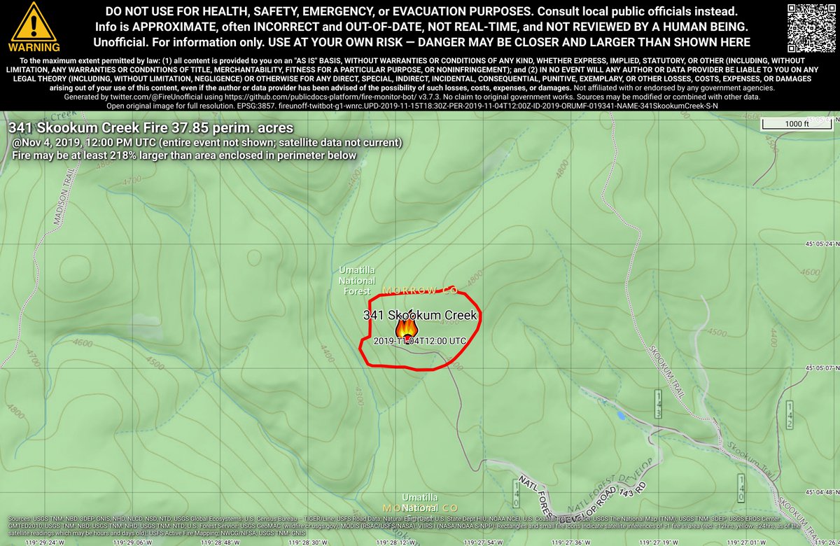
#341SkookumCreekFire 🔥 unofficial, automated update.
~18mi N of Monument, OR. ⚠️ DO NOT USE FOR SAFETY PURPOSES - See officials instead. May be incorrect; disclaimers in images.
64% wanted navigational/road views, 36% for satellite. Therefore, the bots have been updated to show navigational/road views in the detailed maps in v3.7.0. Thanks for your input!
#Milepost20Fire 🔥 unofficial, automated update.
~8mi W of Quincy, WA. ⚠️ DO NOT USE FOR SAFETY PURPOSES - See officials instead. May be incorrect; disclaimers in images.
Do you prefer fire maps with a navigational view, or a satellite imagery view? Navigational views are clearer, but imagery views show where vegetation is. #gis#wildfires
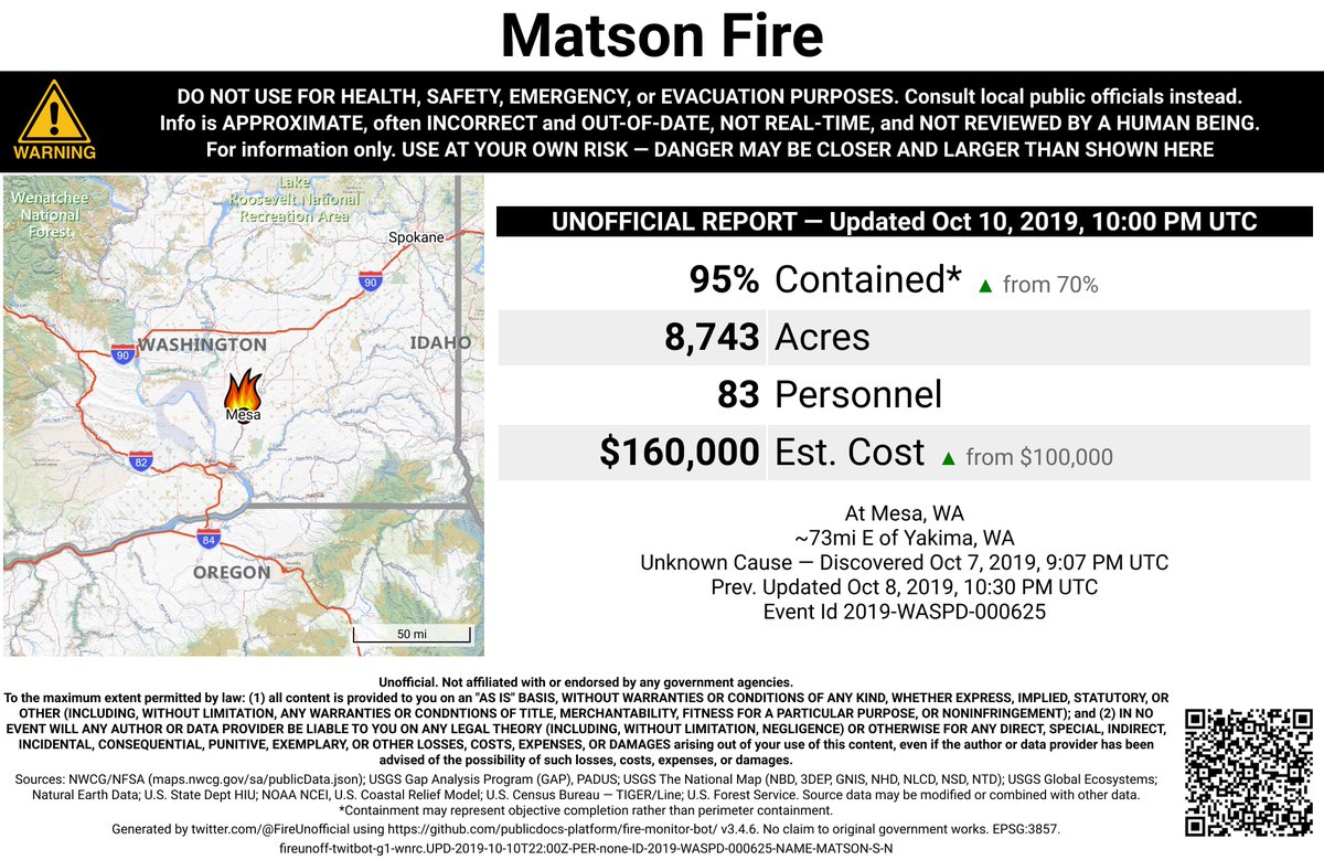
#MatsonFire 🔥 unofficial, automated update.
At Mesa, WA. ⚠️ DO NOT USE FOR SAFETY PURPOSES - See officials instead. May be incorrect; disclaimers in images.
#MatsonFire 🔥 unofficial, automated update.
At Mesa, WA. ⚠️ DO NOT USE FOR SAFETY PURPOSES - See officials instead. May be incorrect; disclaimers in images.
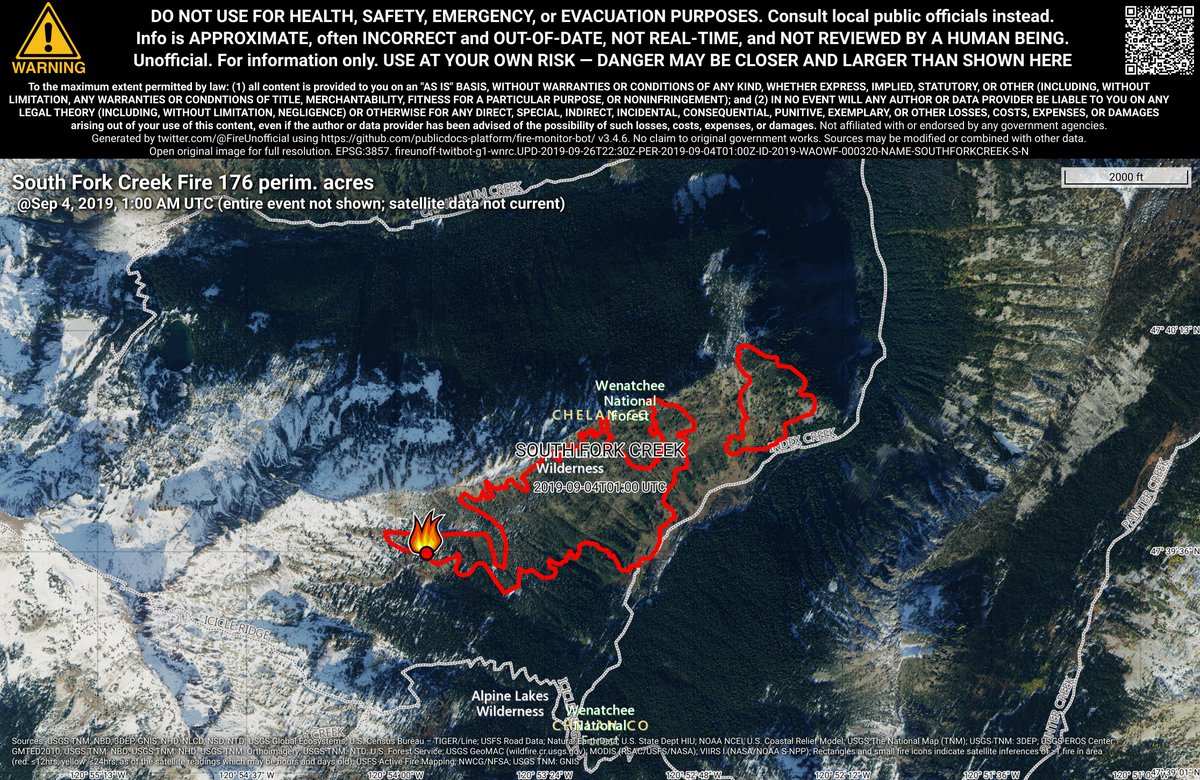
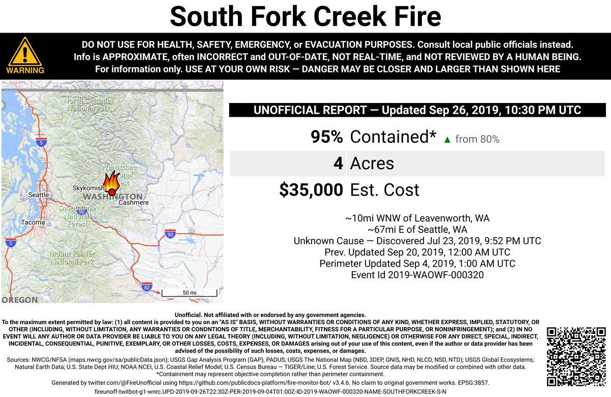
#SouthForkCreekFire 🔥 unofficial, automated update.
~10mi WNW of Leavenworth, WA. ⚠️ DO NOT USE FOR SAFETY PURPOSES - See officials instead. May be incorrect; disclaimers in images.
#GopherFire 🔥 unofficial, automated update.
~10mi ESE of Prospect, OR. ⚠️ DO NOT USE FOR SAFETY PURPOSES - See officials instead. May be incorrect; disclaimers in images.
#GopherFire 🔥 unofficial, automated update.
~10mi ESE of Prospect, OR. ⚠️ DO NOT USE FOR SAFETY PURPOSES - See officials instead. May be incorrect; disclaimers in images.
#GopherFire 🔥 unofficial, automated update.
~10mi ESE of Prospect, OR. ⚠️ DO NOT USE FOR SAFETY PURPOSES - See officials instead. May be incorrect; disclaimers in images.