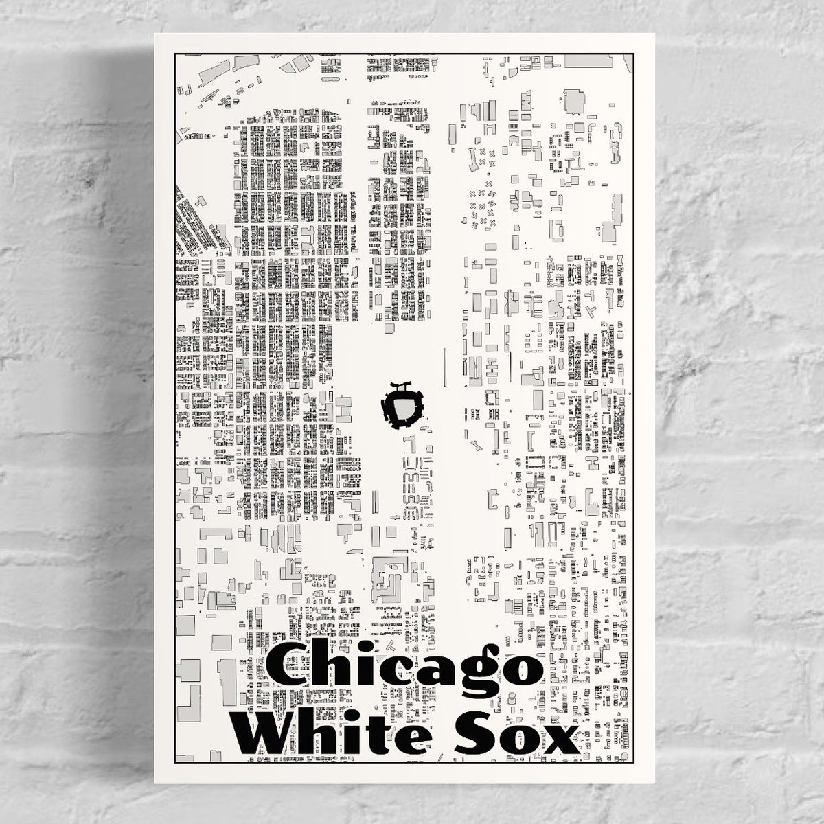
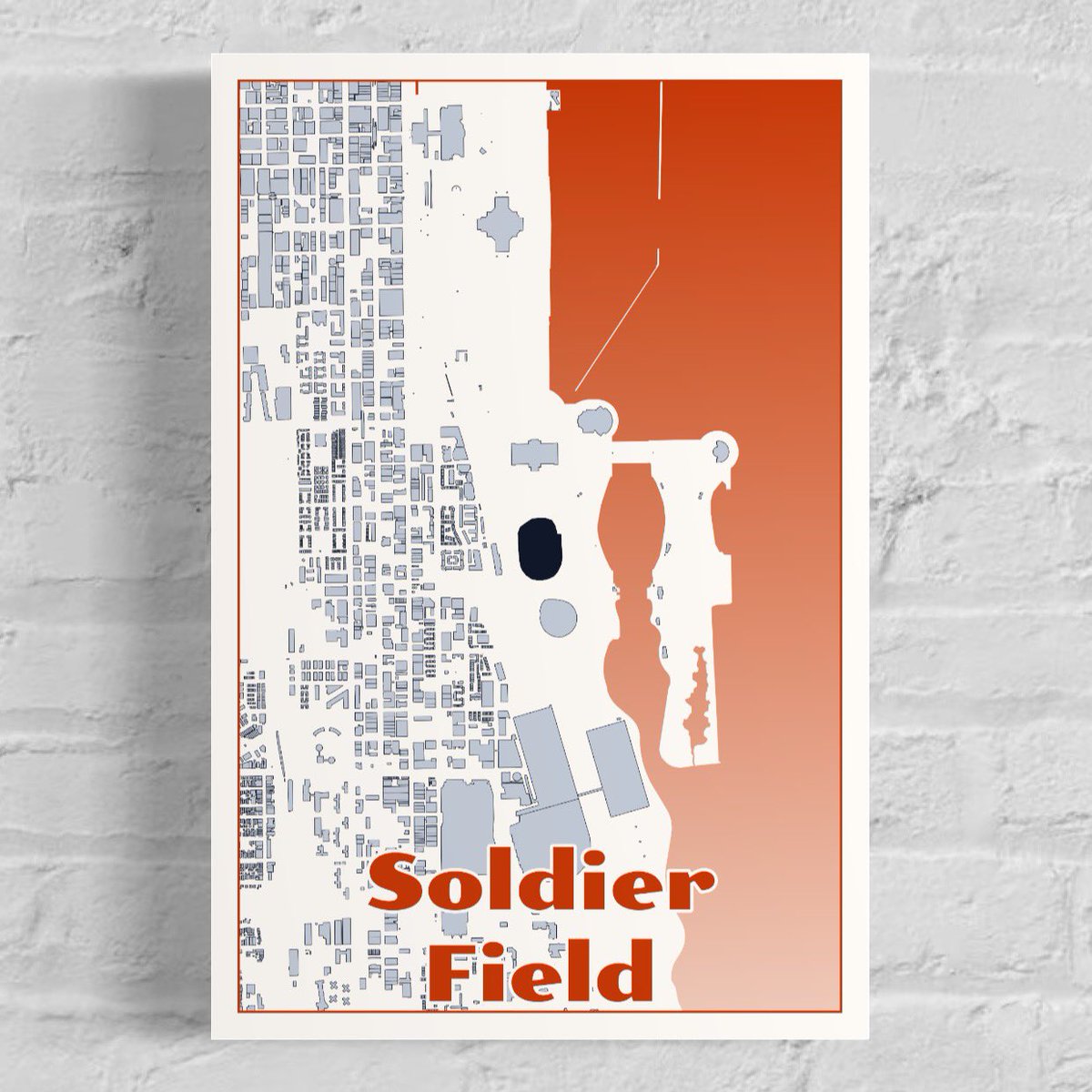
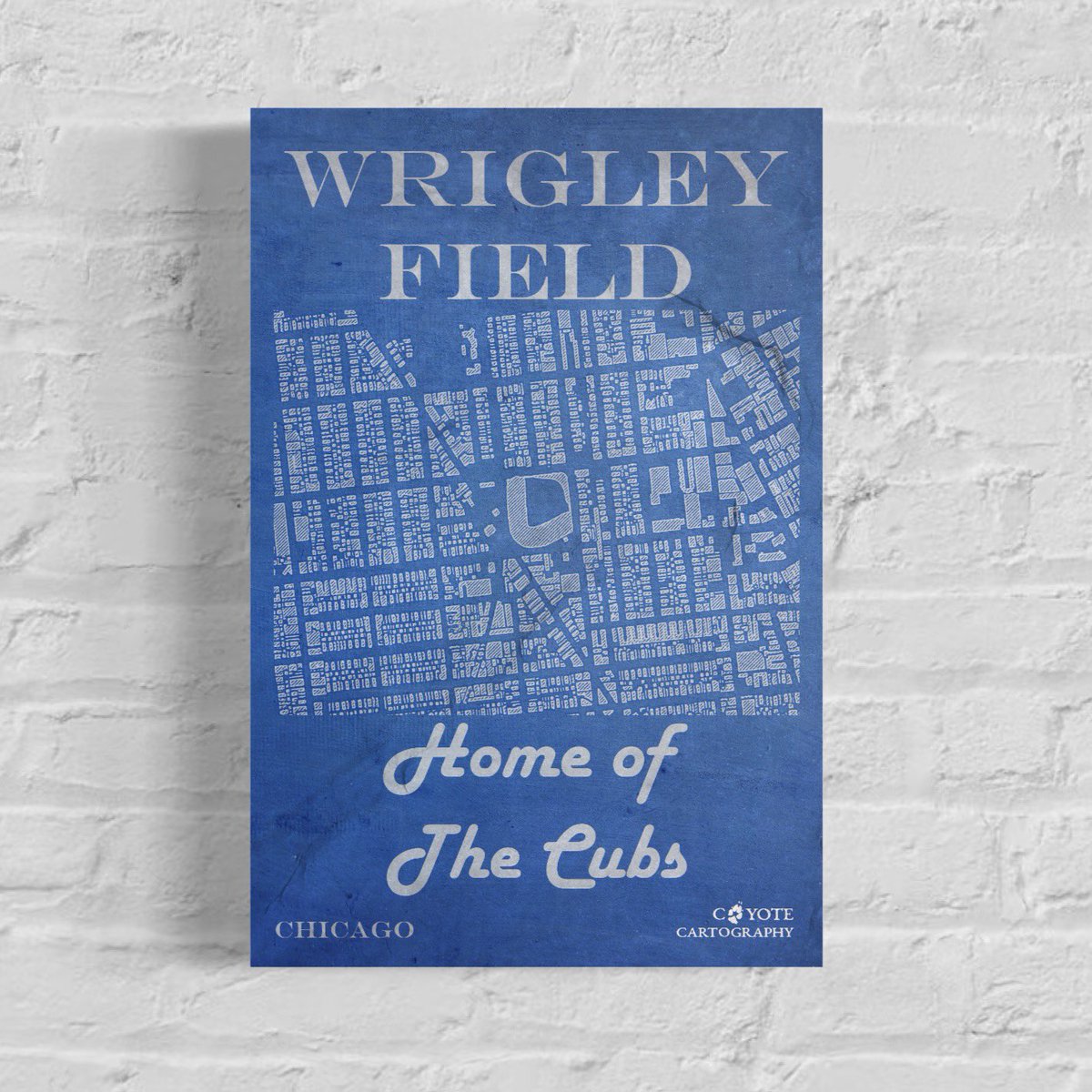
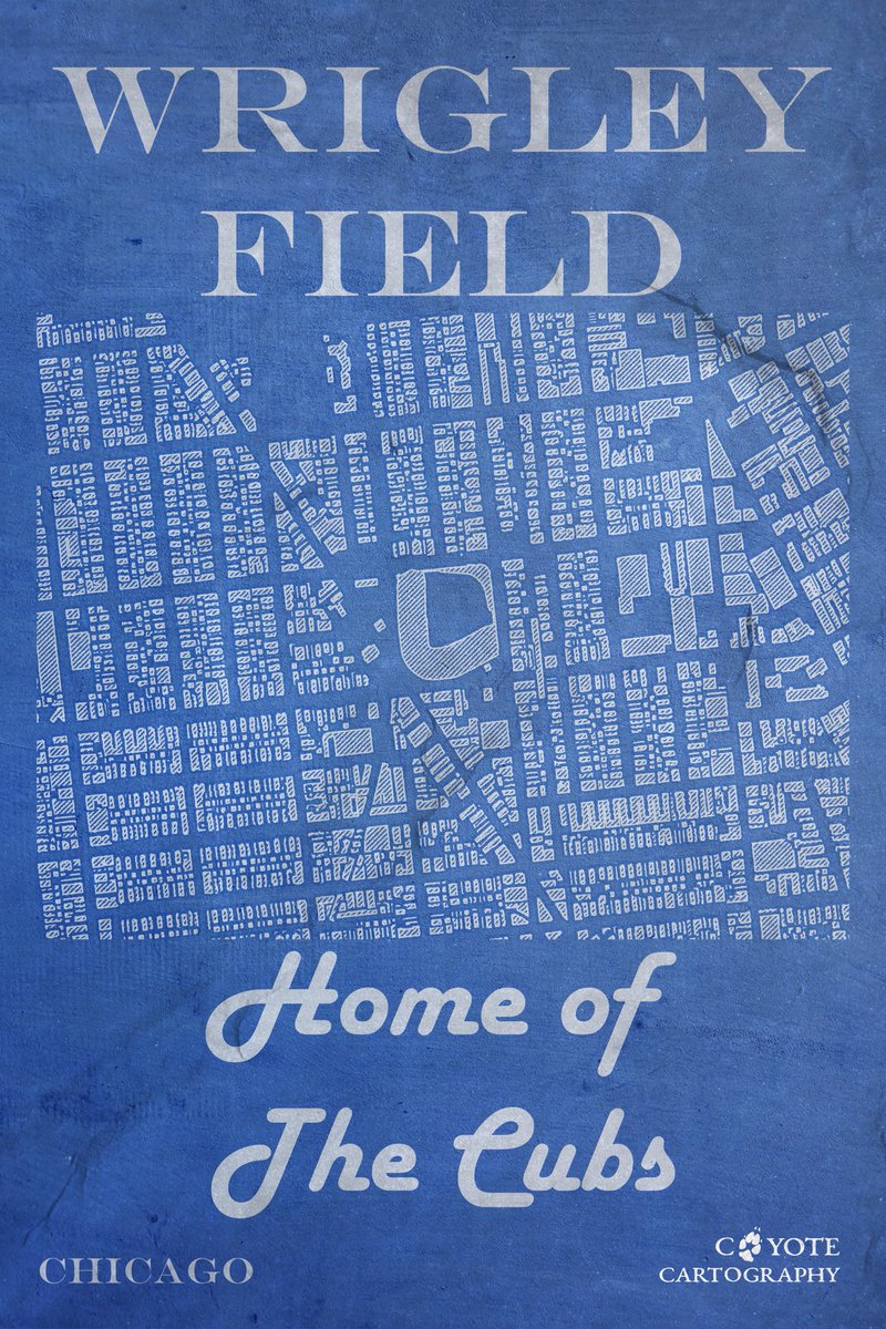
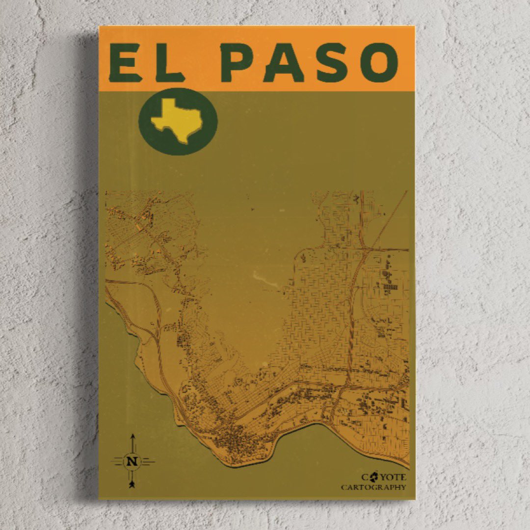
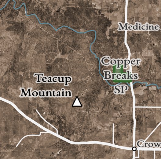
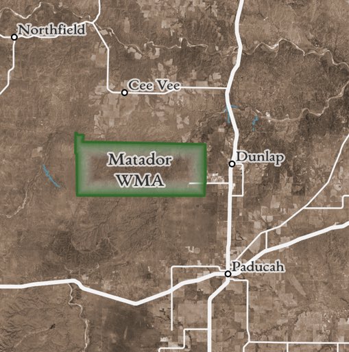
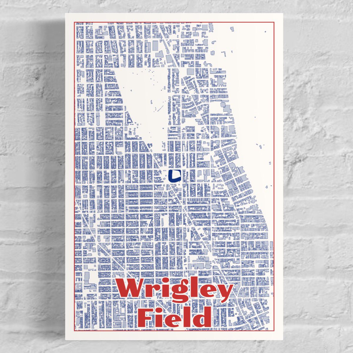
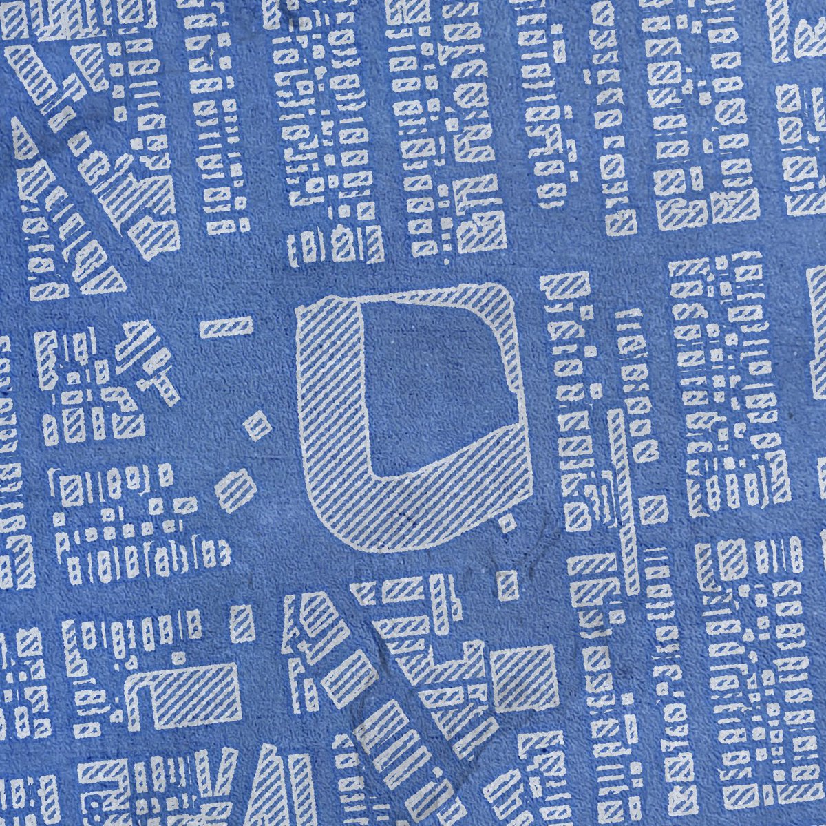
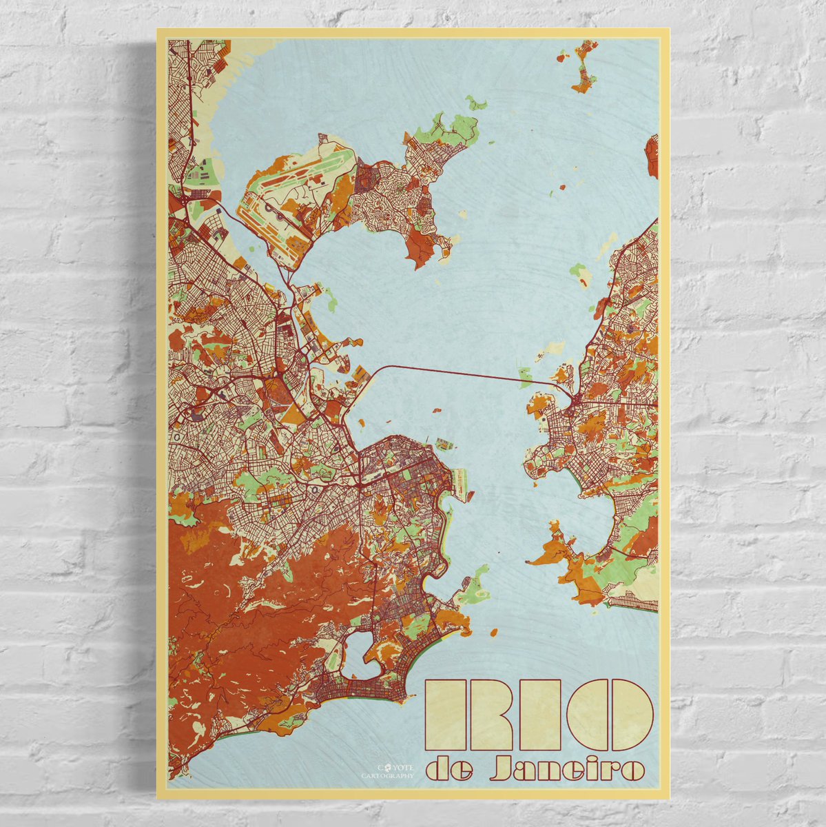
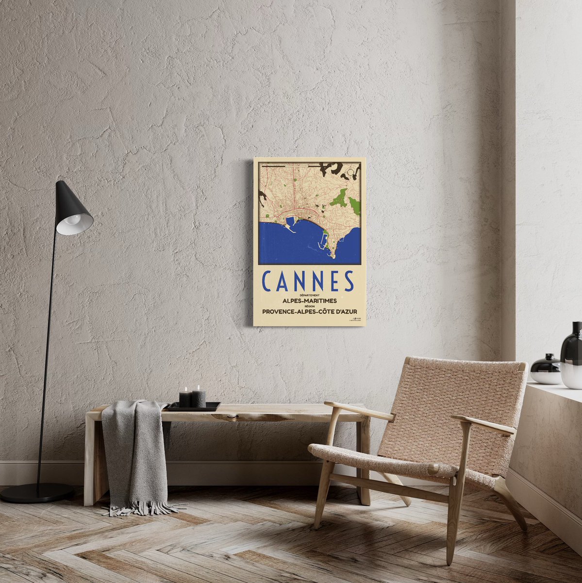
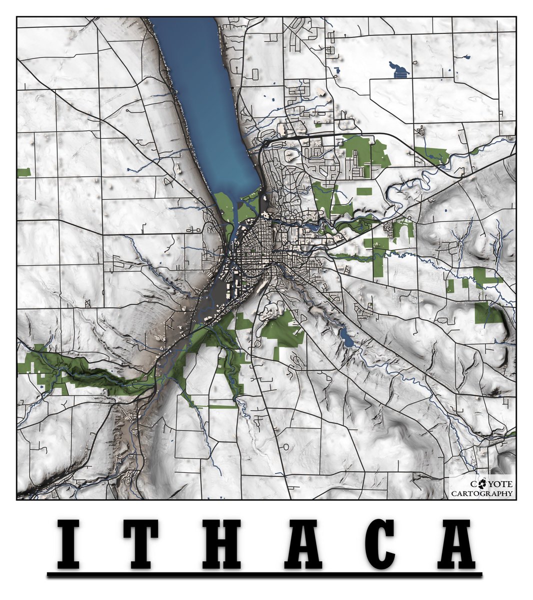
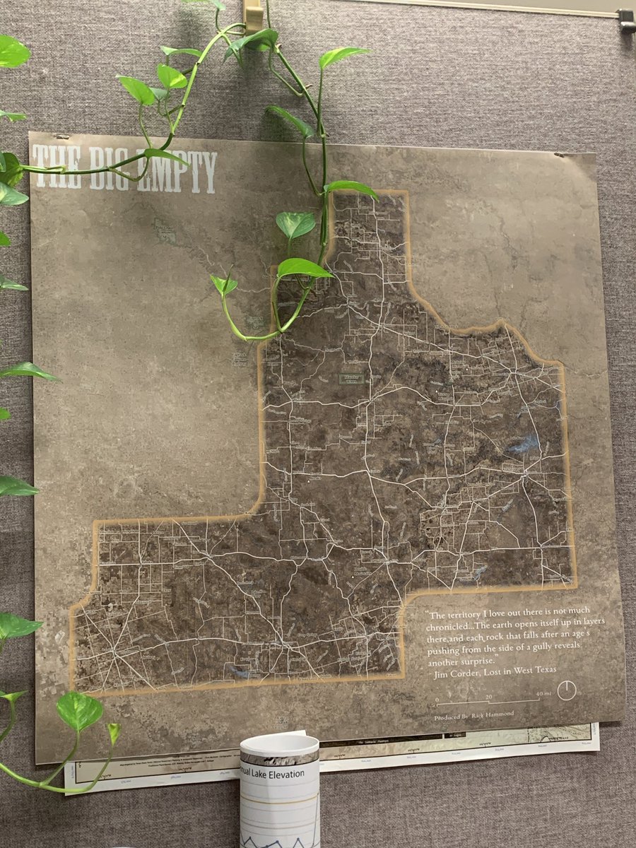
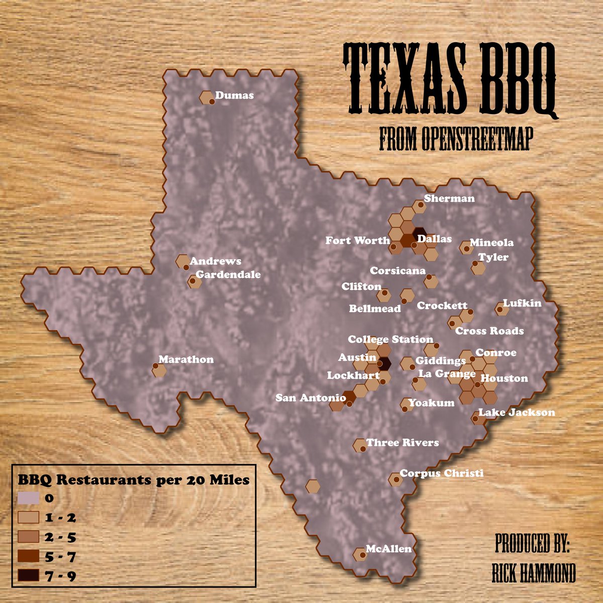
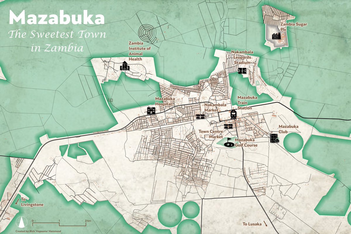
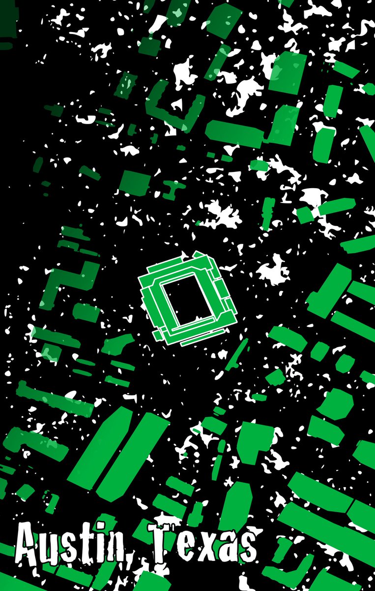
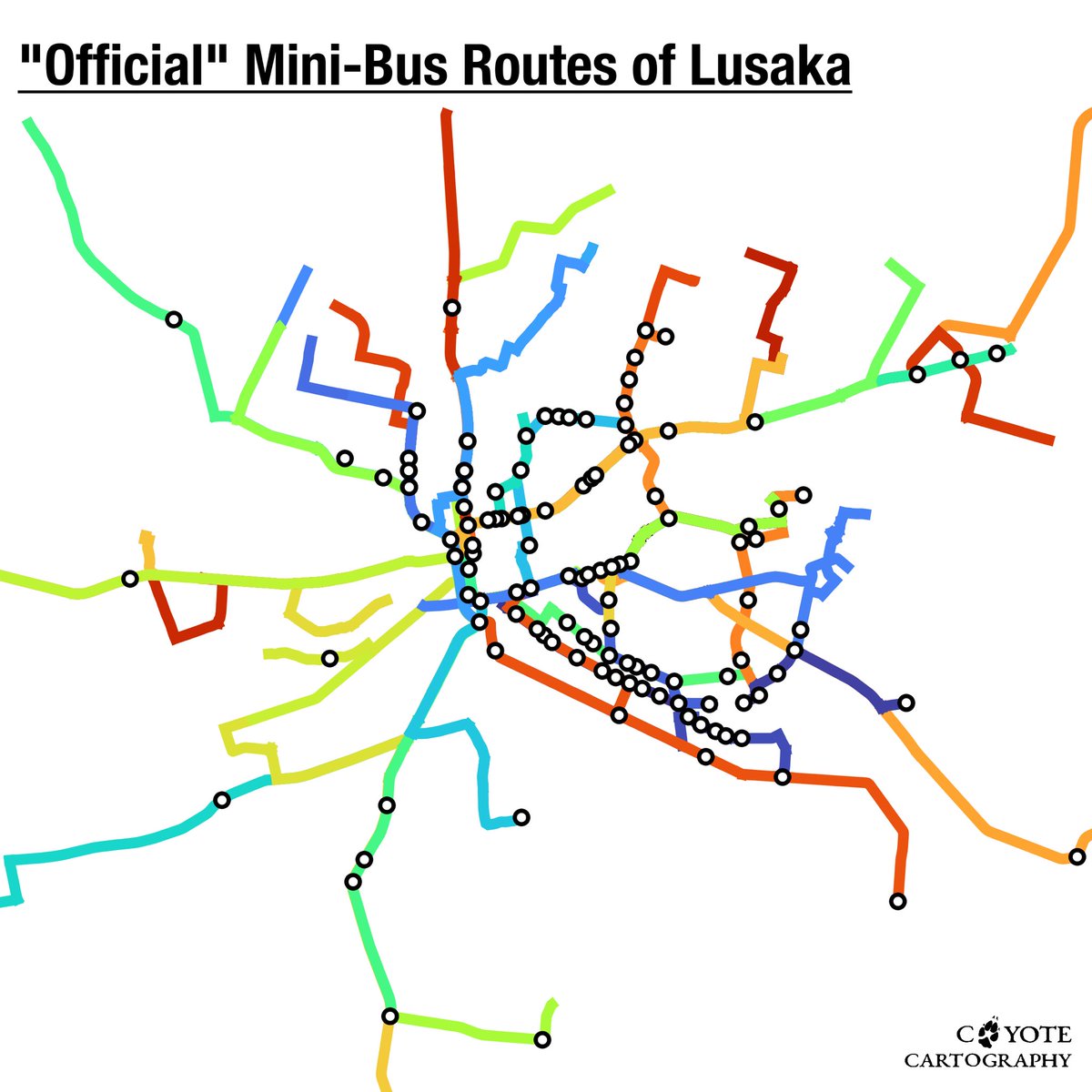
Got around to creating a #portfolio to host some of the #maps/#cartography work I’ve been doing in my free time. Check it out here: https://t.co/WItXWFPiJf
Now the proud owner of a Michigan Parallax Wedge 2, now I’ll be able to determine object height from stereoscopic pairs of vertical aerial photographs! #maps#gis#mapping#map
Day 10 of the #30DayMapChallenge A Bad Map: a joke #map I made at work, I deleted the file so this printed version is the only one in existence, note the signature in the corner, it’ll definitely be valuable…
Day 7 of the #30DayMapChallenge Raster: here’s a screenshot of a slope raster I’m currently using for a #trail re-route project. High quality content! 🙃 #qgis
I would like to take more time on this project. It was interesting to explore my #jewish#ancestry in this #map, but definitely need more of an understanding of the context.
Day 5 of the #30DayMapChallenge#Ukraine: Bit off more I could chew with this one. This #map shows Ukraine and it’s location within the Pale of Settlement. I made the choice to use the #yiddish place names (@yivoinstitute Yiddishland Project). Still needs work #cartography#qgis
Not knowing #yiddish, Ukrainian, or Russian, the varied English spelling, and my lack of knowledge about the geography of #Ukraine, all made this difficult. Place names from @yivoinstitute (https://t.co/HrDBXJN5Qe).