Rain starting Wednesday night will turn to snow on Thursday morning... a lot of it. Temperatures are also going to drop. Normally March in #YEG gets 16.8mm of precipitation; about 15.2mm is what we have for the month so far. #abstorm
More snow moving into the #YEG area. The city sits under a WIND WARNING and BLOWING SNOW ADVISORY. Snow and winds up to 90Km/h may make for poor visibility. #abstorm
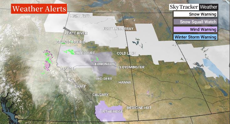
What the heck is a snow squall? It's not a common term in this neck of the woods, but Albertans around Edmonton and to the north of the city should prepare for some sudden, blustery weather on Thursday. @phildweather explains what is to come. #yegwx#abstorm#yeg
Edmonton is under a SNOW SQUALL WATCH. Of course we are not alone with that advisory. Strong winds and intense snowfall for a short period are expected to develop tomorrow morning. Tune in to @GlobalEdmonton at 5,6 & 11 for more. #abstorm
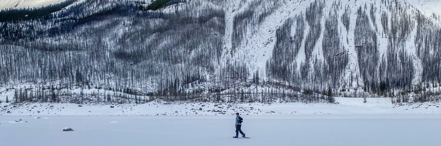
Welp, winter weather is here. After waking up to a fresh dump of the white stuff on Thursday, the Edmonton region is set to get around 15 cm of snow through the weekend.
#yeg#yegwx#abstorm
https://t.co/unEpctzowG
Be prepared to wake up to freezing rain or snow on Tuesday morning, as a system is moving through overnight that could bring both. Here's @phildweather's Monday, November 4, 2024 evening weather update for the #yeg area. #yegwx#abstorm