Heritage, photographic, museum, collections, festival person of many varieties; travel, canoe, diy, old-Volvo enthusiast; lived many places, settled in Scotland
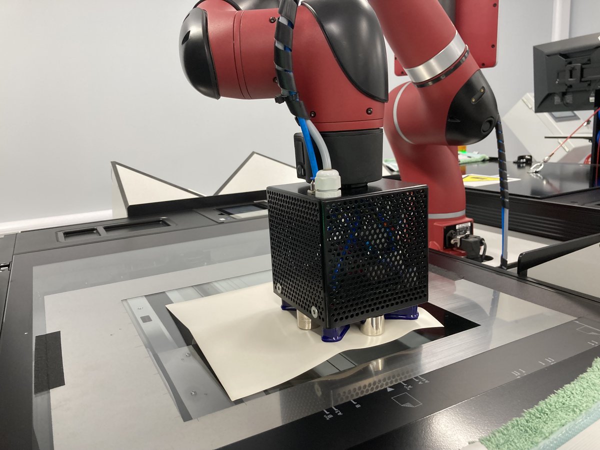
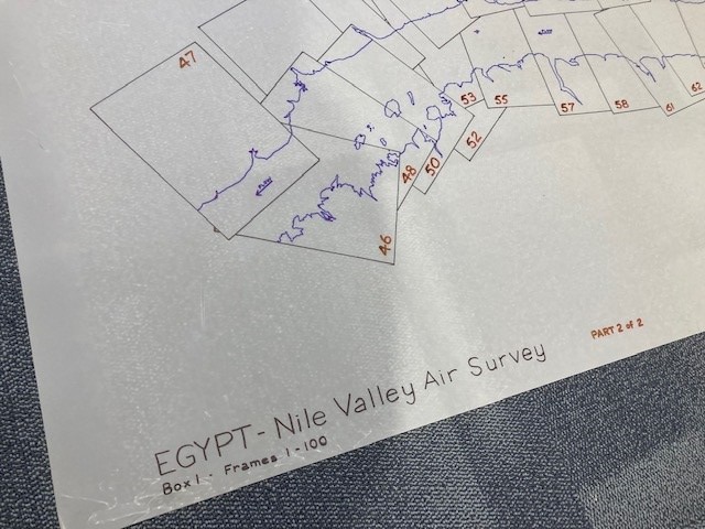
It’s #WDPD AND the 1-year anniversary of the one-millionth scan of the Directorate of Overseas Surveys project! 🥳
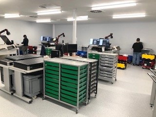
7 humans, 7 robots and over 1.5 million aerial photographs of the post-war Commonwealth. Find out what happened 👇
(What should we name our 7 robot friends? 🤖)
Wonderful when a banjo and some proper good-for-the-soul Americana music comes to the furthest most glorious corner of Fife #crailfolkclub @BrooksRedGuitar @danwalshbanjo
Here's another nice clearing shot, from March 1950 at Leuchars Airfield near St Andrews in Fife, Scotland. Taken by an RAF plane either before or after a sortie, it depicts airmen & a Supermarine Spitfire sitting on the runway. #clearingshot#NCAP#SupermarineSpitfire#spitfire
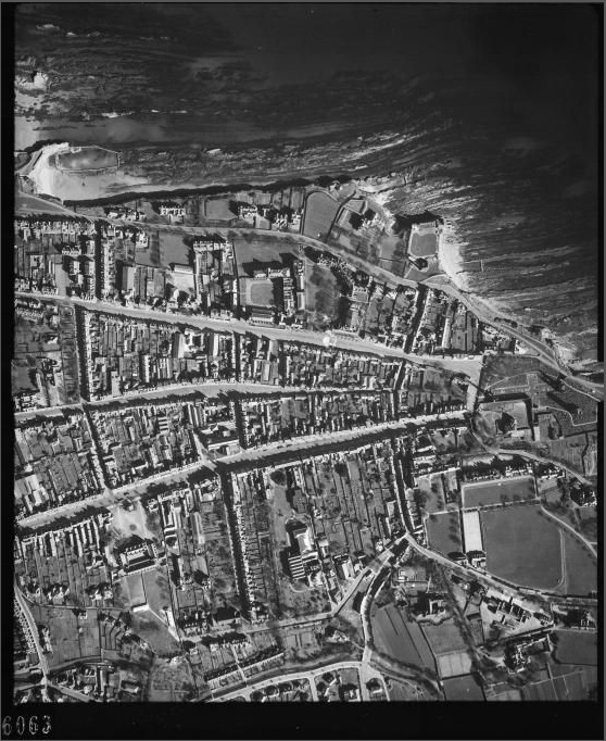
Our 3rd #ScottishArchivesDay image! This aerial view of St Andrews from 1946 clearly shows North, Market & South streets all leading to the ruined cathedral. This was from Operation Review, the #RAF's post-#WW2 national air survey of the UK. #StAndrews#aerialphotography#Fife
Today in unexpected avant-garde portraits in aerial photographs, how about this clearing shot of two airmen on the runway from September 1944 at RAF Benson in Oxfordshire, taken by 541 Squadron (RAF).
#clearingshot#aerialphotography#RAFBenson#RAF#NCAP#WW2#SWW
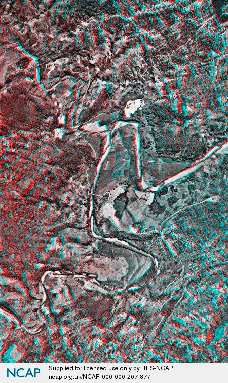
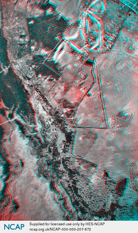
Here are some #anaglyphs made from stereo pairs in our Directorate of Overseas Surveys (DOS) collection.
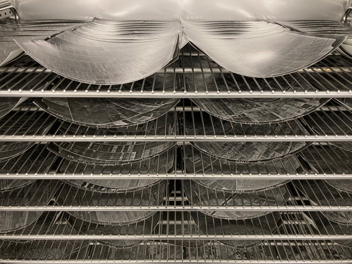
We are nearly finished digitising this entire collection of 1.5 million aerial photos!
@londonstereo @NCAP_Archive @discoverhk#Jamaica#Kenya#Hongkong
Our project to digitise the DOS is pioneering stuff, both in terms of our approach (using robots to help us scan everything!) and because it's a large international partnership with implications for research on science, climate change and the legacy of colonialism. #EYAMapsPlans
The photo is from the Directorate of Overseas Surveys (DOS), a unit set up by the British Colonial Office in 1946 to map countries in the manner of @OrdnanceSurvey.
Decades of aerial photography can now be compared & digitally merged with modern satellite imagery. #EYAMapsPlans
Our NCAP archivists recently completed the one millionth successful scan in our state-of-the-art robotics suite. But what's that got to do w/ @explorearchives theme #EYAMapsPlans?
Well, the image in question is from a collection that has contributed to modern mapping technology!
In 1952 #Edinburgh staged another Health Week. During this time Edinburgh was experiencing a high incidence of tuberculosis. Therefore, the 1952 Health Week placed special emphasis on TB & the importance of regular mass X-ray examination.#LHSAPhotographs (1/10)