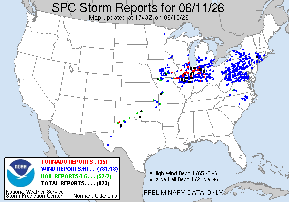
Nearly full sun has helped DCA warm to 101 F this July Fourth. Strong thunderstorms currently 60 miles to the west will move in over the next few hours. A 3D cut through the storm near Culpeper is shown.
Northern New York getting hit with its second severe MCS in 12 hours. These are ridge rollers, disturbances propagating along the periphery of a strong ridge, a common summertime/heatwave pattern.
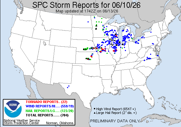
Nasty MCS moving into Illinois from Iowa this morning. It's right inside the corridor of greatest historical derecho activity (Guastini and Bosart 2016).