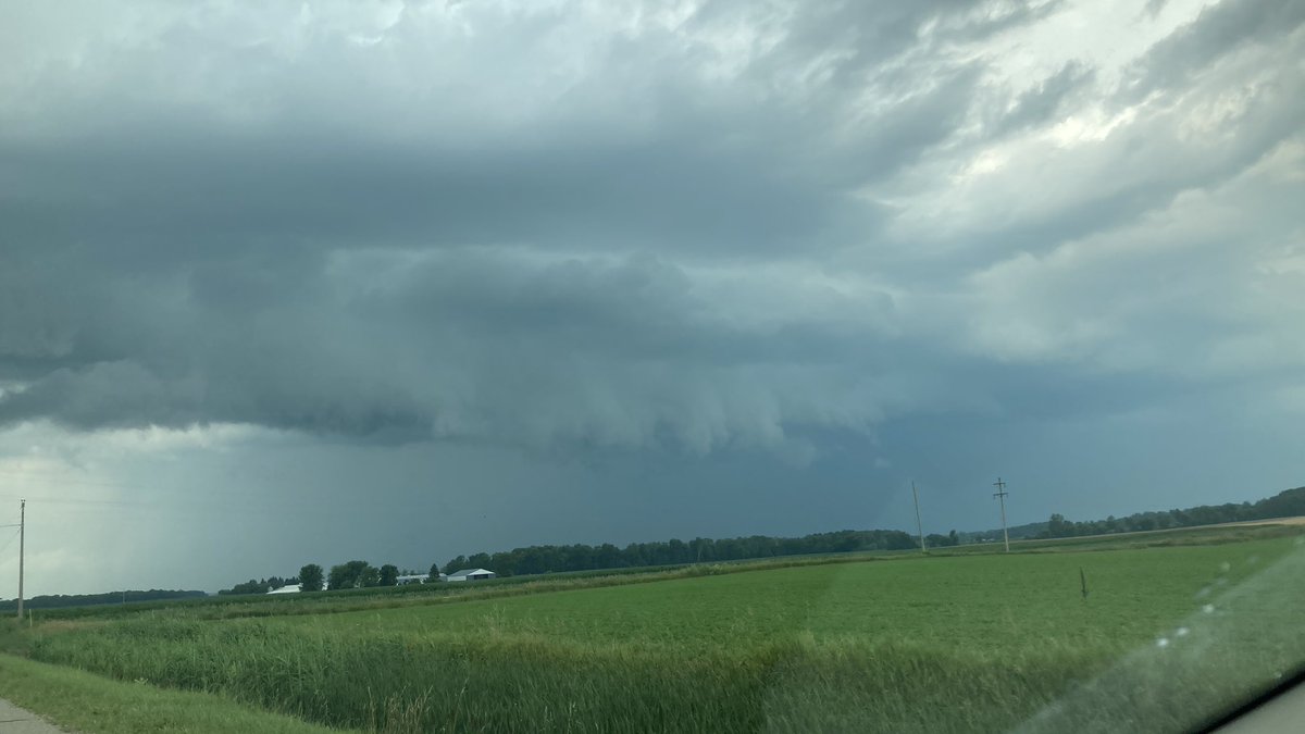
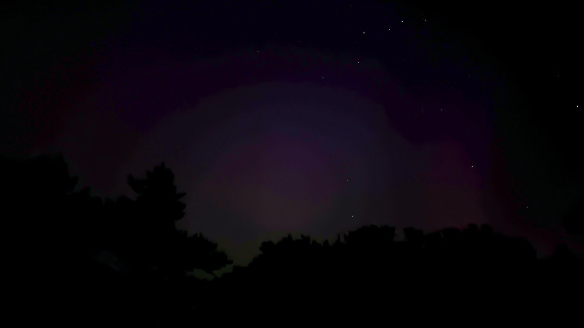
Photos of the TOR warned storm in Huron/Sanilac County not too long ago (7ish pm EDT), facing north-northeast as the storm moved towards Minden City.
While I didn't see a tornado, there was plenty of rotation in the storm clouds themselves, very wild to see in person!
#miwx
Since the smoke really wanted to come in and ruin the air here I decided to capitalized on most of the sun rays being blocked by it. Turns out my camera can zoom in enough to get amazing solar photos! #miwx
Photos of the TOR warned storm in Huron/Sanilac County not too long ago (7ish pm EDT), facing north-northeast as the storm moved towards Minden City.
While I didn't see a tornado, there was plenty of rotation in the storm clouds themselves, very wild to see in person!
#miwx
Good to see the government is making it as hard as possible for private citizens to help with relief efforts. We shouldn't have to go through hurdles to help people.
If anyone knows areas in need where myself and a small team can deliver 2 truck loads of water, non perishable food and first aid supplies, without being turned around, please let me know.
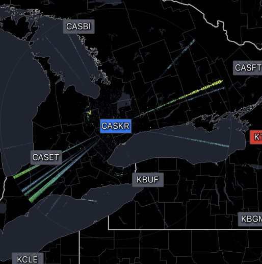
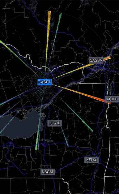
@In2ThinAir@MattWallace888 Those are just radar spikes, and since that map is a collection of different radar site's data it goes in different directions. Sometimes radars pick up these false returns and the mosaic of radars normally can filter them out, but this isn't the case here. Here's a few examples