Tomorrow, Oct. 4, there is a Nationwide Emergency Alert test.
At 1:20 p.m. alerts will be sent to smartphones through the Wireless Emergency Alert system and to television and radio broadcasts. The test follows our regular 1 p.m. monthly outdoor warning siren test.
WINTER WEATHER ADVISORY TIL 6 PM Mon Nov 14. 2-4" snowfall today. Plan on slippery road conditions incl 4 the evening commute. Slow down & be extra careful when driving. https://t.co/sjeNQqiPlj or call 511 for the latest road conditions b4 U drive
During hot weather, take these steps to stay cool in the heat:
▪ Drink water.
▪ Use sunscreen.
▪ Limit outdoor activity.
▪ Wear loose, lightweight clothing.
Learn more: https://t.co/SO808RA37X
An excessive heat warning is in effect for Ramsey County until 8 p.m. Heat index values of 100°F to 108°F are expected.
More tips on staying safe and healthy during high temperatures are available at https://t.co/e9x0H6dfLf
Due to the extreme heat, the libraries in Maplewood and Roseville will remain open on Monday, June 20 until 11 p.m. Go to Ramsey County's website for safety tips: https://t.co/RymEpw2zBB
During hot weather, take these steps to stay cool in the heat:◾ Drink water.
◾ Use sunscreen.
◾ Limit outdoor activity.
◾ Wear loose, lightweight clothing.
Learn more: https://t.co/SO808RA37X
Severe Thunderstorm Warning for...
Ramsey County in east central Minnesota. Until 415 PM CDT.
* At 341 PM CDT, a severe thunderstorm was located over Minneapolis moving northeast at 55 mph.
HAZARD...Quarter size hail.
IMPACT...Damage to vehicles is expected.
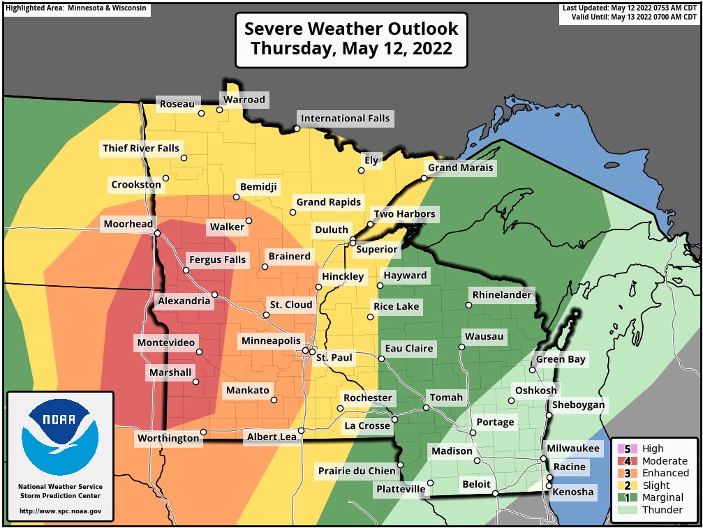
The risk has been upgraded to MODERATE (level 4/5) later today and this evening across western MN. Widespread wind damage, very large hail, and a few tornadoes are expected. Be prepared for severe weather later today!
SPECIAL WEATHER STATEMENT
NWS TWIN CITIES/CHANHASSEN 858 PM WED MAY 11 2022
URBAN & SMALL STREAM FLOODING TIL 1030 PM CDT THROUGHOUT THE METRO AREA. FLOODING MAY CONTINUE FOR THE NEXT 60 - 90 MIN.
TURN AROUND, DON'T DROWN