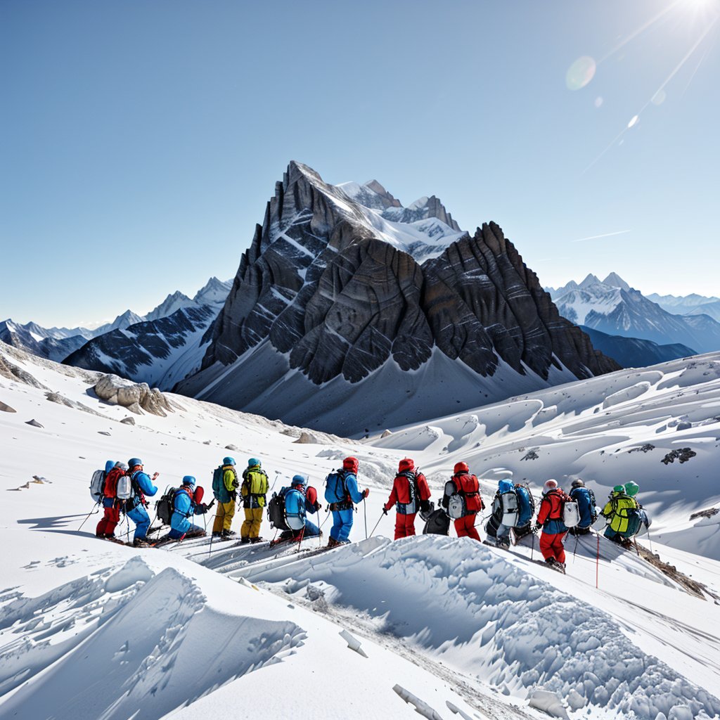
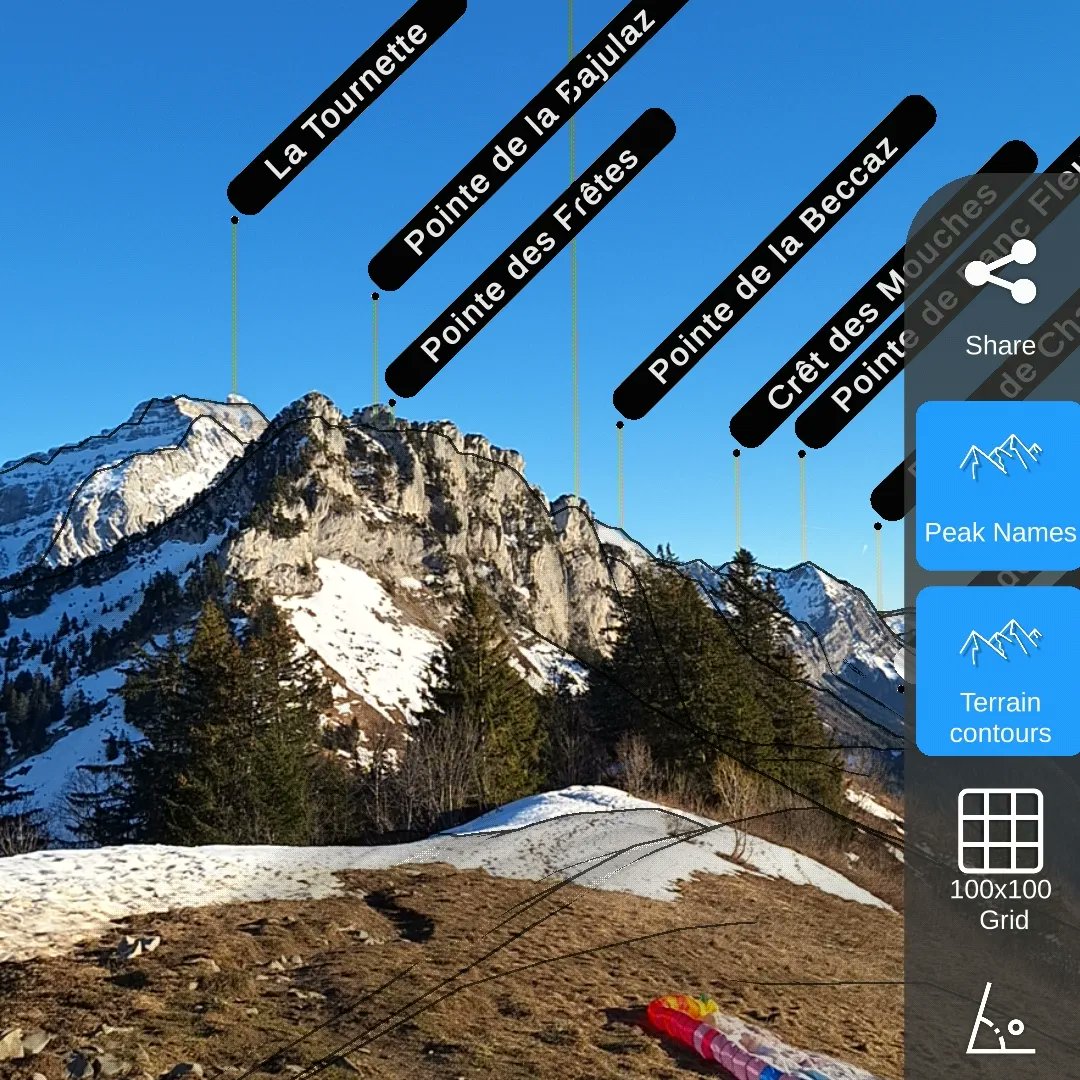
Backcountry skiing for Christmas is the best gift 🎁
Sharing good snow with my dad & bro. We use the app every time we go skiing and splitboarding, that's a good way to check what to improve!#reliefmaps#backcountryskiing#splitboarding
We have all seen the news about the L.A. fires. Satellite imagery help us understand how huge those fires are😢 Our thoughts are with all those affected.
#losangeles#fires images are from @copernicus_eu
@outdoorblake probably you selected a map layer that is not covering the area you are looking at. For exemple French IGN maps or sat layer. we'll add country flags on those layers to make it more clear. Thanks for the feedback
Hier c’était la Maxi-Race, encore une course épique ultra serrée entre Mathieu Blanchard, Thibaut Garrivier et Aurélien Dunand-Pallaz ! Retrouvez le trio de tête en replay sur Relief Maps : https://t.co/hA9oBYQs75
#trail#maxirace#trailrunning
Super interesting to see @woutvanaert and @tadejpogacar tracks side to side on yesterday's stage 16 of @LeTour
We can clearly see Pogacar stop to change bike and then push even faster on the way up to Combloux.
Full Replay => https://t.co/2fGSL9K1aN #TDF2023
Really proud to see @DigitalTwin share some of our work at @ReliefMaps. Thank you @Unity to build such an amazing tech ! 🙌You are helping indie devs to have their share in the future of tech and innovation !
https://t.co/q5LYYdpnwo
Cartography + Livetracking + #AR@ReliefMaps lets backcountry skiers make sure they are clear of avalanche risk so they can spend more time on the slopes ⛷️
📱App by indie dev @Le_duke#madewithunity