Five decades of hand‐feel soil texture estimation: Accuracy, challenges, and improvements - Barbetti - 2026 - Soil Science Society of America Journal - Wiley Online Library https://t.co/KLbGCVhfMj
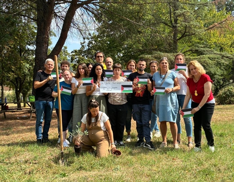
@orsiniufficiale Sara' banale dirlo ma hanno perso tutti. Israele dovrà fare i conti per generazioni del male che hanno fatto; mutilati, famiglie sterminate, gente morta di fame e di freddo
@orsiniufficiale Sugli ostaggi Hamas non ha vinto niente. La distruzione sistematica della Palestina con tutto quello che c’è sopra e sotto, ha dimostrato che Bibi era lì per liberarli ma per eliminare qualsiasi forma di vita a Gaza. E i parenti infuriati lo hanno ben capito
Last year we attempted to define 'soil' - now we have written a longer and shorter definition of ‘soil science’.
https://t.co/rhvrN23al5 https://t.co/Cj2nYCCqy9
A nice looking topsoil (right core). But how it got there tells us something about how Australian soils were managed since European settlement . Similarly, all that's left of the old topsoil 25-43cm is gravel.
Left core appends to bottom of right core
#barossa#colluvium #hillslope #erosion
✨ The GeoPAT 2 software allows the segmentation/regionalization of large spatial raster data.✨
Now, thanks to D G Rossiter, it can now be installed on MacOS.
You can find all of the instructions and other links at https://t.co/P3UYTvIjT0.
#sil#spatialpatterns#gitchat
My talk "Comparing spatial patterns in raster data using R" at #foss4ge2024 in Tartu:
📅 2024-07-04
🕥 10:30 local time (https://t.co/HrkziE5WRs)
📺 Watch live: https://t.co/MF588HW5jp
#rstats#rspatial#spatialpatterns