Volume is returning to ARC.
Projects are starting to slow moon.
Smart money doesn’t wait for the full breakout, it gets in position early.
Low cap. Real progress. Rising ecosystem momentum.
Get into position. 🔷
TERRANTIR IS GOING DEEPER INTO THE MAP. 🌍🛰️
We’re integrating international government GIS data into TERRANTIR to unlock deeper insight into the structures that move the world.
Infrastructure. Regions. Networks. Activity.
Layer by layer, the globe gets smarter.
This means more context, more signal, and a stronger foundation for understanding the systems behind economies, logistics and real-world movement.
We’re not just mapping the world. We’re mapping how it works.
GM RH Chain ☀️
AI led RH with 960K category txns.
$SWARM brought velocity;
$AI/NVDA depth.
$CREORA printed $26M volume on $4.2K liquidity;
$CrawlScan stayed early.
Which signal deserves a deeper scan?
High risk · NFA/DYOR
FROM PIN TO PORTABLE IDEA. Find a place in TERRANTIR, sketch an area or route, then export the marks as GeoJSON. Investor lens: the globe is becoming a workbench where a geographic question can leave the screen and enter a research workflow. 🗼
@TERRANTIR_AI This is a solid step forward Mobile-first exploration plus public webcams will bring the map to life with even more real-world visibility.
A hazard pin is only useful if its source and clock survive the zoom. TERRANTIR’s live Nature Events workspace groups hazards, weather and Earth observation while keeping each source’s geometry, timestamp meaning and attribution. Investor lens: trust is a product feature. 🗼
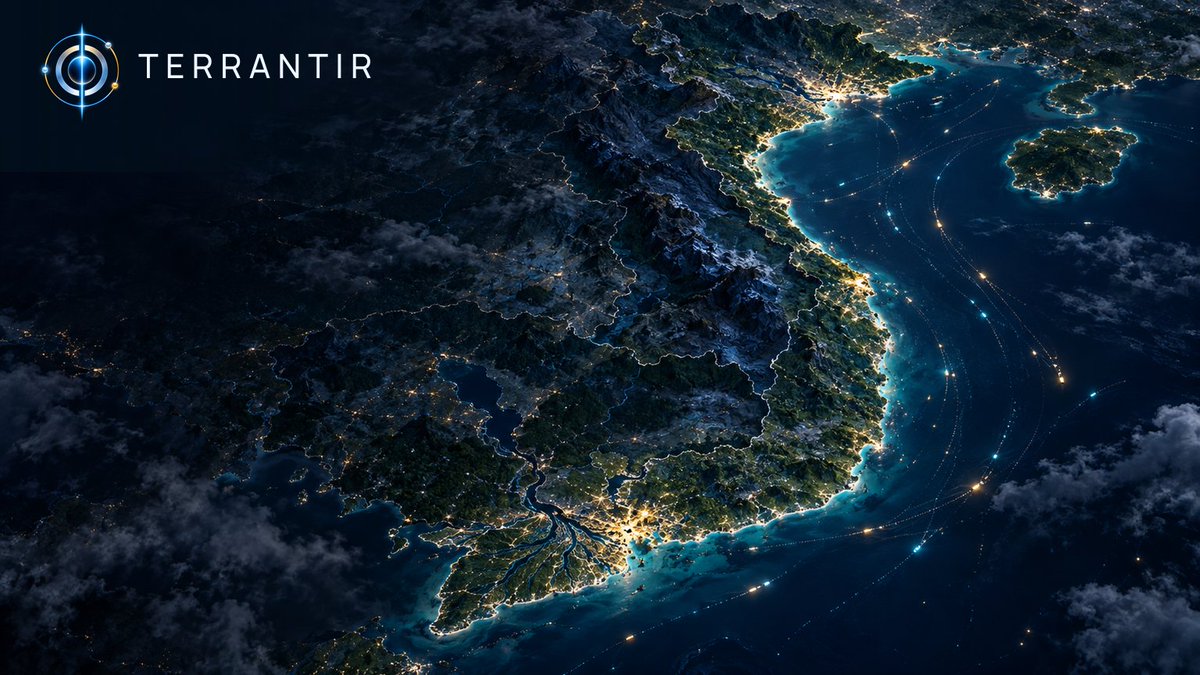
MAP MATH: Viet Nam’s exports of goods & services equaled 90% of GDP in 2024. The U.S.: 11%. Same WDI measure, ~8.2× apart. For investors, exposure looks different when the question starts with geography. TERRANTIR’s thesis: map the question, check the source. World Bank WDI.