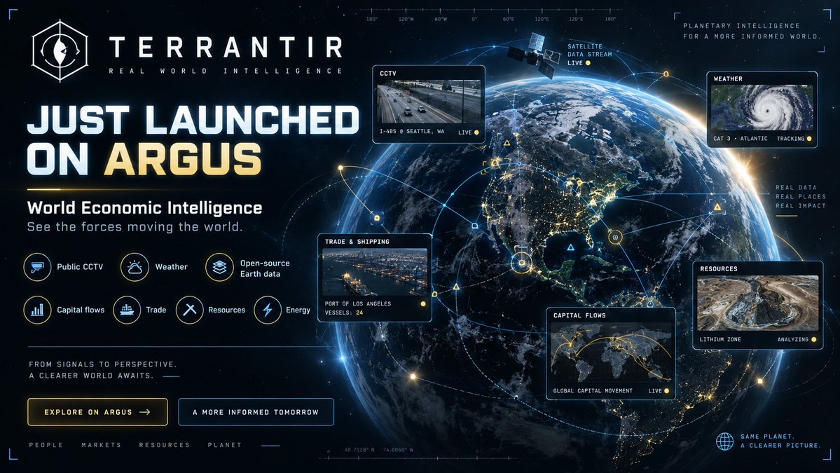
TERRANTIR JUST LAUNCHED ON @Arguspad 👁️🌍
TERRANTIR is World Intelligence Layer in your browser
interactive 3D Earth bringing public CCTV and opensource geographic data into one explorable interface
See the forces moving the world
0xB38F46851825dd9413687e62cE57A3f178d4Af84
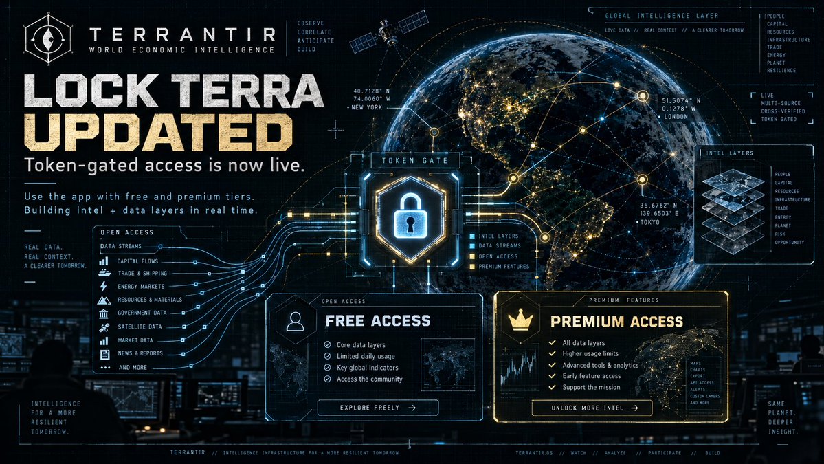
TERRANTIR BUILD UPDATE 👁️🔒
We’ve updated Lock TERRA, the app now supports token-gated access.
Free and premium tiers are taking shape as we build out more intelligence and data layers.
More context. Deeper connections. One globe.
TERRANTIR USE CASE: FOLLOW THE DISRUPTION. 👁️🌍
Imagine a storm approaching a major shipping hub.
Open TERRANTIR. Find the port. Explore vessel activity, overlay the weather and check nearby flight tracks, all on one interactive 3D Earth.
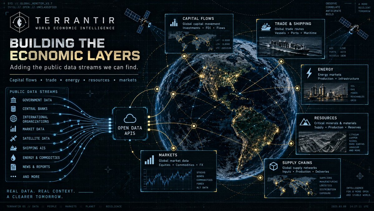
We’re building the economic layer next: connecting that geographic context with trade, energy, resources and company relationships.
The goal: help traders and researchers investigate how real-world disruptions could affect supply chains and markets, with sources behind the connections.
Degens, there’s a whole economy behind the candles. 🔎
See the forces moving the world.
TERRANTIR utility in action. 👁️🌍
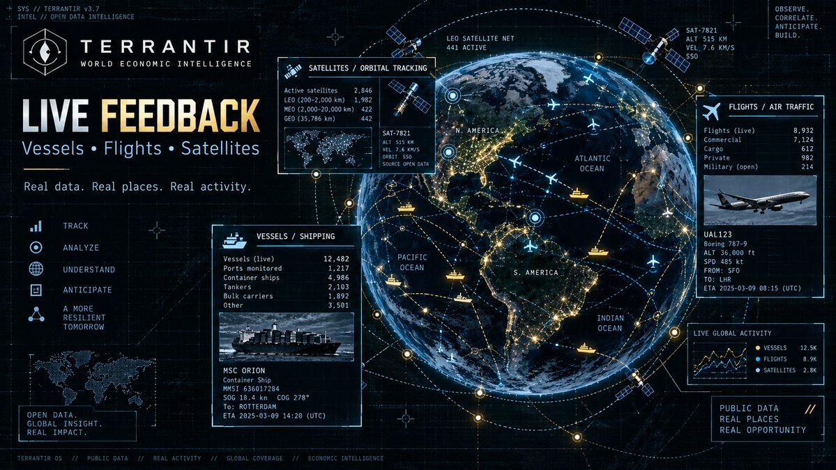
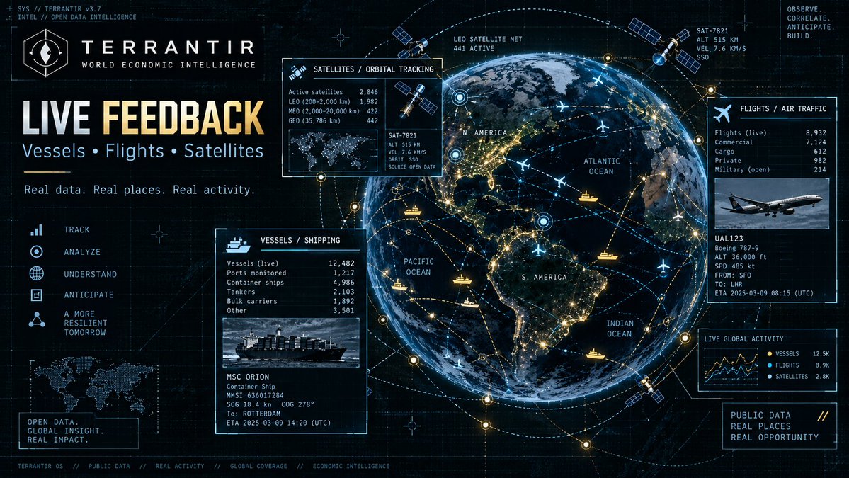
See live feedback across the real world:
🛰️ satellites
✈️ flights
🚢 vessels
Track movement, watch activity unfold, and explore the planet through real-time open data layers..
This is the start of a broader intelligence stack, turning signals from the physical world into usable context
.
Real data. Real places. Real activity.
See the forces moving the world.
TERRANTIR BUILD UPDATE 🌍🛠️
We’re building the economic layers: capital flows, trade, energy and resources.
Finding, checking and connecting public data streams to the globe, one source at a time.
Know a useful open API or dataset? Drop it below. 👇
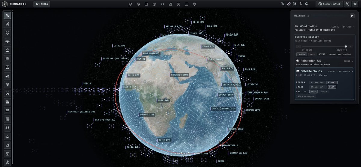
TERRANTIR FROM ORBIT. 🛰️🌍
Zoom out and see the planet from above.
With satellite view, TERRANTIR lets you explore Earth with live orbital context, weather layers and global telemetry in one interface.
Track the live sky. Watch the systems. See the world behind the markets.
This is more than a map.
It’s a planetary intelligence layer.
See the forces moving the world.
TERRANTIR JUST LAUNCHED ON @Arguspad 👁️🌍
TERRANTIR is World Intelligence Layer in your browser
interactive 3D Earth bringing public CCTV and opensource geographic data into one explorable interface
See the forces moving the world
0xB38F46851825dd9413687e62cE57A3f178d4Af84
DEGENS, ZOOM OUT. 👁️🌍
Explore the world behind the markets with TERRANTIR.
Join our Telegram, follow the build, share ideas and help shape the next economic intelligence layers.
See the forces moving the world.
👇 Join the community: https://t.co/UucWzze8CR
#TERRANTIR
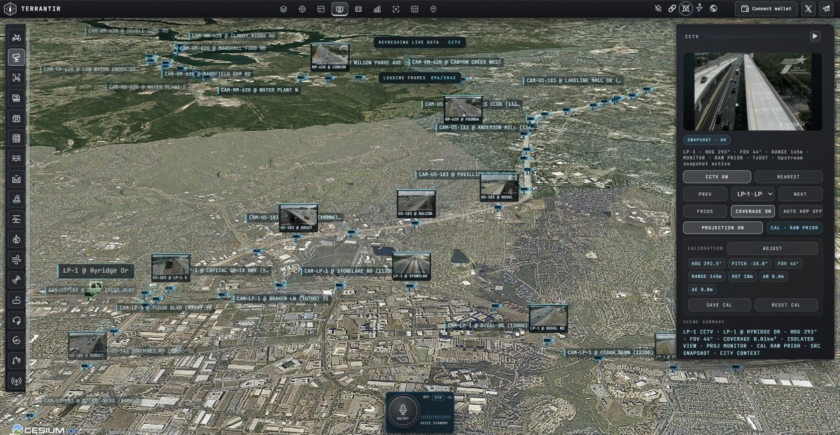
DEGENS, WE’VE GOT EYES ON THE GROUND. 👁️🌍
TERRANTIR maps public CCTV snapshots onto 3D Earth.
Zoom in. Pick a camera. Explore the world behind the markets.
Street-level perspective. Global ambition.
The intelligence layer is taking shape. 🔥
🔍 Diving into New Materialism: How do objects and digital artifacts wield agency? What does this mean for our societal roles? Unpack these ideas with us! #VISTAS
Exploring new perspectives on our world's direction and how we, with emerging non-human actors, can navigate toward mutual coexistence. #VISTAS#Coexistence#NewPerspectives
Exploring the Agency of the Inanimate: How can non-traditional agents influence change in a post-human world? Dive into ecosystems, digital artifacts, and marginalized narratives with us. #VISTAS#ChangeAgents#NewMaterialism#PostHumanDiscourse
Call to Action: Join the dialogue! How can we redefine agency in a post-human world? What role should tech play in amplifying inanimate & marginalized voices? #VISTAS#PostHuman#Tech4Change